South Gill

Sea, Estuary, Creek in Shetland

Scotland

South Gill

Country near Hamnavoe In the distance, Muckle Ossa, 56m in <a href="https://www.geograph.org.uk/gridref/HU2185">HU2185</a>, is very prominent.
Country near Hamnavoe Credit: David Purchase

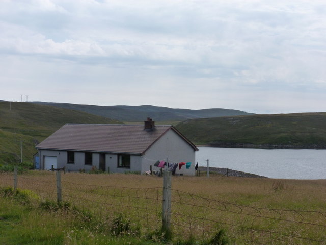
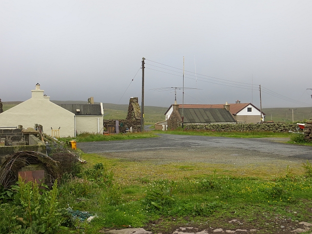
South Gill is a small coastal settlement located in the South Mainland of the Shetland Islands, Scotland. Situated on the eastern coast of the mainland, it is nestled between the North Sea to the east and the Atlantic Ocean to the west. The name "South Gill" refers to the geographical feature in the area, which consists of a small estuary and creek.

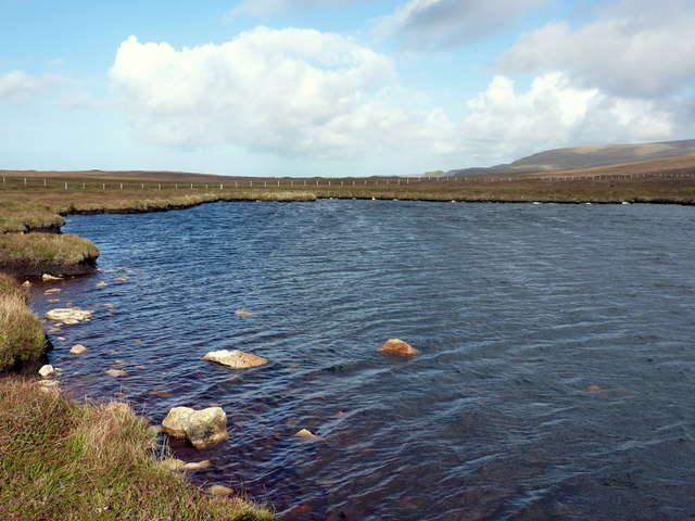
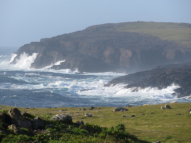
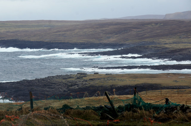
The estuary at South Gill is formed where the waters of the sea meet with a freshwater stream, creating a unique ecological environment. This estuary serves as a habitat for various marine and bird species, making it an important area for wildlife conservation. The creek, which is a narrow waterway, runs inland from the estuary and is surrounded by picturesque coastal scenery.

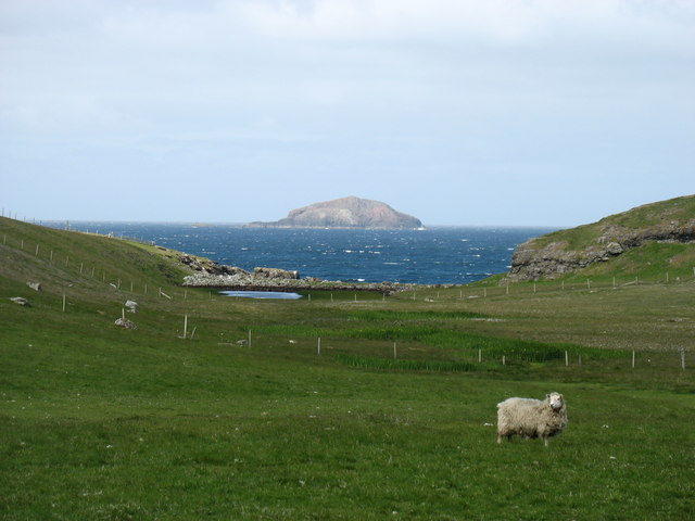
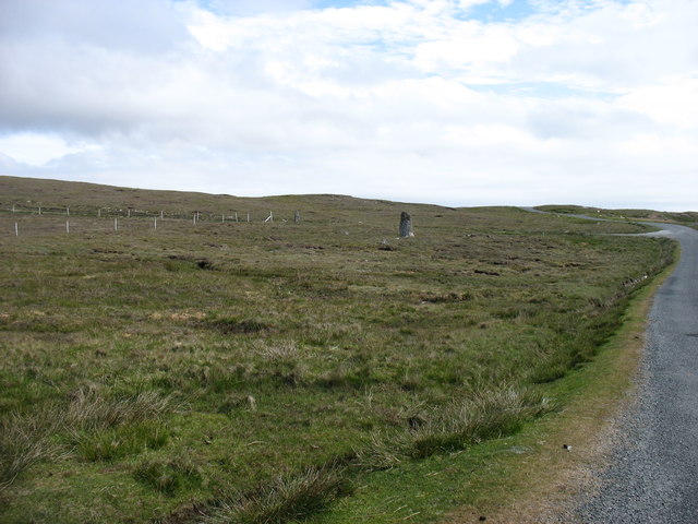
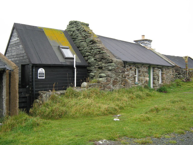
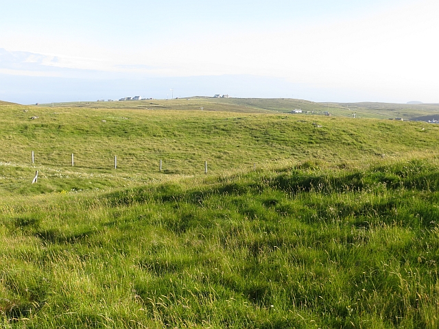
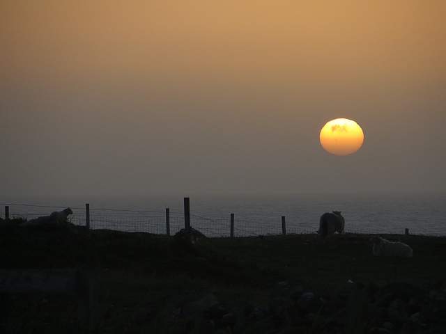
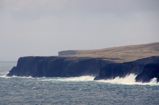
The coastal landscape of South Gill is characterized by rugged cliffs, sandy beaches, and rocky outcrops. The area offers stunning panoramic views of the sea and the surrounding islands. The coastline is also dotted with small fishing boats and lobster creels, highlighting the importance of fishing in the local economy.

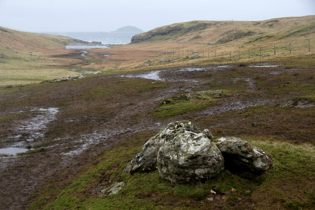
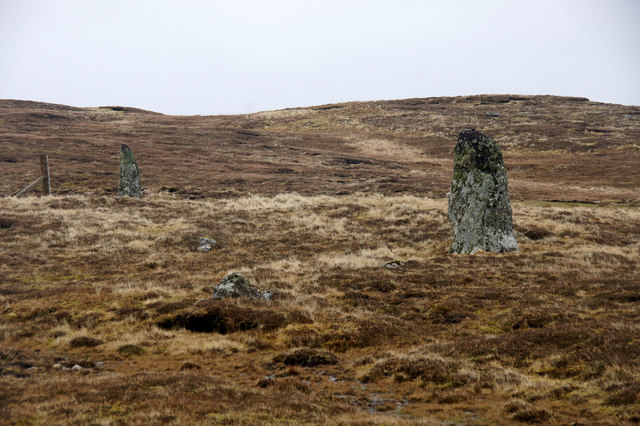
South Gill is a popular spot for outdoor activities such as birdwatching, fishing, and coastal walks. Visitors can explore the diverse flora and fauna, including seabirds, seals, and even occasional sightings of whales and dolphins. The area is also known for its archaeological sites, with ancient settlements and burial grounds scattered throughout the region.

Overall, South Gill in Shetland offers a beautiful blend of coastal landscapes, wildlife habitats, and historical significance, making it a must-visit destination for nature enthusiasts and those seeking a tranquil seaside experience.

If you have any feedback on the listing, please let us know in the comments section below.
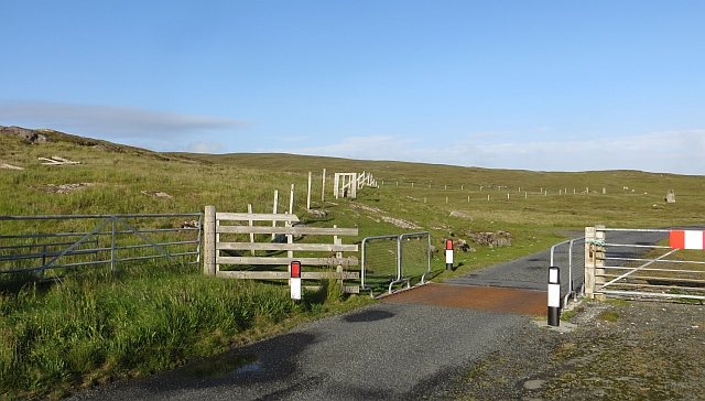
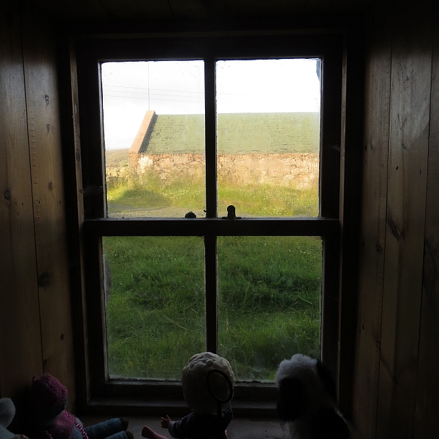
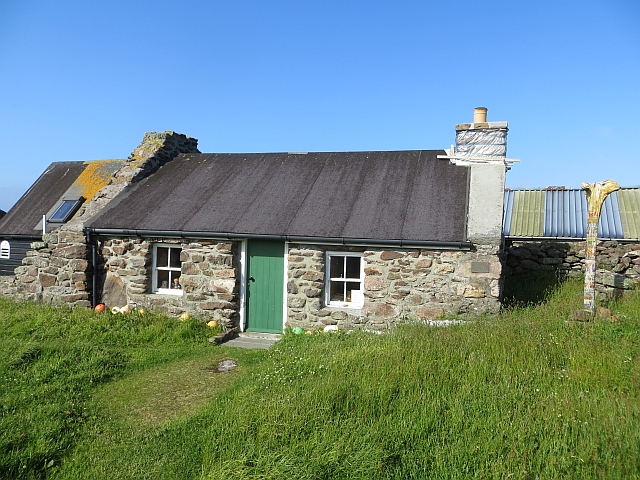
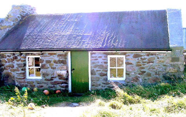
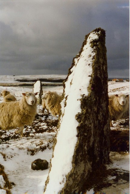
South Gill Images

Images are sourced within 2km of 60.522833/-1.5663375 or Grid Reference HU2382. Thanks to Geograph Open Source API. All images are credited.

Country near Hamnavoe In the distance, Muckle Ossa, 56m in <a href="https://www.geograph.org.uk/gridref/HU2185">HU2185</a>, is very prominent.
Country near Hamnavoe
In the distance, Muckle Ossa, 56m in HU2185, is very prominent.
One of the Giants' stones at Hamnavoe I don't wish to be unkind, but it seems to me that these must have been rather small giants.
One of the Giants' stones at Hamnavoe
I don't wish to be unkind, but it seems to me that these must have been rather small giants.
Sand Water near Tingon Another of the many Sand Waters in Shetland, this one just north of Gluss Water, with Ketligill Head in the distance and the gables of the house at Sumra just visible on the skyline.
Sand Water near Tingon
Another of the many Sand Waters in Shetland, this one just north of Gluss Water, with Ketligill Head in the distance and the gables of the house at Sumra just visible on the skyline.
Eshaness: the post office This small bungalow, Urafirth, is the home of the postmistress and is thus home to the post office, open for two hours each on Monday and Saturday mornings and another two on Thursday afternoons. The office does not have a familiar glass screen but is simply a desk in one of the rooms.
Eshaness: the post office
This small bungalow, Urafirth, is the home of the postmistress and is thus home to the post office, open for two hours each on Monday and Saturday mornings and another two on Thursday afternoons. The office does not have a familiar glass screen but is simply a desk in one of the rooms.
Johnnie Notions' cottage This cottage is now a Shetland camping Böd.  In this remote corner of Shetland Johnnie Notions discovered a vaccination against Smallpox.  For more see:
<span class="nowrap"><a title="http://www.baysights.com/shetlandbooks/shetdocs/storyarch.htm" rel="nofollow ugc noopener" href="http://www.baysights.com/shetlandbooks/shetdocs/storyarch.htm">Link</a><img style="margin-left:2px;" alt="External link" title="External link - shift click to open in new window" src="https://s1.geograph.org.uk/img/external.png" width="10" height="10"/></span>
Johnnie Notions' cottage
This cottage is now a Shetland camping Böd. In this remote corner of Shetland Johnnie Notions discovered a vaccination against Smallpox. For more see: LinkExternal link
Hamnavoe A collection of houses and ruins at the road end. Rain was clearing as fast as it had arrived.
Hamnavoe
A collection of houses and ruins at the road end. Rain was clearing as fast as it had arrived.
South Head A big swell breaks on the crags north of Hamnavoe.
South Head
A big swell breaks on the crags north of Hamnavoe.
Grassland, Hamnavoe The Esha Ness plateau.
Grassland, Hamnavoe
The Esha Ness plateau.
Cattle grid, Hamnavoe
Window, Johnny Notion's View through the thick walls of the restored croft house which is now operating as a camping böd - a simple bunkhouse.  There are four beds and you will need your own stove at this one. A lovely place.
Window, Johnny Notion's
View through the thick walls of the restored croft house which is now operating as a camping böd - a simple bunkhouse. There are four beds and you will need your own stove at this one. A lovely place.
Sunset, Hamnavoe The sun makes a short trip beneath the horizon.
Sunset, Hamnavoe
The sun makes a short trip beneath the horizon.
Johnny Notion's One of the simplest of the camping böds and a lovely place to stay.
Johnny Notion's
One of the simplest of the camping böds and a lovely place to stay.
North Head, Tingon, from Leascole, Eshaness
The mouth of Hamna Voe from Leascole, Eshaness
View to Whal Wick from Hamnavoe, Eshaness Muckle Ossa in the distance.
View to Whal Wick from Hamnavoe, Eshaness
Muckle Ossa in the distance.
The Giant's Stones, Hamnavoe, Eshaness
Hamnavoe Bod,  near Esha Ness Not the Hamnavoe on West Burra. One can stay in this primitive Bod overnight.
Hamnavoe Bod, near Esha Ness
Not the Hamnavoe on West Burra. One can stay in this primitive Bod overnight.
Giants Stones Eshaness Giants stones and hungry sheep.
Giants Stones Eshaness
Giants stones and hungry sheep.
Show me another place!

South Gill is located at Grid Ref: HU2382 (Lat: 60.522833, Lng: -1.5663375)

Unitary Authority: Shetland Islands

Police Authority: Highlands and Islands

What 3 Words

///loosens.shops.important. Near Brae, Shetland Islands

Nearby Locations

South Head South Gill

Related Wikis

Johnnie Notions

John Williamson (c. 1730 – c. 1803), more commonly known by the nickname Johnnie Notions (pronounced [ˌdʒoni ˈnoʃəns], JOH-nee-NOH-shəns) was a self-taught...

Tingon

Tingon is a peninsula in the north-west of Northmavine, Shetland. It is delineated on the east by Ronas Voe, and on the west by Hamnavoe. It is designated...

Braehoulland

Braehoulland is a hamlet on Mainland, in Shetland, Scotland. Braehoulland is situated within the parish of Northmaven. Eshaness Community Centre is located...

Esha Ness

Esha Ness, also spelled Eshaness, is a peninsula on the west coast of Northmavine, on the island of Mainland, Shetland, Scotland. Esha Ness Lighthouse...

Have you been to South Gill?

Leave your review of South Gill below (or comments, questions and feedback).