Findon Shore
Sea, Estuary, Creek in Kincardineshire
Scotland
Findon Shore
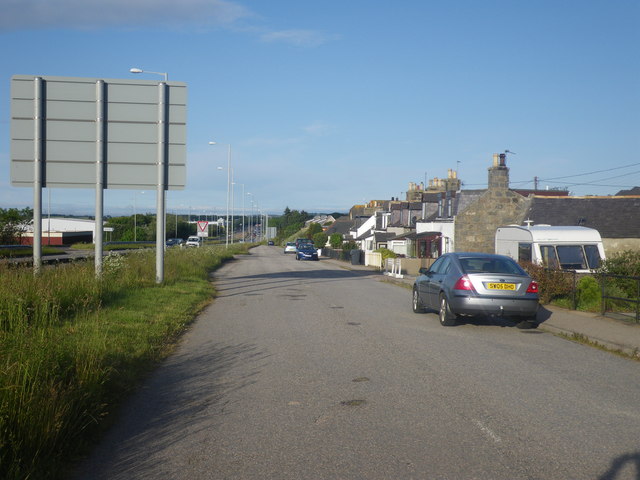
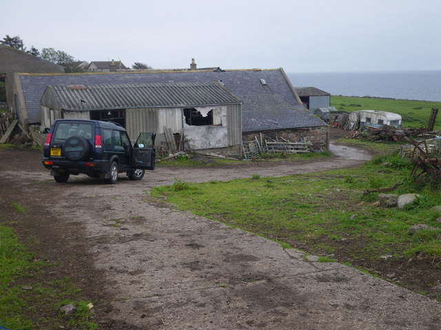
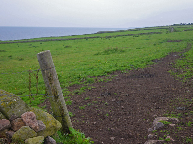
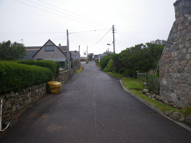
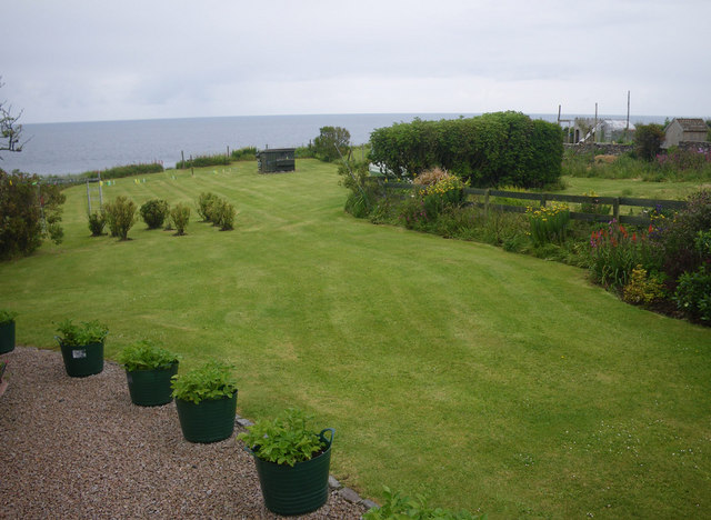
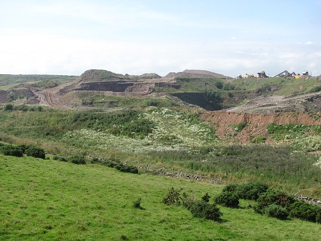
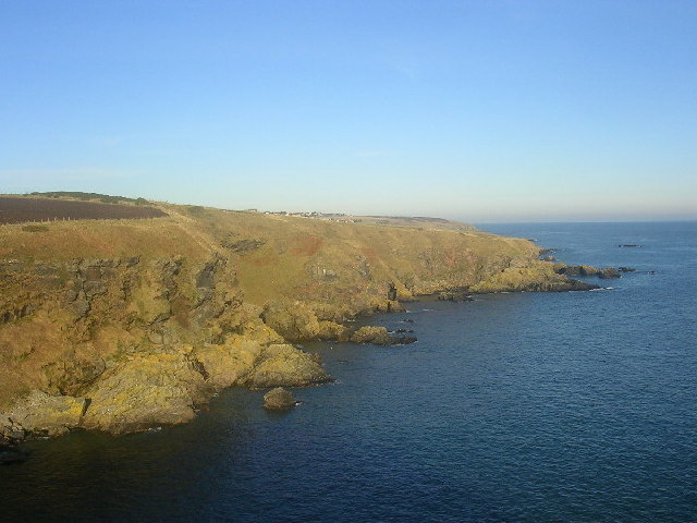
Findon Shore is a picturesque coastal area located in Kincardineshire, Scotland. Situated on the North Sea, it offers a stunning blend of natural beauty and historical significance. The shore stretches for approximately 1.5 miles and is characterized by its rugged cliffs, sandy beaches, and abundant wildlife.
The area is divided into three distinct sections: the sea, estuary, and creek. The sea, with its deep blue waters, forms the eastern boundary of Findon Shore. It provides a breathtaking backdrop and offers opportunities for various water activities such as swimming, sailing, and fishing. The estuary, located towards the south, is a haven for bird watchers, as it serves as a temporary home to numerous migratory birds throughout the year. The estuary also supports a diverse ecosystem of marine life, including seals, dolphins, and various fish species.
The creek, nestled towards the north, is a sheltered inlet that offers a peaceful and scenic environment. Here, visitors can enjoy leisurely walks along the sandy shores, explore rock pools teeming with marine life, or simply relax and take in the stunning coastal views. The creek is also home to a variety of seabirds, making it a popular spot for birdwatching enthusiasts.
Findon Shore's rich history is evident through the remains of a medieval chapel and a nearby ancient burial ground. These historical landmarks add an air of mystique and intrigue to the area.
Overall, Findon Shore is a captivating coastal destination that showcases the beauty of Scotland's natural landscapes and offers a wide range of activities for nature lovers and history enthusiasts alike.
If you have any feedback on the listing, please let us know in the comments section below.
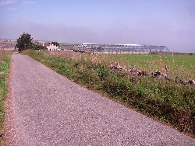
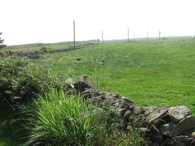
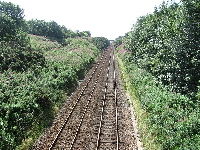
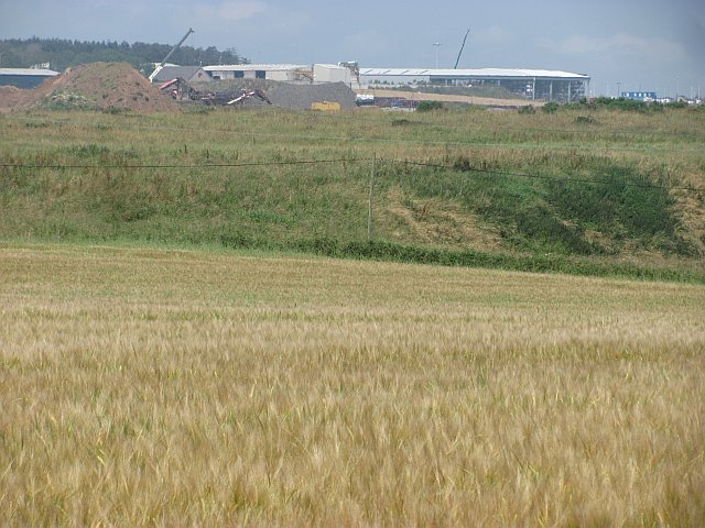
Findon Shore Images
Images are sourced within 2km of 57.063515/-2.1049354 or Grid Reference NO9396. Thanks to Geograph Open Source API. All images are credited.


Findon Shore is located at Grid Ref: NO9396 (Lat: 57.063515, Lng: -2.1049354)
Unitary Authority: Aberdeenshire
Police Authority: North East
What 3 Words
///scatters.glaze.demanding. Near Portlethen, Aberdeenshire
Nearby Locations
Related Wikis

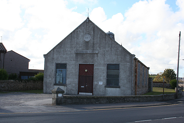
Findon, Aberdeenshire
Findon (Gaelic: Fionndan, Scots: Finnan) is a fishing village eight miles south of Aberdeen, famous for originating the smoked haddock known as Finnan...

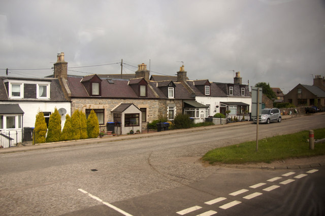
Portlethen Village
Portlethen Village is a settlement located to the east of Portlethen along the North Sea coast in Aberdeenshire, Scotland. The village is also known as...

Craigmaroinn
Craigmaroinn is a skerry in the North Sea near the Aberdeenshire coastline in Scotland. Craigmaroinn is situated midway between the coastal villages of...

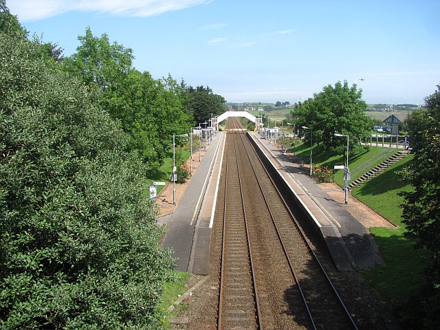
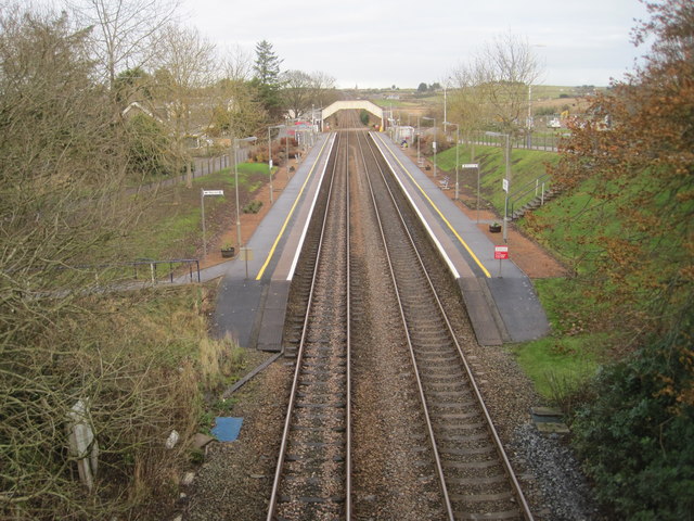
Portlethen railway station
Portlethen railway station serves the town of Portlethen in Aberdeenshire, Scotland. It is sited 232 miles 59 chains (374.6 km) from Carlisle via Perth...

Portlethen
Portlethen (; Scottish Gaelic: Port Leathain) is a town located approximately 7 miles south of Aberdeen, Scotland along the A92. The population according...
Portlethen Academy
Portlethen Academy is a six-year comprehensive secondary school in Portlethen, Aberdeenshire, Scotland. == History == With the expansion of the communities...
Cammachmore Bay
Cammachmore Bay is an embayment of the North Sea between Stonehaven and Aberdeen in Aberdeenshire, Scotland. The fishing village of Downies is situated...
Portlethen Moss
The Portlethen Moss is an acidic bog nature reserve located to the west of the town of Portlethen, Aberdeenshire in Scotland. Like other mosses, this...
Nearby Amenities
Located within 500m of 57.063515,-2.1049354Have you been to Findon Shore?
Leave your review of Findon Shore below (or comments, questions and feedback).