Rodden Hive
Sea, Estuary, Creek in Dorset
England
Rodden Hive

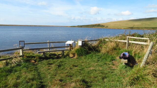
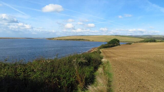
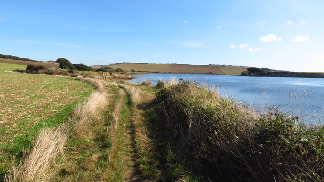
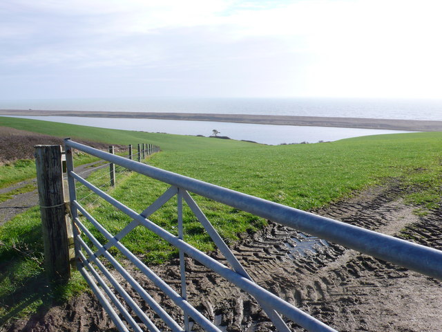
Rodden Hive is a picturesque coastal area located in the county of Dorset, England. Situated on the south coast, it lies between the towns of Weymouth and Portland. This area is known for its stunning natural beauty, featuring a combination of sea, estuary, and creek landscapes.
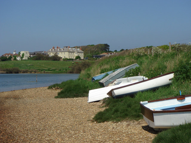
The hive is predominantly formed by the River Jordan and its estuary, which flows into the English Channel. This estuary creates a sheltered creek, offering a safe haven for boats and wildlife. The surrounding landscape is characterized by rolling hills and rocky cliffs, providing a dramatic backdrop to the serene waters.
The sea at Rodden Hive is a popular destination for water sports enthusiasts and beachgoers. The sandy shores and clear waters make it ideal for swimming, kayaking, and paddleboarding. Visitors can enjoy the tranquility of the area, taking in the panoramic views of the coastline and the nearby Isle of Portland.
The estuary and creek at Rodden Hive are home to a diverse range of wildlife. Birdwatchers can spot a variety of species, including herons, egrets, and oystercatchers, among others. The creek also supports a vibrant ecosystem of marine life, with seals occasionally being sighted in the waters.
Rodden Hive offers a peaceful retreat from the hustle and bustle of urban life. Its natural beauty and tranquil ambiance make it a popular destination for nature lovers, outdoor enthusiasts, and those seeking relaxation by the sea.
If you have any feedback on the listing, please let us know in the comments section below.
Rodden Hive Images
Images are sourced within 2km of 50.638309/-2.561224 or Grid Reference SY6082. Thanks to Geograph Open Source API. All images are credited.


Rodden Hive is located at Grid Ref: SY6082 (Lat: 50.638309, Lng: -2.561224)
Unitary Authority: Dorset
Police Authority: Dorset
What 3 Words
///typically.crabmeat.planet. Near Chickerell, Dorset
Nearby Locations
Related Wikis

Langton Herring
Langton Herring is a village and civil parish in the county of Dorset in South West England. It lies about 5 miles (8.0 km) north-west of the coastal resort...

Uggescombe Hundred
Uggescombe Hundred was a hundred in the county of Dorset, England, containing the following parishes: Abbotsbury Chilcombe Fleet Hawkchurch (part) Kingston...

Gore Cove
Gore Cove is an inlet cove in the Fleet lagoon behind Chesil Beach, on the south coast of Dorset, England, located on the Jurassic Coast World Heritage...
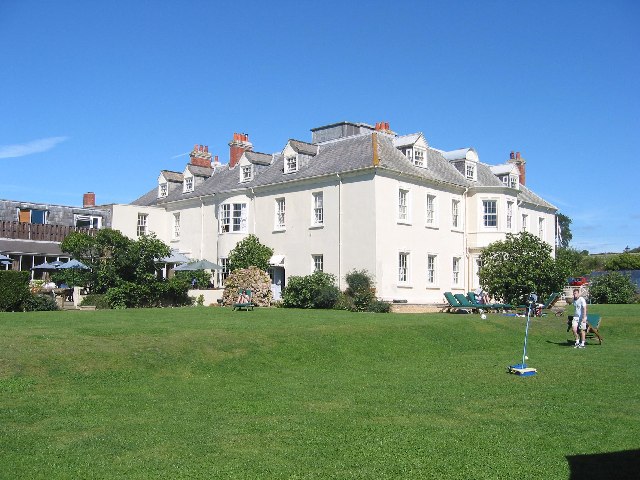
Moonfleet Manor Hotel
Moonfleet Manor Hotel is a hotel and former manor house in Fleet, Dorset, England. With 17th century origins, much of the house dates to the 18th and 19th...

Portesham railway station
Portesham was a small railway station serving the village of Portesham in the west of the English county of Dorset. == Location == The station was sited...

Abbotsbury Swannery
Abbotsbury Swannery is the only managed colony of nesting mute swans in the world. It is situated near the village of Abbotsbury in Dorset, England, 14...

Holy Trinity Church, Fleet
Holy Trinity Church is a Church of England church in Fleet, Dorset, England. It was built in 1827–29, replacing an earlier parish church which was partially...
Fleet, Dorset
Fleet is a small, scattered village and civil parish in south Dorset, England, situated approximately 2.5 miles (4.0 km) west of Weymouth. It consists...
Nearby Amenities
Located within 500m of 50.638309,-2.561224Have you been to Rodden Hive?
Leave your review of Rodden Hive below (or comments, questions and feedback).