Bight of Scessan

Sea, Estuary, Creek in Orkney

Scotland

Bight of Scessan

Copinsay: sunset over the lighthouse Looking across to the silhouetted lighthouse on the isle of Copinsay from the Aberdeen-Kirkwall-Lerwick ferry. It is four minutes to ten.
Copinsay: sunset over the lighthouse Credit: Chris Downer

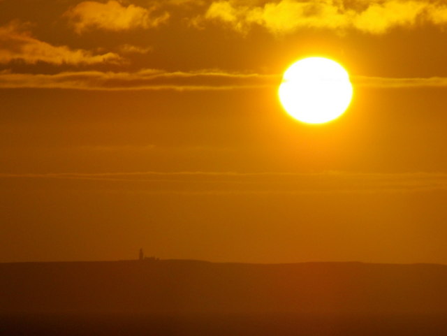
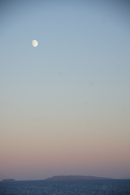
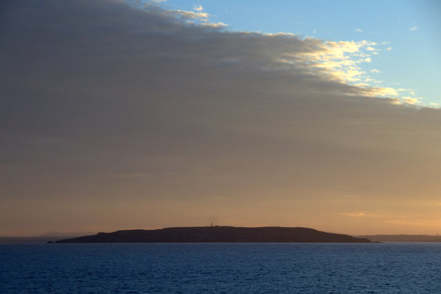
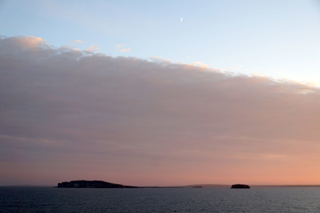
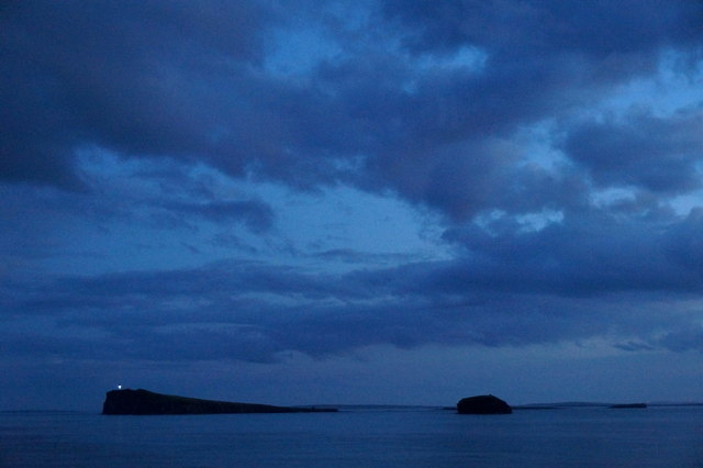
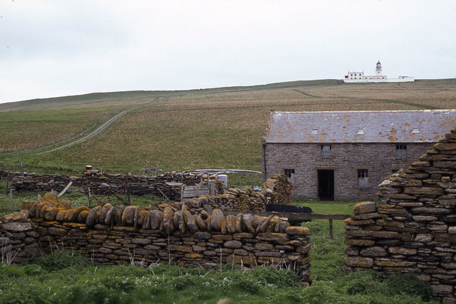
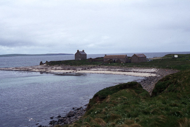
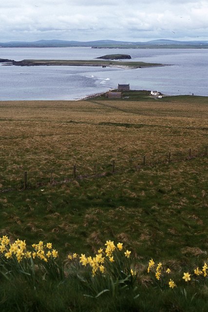
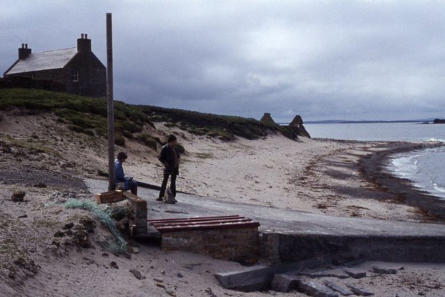
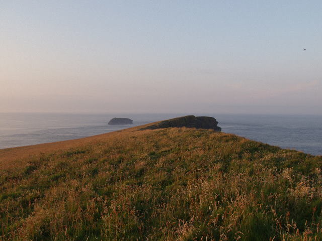
The Bight of Scessan is a sea inlet located on the north coast of the Orkney Mainland in Scotland. It is situated between the settlements of Finstown and Evie, and it opens up into the larger Bay of Firth. The bight is formed by a narrow strip of land that extends into the sea, creating a protected area with calm waters.

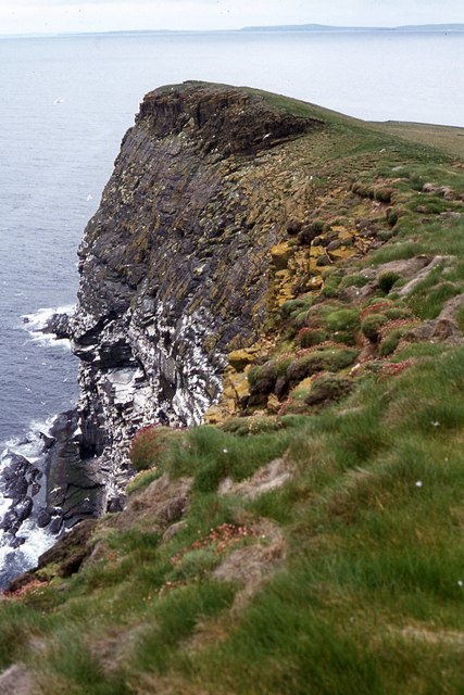
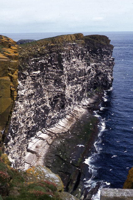
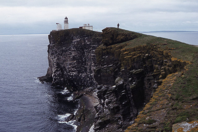
With its picturesque surroundings, the Bight of Scessan is a popular destination for nature enthusiasts and birdwatchers. The area is home to a diverse range of marine life, including seals, otters, and various species of seabirds. Visitors can often spot gannets, guillemots, and puffins nesting on the cliffs surrounding the bight.

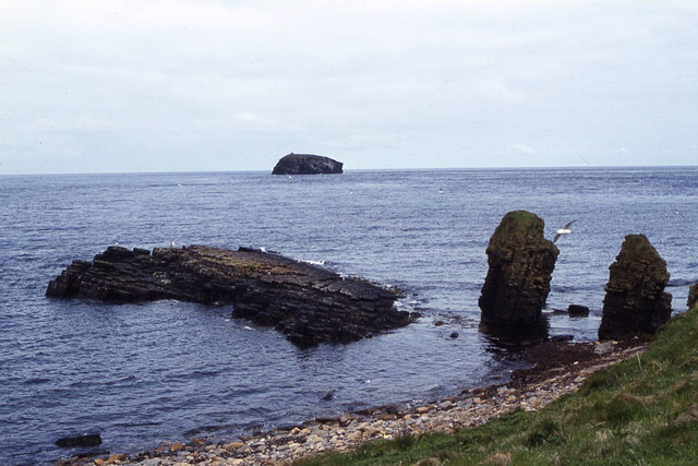
The tides in the Bight of Scessan can vary greatly, with high tides reaching up to five meters in height. During low tide, sandy beaches and tidal pools are exposed, providing an opportunity for beachcombing and exploring the rich intertidal zone.

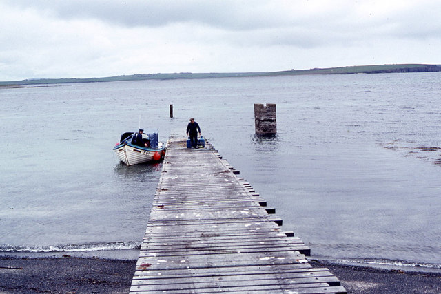
The bight also offers excellent opportunities for recreational activities such as kayaking and sailing. Its sheltered nature makes it suitable for beginners, while more experienced water sports enthusiasts can venture further out into the bay.

The landscape surrounding the Bight of Scessan is characterized by rolling green hills and farmland, adding to its scenic beauty. It is a peaceful and tranquil area, perfect for those looking to escape the bustle of everyday life and immerse themselves in the natural beauty of Orkney.

If you have any feedback on the listing, please let us know in the comments section below.

Bight of Scessan Images

Images are sourced within 2km of 58.898279/-2.7006563 or Grid Reference HY5901. Thanks to Geograph Open Source API. All images are credited.

Copinsay: sunset over the lighthouse Looking across to the silhouetted lighthouse on the isle of Copinsay from the Aberdeen-Kirkwall-Lerwick ferry. It is four minutes to ten.
Copinsay: sunset over the lighthouse
Looking across to the silhouetted lighthouse on the isle of Copinsay from the Aberdeen-Kirkwall-Lerwick ferry. It is four minutes to ten.
Moon over Copinsay Horse of Copinsay on the left, with the lighthouse just visible on the island. Taken from the ferry from Shetland, somewhere around HY6014.
Moon over Copinsay
Horse of Copinsay on the left, with the lighthouse just visible on the island. Taken from the ferry from Shetland, somewhere around HY6014.
Lighthouse on Copinsay
Copinsay and the Horse of Copinsay
Copinsay from the east Taken from the Aberdeen-Orkney-Shetland ferry 2-3 km to the east.
Copinsay from the east
Taken from the Aberdeen-Orkney-Shetland ferry 2-3 km to the east.
Copinsay and the Horse of Copinsay from the east Taken from the Aberdeen-Orkney-Shetland ferry 2-3 km to the east.
Copinsay and the Horse of Copinsay from the east
Taken from the Aberdeen-Orkney-Shetland ferry 2-3 km to the east.
Copinsay and the Horse of Copinsay at dusk Taken from the Aberdeen-Orkney-Shetland ferry a few kilometres to the NE.
Copinsay and the Horse of Copinsay at dusk
Taken from the Aberdeen-Orkney-Shetland ferry a few kilometres to the NE.
Landing jetty on Copinsay
Copinsay - Island farm and road up to lighthouse
Copinsay - Island farm and associated buildings
Copinsay - southeast facing cliffs near lighthouse
Copinsay - rough grazing on slope west of lighthouse
Copinsay - The lighthouse
Copinsay - cliffs northeast of lighthouse
Copinsay - view southwest along cliffs to lighthouse
Copinsay - rock stacks at Sandgeo Taing
Copinsay - Waiting for the return boat at top of jetty
Summit ridge on Island of Copinsay Copinsay is an escarpment, with a long north-westerly facing slope leading up to its highest point, then cliffs sheer into the water to the south east.  The picture was taken one evening and shows the summit ridge, looking north east to the Horse of Copinsay (HY6202)
Summit ridge on Island of Copinsay
Copinsay is an escarpment, with a long north-westerly facing slope leading up to its highest point, then cliffs sheer into the water to the south east. The picture was taken one evening and shows the summit ridge, looking north east to the Horse of Copinsay (HY6202)
Show me another place!

Bight of Scessan is located at Grid Ref: HY5901 (Lat: 58.898279, Lng: -2.7006563)

Unitary Authority: Orkney Islands

Police Authority: Highlands and Islands

What 3 Words

///sector.relieves.opened. Near Deerness, Orkney Islands

Related Wikis

Corn Holm

Corn Holm is a small tidal island in Orkney, near Copinsay to the west, off the north-eastern coast of Scotland. There was once a small chapel there, and...

Black Holm

Black Holm is a small tidal island in the Orkney Islands, near Copinsay to the west of Corn Holm off the north-eastern coast of Scotland. == Geography... ==

Copinsay

Copinsay (Old Norse: Kolbeinsey) is one of the Orkney Islands in Scotland, lying off the east coast of the Orkney Mainland. The smaller companion island...

Point of Ayre, Orkney

There are also two similarly named points in the British Isles: Point of Ayre, Isle of Man and Point of Ayr, Wales.Point of Ayre is a headland in the parish...

Horse of Copinsay

The Horse of Copinsay, also known as the Horse, is a rectangular uninhabited sea stack to the north east of Copinsay in the Orkney Islands, Scotland....

St Peter's Pool, Orkney

St Peter's Pool is a bay in the East Mainland of Orkney, Scotland. This bay was the site of significant coastal defences during World War II, when a German...

Deerness

Deerness (, locally , Old Norse: Dyrnes) is a quoad sacra parish (i.e. one created and functioning for ecclesiastical purposes only) and peninsula in Mainland...

The Gloup

The Gloup () is a collapsed sea cave in the Mull Head Nature Reserve in the islands of Orkney, Scotland. The name derives from the Old Norse "gluppa",...

Nearby Amenities

Located within 500m of 58.898279,-2.7006563
Created By: almien_coastlines mod
Lat/Long: 58.899834/-2.701916
Created By: almien_coastlines mod
Lat/Long: 58.899577/-2.701672
Created By: almien_coastlines mod
Lat/Long: 58.899956/-2.699442
Created By: almien_coastlines mod
Lat/Long: 58.898808/-2.701184
Created By: almien_coastlines mod
Lat/Long: 58.899949/-2.696474
Created By: almien_coastlines mod
Lat/Long: 58.899959/-2.700925
Created By: almien_coastlines mod
Lat/Long: 58.898303/-2.703908
Created By: almien_coastlines mod
Lat/Long: 58.902645/-2.700161
Created By: almien_coastlines mod
Lat/Long: 58.90009/-2.702162
Created By: almien_coastlines mod
Lat/Long: 58.899835/-2.702659
Created By: almien_coastlines mod
Lat/Long: 58.900345/-2.701665
Created By: almien_coastlines mod
Lat/Long: 58.898427/-2.702423
Created By: almien_coastlines mod
Lat/Long: 58.901621/-2.70017
Created By: almien_coastlines mod
Lat/Long: 58.901097/-2.69498
Created By: almien_coastlines mod
Lat/Long: 58.899325/-2.703158
Created By: almien_coastlines mod
Lat/Long: 58.901112/-2.701164
Created By: almien_coastlines mod
Lat/Long: 58.89932/-2.701179
Created By: almien_coastlines mod
Lat/Long: 58.898814/-2.703657
Created By: almien_coastlines mod
Lat/Long: 58.901367/-2.700667
Created By: almien_coastlines mod
Lat/Long: 58.899946/-2.695485
The data included in this document is from www.openstreetmap.org. The data is made available under ODbL.

Have you been to Bight of Scessan?

Leave your review of Bight of Scessan below (or comments, questions and feedback).