Slough Hythe
Sea, Estuary, Creek in Banffshire
Scotland
Slough Hythe

Slough Hythe is a picturesque coastal area located in Banffshire, Scotland. It is situated on the eastern coast of the country, overlooking the North Sea. This charming village is known for its breathtaking natural beauty, encompassing a combination of sea, estuary, and creek landscapes.
The village is nestled along the coast, offering stunning views of the sea and its rhythmic waves crashing against the rugged cliffs. The pristine sandy beaches provide a perfect spot for sunbathing, picnicking, and enjoying water activities such as swimming or surfing. The area is also a haven for birdwatching enthusiasts, as a variety of seabirds can be spotted along the shoreline.
The estuary at Slough Hythe is a unique ecosystem where the saltwater of the sea mixes with the freshwater from the surrounding land, creating a diverse habitat for plants and animals. The estuary is home to a wide range of marine life, including fish, shellfish, and various species of birds that thrive in this rich environment.
A peaceful creek meanders through the village, offering a tranquil setting for visitors to relax and enjoy the soothing sounds of flowing water. The creek is a favorite spot for fishing enthusiasts, who can try their luck at catching salmon, trout, or other freshwater fish.
In addition to its natural beauty, Slough Hythe boasts a rich history and cultural heritage. Visitors can explore the village's historic buildings, including the charming fishermen's cottages and the quaint local pub, which offers a warm welcome to both locals and tourists.
Overall, Slough Hythe is a hidden gem along the Banffshire coastline, offering a delightful blend of natural beauty, diverse ecosystems, and a glimpse into Scotland's coastal heritage.
If you have any feedback on the listing, please let us know in the comments section below.
Slough Hythe Images
Images are sourced within 2km of 57.686479/-2.9380738 or Grid Reference NJ4466. Thanks to Geograph Open Source API. All images are credited.


Slough Hythe is located at Grid Ref: NJ4466 (Lat: 57.686479, Lng: -2.9380738)
Unitary Authority: Moray
Police Authority: North East
What 3 Words
///dislikes.sailing.cage. Near Buckie, Moray
Nearby Locations
Related Wikis

Portessie
Portessie (Scots: Peterhythe or The Sloch) is a small fishing village east of Buckie, on the north-east coast of Scotland. It is commonly nicknamed "the...
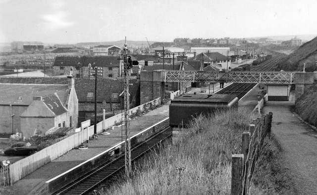
Portessie railway station
Portessie railway station was a joint Highland Railway (HR) and Great North of Scotland Railway (GNoSR) station at the junction between the Moray Coast...
Ianstown
Ianstown (Scottish Gaelic: Baile Iain) is a small village on the Moray Firth in Scotland. It lies within the council area of Moray. Its OS grid reference...
Rathven
Rathven (Scots: Raffin) is an ecclesiastical parish, village and former civil parish in the historic county of Banff, now in Moray, Scotland. The civil...
Strathlene
Strathlene is an area between Buckie and Findochty which has a caravan site facing onto the Moray Firth. At one time the Strathlene House Hotel, a former...
Findochty Castle
Findochty Castle is a ruined 16th century L-plan tower house, near Findochty, Moray, Scotland, about 2.5 miles (4.0 km) north-east of Buckie, and about...
Strathlene Golf Course
Strathlene at Findochty, near Buckie, is one of the oldest golf courses in Scotland. It was established in 1877 and is home to Strathlene Buckie Golf Club...
Buckie railway station
Buckie railway station was a railway station in Buckie, in current day Moray. The station was opened by the Great North of Scotland Railway (GNoSR) on...
Nearby Amenities
Located within 500m of 57.686479,-2.9380738Have you been to Slough Hythe?
Leave your review of Slough Hythe below (or comments, questions and feedback).