Chapel Pill

Sea, Estuary, Creek in Monmouthshire

Wales

Chapel Pill

Drain by Saltmarsh Lane The Wales Coast path runs along the Lane.
Drain by Saltmarsh Lane Credit: M J Roscoe

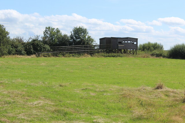
Chapel Pill is a small inlet located in Monmouthshire, Wales. Situated along the Severn Estuary, it is characterized by its picturesque natural beauty and diverse ecosystem. The area consists of a sea, estuary, and creek, making it an ideal spot for nature enthusiasts and those seeking a tranquil escape.

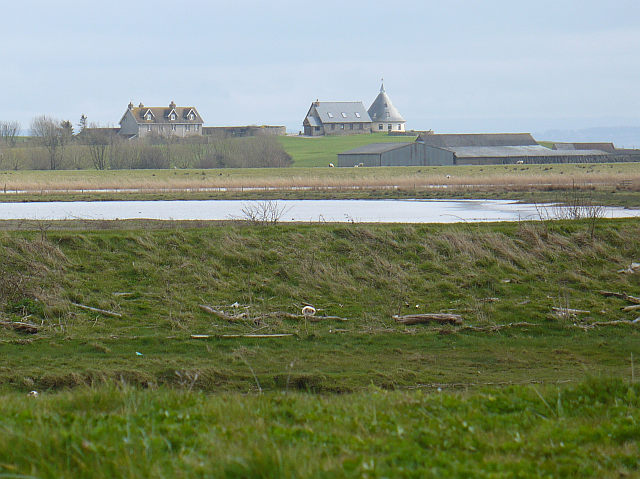
The sea surrounding Chapel Pill offers stunning views and opportunities for recreational activities such as swimming and boating. The estuary, formed by the River Severn, provides a unique habitat for various species of birds, fish, and marine life. The mudflats and salt marshes that line the estuary are of particular importance for migratory birds, making it a popular spot for birdwatching.

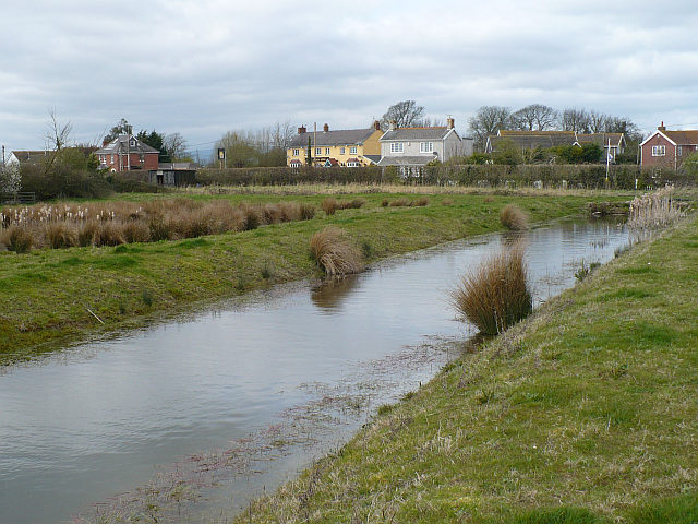
Chapel Pill Creek, a small waterway that flows into the estuary, adds to the charm of the area. The creek is surrounded by lush vegetation, creating a serene atmosphere for visitors to enjoy. Exploring the creek by kayak or canoe allows for a closer look at the diverse flora and fauna that thrive in this ecosystem.

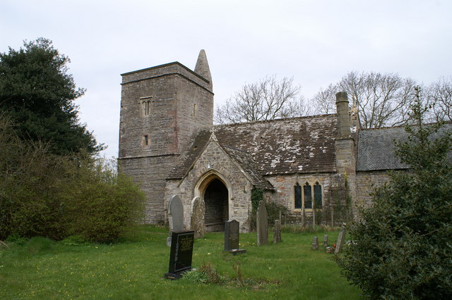
The beauty of Chapel Pill is further enhanced by its surrounding landscape. The rolling hills and green meadows provide a scenic backdrop for the estuary and creek. The area is also steeped in history, with remnants of an ancient chapel that once stood near the creek, giving Chapel Pill its name.

Overall, Chapel Pill in Monmouthshire offers a unique blend of sea, estuary, and creek, making it an idyllic destination for nature lovers and those seeking a peaceful retreat.

If you have any feedback on the listing, please let us know in the comments section below.

Chapel Pill Images

Images are sourced within 2km of 51.541958/-2.9136023 or Grid Reference ST3682. Thanks to Geograph Open Source API. All images are credited.

Drain by Saltmarsh Lane The Wales Coast path runs along the Lane.
Drain by Saltmarsh Lane
The Wales Coast path runs along the Lane.
Elmtree Farm, Saltmarsh Lane The closed gates and the appearance of the buildings and their surroundings suggest that they may be disused.
Elmtree Farm, Saltmarsh Lane
The closed gates and the appearance of the buildings and their surroundings suggest that they may be disused.
Gates onto Saltmarsh Grasslands Wales Coast Path leaves Saltmarsh Lane and enters part of the Newport Wetlands NNR.
Gates onto Saltmarsh Grasslands
Wales Coast Path leaves Saltmarsh Lane and enters part of the Newport Wetlands NNR.
Gated footbridge on Wales Coast Path The footbridge leads to a high wooden fence (a screen?); the public footpath turns to the left and runs between a hedge and the fence.
Gated footbridge on Wales Coast Path
The footbridge leads to a high wooden fence (a screen?); the public footpath turns to the left and runs between a hedge and the fence.
Gated footbridge to field The Wales Coast Path leaves the corridor between hedge and high wooden fence and turns right into a grass field.
Gated footbridge to field
The Wales Coast Path leaves the corridor between hedge and high wooden fence and turns right into a grass field.
Redhouse Hide, Saltmarsh Grasslands Elevated hide giving panoramic views over the Newport Wetlands NNR.
Redhouse Hide, Saltmarsh Grasslands
Elevated hide giving panoramic views over the Newport Wetlands NNR.
View towards Gold Cliff from Redhouse Hide Saltmarsh Grasslands.
View towards Gold Cliff from Redhouse Hide
Saltmarsh Grasslands.
Looking southwest from Redhouse Hide Saltmarsh Grasslands.
Looking southwest from Redhouse Hide
Saltmarsh Grasslands.
Corner of mown grass field The Wales Coast Path runs from the waymarker post along the edge of the field to the right, seen from Redhouse Hide in the opposite corner of the field.
Corner of mown grass field
The Wales Coast Path runs from the waymarker post along the edge of the field to the right, seen from Redhouse Hide in the opposite corner of the field.
Gated footbridge between grass fields Wales Coast Path on public footpath, Saltmarsh Grasslands.
Gated footbridge between grass fields
Wales Coast Path on public footpath, Saltmarsh Grasslands.
Gated footbridge to track Wales Coast Path crosses the wooden bridge and turns left on to the track to Goldcliff Road.
Gated footbridge to track
Wales Coast Path crosses the wooden bridge and turns left on to the track to Goldcliff Road.
Track into Saltmarsh Grasslands from Goldcliff Road The Wales Coast Path turns right off the track to the footbridge <a href="https://www.geograph.org.uk/photo/6935726">ST3583 : Gated footbridge to track</a>. The bilingual notice on the gate says, 'Wildlife refuge area No Access'.
Track into Saltmarsh Grasslands from Goldcliff Road
The Wales Coast Path turns right off the track to the footbridge ST3583 : Gated footbridge to track. The bilingual notice on the gate says, 'Wildlife refuge area No Access'.
Track out of nature reserve to Goldcliff Road The Wales Coast Path on the track leaves the Saltmarsh Grasslands and turns right on to the road.
Track out of nature reserve to Goldcliff Road
The Wales Coast Path on the track leaves the Saltmarsh Grasslands and turns right on to the road.
Moorlands, Goldcliff Road Detached house in the countryside.
Moorlands, Goldcliff Road
Detached house in the countryside.
Gates on Boat Road The Wales Coast Path, from Goldcliff Road, goes through the left gate on a restricted byway.
Gates on Boat Road
The Wales Coast Path, from Goldcliff Road, goes through the left gate on a restricted byway.
Boat Road, Newport Wetlands NNR The Wales Coast Path goes along the lane through the Saltmarsh Grasslands towards the tidal Goldcliff Pill.
Boat Road, Newport Wetlands NNR
The Wales Coast Path goes along the lane through the Saltmarsh Grasslands towards the tidal Goldcliff Pill.
Signposts at junction of byway and Goldcliff Road The sign on the left says, 'Redwick 5km'; the right hand post has a bridle path sign. The Wales Coast Path comes along the road and turns right on to the byway.
Signposts at junction of byway and Goldcliff Road
The sign on the left says, 'Redwick 5km'; the right hand post has a bridle path sign. The Wales Coast Path comes along the road and turns right on to the byway.
Monks' Ditch above sluice, Level Common Viewed from Wales Coast Path.
Monks' Ditch above sluice, Level Common
Viewed from Wales Coast Path.
Show me another place!

Chapel Pill is located at Grid Ref: ST3682 (Lat: 51.541958, Lng: -2.9136023)

Unitary Authority: Newport

Police Authority: Gwent

What 3 Words

///internet.blacken.joined. Near Goldcliff, Newport

Nearby Locations

Goldcliff Pill Chapel Pill

Related Wikis

Goldcliff, Newport

Goldcliff (Welsh: Allteuryn) is a village, parish and community to the south east of the city of Newport in South Wales. It lies within the Newport city...

Goldcliff Priory

Goldcliff Priory was a Benedictine monastery in Goldcliff, Newport, South Wales. It was established in 1113 by Robert de Chandos as a subsidiary house...

Whitson

Whitson is a village on the outskirts of the city of Newport, South Wales. It is located about 7 miles (11 km) south east of Newport city centre on the...

Llanwern (electoral ward)

Llanwern is the name of an electoral ward for Newport City Council in south Wales. It covers several rural communities to the east of the city. It is represented...

Nash, Newport

Nash (Welsh: Trefonnen) is a village and community to the south of the city of Newport, South Wales, in the Lliswerry ward. == Origin of the name == The...

St Mary's Church, Nash

The Church of St Mary the Virgin, Nash is the parish church of the village of Nash, situated about 3 kilometres (1.9 mi) south of the city of Newport,...

Uskmouth

Uskmouth (Welsh: Aberwysg) is an area to the south of the city of Newport, South Wales. == Location == Uskmouth is effectively in the west of the village...
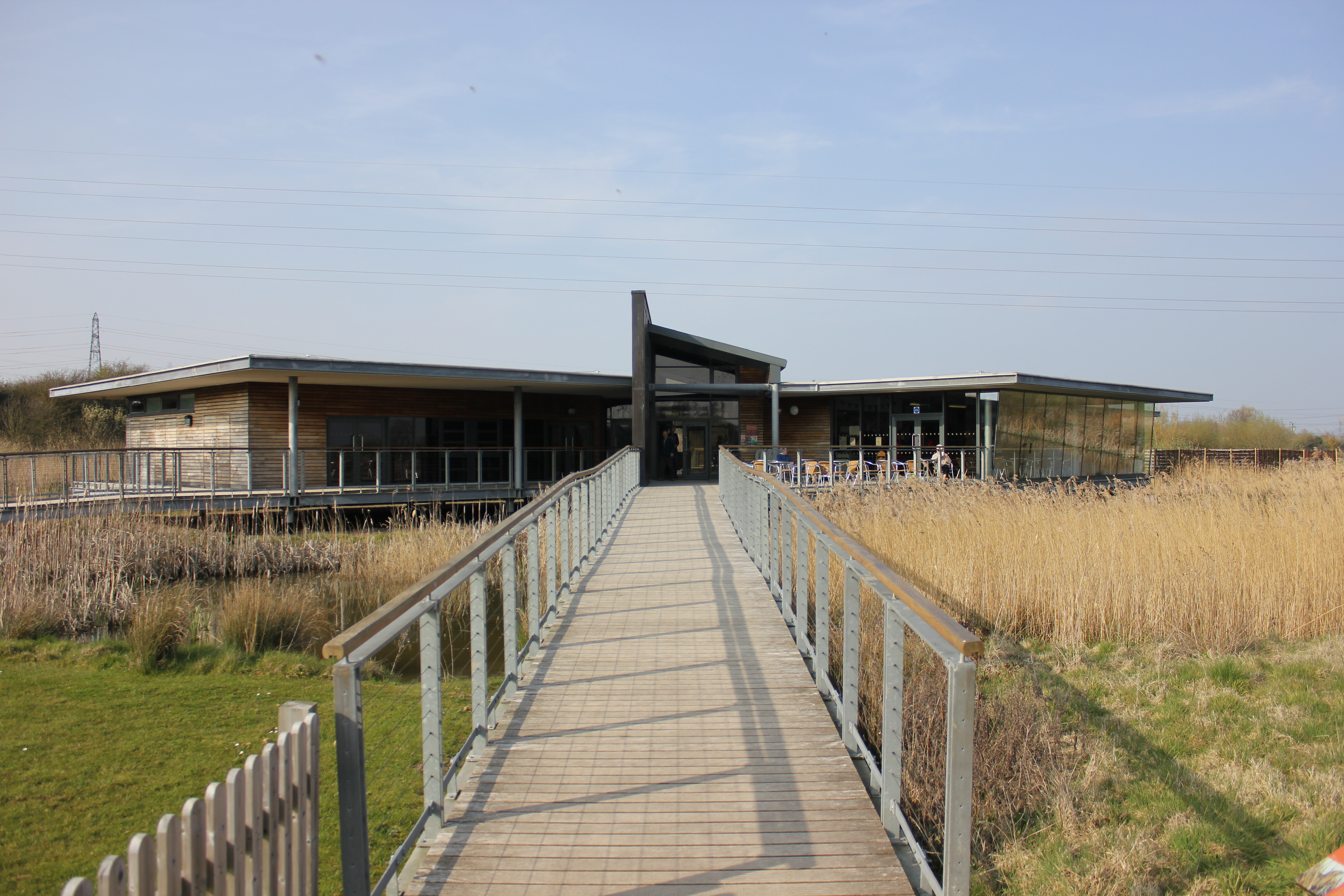
Newport Wetlands

Newport Wetlands is a wildlife reserve covering parts of Uskmouth, Nash and Goldcliff, in the south-east of the city of Newport, South Wales. == History... ==

Related Videos

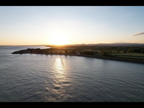
Drone DJI Air 2S | First flight

dronedji #droneflight This is just my first drone flying practice footage of DJI Air 2S which I recently bought for my outdoor and ...

Say My Name - (Cyril Hahn Remix) music video

You. .. . . .. This track is not new, but music has no expiration date, right? :) • Download "Say My Name (Cyril Hahn Remix)" ...

Real metal detecting group dig

Real metal detecting group dig with the valleys searchers at goldcliff on the gwent levels using the nokta legend nokta pinpointer ...

Nearby Amenities

Located within 500m of 51.541958,-2.9136023
Goldcliff
Is In City: Newport
Is In Historic County: Monmouthshire
Name Cy: Allteuryn
Name En: Goldcliff
Place: village
Source: npe
Lat/Long: 51.5433853/-2.9151268
Parking
Lat/Long: 51.5411472/-2.9104634
Leisure: bird_hide
Lat/Long: 51.5399681/-2.9104009
Leisure: bird_hide
Lat/Long: 51.538572/-2.9097919
Direction: 170
Generator Method: photovoltaic
Generator Output Electricity: yes
Generator Solar Modules: 13
Generator Source: solar
Generator Type: solar_photovoltaic_panel
Location: roof
Power: generator
Lat/Long: 51.5428388/-2.9157436
Direction: 265
Generator Method: photovoltaic
Generator Output Electricity: yes
Generator Solar Modules: 14
Generator Source: solar
Generator Type: solar_photovoltaic_panel
Location: roof
Power: generator
Lat/Long: 51.5428638/-2.9173932
Pub
The Farmers Arms
Addr City: Goldcliff
Addr Postcode: NP18 2AU
Addr Street: Goldcliff Road
Email: craigleith629@gmail.com
Opening Hours: Mo Off; Tu-Th 12:00-22:30; Fr-Sa 12:00-23:00; Su 12:00-21:00
Phone: +44 1633 495 295
Website: http://www.thefarmersarms-goldcliff.foodanddrinksites.co.uk/
Lat/Long: 51.5430775/-2.9163978
The data included in this document is from www.openstreetmap.org. The data is made available under ODbL.

Have you been to Chapel Pill?

Leave your review of Chapel Pill below (or comments, questions and feedback).