Ackergill Haven
Sea, Estuary, Creek in Caithness
Scotland
Ackergill Haven
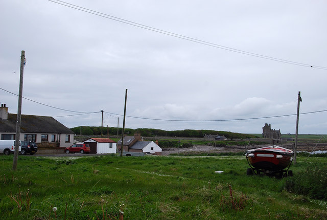
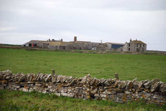
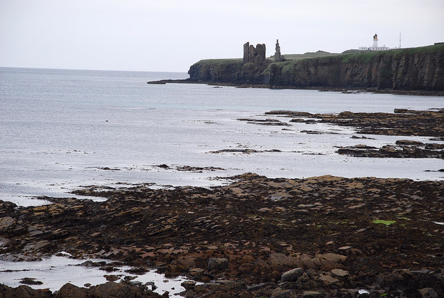
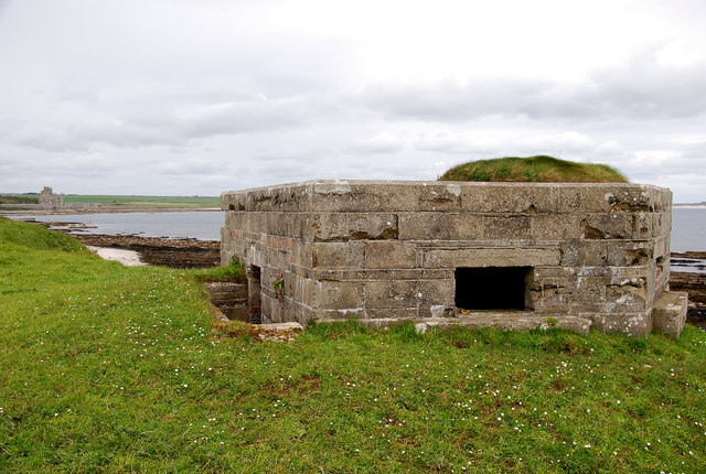
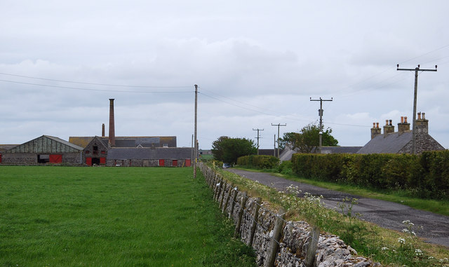
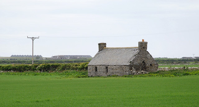
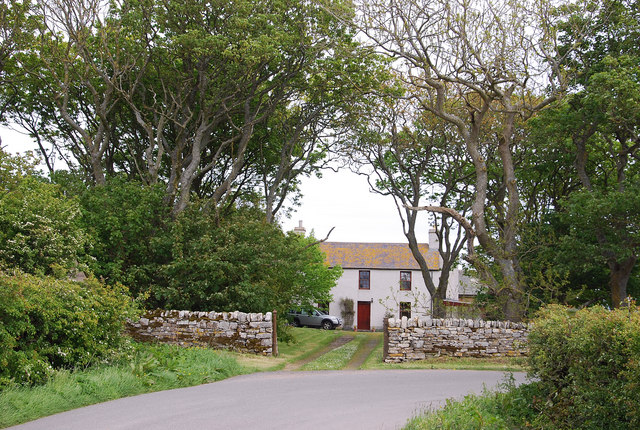
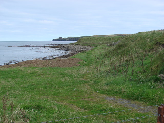
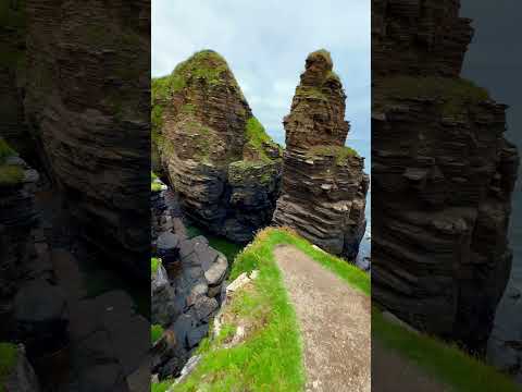
Ackergill Haven is a picturesque coastal inlet located in the Caithness region of Scotland. Nestled along the rugged and dramatic North Sea coastline, it offers breathtaking views of the sea, estuary, and creek. The haven is situated approximately 2 miles northeast of the village of Ackergill, making it easily accessible for visitors.
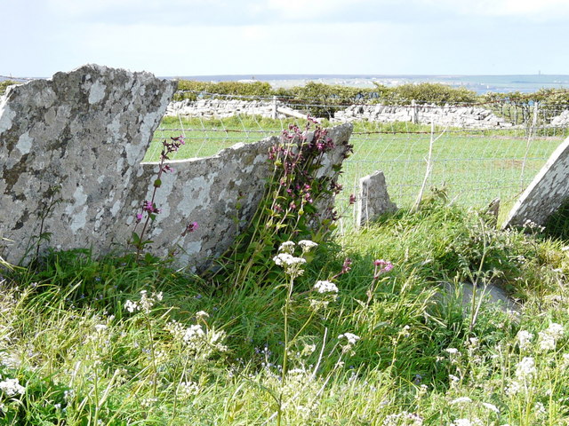
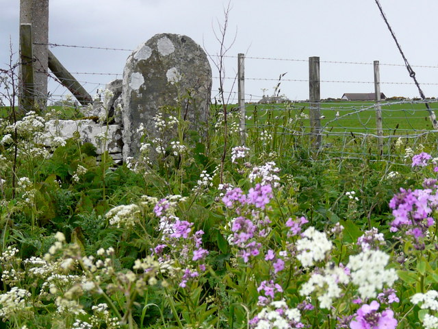
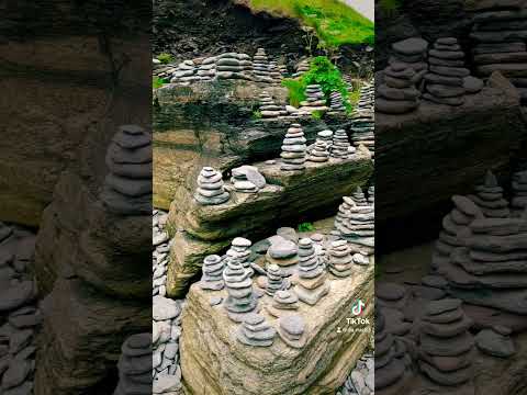
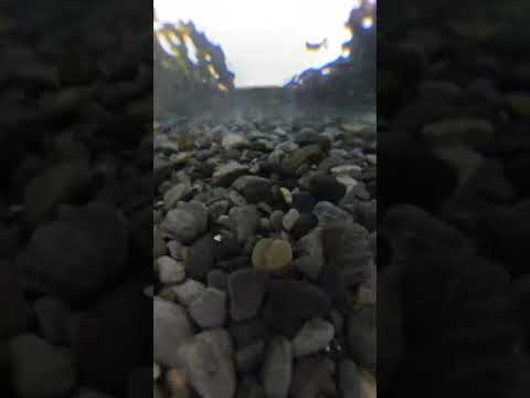
The main attraction of Ackergill Haven is its stunning natural beauty. The sea surrounding the haven is often tumultuous, with crashing waves and rocky cliffs, creating a dramatic backdrop for visitors. The estuary, formed by the meeting of the sea and a nearby river, provides a calm and serene environment, perfect for peaceful walks along the shore. The creek, a small stream that flows into the estuary, adds to the charm and tranquility of the area.
The haven is also home to a diverse array of wildlife, making it a popular spot for nature enthusiasts. Seabirds, such as gannets and puffins, can often be spotted soaring above the cliffs or diving into the sea to catch fish. Grey seals can frequently be seen basking on the rocks, while otters occasionally make an appearance in the creek.
For those seeking outdoor activities, Ackergill Haven offers opportunities for fishing, kayaking, and hiking. The surrounding coastal paths provide stunning views and are a great way to explore the area.
In summary, Ackergill Haven is a beautiful coastal haven in Caithness, Scotland, offering a mix of rugged sea cliffs, calm estuaries, and peaceful creeks. Its natural beauty, diverse wildlife, and recreational activities make it a must-visit destination for nature lovers and outdoor enthusiasts.
If you have any feedback on the listing, please let us know in the comments section below.
Ackergill Haven Images
Images are sourced within 2km of 58.474704/-3.1017662 or Grid Reference ND3554. Thanks to Geograph Open Source API. All images are credited.


Ackergill Haven is located at Grid Ref: ND3554 (Lat: 58.474704, Lng: -3.1017662)
Unitary Authority: Highland
Police Authority: Highlands and Islands
What 3 Words
///tolls.surpasses.roosts. Near Wick, Highland
Nearby Locations
Related Wikis
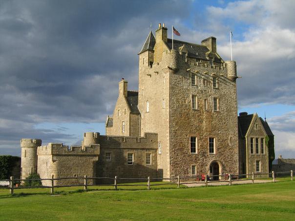
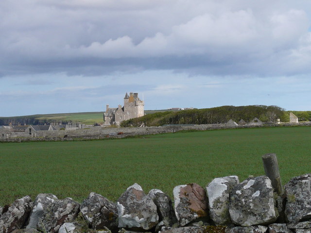
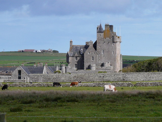
Ackergill Tower
Ackergill Tower (or Ackergill Castle) is located on the coast of Sinclair's Bay, about 4 km north of Wick, Caithness, in northern Scotland. It was built...
Battle of Champions
The Battle of Champions was a trial by combat fought in 1478 or 1464 between two Scottish clans, Clan Gunn and Clan Keith. It took place at the chapel...
Ackergill
Ackergill is a settlement in the Wick, Caithness, in the Highland Council area of Scotland. == History == In Ackergill is a famous tower/castle named Ackergill...

Wick Golf Club
Wick Golf Club was established in 1870, making it the oldest established golf club in the Highlands of Scotland. Located in Caithness, 3 miles north of...
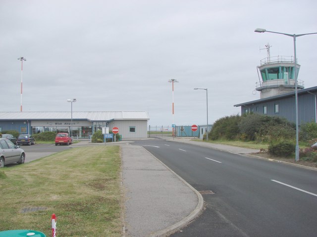
Wick Airport
Wick John O' Groats Airport (IATA: WIC, ICAO: EGPC) (Scottish Gaelic: Port-adhair Inbhir Ùige Taigh Iain Ghròt) is located one nautical mile (two kilometres...
Reiss, Scotland
Reiss is a village in the former county of Caithness, now in the Highland council area of northern Scotland. It is well known in the Caithness area for...

Castle Sinclair Girnigoe
Castle Sinclair Girnigoe is located about 3 miles north of Wick on the east coast of Caithness, Scotland. It is considered to be one of the earliest seats...
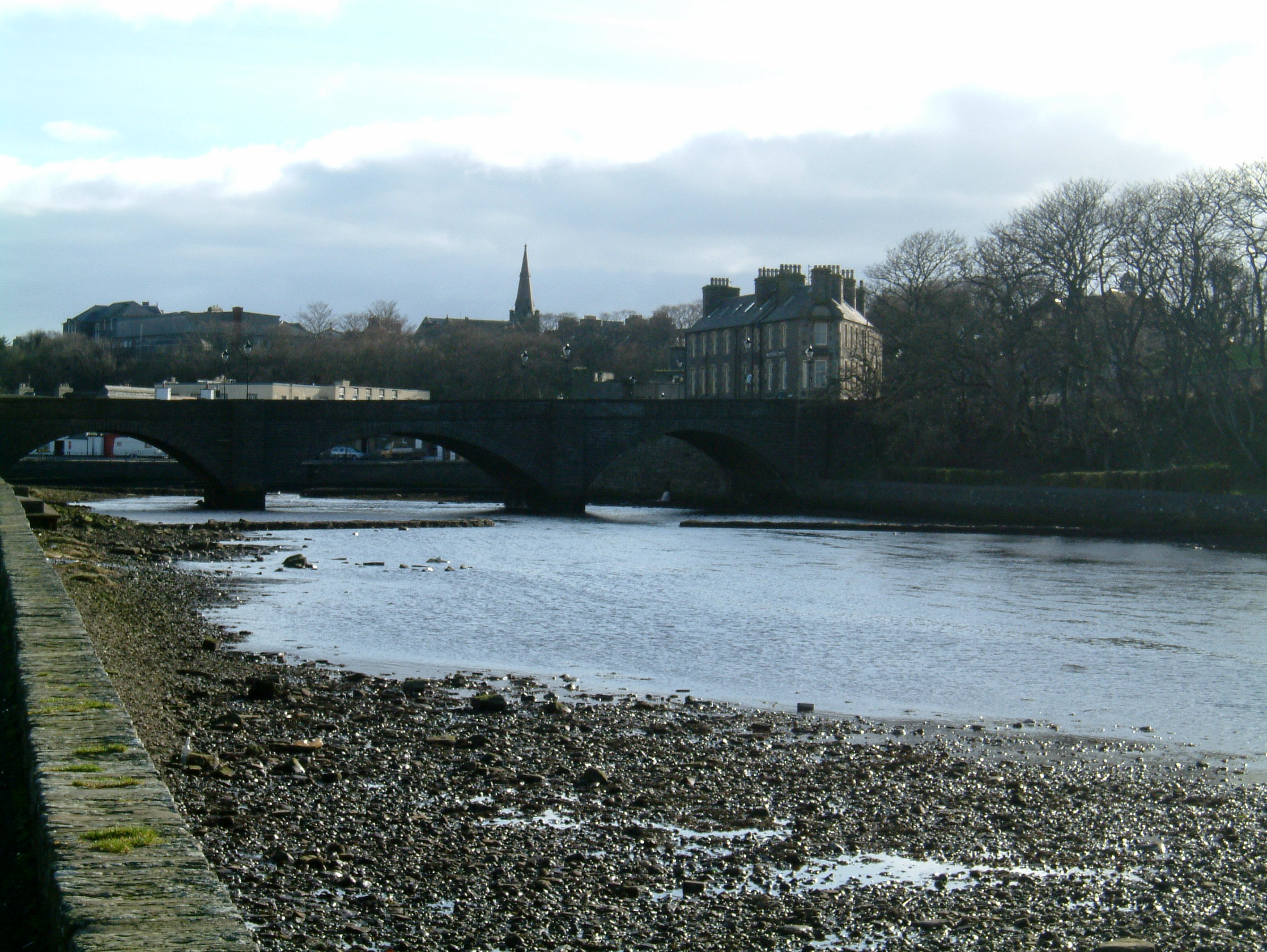
Wick, Caithness
Wick (Scottish Gaelic: Inbhir Ùige [ˈinivɪɾʲˈuːkʲə]; Scots: Week) is a town and royal burgh in Caithness, in the far north of Scotland. The town straddles...
Related Videos
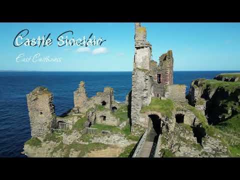
Sinclair Castle - East Caithness - Scotland | 4K | DJI Mini 3 Pro
Castle Sinclair Girnigoe is a popular attractions on NC500 route. For me it is actually one of the coolest. Perched on the top of the ...
Nearby Amenities
Located within 500m of 58.474704,-3.1017662Have you been to Ackergill Haven?
Leave your review of Ackergill Haven below (or comments, questions and feedback).