Old River Brue
Sea, Estuary, Creek in Somerset Sedgemoor
England
Old River Brue
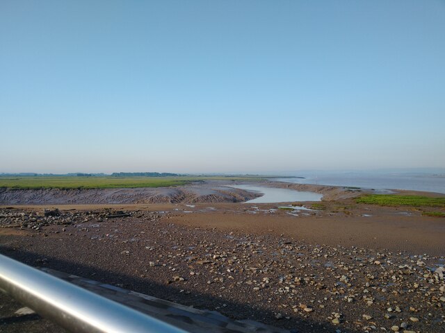
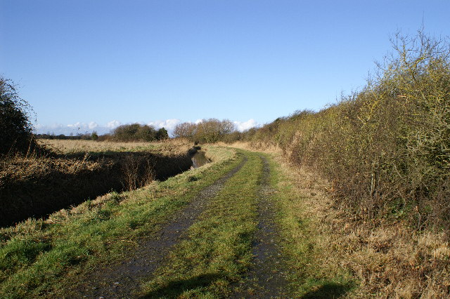
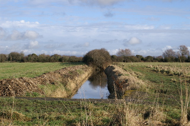
Old River Brue is a tidal river located in Somerset, England. It is an estuary that flows into the Bristol Channel and is approximately 33 kilometers long. The river starts its journey from the Mendip Hills and meanders through the Somerset Levels before reaching the sea.
The river is characterized by its diverse ecosystem, with salt marshes, reed beds, and mudflats providing a habitat for various species of plants and animals. The estuary is particularly important for birdlife, attracting a wide range of migratory and resident species.
Old River Brue is influenced by the tides, with the water level rising and falling due to the ebb and flow of the sea. The estuary experiences a mix of freshwater and saltwater, creating a unique environment that supports both marine and freshwater organisms.
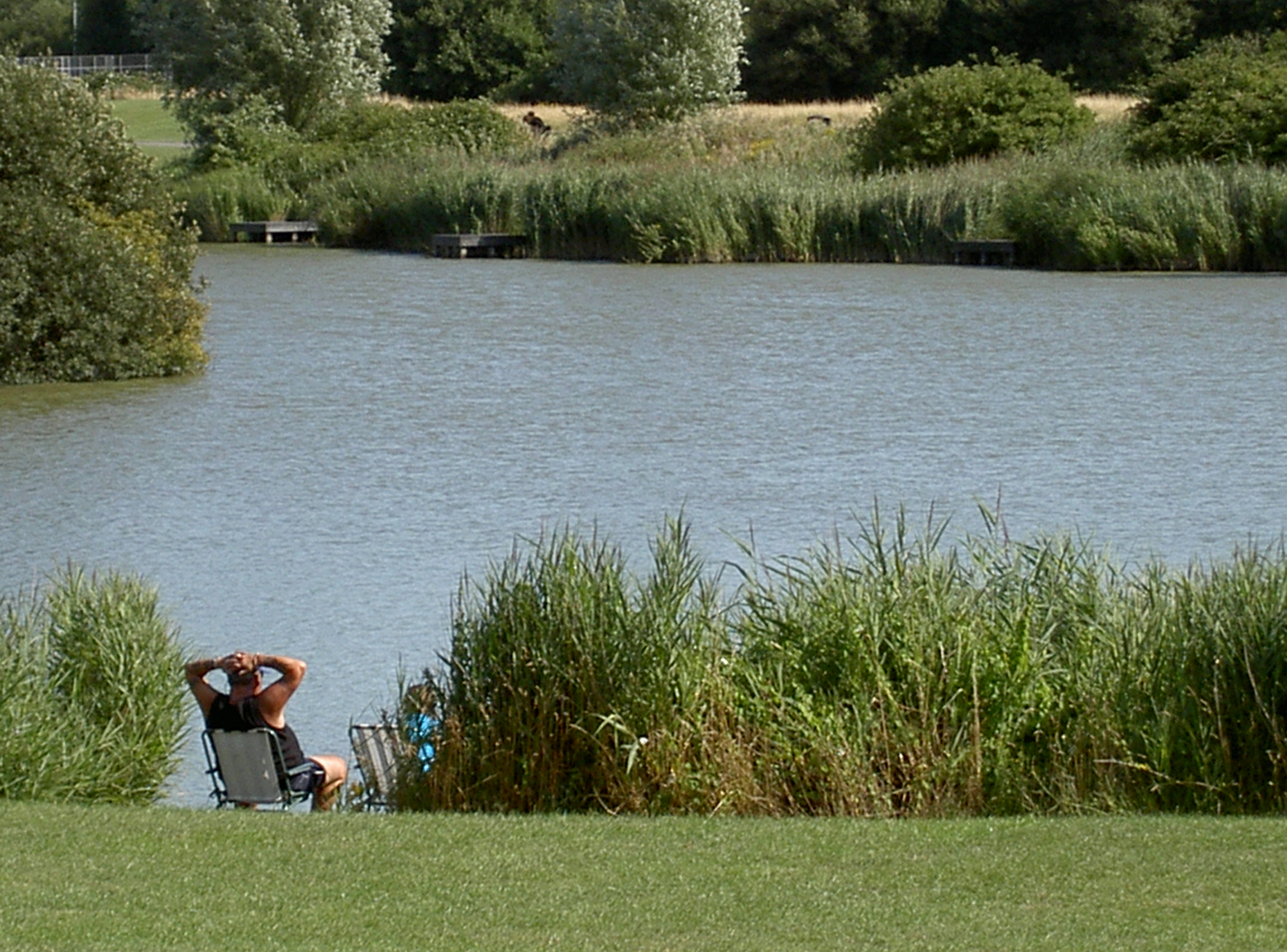
The river has historically been used for navigation and trade, with small boats and barges transporting goods along its length. However, due to silting and changes in the landscape over time, the river is no longer navigable. Today, it is primarily used for recreational activities such as boating, fishing, and birdwatching.
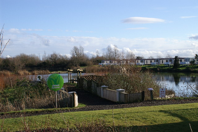
The surrounding landscape of the Old River Brue is picturesque, with panoramic views of the Somerset Levels and the distant hills. The river is also surrounded by quaint villages and towns, offering visitors a glimpse of rural life in Somerset.
Overall, Old River Brue is a significant estuary in Somerset, providing a vital habitat for wildlife and offering visitors a chance to explore the natural beauty of the area.
If you have any feedback on the listing, please let us know in the comments section below.
Old River Brue Images
Images are sourced within 2km of 51.221008/-2.9858312 or Grid Reference ST3147. Thanks to Geograph Open Source API. All images are credited.


Old River Brue is located at Grid Ref: ST3147 (Lat: 51.221008, Lng: -2.9858312)
Administrative County: Somerset
District: Sedgemoor
Police Authority: Avon and Somerset
What 3 Words
///field.steepest.employer. Near Highbridge, Somerset
Nearby Locations
Related Wikis
Apex Leisure and Wildlife Park
Apex Leisure and Wildlife Park is an urban park and wildlife centre in Highbridge, Somerset, England. The park was created on the site of a former clay...
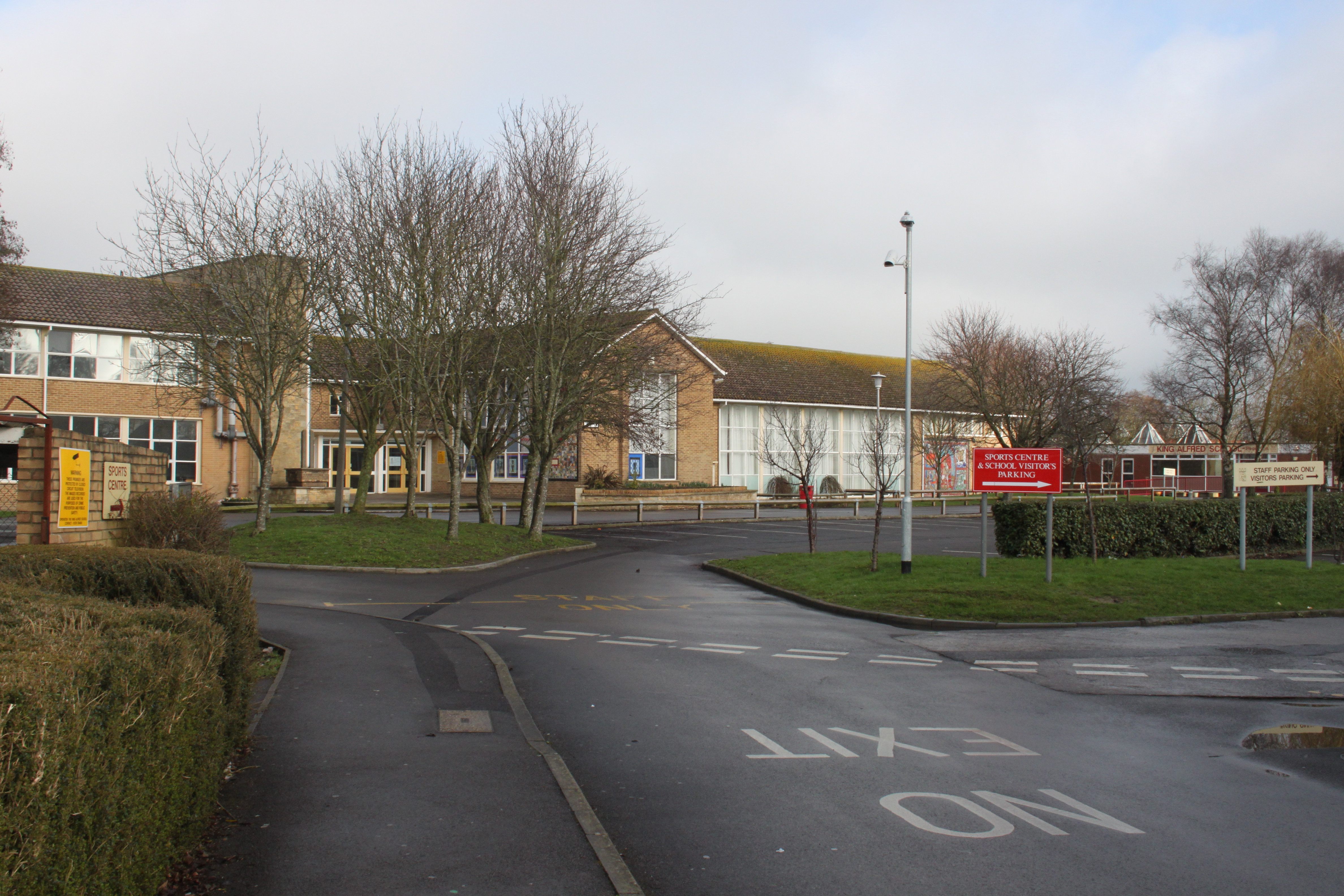
The King Alfred School, Highbridge
The King Alfred School is a coeducational secondary school and sixth form located in Highbridge, Somerset, England. It is an academy and part of The Priory...

Highbridge, Somerset
Highbridge is a market town on the edge of the Somerset Levels near the mouth of the River Brue. It is in the County of Somerset, and is about 20 miles...

Highbridge and Burnham railway station
Highbridge and Burnham railway station is situated on the Bristol to Taunton Line in the town of Highbridge, Somerset and also serves the neighbouring...

River Brue
The River Brue originates in the parish of Brewham in Somerset, England, and reaches the sea some 50 kilometres (31 mi) west at Burnham-on-Sea. It originally...
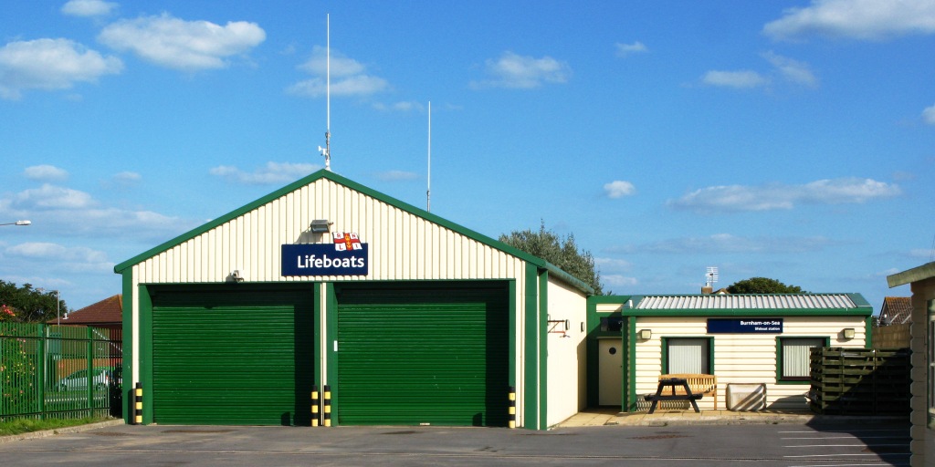
Burnham-on-Sea Lifeboat Station
Burnham-on-Sea Lifeboat Station is the base for Royal National Lifeboat Institution (RNLI) search and rescue operations at Burnham-on-Sea, Somerset in...
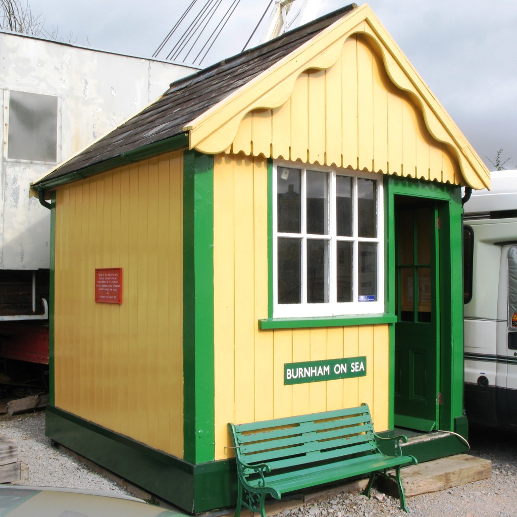
Burnham-on-Sea railway station
Burnham-on-Sea railway station was located within the town of Burnham-on-Sea, Somerset, and was the terminus of the Burnham branch of the Somerset and...
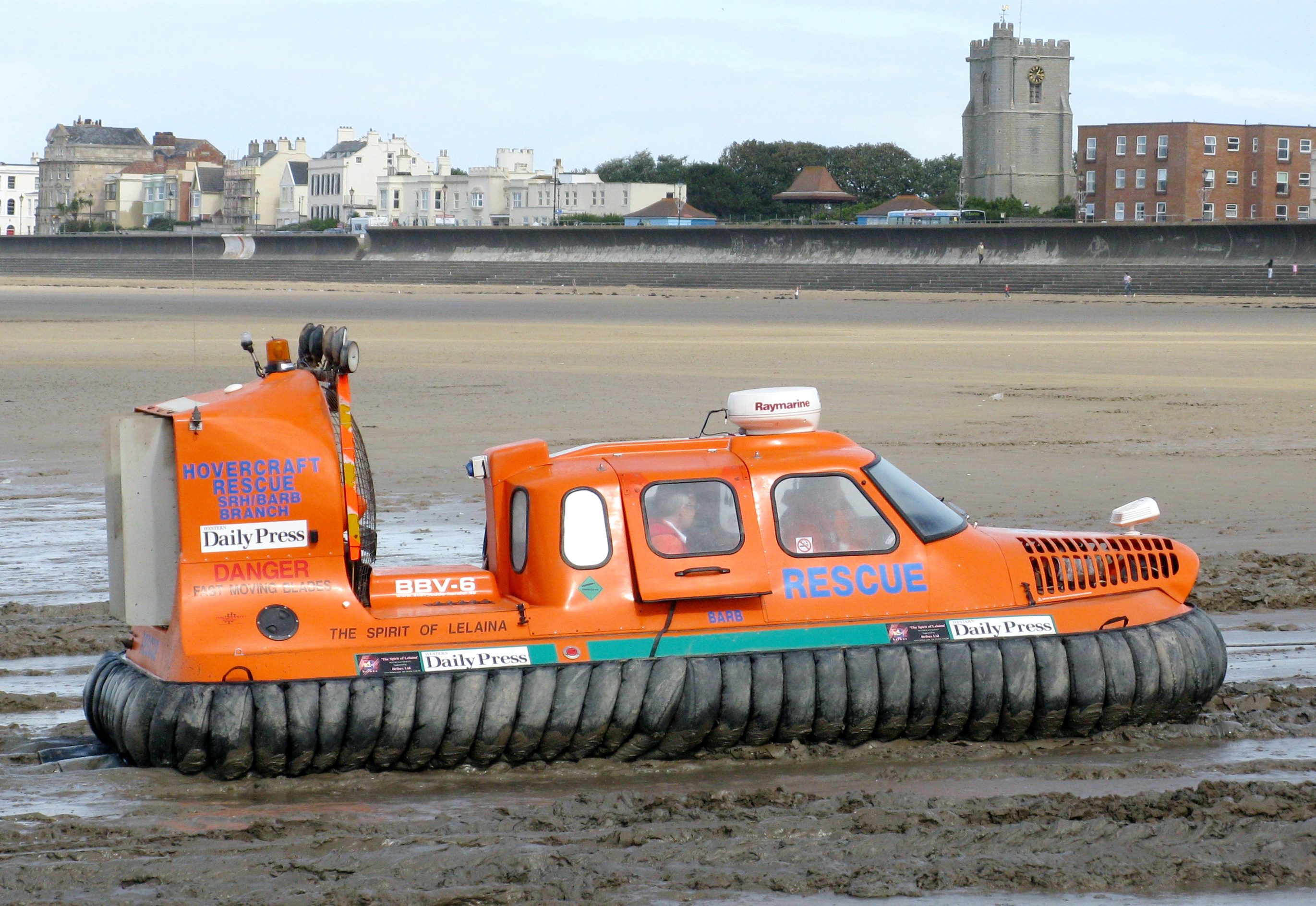
Burnham Area Rescue Boat
Burnham Area Rescue Boat (BARB), also known as BARB Search & Rescue, is a voluntary independent search and rescue service, formed in 1992 in Burnham-on...
Nearby Amenities
Located within 500m of 51.221008,-2.9858312Have you been to Old River Brue?
Leave your review of Old River Brue below (or comments, questions and feedback).