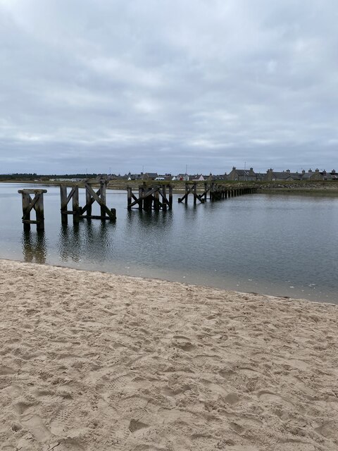
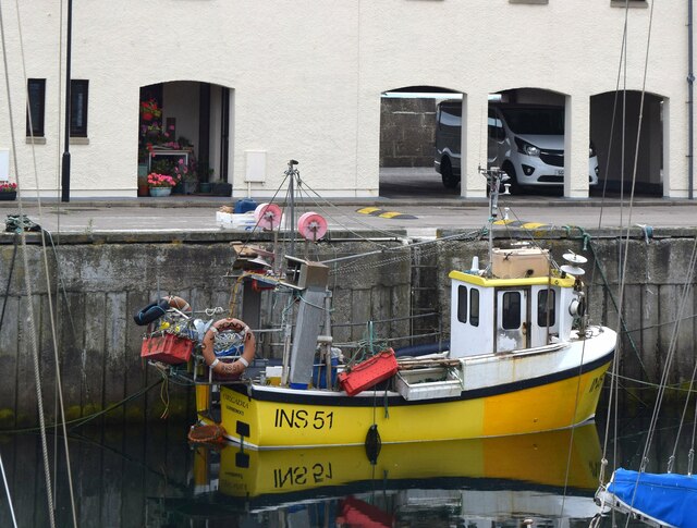
Old Harbour
Sea, Estuary, Creek in Morayshire
Scotland
Old Harbour

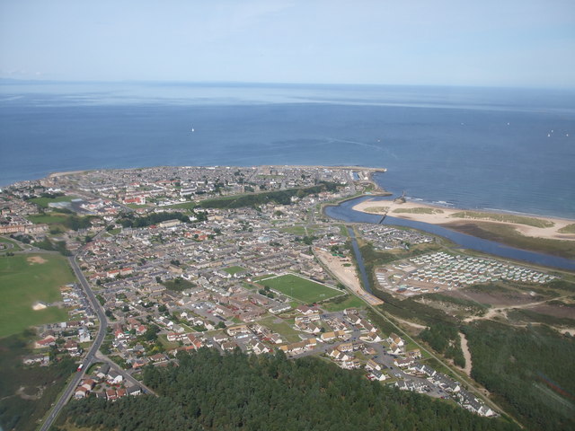
Old Harbour is a picturesque coastal town located in Morayshire, Scotland. Situated on the eastern coast, it offers breathtaking views of the North Sea, making it an idyllic destination for nature lovers and outdoor enthusiasts.
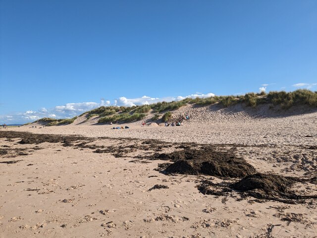
The town is nestled next to a serene estuary, where the river meets the sea. This estuary acts as a natural habitat for a wide range of marine life, including various species of fish and seabirds. The estuary's calm waters provide a perfect spot for fishing and sailing, attracting both locals and tourists alike.
Old Harbour is also blessed with a charming creek that flows through the town. This creek, lined with quaint cottages and charming cafes, adds to the town's rustic charm. The creek is a popular spot for leisurely walks, as well as picnics by the water's edge.
The town itself is steeped in history, with its origins dating back to the medieval period. Visitors can explore the remnants of the old harbour, which once served as a bustling trading hub. The town's rich history can also be experienced through its architecture, with several historic buildings and landmarks dotting the landscape.
Overall, Old Harbour in Morayshire offers a unique blend of natural beauty, historical significance, and a tranquil coastal atmosphere. Whether one seeks a relaxing day by the sea, a scenic walk along the estuary, or a glimpse into the town's past, Old Harbour has something to offer for everyone.
If you have any feedback on the listing, please let us know in the comments section below.
Old Harbour Images
Images are sourced within 2km of 57.719263/-3.2807664 or Grid Reference NJ2370. Thanks to Geograph Open Source API. All images are credited.


Old Harbour is located at Grid Ref: NJ2370 (Lat: 57.719263, Lng: -3.2807664)
Unitary Authority: Moray
Police Authority: North East
What 3 Words
///refreshed.resists.react. Near Lossiemouth, Moray
Nearby Locations
Related Wikis

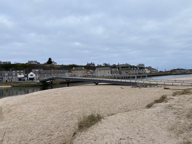
East Beach Bridge
The East Beach Bridge is a footbridge which crosses the River Lossie and connects Lossiemouth to the East Beach. The present bridge was opened in 2022...
Lossiemouth railway station
Lossiemouth railway station served the town of Lossiemouth, Moray, Scotland from 1852 to 1964 on the Morayshire Railway. == History == The station opened...

Lossiemouth Town Hall
Lossiemouth Town Hall is a municipal building in the High Street in Lossiemouth, Moray, Scotland. The building is currently used as a community events...
Lossiemouth
Lossiemouth (Scottish Gaelic: Inbhir Losaidh) is a town in Moray, Scotland. Originally the port belonging to Elgin, it became an important fishing town...
Nearby Amenities
Located within 500m of 57.719263,-3.2807664Have you been to Old Harbour?
Leave your review of Old Harbour below (or comments, questions and feedback).