Port Castle
Sea, Estuary, Creek in Caithness
Scotland
Port Castle
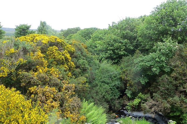
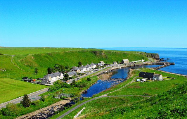
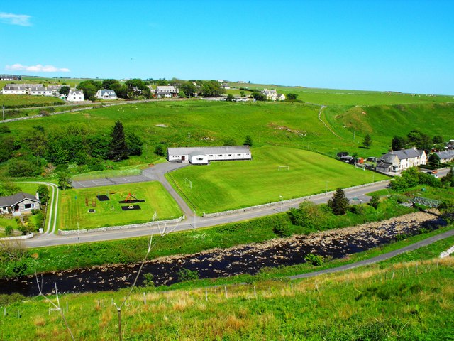
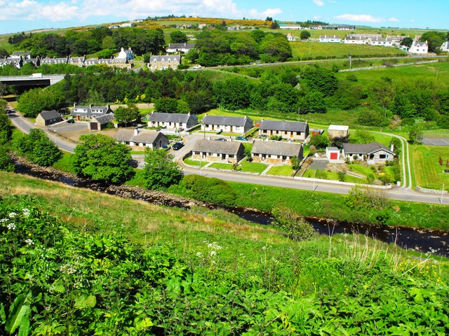
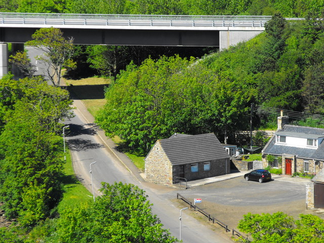
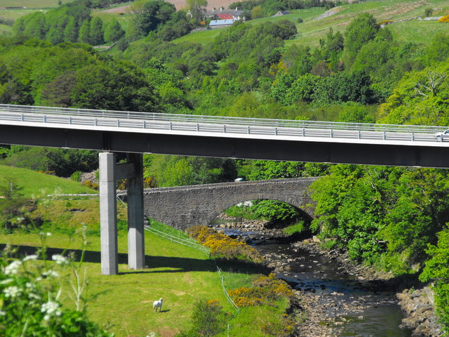
Port Castle is a picturesque coastal area located in the county of Caithness in northern Scotland. Situated along the North Sea, Port Castle is known for its stunning natural beauty and diverse marine ecosystem. The area encompasses an estuary and a creek, both of which add to its charm and appeal.
The estuary at Port Castle is formed by the confluence of a river and the sea. It is characterized by its wide and shallow water, which is affected by the ebb and flow of the tide. The estuary serves as a crucial habitat for various marine species, including fish, crustaceans, and seabirds. The surrounding marshes and sandbanks provide additional nesting grounds for a variety of bird species.
Adjacent to the estuary is a picturesque creek that winds its way through the coastal landscape. The creek is a haven for wildlife, offering a peaceful and serene environment for both flora and fauna. The sheltered nature of the creek makes it an ideal spot for kayaking, canoeing, and other water-based activities.
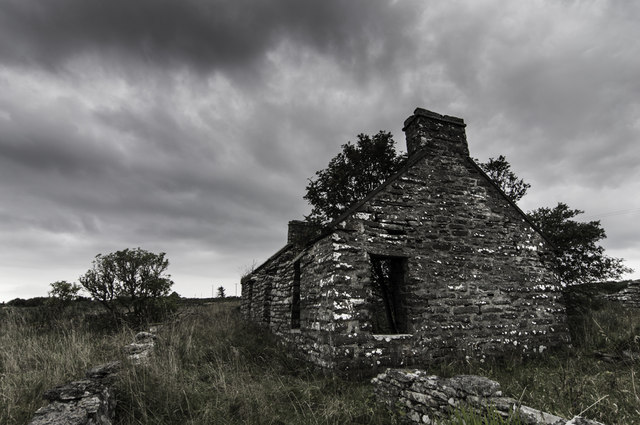
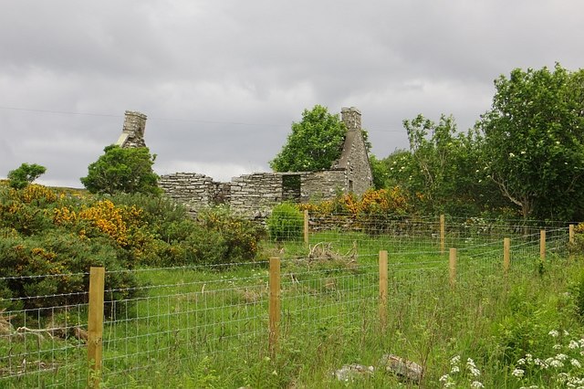
Port Castle itself is a small settlement that overlooks the estuary and creek. It is a popular destination for nature enthusiasts, offering breathtaking views of the coastline and opportunities for birdwatching, hiking, and coastal walks. The area is also rich in history, with the ruins of an ancient castle standing as a reminder of its past.
Overall, Port Castle in Caithness is a captivating coastal area that showcases the beauty of Scotland's natural landscape and offers a range of activities for visitors to enjoy.
If you have any feedback on the listing, please let us know in the comments section below.
Port Castle Images
Images are sourced within 2km of 58.236832/-3.4323584 or Grid Reference ND1528. Thanks to Geograph Open Source API. All images are credited.


Port Castle is located at Grid Ref: ND1528 (Lat: 58.236832, Lng: -3.4323584)
Unitary Authority: Highland
Police Authority: Highlands and Islands
What 3 Words
///landlords.jolt.launch. Near Dunbeath, Highland
Nearby Locations
Related Wikis

Dunbeath Castle
Dunbeath Castle is located on the east coast of Caithness, 2 kilometres (1.2 mi) south of Dunbeath, in northern Scotland. Although a castle has stood here...

Balnabruich
Balnabruich (from Scottish Gaelic Baile na Bruaich) is a small hamlet on the east coast of Scotland, close to Dunbeath, Caithness, Scottish Highlands...
Dunbeath Water
Dunbeath Water is a short river in Caithness in northern Scotland. It rises at Loch Braigh na h-Aibhne in the Flow Country and initially flows northeast...

Dunbeath
Dunbeath (Scottish Gaelic: Dùn Bheithe) is a village in south-east Caithness, Scotland on the A9 road. It sits astride the Dunbeath Water just before it...
Ramscraig
Ramscraig is a small scattered crofting hamlet, located 2 miles southwest from Dunbeath, in eastern Caithness, Scottish Highlands and is in the Scottish...

Dunbeath air crash
The Dunbeath air crash involved the loss of a Short S.25 Sunderland Mk. III that crashed in the Scottish Highlands on a headland known as Eagle's Rock...
Newport, Caithness
Newport is a small remote village on the eastern shore of Caithness, Scottish Highlands and is in the Scottish council area of Highland.Ramscraig lies...
Borgue, Highland
Borgue is a village in the historical county of Caithness, 3 miles (5 km) south of Dunbeath in the local authority are of Highland, Scotland.Rev Samuel...
Nearby Amenities
Located within 500m of 58.236832,-3.4323584Have you been to Port Castle?
Leave your review of Port Castle below (or comments, questions and feedback).