Mary's Pool
Sea, Estuary, Creek in Kirkcudbrightshire
Scotland
Mary's Pool
The requested URL returned error: 429 Too Many Requests
If you have any feedback on the listing, please let us know in the comments section below.
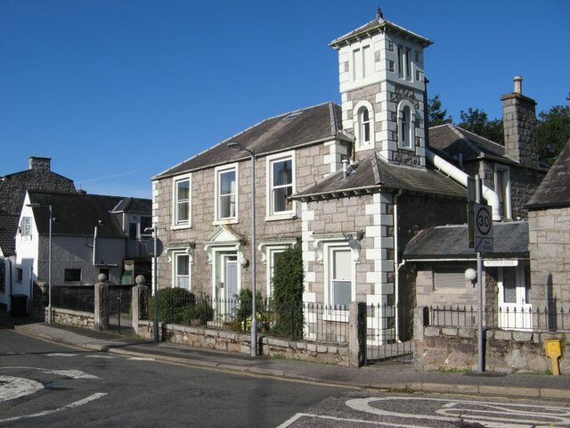
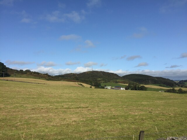
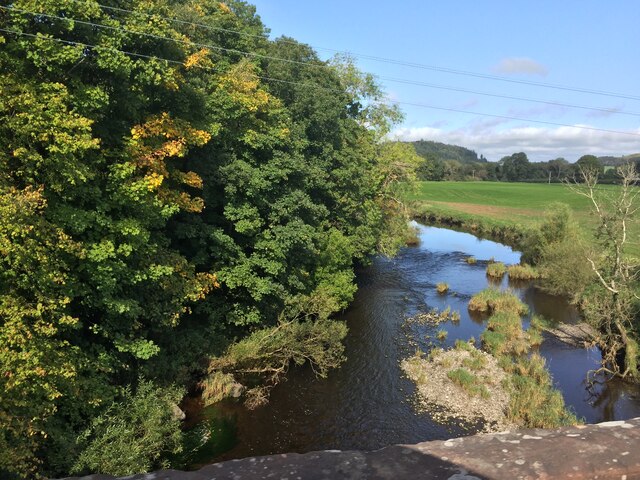
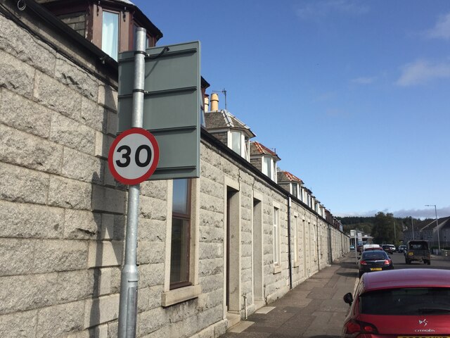
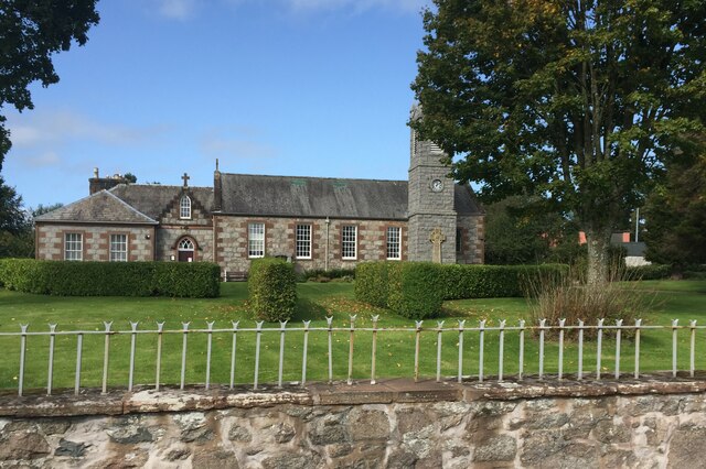
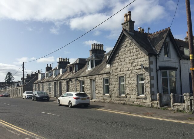
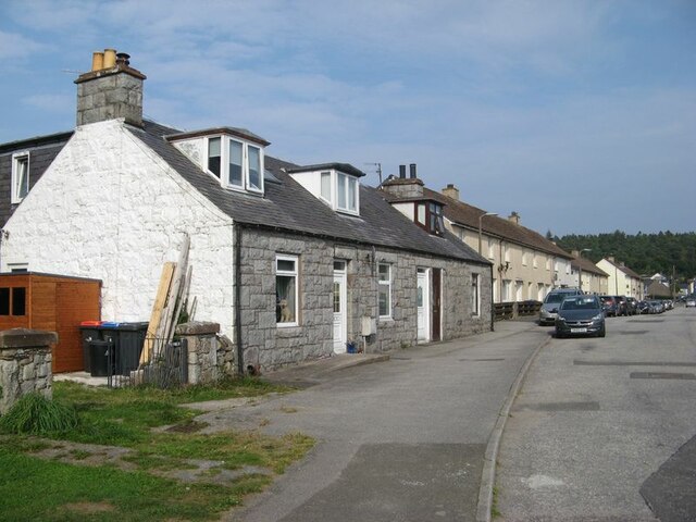
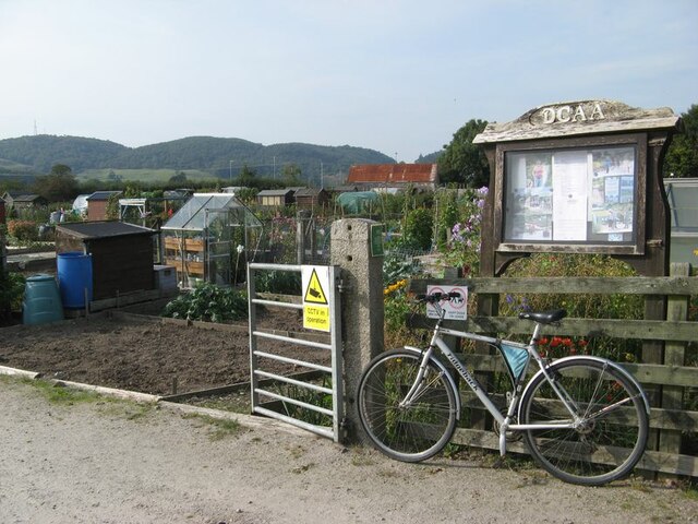
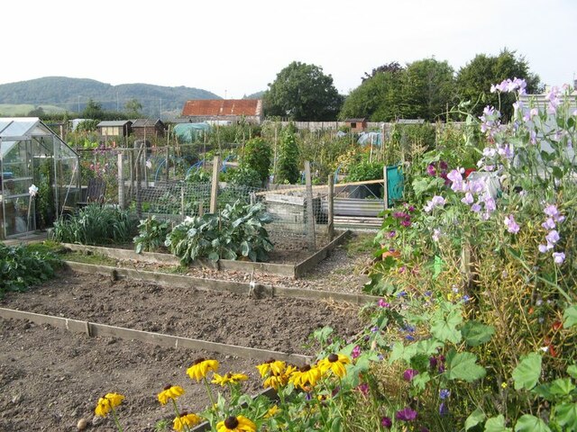
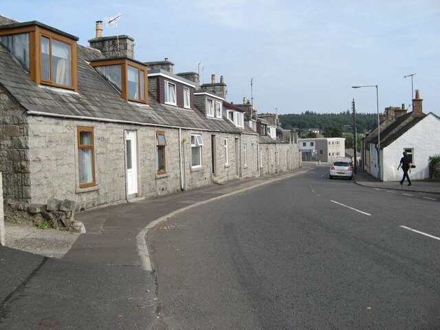
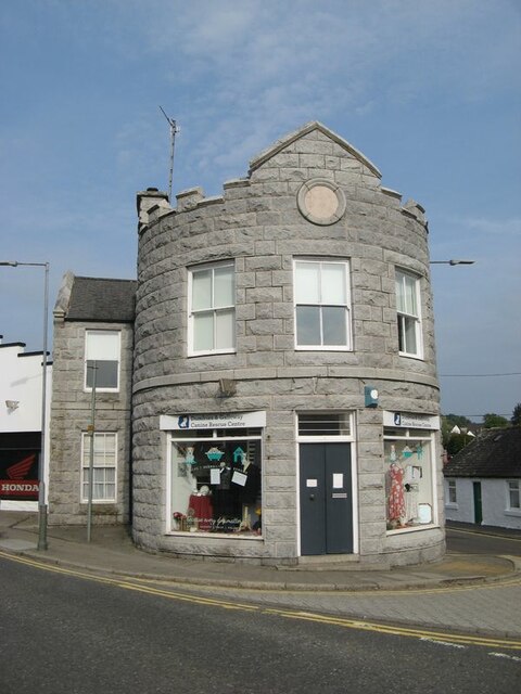
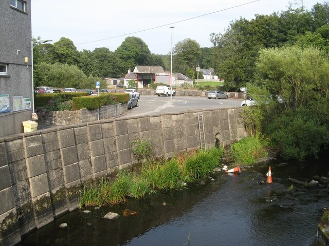
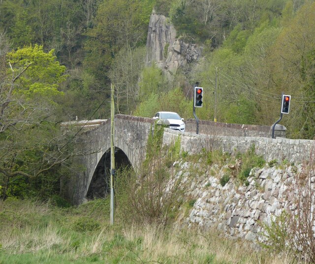
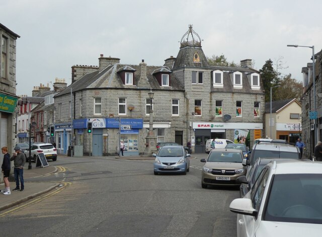
Mary's Pool Images
Images are sourced within 2km of 54.923809/-3.8327805 or Grid Reference NX8260. Thanks to Geograph Open Source API. All images are credited.

Mary's Pool is located at Grid Ref: NX8260 (Lat: 54.923809, Lng: -3.8327805)
Unitary Authority: Dumfries and Galloway
Police Authority: Dumfries and Galloway
What 3 Words
///guitars.cries.table. Near Dalbeattie, Dumfries & Galloway
Nearby Locations
Related Wikis

Buittle Bridge
Buittle Bridge, also known as Craignair Bridge is a bridge over the Urr Water just outside Dalbeattie in Dumfries and Galloway, Scotland. Completed in...

Dalbeattie High School
Dalbeattie High School is a small rural secondary school on the edge of Dalbeattie in the historical county of Kirkcudbrightshire in the local council...

Dalbeattie
Dalbeattie (, Scots: Dawbeattie, Scottish Gaelic: Dail Bheithe meaning 'haugh of the birch' or Dail bhàite 'drowned (i.e. liable to flood) haugh') is a...
Dalbeattie Town Hall
Dalbeattie Town Hall is a municipal building in the High Street in Dalbeattie, Dumfries and Galloway, Scotland. The structure, which is used as community...
Nearby Amenities
Located within 500m of 54.923809,-3.8327805Have you been to Mary's Pool?
Leave your review of Mary's Pool below (or comments, questions and feedback).