The Canal
Sea, Estuary, Creek in Kirkcudbrightshire
Scotland
The Canal

The Canal, located in Kirkcudbrightshire, Scotland, is a stunning water body that encompasses a diverse range of natural features, including a sea, an estuary, and a creek. Stretching along the coastline for several kilometers, the Canal offers a picturesque setting that attracts visitors from near and far.
The sea portion of the Canal is characterized by its vastness and powerful waves, making it an ideal spot for water sports enthusiasts, such as surfers and sailors. Its crystal-clear waters provide a refreshing and invigorating experience for those seeking a dip or a leisurely swim. The sea also offers breathtaking views, especially during sunrise and sunset, when the sky reflects vivid colors on the water's surface.
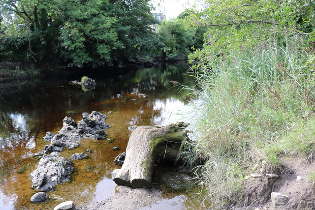
Moving inland, the Canal transforms into an estuary, where the sea meets a river mouth. This transitional zone is a haven for wildlife, as it provides an abundance of food and shelter. Birdwatchers will be delighted by the diverse range of avian species that inhabit this area, including herons, kingfishers, and various migratory birds. Additionally, the estuary's marshy banks serve as a breeding ground for numerous fish species, attracting anglers to its shores.
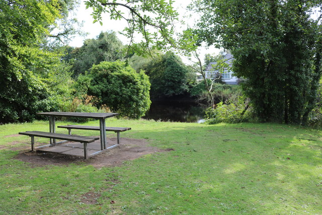
Further along the Canal, it narrows into a picturesque creek. The creek is characterized by its calm and peaceful waters, making it a popular spot for boating and kayaking. With its lush green banks and overhanging trees, the creek offers a serene and idyllic setting, perfect for a tranquil stroll or a picnic by the water's edge.
In summary, The Canal in Kirkcudbrightshire is a remarkable natural attraction that offers a variety of landscapes, ranging from the powerful sea to the tranquil creek. Its diverse ecosystem and stunning scenery make it a must-visit destination for nature lovers and outdoor enthusiasts alike.
If you have any feedback on the listing, please let us know in the comments section below.
The Canal Images
Images are sourced within 2km of 54.871482/-4.1972145 or Grid Reference NX5955. Thanks to Geograph Open Source API. All images are credited.


The Canal is located at Grid Ref: NX5955 (Lat: 54.871482, Lng: -4.1972145)
Unitary Authority: Dumfries and Galloway
Police Authority: Dumfries and Galloway
What 3 Words
///signed.risks.interval. Near Kirkcudbright, Dumfries & Galloway
Nearby Locations
Related Wikis

Cardoness Castle
Cardoness Castle is a well-preserved 15th-century tower house just south west of Gatehouse of Fleet, in the historical county of Kirkcudbrightshire in...
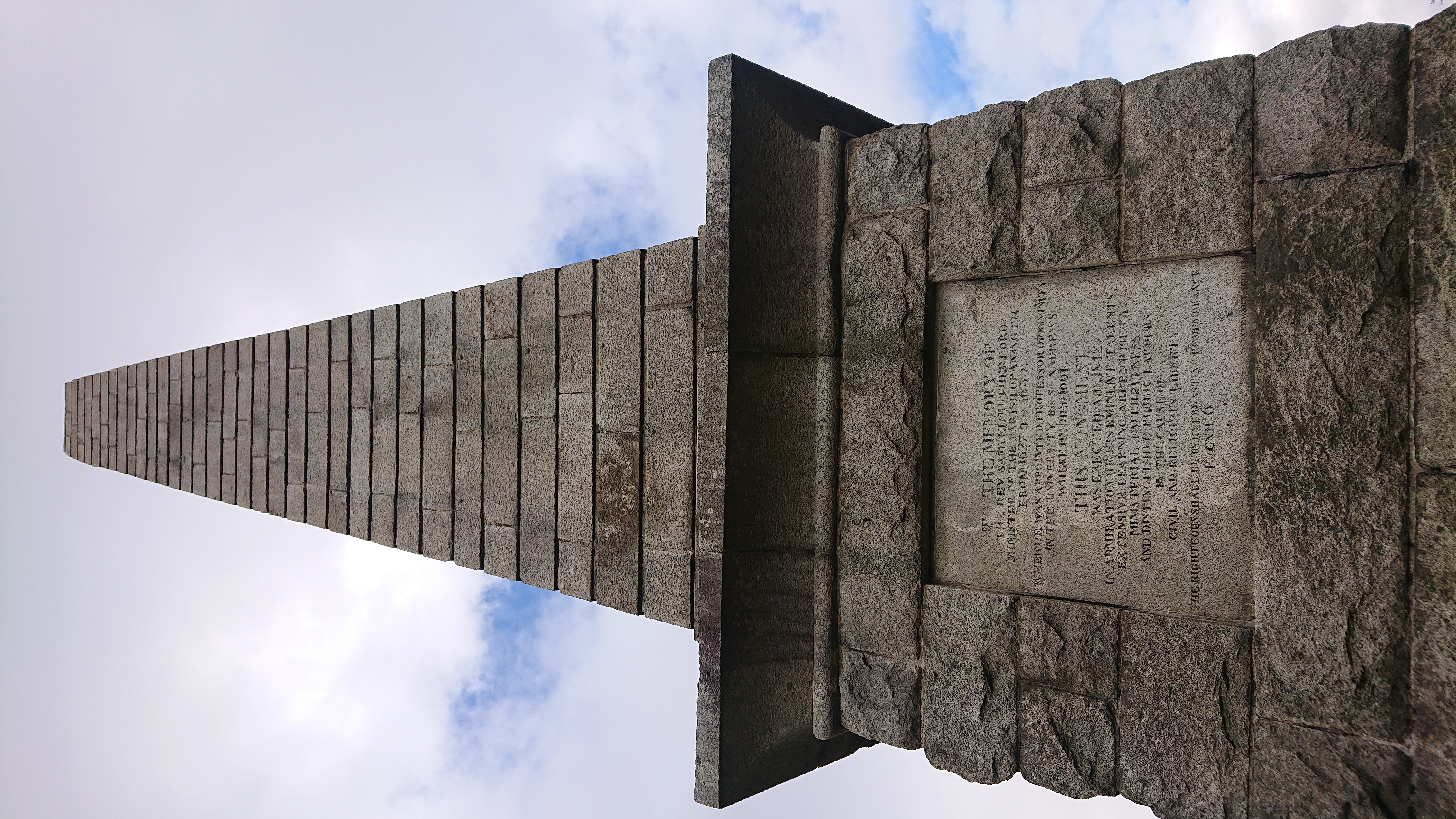
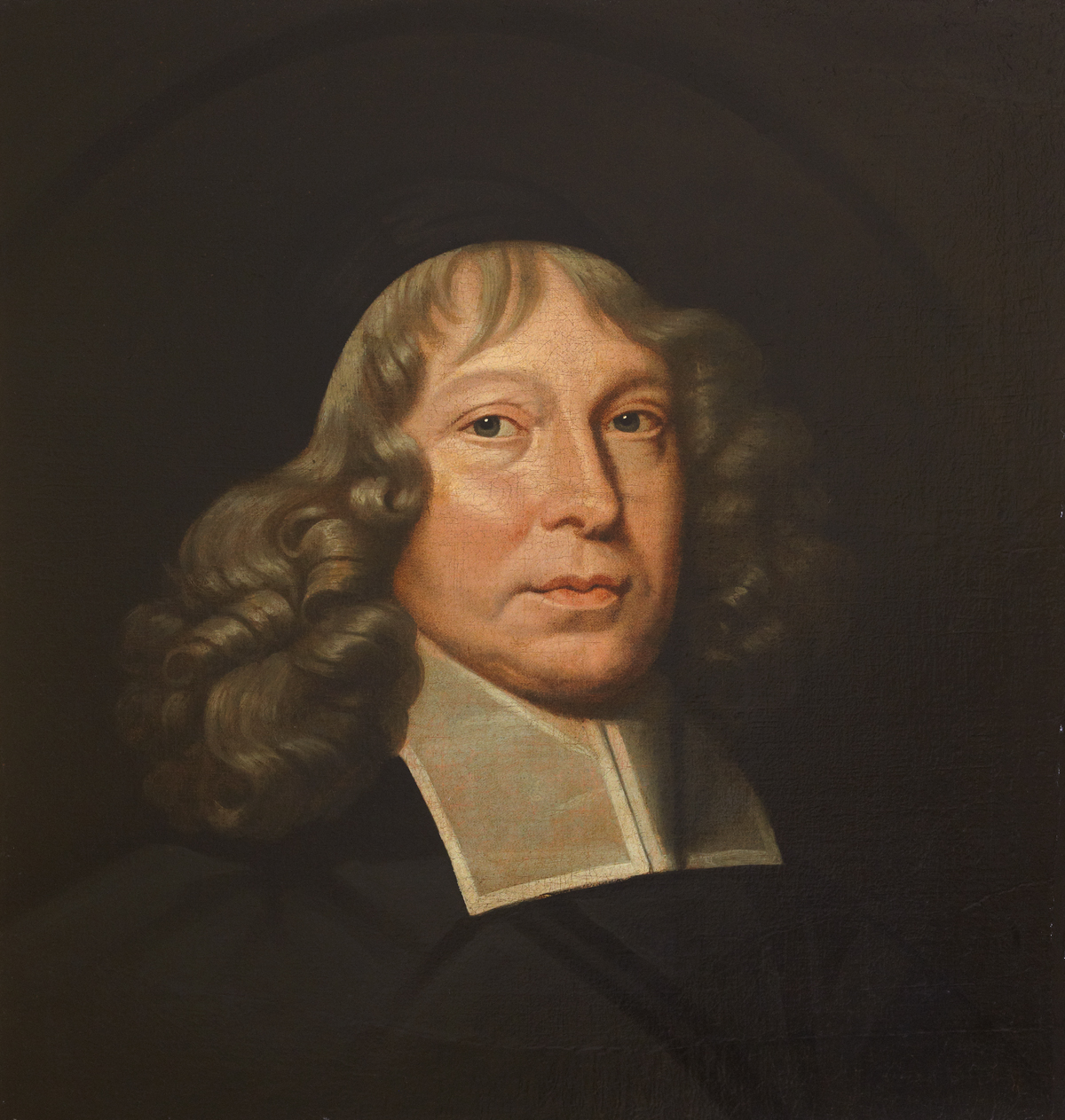
Rutherford's Monument
Rutherford's Monument is a commemorative monument between Anwoth and Gatehouse of Fleet in Dumfries and Galloway, Scotland. It is dedicated to the 17th...

Trusty's Hill
Trusty's Hill is a small vitrified hillfort about a mile to the west of the present-day town of Gatehouse of Fleet, in the parish of Anwoth in the Stewartry...

Cally Palace
Cally Palace, formerly known as Cally House, is an 18th-century country house in the historical county of Kirkcudbrightshire in Dumfries and Galloway...

Ardwall House
Ardwall House is an eighteenth-century mansion near Gatehouse of Fleet in Dumfries and Galloway, Scotland. Built in 1762 for the McCullochs of Ardwall...

Anwoth Parish Church
Anwoth Parish Church was built in 1826 to serve the parish of Anwoth in Dumfries and Galloway, Scotland. Designed by Walter Newall, it replaced Anwoth...
Anwoth
Anwoth is a settlement near the Solway Firth in the historic county of Kirkcudbrightshire, southwest Scotland, within a parish of the same name in the...
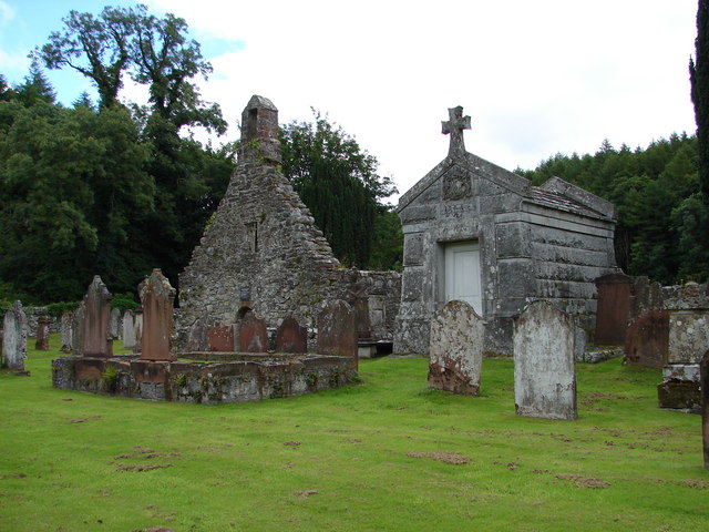
Anwoth Old Church
Anwoth Old Church is a ruined church building which was built in 1626 to serve the parish of Anwoth in Dumfries and Galloway, Scotland. It is roofless...
Nearby Amenities
Located within 500m of 54.871482,-4.1972145Have you been to The Canal?
Leave your review of The Canal below (or comments, questions and feedback).