Allt Beag
Sea, Estuary, Creek in Ross-shire
Scotland
Allt Beag
Allt Beag is a small water body located in Ross-shire, Scotland. It is primarily classified as a creek, but it also serves as a sea inlet and an estuary. The name "Allt Beag" is Gaelic for "small stream," which accurately reflects its size and character.
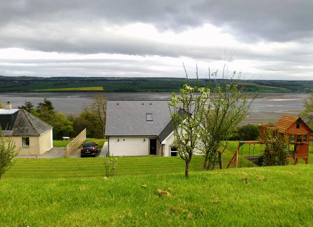
Situated along the coastline, Allt Beag offers stunning views of the surrounding landscape. The area is known for its rugged beauty, with rocky shores and cliffs that provide a dramatic backdrop to the creek. The water itself is a mix of saltwater from the sea and freshwater from the nearby streams and rivers, creating a unique blend of habitats.
The creek is home to a diverse range of marine and bird life. During low tide, various species of wading birds can be seen foraging along the muddy banks, while seals and otters can occasionally be spotted swimming in the waters. The surrounding marshes and wetlands provide important breeding grounds for several species of waterfowl.
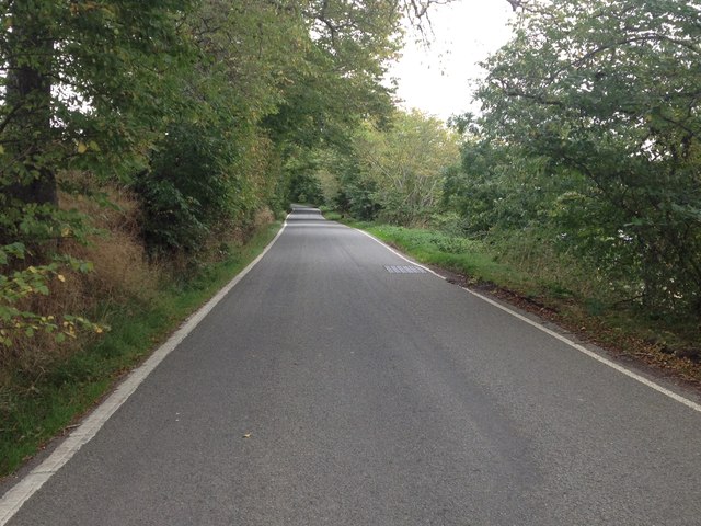
For outdoor enthusiasts, Allt Beag offers opportunities for coastal walks, birdwatching, and fishing. The area is also popular among kayakers and canoeists, who can explore the creek's meandering channels and enjoy its tranquil surroundings.
Allt Beag is a place of natural beauty and ecological importance, attracting both locals and tourists alike. Its diverse habitats and picturesque scenery make it a must-visit destination for nature lovers seeking a peaceful escape in Ross-shire.
If you have any feedback on the listing, please let us know in the comments section below.
Allt Beag Images
Images are sourced within 2km of 57.603685/-4.4143408 or Grid Reference NH5559. Thanks to Geograph Open Source API. All images are credited.


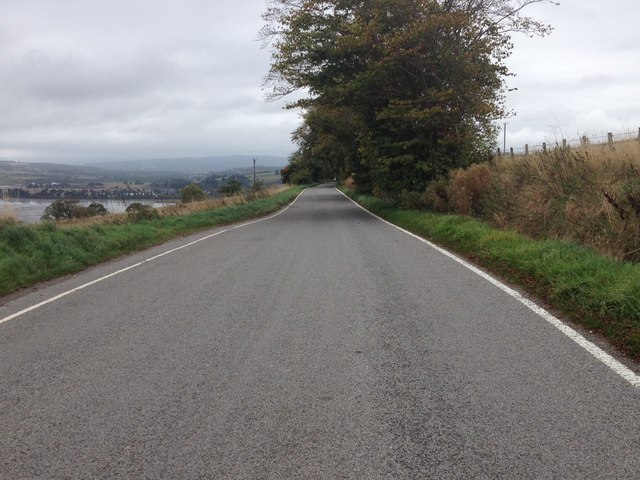
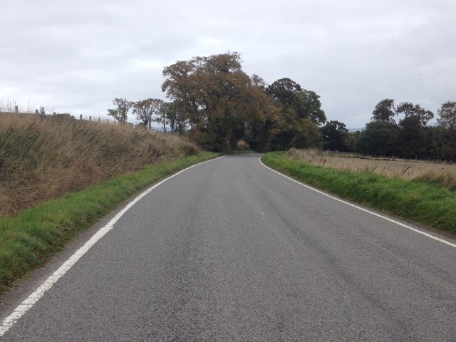


Allt Beag is located at Grid Ref: NH5559 (Lat: 57.603685, Lng: -4.4143408)
Unitary Authority: Highland
Police Authority: Highlands and Islands
What 3 Words
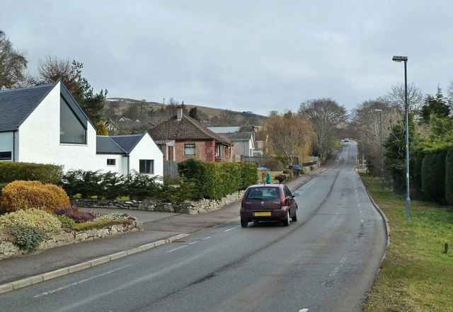
///wardrobe.shameless.disco. Near Dingwall, Highland
Nearby Locations
Related Wikis

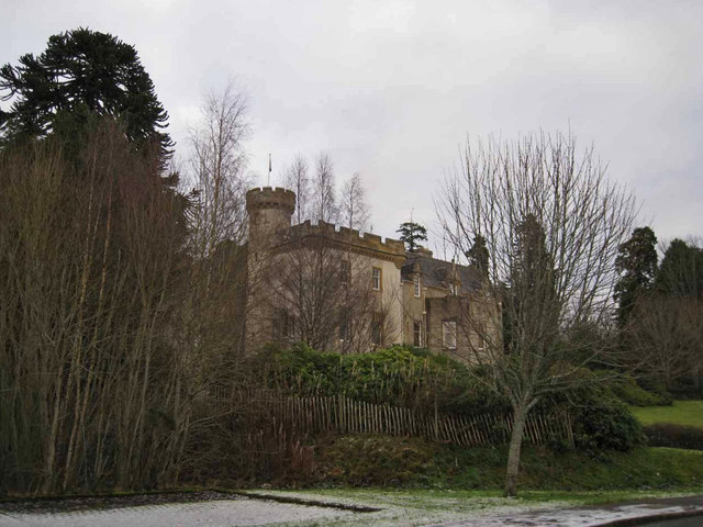
Dingwall Castle
Dingwall Castle was a medieval fort and royal castle in the town of Dingwall, eastern Ross-shire, Scotland. The castle is believed to have been established...
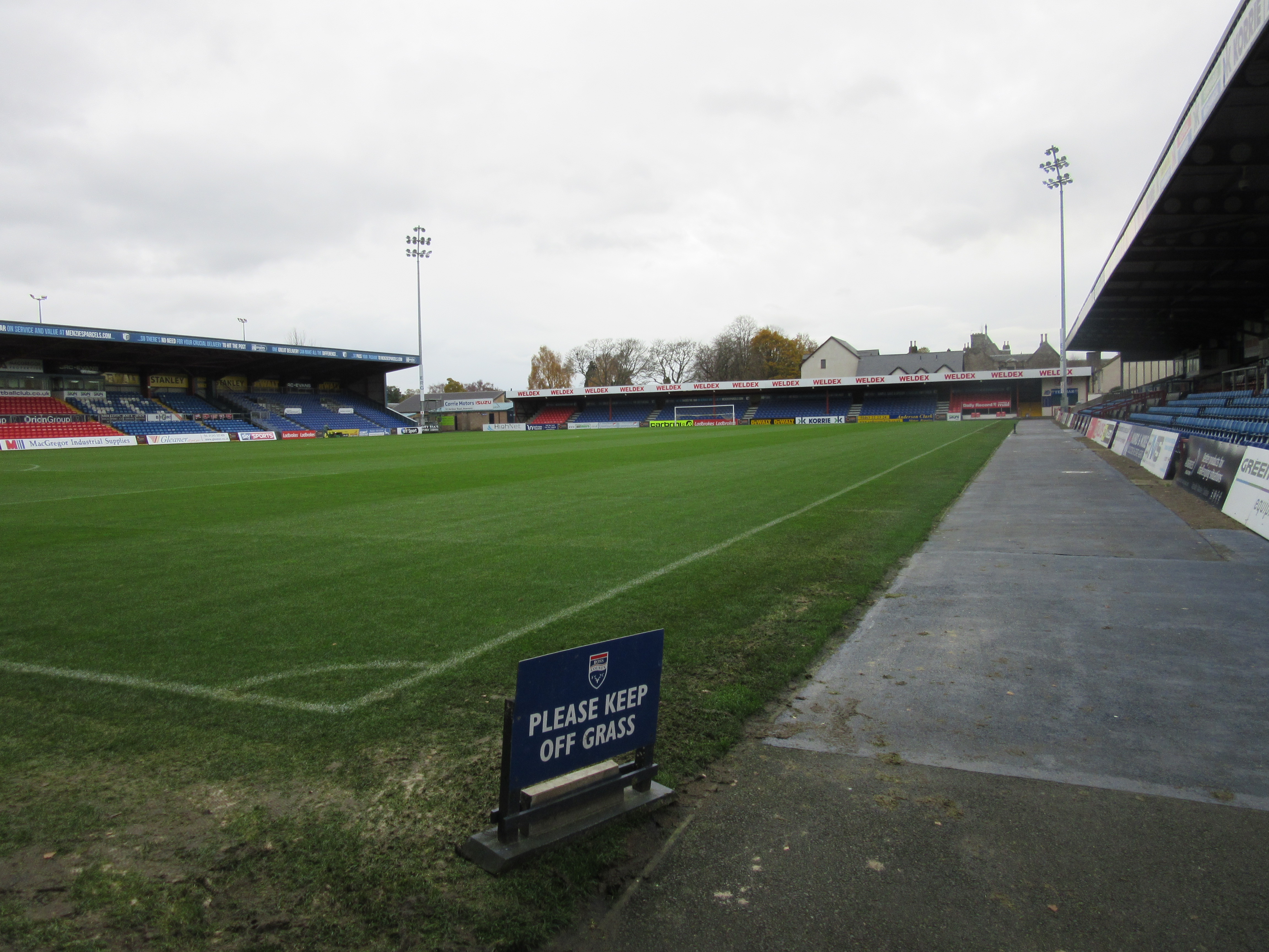
Victoria Park, Dingwall
Victoria Park, also known as the Global Energy Stadium for sponsorship reasons, is an all-seater football stadium in the town of Dingwall, Highland, Scotland...

St Lawrence's Church, Dingwall
St. Lawrence's Church, Dingwall is a Roman Catholic church in the town of Dingwall, Ross-shire, in Scotland and is a part of the RC Diocese of Aberdeen...
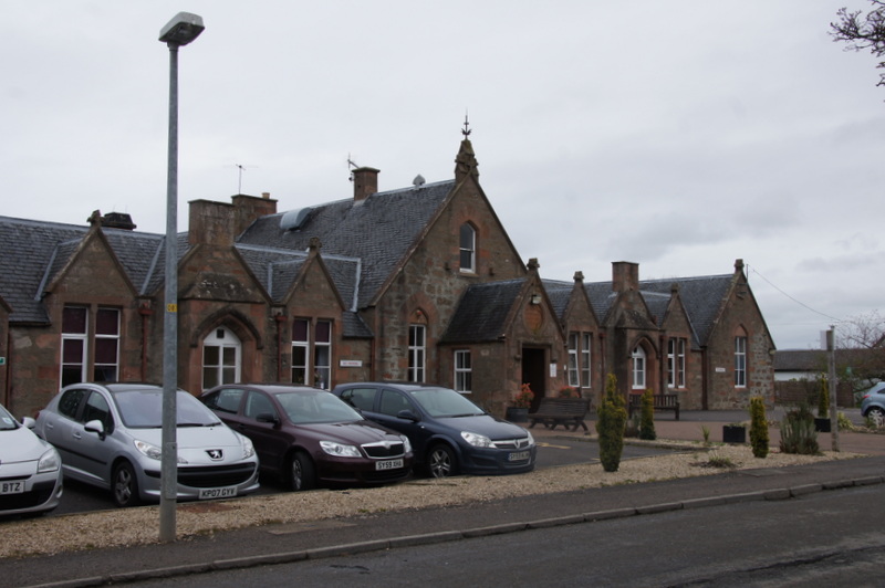
Ross Memorial Hospital
Ross Memorial Hospital is a health facility in Ferry Road, Dingwall, Scotland. It is managed by NHS Highland. It is a Category B listed building. ��2...
Have you been to Allt Beag?
Leave your review of Allt Beag below (or comments, questions and feedback).