Acarseid Mhic Mhurchaidh Oig
Sea, Estuary, Creek in Sutherland
Scotland
Acarseid Mhic Mhurchaidh Oig

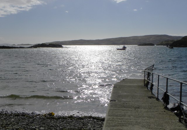
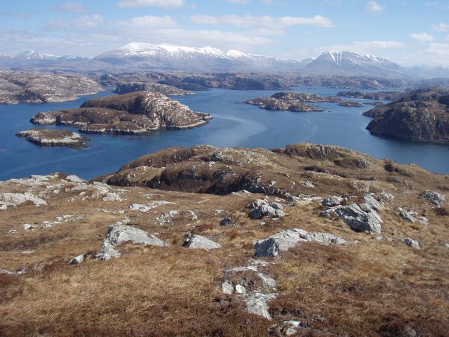
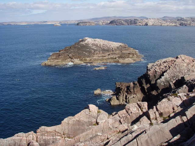
Acarseid Mhic Mhurchaidh Oig is a sea estuary located in Sutherland, Scotland. It is a picturesque and tranquil body of water that provides a habitat for a diverse range of marine and bird species.
The estuary is formed where a river meets the sea, creating a partially enclosed coastal body of water. The river that feeds into Acarseid Mhic Mhurchaidh Oig is the Mhic Mhurchaidh Oig River, which flows through the surrounding hills and valleys before reaching the estuary. The river brings with it freshwater that mixes with the saltwater of the sea, creating a unique ecosystem where both marine and freshwater species thrive.
The estuary is characterized by its wide, shallow banks and sandy bottoms, which are exposed during low tide and covered by water during high tide. This tidal fluctuation creates a dynamic environment that supports a variety of plant and animal life. Seaweeds and other marine vegetation can be found along the estuary's edges, providing food and shelter for many species.
Acarseid Mhic Mhurchaidh Oig is a haven for bird enthusiasts, as it attracts a wide range of coastal and wading birds. Species such as herons, oystercatchers, and sandpipers can often be spotted along the estuary's shores, feeding on the abundant food sources found in the mudflats and shallow waters.
The estuary also serves as an important breeding ground for various fish species, including salmon and sea trout. These fish migrate up the Mhic Mhurchaidh Oig River to spawn, taking advantage of the freshwater environment before returning to the sea.
Overall, Acarseid Mhic Mhurchaidh Oig is a beautiful and ecologically important sea estuary that supports a rich diversity of plant and animal life. Its unique blend of marine and freshwater habitats makes it a valuable ecosystem within the Sutherland region.
If you have any feedback on the listing, please let us know in the comments section below.
Acarseid Mhic Mhurchaidh Oig Images
Images are sourced within 2km of 58.403184/-5.149732 or Grid Reference NC1650. Thanks to Geograph Open Source API. All images are credited.
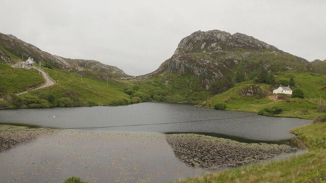
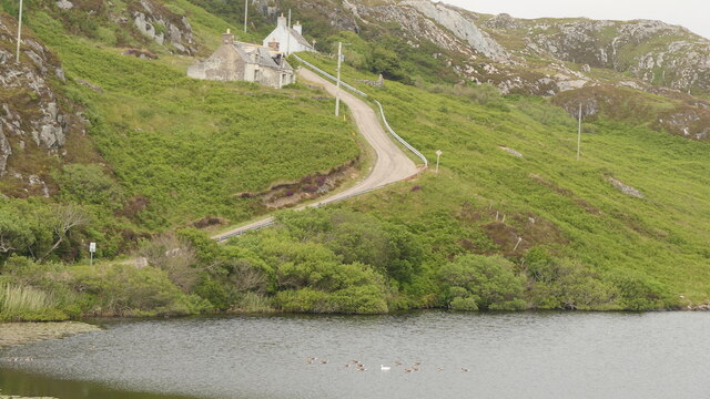
![Down the hill to Loch Dubh The little loch at Tarbet wasn't looking particularly black [dubh] on this sunny afternoon.](https://s0.geograph.org.uk/geophotos/05/78/87/5788712_7a157519.jpg)


Acarseid Mhic Mhurchaidh Oig is located at Grid Ref: NC1650 (Lat: 58.403184, Lng: -5.149732)
Unitary Authority: Highland
Police Authority: Highlands and Islands
What 3 Words
///resembles.budgeted.holly. Near Oldshoremore, Highland
Nearby Locations
Related Wikis

Tarbet, Sutherland
Tarbet (Scottish Gaelic, An Tairbeart) is a hamlet in Sutherland, on the west coast of Scotland. It is the nearest port of contact to the Scottish Wildlife...
Fanagmore
Fanagmore (Scottish Gaelic: An Fheannag Mhòr) is a hamlet in Sutherland, Highland, in far northwestern Scotland. It lies on the south shore of Loch Laxford...

Foindle
Foindle (Scottish Gaelic: An Fhionndail) is a village on the south shore of Loch Laxford in Lairg, Sutherland, Scottish Highlands and is in the Scottish...

Handa Island
Handa Island (Scottish Gaelic: Eilean Shannda) or simply Handa is an island off the west coast of Sutherland, Scotland. It is 309 hectares (760 acres)...
Nearby Amenities
Located within 500m of 58.403184,-5.149732Have you been to Acarseid Mhic Mhurchaidh Oig?
Leave your review of Acarseid Mhic Mhurchaidh Oig below (or comments, questions and feedback).