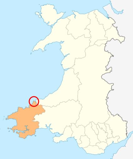
Pwll Melyn
Sea, Estuary, Creek in Pembrokeshire
Wales
Pwll Melyn
The requested URL returned error: 429 Too Many Requests
If you have any feedback on the listing, please let us know in the comments section below.
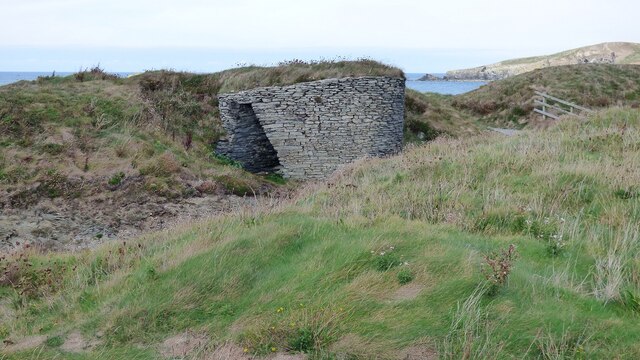
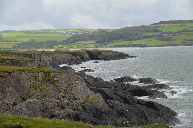
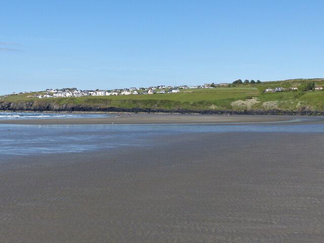
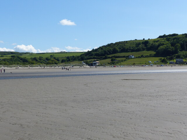
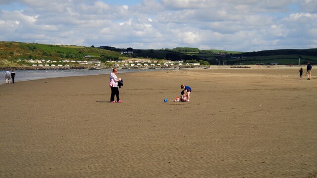
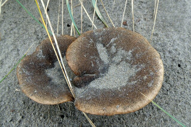
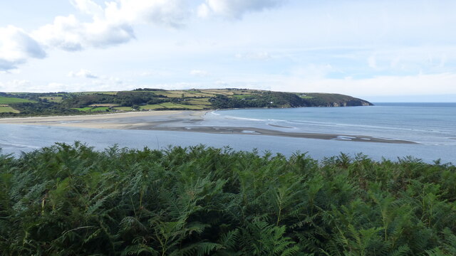
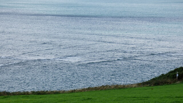
Pwll Melyn Images
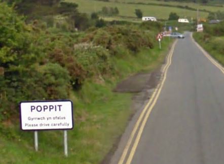
Images are sourced within 2km of 52.111207/-4.7150794 or Grid Reference SN1449. Thanks to Geograph Open Source API. All images are credited.


Pwll Melyn is located at Grid Ref: SN1449 (Lat: 52.111207, Lng: -4.7150794)
Unitary Authority: Pembrokeshire
Police Authority: Dyfed Powys
What 3 Words
///volume.contracting.deleting. Near Cardigan, Ceredigion
Nearby Locations
Related Wikis
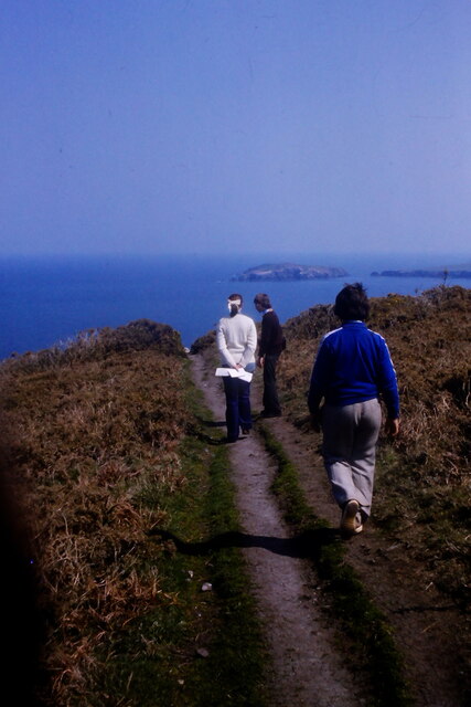
Cemaes Head
Cemaes Head (formerly Cemais, and historically anglicised as Cemmaes, Kemmaes or Kemmes) (Welsh: Pen Cemaes or Trwyn Cemaes) is a headland and nature reserve...
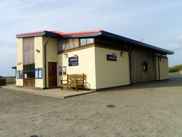
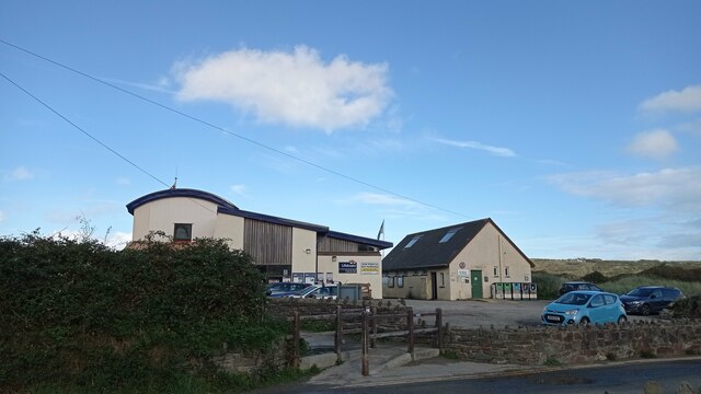
Cardigan Lifeboat Station
Cardigan Lifeboat Station, at Poppit Sands, North Pembrokeshire, near Cardigan, Ceredigion, Wales, is a Royal National Lifeboat Institution (RNLI) lifeboat...
Poppit Sands
Poppit (Welsh: Poppit) is a small, dispersed settlement which lies on the southern side of the estuary of the River Teifi, near Cardigan, in northern Pembrokeshire...

River Teifi
The River Teifi (English: ; Welsh: Afon Teifi, pronounced [ˈavɔn ˈtei̯vi]) in Wales forms the boundary for most of its length between the counties of Ceredigion...
Nearby Amenities
Located within 500m of 52.111207,-4.7150794Have you been to Pwll Melyn?
Leave your review of Pwll Melyn below (or comments, questions and feedback).