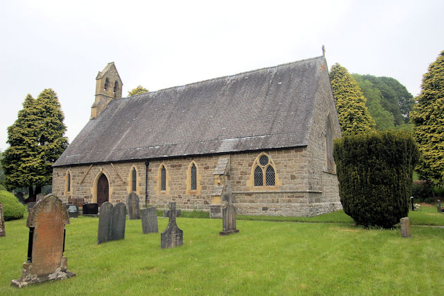
Llanfihangel yng Ngwynfa

Settlement in Montgomeryshire

Wales

Llanfihangel yng Ngwynfa
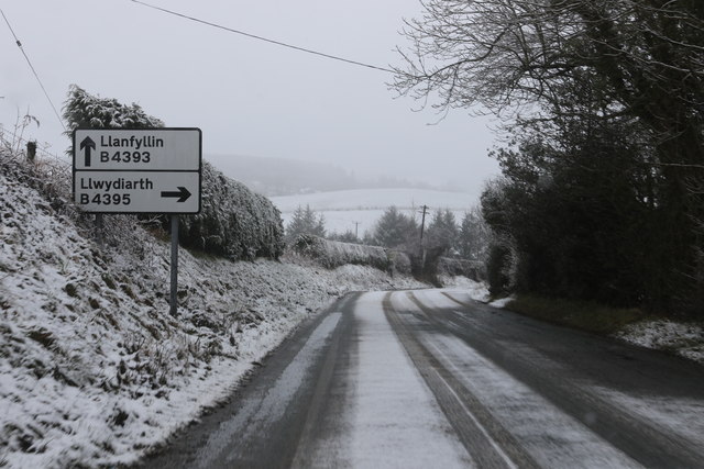
Junction of the B4393 and B4395 Approaching the junction heading east.
Junction of the B4393 and B4395 Credit: Andrew Abbott

The requested URL returned error: 429 Too Many Requests

If you have any feedback on the listing, please let us know in the comments section below.

Llanfihangel yng Ngwynfa Images

Images are sourced within 2km of 52.74118/-3.359768 or Grid Reference SJ0816. Thanks to Geograph Open Source API. All images are credited.

Junction of the B4393 and B4395 Approaching the junction heading east.
Junction of the B4393 and B4395
Approaching the junction heading east.
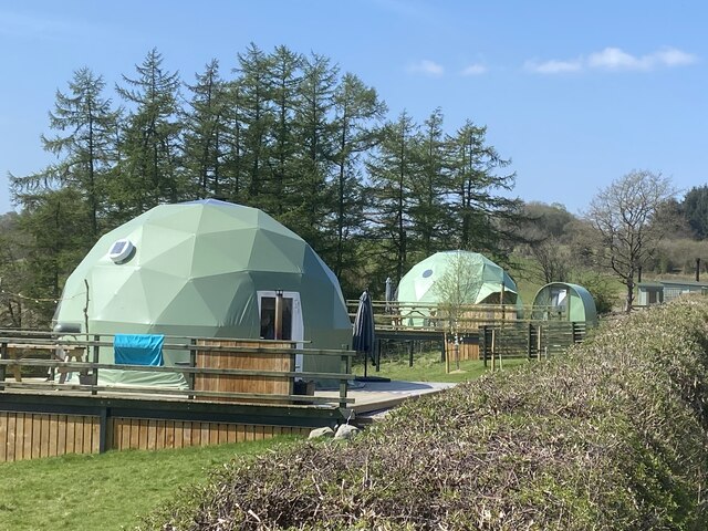
Cae Nant Glamping
Cae Nant Glamping
Obstructed footpath A combination lock keeps the gate closed and barbed wire prevents climbing over it!
Obstructed footpath
A combination lock keeps the gate closed and barbed wire prevents climbing over it!
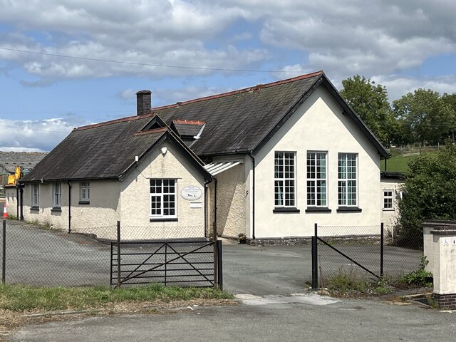
Llanfihangel-yng-Ngwynfa Church in Wales Primary School
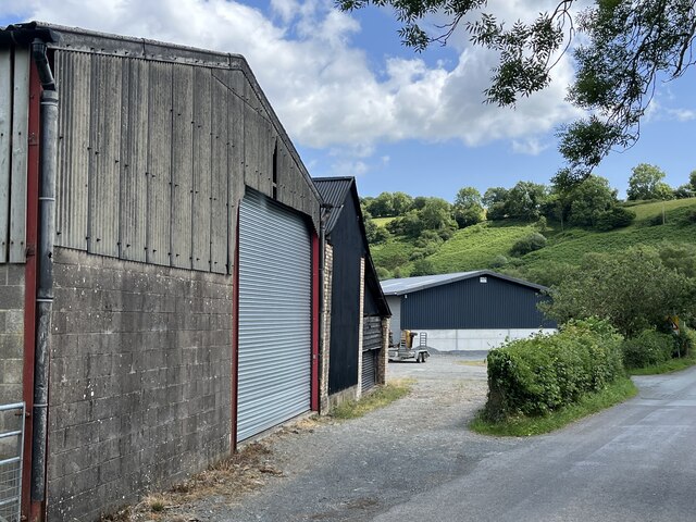
Farm buildings at Tanllan
Farm buildings at Derwendeg
New barn at Fron-heulog
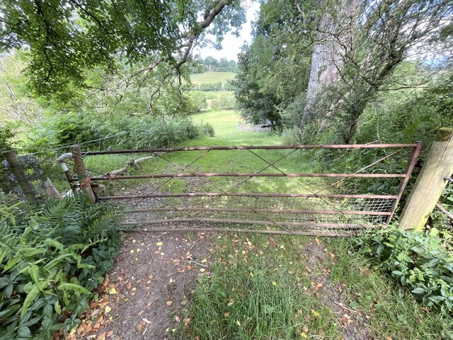
Gate on bridleway
Gate on bridleway
Road junction near Llwydiarth Hall
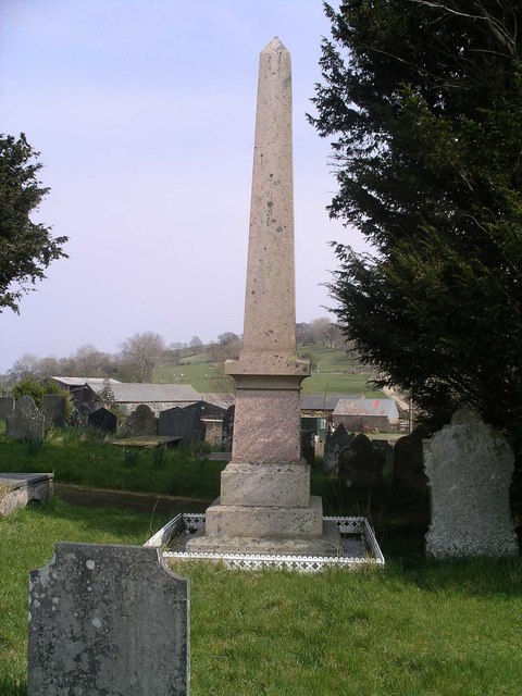
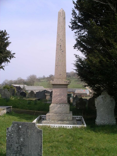
Llanfihangel-yng-Ngwynfa View from the Church, past the grave of Ann Griffiths,The best Female Hymn writer born in Wales.
Llanfihangel-yng-Ngwynfa
View from the Church, past the grave of Ann Griffiths,The best Female Hymn writer born in Wales.
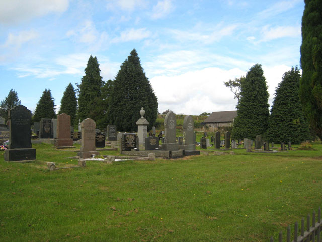
Llanfihangel Cemetery On the southern approach to the village of Llanfihangel-yng-Ngwynfa.
Llanfihangel Cemetery
On the southern approach to the village of Llanfihangel-yng-Ngwynfa.
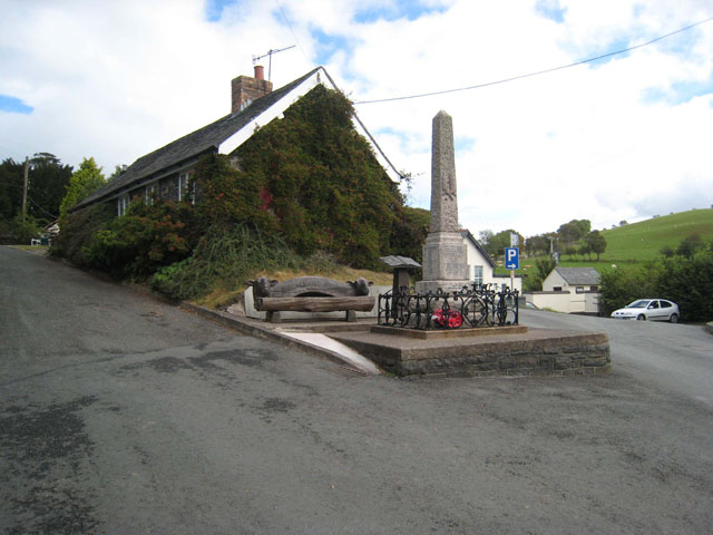
Village square at Llanfihangel The square at the centre of the charming village of Llanfihangel-yng-Ngwynfa. To the left of the war memorial can be seen the village Millennium Bench.
Village square at Llanfihangel
The square at the centre of the charming village of Llanfihangel-yng-Ngwynfa. To the left of the war memorial can be seen the village Millennium Bench.
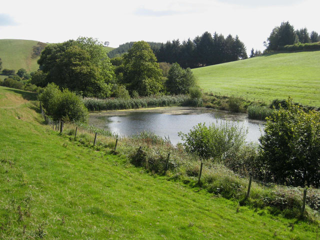
Pond near Pen-y-Parc
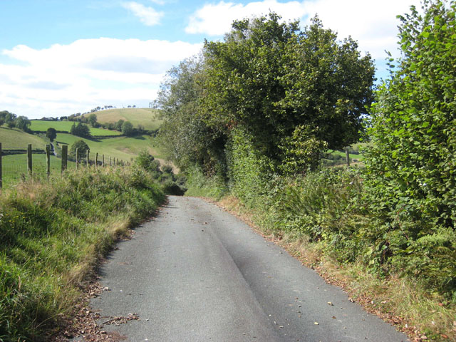
The lane from Cefnllwyni to Llanfihangel This part of mid-Wales is characterised by numerous narrow steep lanes sunk between high hedgerows.
The lane from Cefnllwyni to Llanfihangel
This part of mid-Wales is characterised by numerous narrow steep lanes sunk between high hedgerows.
Brynglas Wood A small Forestry Commission plantation off the B4393 Lake Vyrnwy road.
Brynglas Wood
A small Forestry Commission plantation off the B4393 Lake Vyrnwy road.
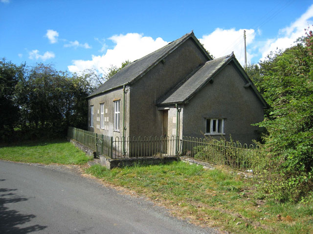
Chapel at Rhyd-y-Llechau Presumably still in use, and not yet converted, as so many old chapels are, to a private dwelling.
Chapel at Rhyd-y-Llechau
Presumably still in use, and not yet converted, as so many old chapels are, to a private dwelling.
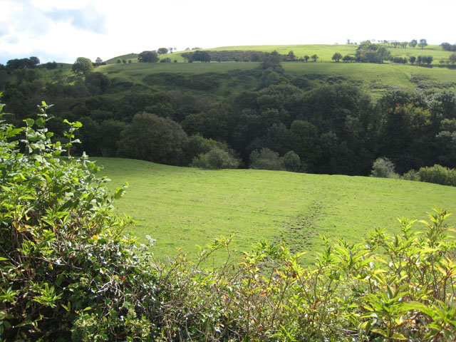
Head of the Nant Allan valley Seen from the B4393 Lake Vyrnwy road near Llanfihangel.
Head of the Nant Allan valley
Seen from the B4393 Lake Vyrnwy road near Llanfihangel.
Fron Heulog Farm near Llanfihangel-yng-Ngwynfa.
Fron Heulog
Farm near Llanfihangel-yng-Ngwynfa.
Show me another place!

Llanfihangel yng Ngwynfa is located at Grid Ref: SJ0816 (Lat: 52.74118, Lng: -3.359768)

Unitary Authority: Powys

Police Authority: Dyfed Powys

Also known as: Llanfihangel-yng-Ngwynfa

What 3 Words

///rainfall.snug.presides. Near Llanfyllin, Powys

Related Wikis

Llanfihangel-yng-Ngwynfa

Llanfihangel-yng-Ngwynfa () was a parish within the former historic county of Montgomeryshire. It now forms a major part of the community of Llanfihangel...

Plynlimon and Hafan Tramway

The Plynlimon and Hafan Tramway was a 2 ft 3 in (686 mm) gauge narrow gauge railway in Cardiganshire (now Ceredigion) in Mid Wales. It ran from Llanfihangel...

Dolanog

Dolanog () or Pont Dolanog is an ecclesiastical parish or chapelry that was formed in October 1856. It comprises the townships of Dolwar in Llanfihangel...

Pontrobert

Pontrobert is an ecclesiastical parish that was formed in September 1854. It comprises the townships of Teirtref and part of Nantymeichiaid in the parish...

Nearby Amenities

Located within 500m of 52.74118,-3.359768
Llanfihangel yng Ngwynfa
Is In: Powys
Place: village
Source: npe
Wikidata: Q10989923
Lat/Long: 52.741516/-3.3635074
Public Bookcase
Booth: K6
Disused Amenity: telephone
Man Made: telephone_box
Public Bookcase Type: phone_box
Lat/Long: 52.7407692/-3.3642956
Historic: memorial
Memorial: war_memorial
Lat/Long: 52.7414171/-3.3638906
Post Box
Post Box Type: lamp
Royal Cypher: EIIR
Royal Cypher Wikidata: Q33102113
Lat/Long: 52.7413895/-3.3637887
Barrier: cattle_grid
Lat/Long: 52.7401757/-3.3642244
The data included in this document is from www.openstreetmap.org. The data is made available under ODbL.

Have you been to Llanfihangel yng Ngwynfa?

Leave your review of Llanfihangel yng Ngwynfa below (or comments, questions and feedback).