Barrett's Zawn
Sea, Estuary, Creek in Cornwall
England
Barrett's Zawn

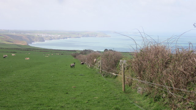
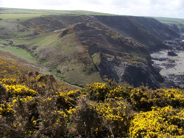
Barrett's Zawn is a stunning coastal feature located in Cornwall, England. This natural wonder is situated along the rugged coastline, between the towns of Perranporth and St Agnes. It is renowned for its dramatic cliffs, crystal-clear waters, and picturesque surroundings.
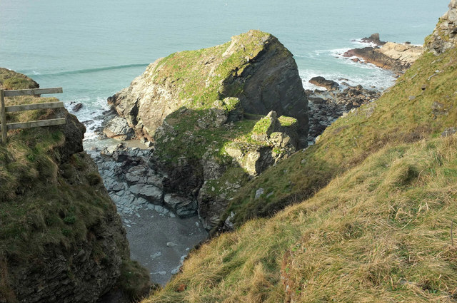
At Barrett's Zawn, the sea meets the land in a spectacular display of power and beauty. The towering cliffs that frame the zawn provide a breathtaking backdrop, creating a sense of awe and wonder. The waves crash against the rocks, sending sprays of water into the air, and the sound of the roaring sea fills the air.
The zawn itself is a narrow, deep inlet that extends into the land, forming a small estuary or creek. The water within the zawn is often calm and tranquil, creating a peaceful haven away from the wildness of the open sea. This serene environment attracts a variety of wildlife, including seabirds, seals, and even the occasional dolphin or porpoise.
Visitors to Barrett's Zawn can enjoy a range of activities. The cliff paths offer stunning views of the coastline and are perfect for hikers and walkers. The estuary provides an ideal spot for swimming, paddleboarding, or even fishing. And for those seeking a more relaxed experience, simply sitting on the beach and taking in the natural beauty is a treat in itself.
Barrett's Zawn is a true gem of the Cornish coastline, offering visitors a chance to connect with nature and experience the power and tranquility of the sea.
If you have any feedback on the listing, please let us know in the comments section below.
Barrett's Zawn Images
Images are sourced within 2km of 50.603246/-4.7910677 or Grid Reference SX0281. Thanks to Geograph Open Source API. All images are credited.


Barrett's Zawn is located at Grid Ref: SX0281 (Lat: 50.603246, Lng: -4.7910677)
Unitary Authority: Cornwall
Police Authority: Devon and Cornwall
What 3 Words
///trending.farms.reports. Near Delabole, Cornwall
Nearby Locations
Related Wikis
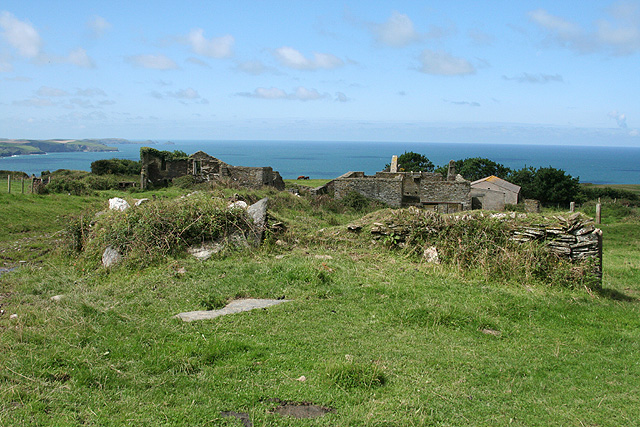
Dannonchapel
Dannonchapel is a ruined farm in Cornwall, England. It is about two miles southwest of Delabole. Dannonchapel was a farm in Domesday Book (1086) occupied...
Pendoggett
Pendoggett (Cornish: Penndewgos) is a village in the civil parish of St Kew, Cornwall, England, United Kingdom. It is a linear village stradling the B3314...
Tregardock and Treligga
Tregardock (Cornish: Tregaradek, meaning homestead of Caradoc) is a coastal hamlet and beach in the civil parish of Delabole in north Cornwall, England...

Port Gaverne
Port Gaverne is a hamlet on the north coast of Cornwall, England, UK, about 0.5 miles (0.80 km) east of Port Isaac and part of St Endellion parish. Although...

Trewetha
Trewetha is a hamlet in the parish of St Endellion, Cornwall, England, United Kingdom. There was a mine at Trewetha known as Wheal Boys. == References ==
Restaurant Nathan Outlaw
Restaurant Nathan Outlaw is a two Michelin star restaurant owned and operated by Nathan Outlaw. It has previously been located in Marina Villa Hotel in...
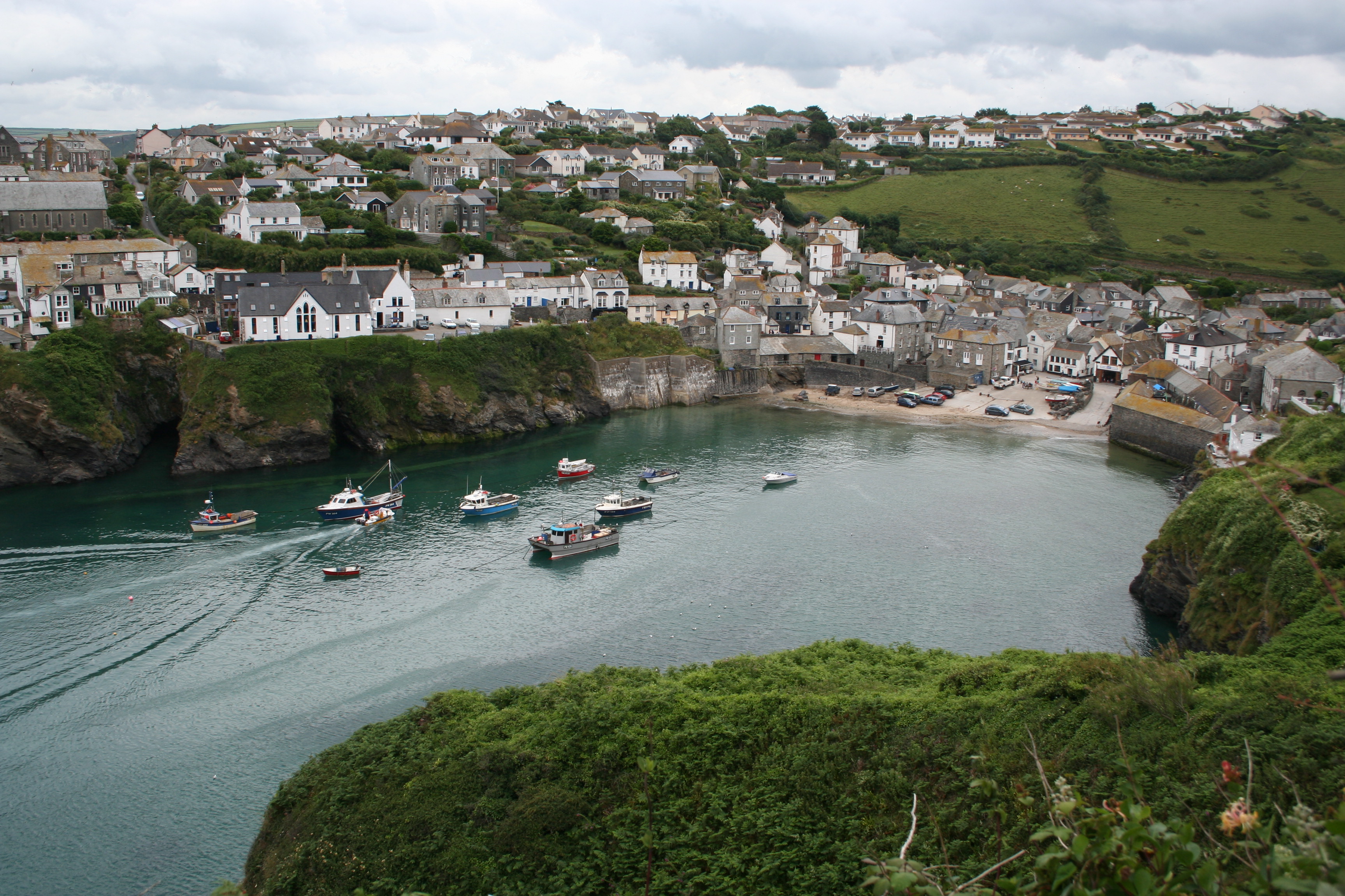
Port Isaac
Port Isaac (Cornish: Porthysek) is a small fishing village on the Atlantic coast of north Cornwall, England, in the United Kingdom. The nearest towns are...
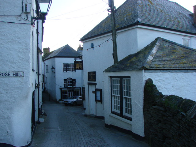
Golden Lion, Port Isaac
The Golden Lion is a public house on Fore Street in the English fishing village of Port Isaac, Cornwall. Believed to date from at least the early 19th...
Related Videos
Great locations, Fine food and Fantastic friends… #PortIsaac and #Padstow by cVk @ #Ceevisk ©️2024
April usher's in a salt spray of Angry Green Sea, with a black sky in front to clash with a bright Rainbow and sun filled sky from ...
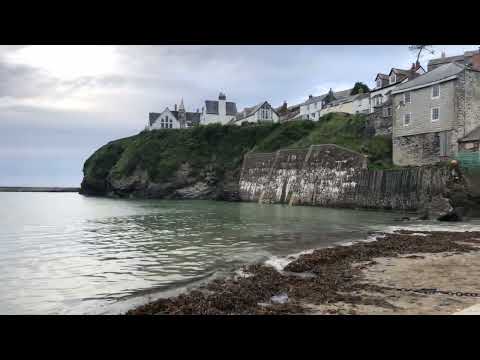
Port Isaac on the beach
May 2022. Taken on the platt of Port Isaac. High tide. Vacation 2022.

Port Isaac
Visited the location of Doc Martin and Fishermans friend today. lovely little fishing village on the north-weat coast of Cornwall ...

Our Night Camping At St. Teath!
Join us as we spend a night in a tent at the fabulous Sea View Farm, near St. Teath, Cornwall. This video is a part of our ...
Nearby Amenities
Located within 500m of 50.603246,-4.7910677Have you been to Barrett's Zawn?
Leave your review of Barrett's Zawn below (or comments, questions and feedback).