Bosherston Mere
Sea, Estuary, Creek in Pembrokeshire
Wales
Bosherston Mere

Bosherston Mere is a natural lagoon located in the beautiful Pembrokeshire Coast National Park in southwest Wales. It is situated near the village of Bosherston and is known for its stunning scenery and diverse wildlife.
The Mere is a tidal inlet that forms part of the larger Stackpole Estate, which is managed by the National Trust. It is connected to the sea through a narrow channel, allowing seawater to flow in and out with the tides. The Mere itself covers an area of approximately 20 acres and is surrounded by a mix of woodland and grassland.
One of the most notable features of Bosherston Mere is its abundance of water lilies. During the summer months, the Mere's surface becomes a carpet of vibrant white and yellow flowers, creating a picturesque and tranquil setting. This spectacle attracts many visitors who come to admire the beauty of the lilies and take leisurely walks around the Mere.
The Mere also provides a habitat for a wide range of wildlife, including birds, insects, and amphibians. Birdwatchers can often spot species such as herons, swans, and kingfishers, while the surrounding woodlands are home to various woodland birds. The Mere is also known for its population of otters, which can sometimes be seen swimming or playing in the water.
In addition to its natural beauty, Bosherston Mere offers recreational activities for visitors. There are walking trails and picnic areas, as well as opportunities for boating and fishing. The Mere is also a popular spot for kayaking and paddleboarding, allowing visitors to explore the tranquil waters and enjoy the peaceful surroundings.
Overall, Bosherston Mere is a stunning natural feature that offers both beauty and biodiversity. Whether it's for a scenic walk, birdwatching, or simply enjoying the peaceful atmosphere, this Pembrokeshire gem is well worth a visit.
If you have any feedback on the listing, please let us know in the comments section below.
Bosherston Mere Images
Images are sourced within 2km of 51.597465/-4.9435839 or Grid Reference SR9692. Thanks to Geograph Open Source API. All images are credited.


Bosherston Mere is located at Grid Ref: SR9692 (Lat: 51.597465, Lng: -4.9435839)
Unitary Authority: Pembrokeshire
Police Authority: Dyfed Powys
What 3 Words
///blotches.firebird.spare. Near Bosherston, Pembrokeshire
Nearby Locations
Related Wikis

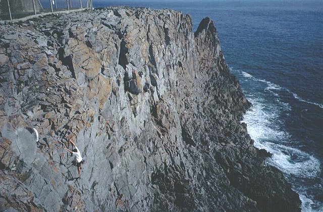
Huntsman's Leap
Huntsman's Leap is a deep, narrow and sheer-sided coastal chasm or geo developed in the Carboniferous Limestone of the Pembrokeshire Coast National Park...
Saint Govan
Saint Govan (Welsh: Gofan; died 586) was a hermit who lived in a fissure on the side of coastal cliff near Bosherston, in the Pembrokeshire Coast National...

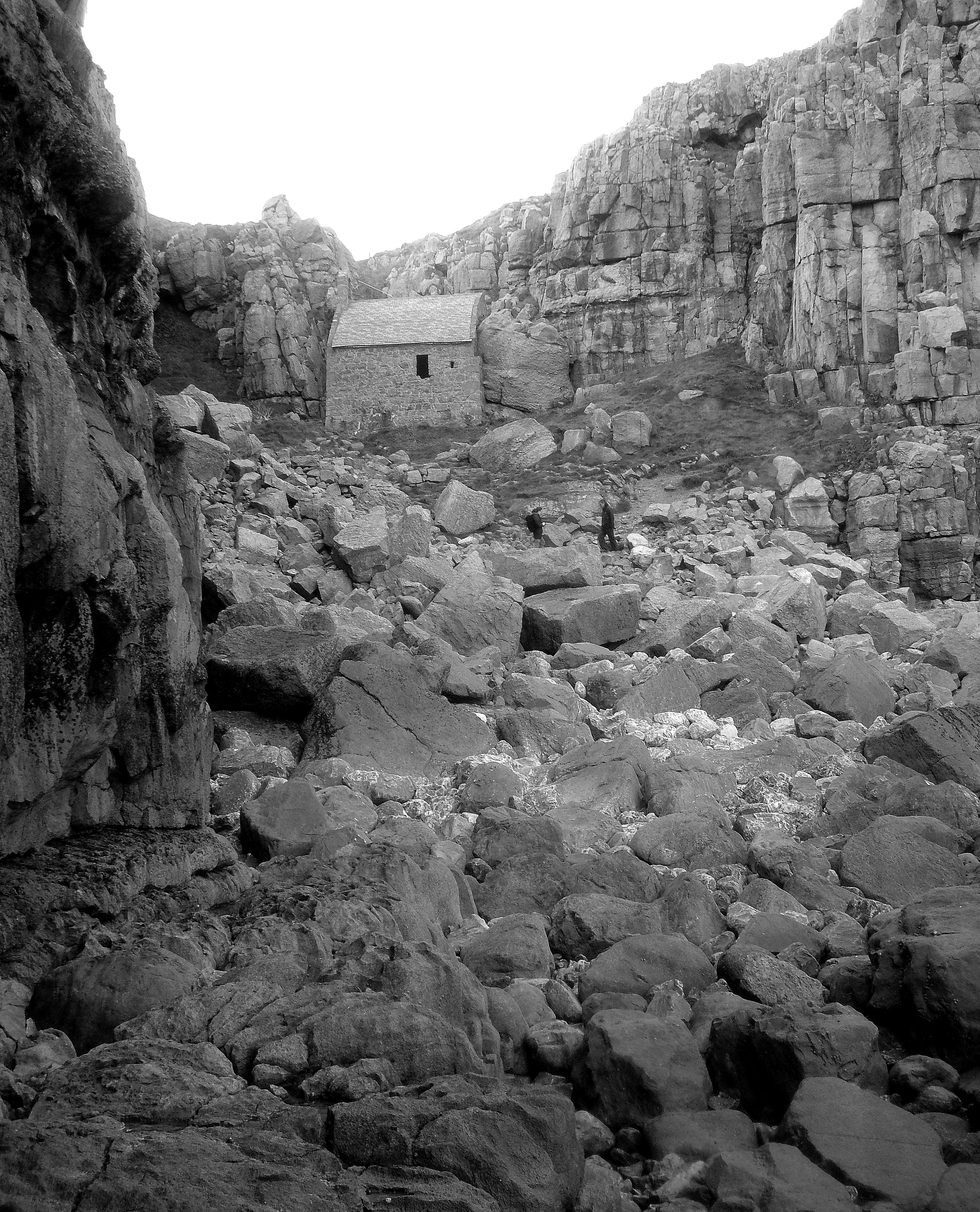
St Govan's Chapel
St Govan's Chapel is a chapel located at St Govan's Head, Pembrokeshire in south west Wales. Built into the side of a limestone cliff, the building measures...

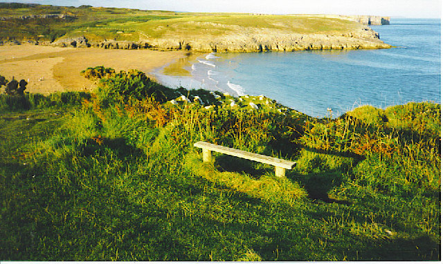
Broad Haven South
Broad Haven South is a beach located 1 mile (1.6 km) southeast of Bosherston on the edge of the Stackpole Estate in Pembrokeshire, Wales. Broad Haven...
Nearby Amenities
Located within 500m of 51.597465,-4.9435839Have you been to Bosherston Mere?
Leave your review of Bosherston Mere below (or comments, questions and feedback).