Pwll Ffyliaid
Sea, Estuary, Creek in Pembrokeshire
Wales
Pwll Ffyliaid
Pwll Ffyliaid is a small village located in Pembrokeshire, Wales, known for its stunning natural beauty and picturesque surroundings. Situated on the coast, it is nestled between the sea and an estuary, with a creek running through the village.
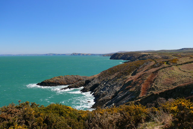
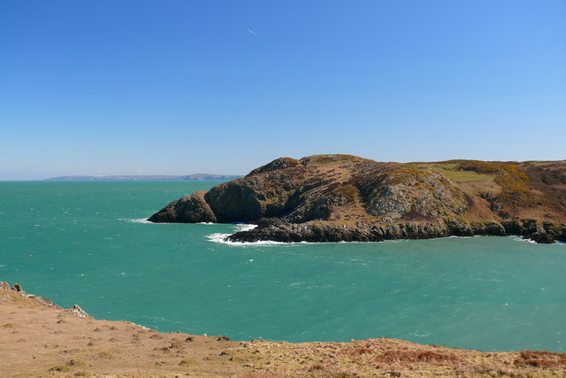
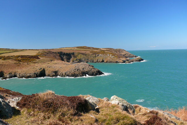
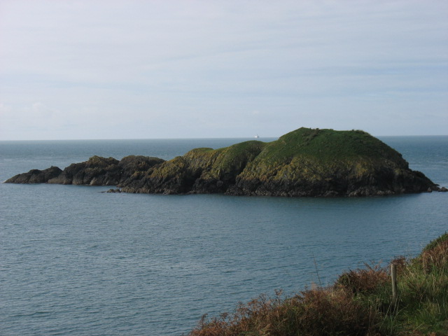
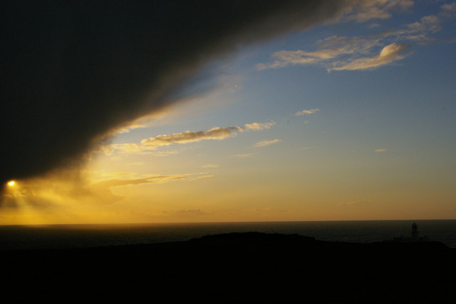
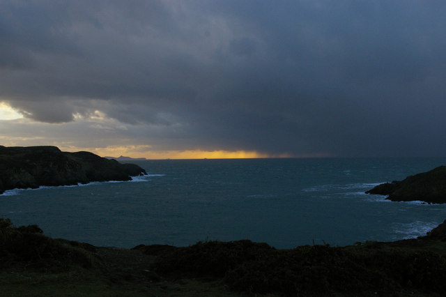
The sea at Pwll Ffyliaid offers breathtaking views and is a popular spot for outdoor activities such as swimming, surfing, and fishing. The crystal-clear waters and sandy beaches are perfect for sunbathing and relaxation. The coastal cliffs provide a magnificent backdrop and are a haven for birdwatching enthusiasts, as they are home to a variety of seabird species.
The estuary at Pwll Ffyliaid is formed where the river meets the sea, creating a unique ecosystem that is rich in biodiversity. It is a designated Special Area of Conservation and supports a wide range of bird, plant, and animal species. The estuary provides an excellent habitat for wading birds and is a favorite spot for birdwatchers. Visitors can explore the estuary by kayak or take a leisurely walk along the scenic trails that wind alongside its banks.
The creek in Pwll Ffyliaid is a charming feature of the village, with its gentle flow and tranquil atmosphere. Surrounded by lush greenery, it offers a peaceful retreat for those seeking a break from the hustle and bustle of everyday life. Visitors can enjoy picnicking by the creek or simply sit back and enjoy the soothing sounds of nature.
In summary, Pwll Ffyliaid is a hidden gem in Pembrokeshire, offering a unique blend of sea, estuary, and creek. Its natural beauty, diverse wildlife, and recreational opportunities make it a must-visit destination for nature lovers and outdoor enthusiasts.
If you have any feedback on the listing, please let us know in the comments section below.
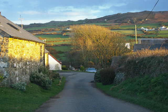
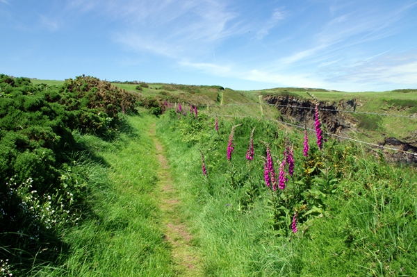
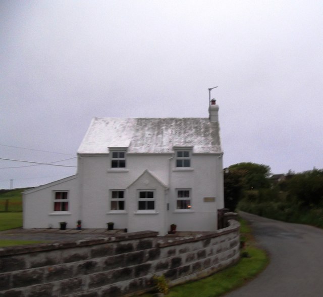
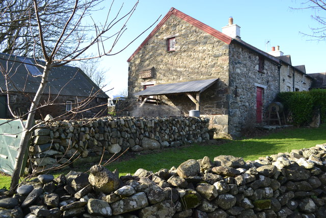
Pwll Ffyliaid Images
Images are sourced within 2km of 52.025506/-5.0734217 or Grid Reference SM8940. Thanks to Geograph Open Source API. All images are credited.
Pwll Ffyliaid is located at Grid Ref: SM8940 (Lat: 52.025506, Lng: -5.0734217)
Unitary Authority: Pembrokeshire
Police Authority: Dyfed Powys
What 3 Words
///managers.guideline.leads. Near Goodwick, Pembrokeshire
Nearby Locations
Related Wikis

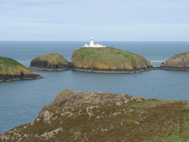
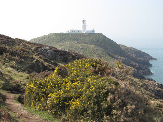
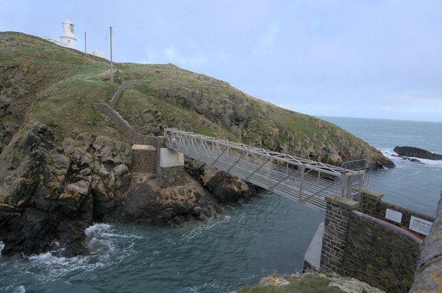
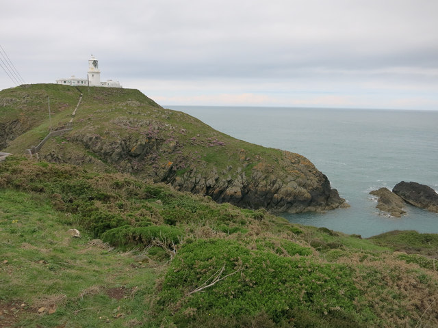
Strumble Head
Strumble Head (Welsh: Pen Caer,Trwyn-câr, Pen Strwmbl) is a rocky headland in the community of Pencaer in Pembrokeshire, Wales, within the Pembrokeshire...
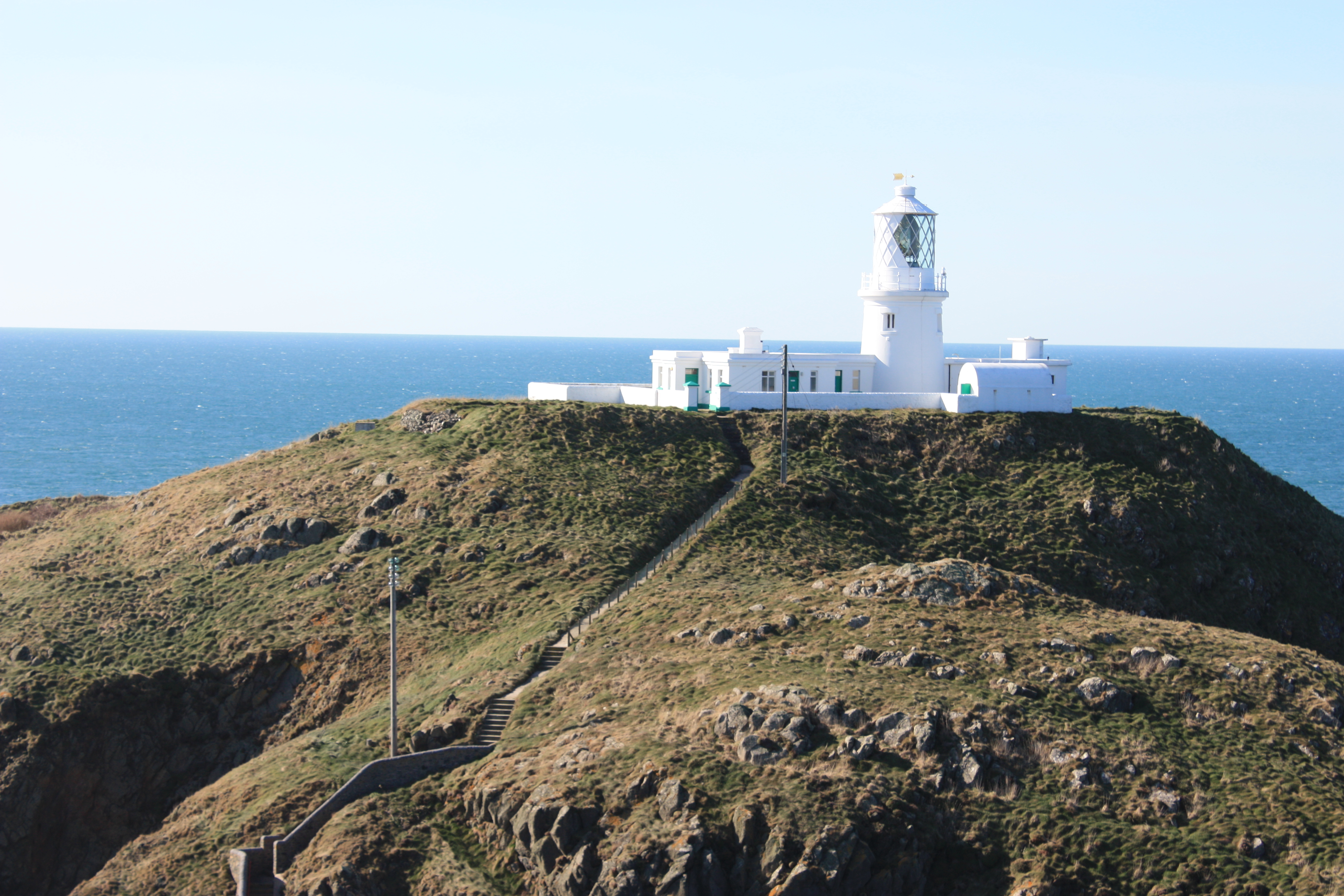
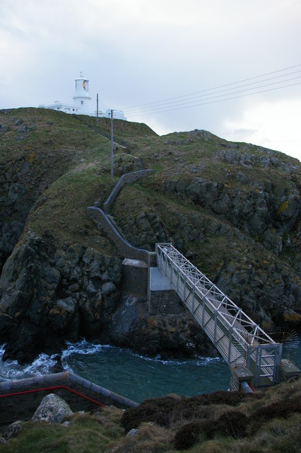
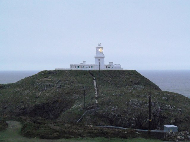
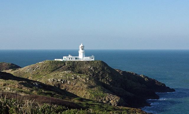
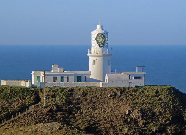
Strumble Head Lighthouse
Strumble Head Lighthouse stands on Ynys Meicel (from Welsh: St. Michael's Island), also known as Strumble Head, a rocky island at the northwest corner...

Calburga
Calburga was a Canadian barque, the last Canadian-built square-rigger of large tonnage. She was built in 1890 at South Maitland, Nova Scotia by local shipbuilder...

Strumble Head - Llechdafad Cliffs
Strumble Head - Llechdafad Cliffs is a Site of Special Scientific Interest (SSSI) in Pembrokeshire, South Wales. It has been designated as a SSSI since...
Nearby Amenities
Located within 500m of 52.025506,-5.0734217Have you been to Pwll Ffyliaid?
Leave your review of Pwll Ffyliaid below (or comments, questions and feedback).