Poll nan Cnaimh

Sea, Estuary, Creek in Argyllshire

Scotland

Poll nan Cnaimh

Fennaerochan Trig Point Flush Bracket 10518
Fennaerochan Trig Point Flush Bracket 10518 Credit: thejackrustles

Poll nan Cnaimh is a picturesque estuary located in Argyllshire, Scotland. Nestled between rolling hills and lush greenery, this body of water is a popular spot for outdoor enthusiasts and nature lovers alike.

The estuary is fed by a small creek that winds its way through the surrounding landscape, eventually meeting the sea at Poll nan Cnaimh. The crystal-clear waters of the estuary are home to a variety of marine life, making it a prime location for fishing and bird watching.

The surrounding area offers stunning views of the rugged coastline and nearby islands, providing plenty of opportunities for hiking and exploring. Visitors can also enjoy leisurely boat rides along the estuary, taking in the tranquil beauty of the Scottish countryside.

Poll nan Cnaimh is a peaceful and serene destination, perfect for those looking to escape the hustle and bustle of everyday life. Whether you're seeking a quiet retreat or an outdoor adventure, this estuary has something to offer for everyone.

If you have any feedback on the listing, please let us know in the comments section below.

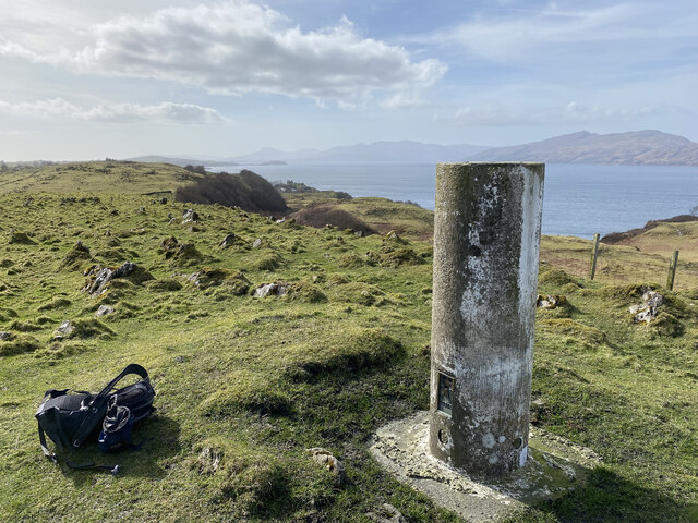
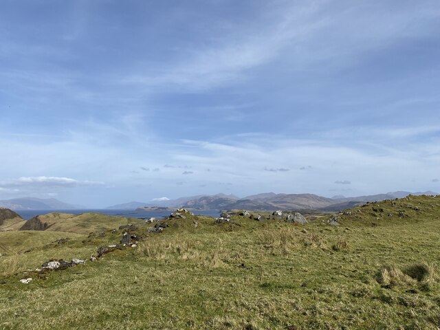
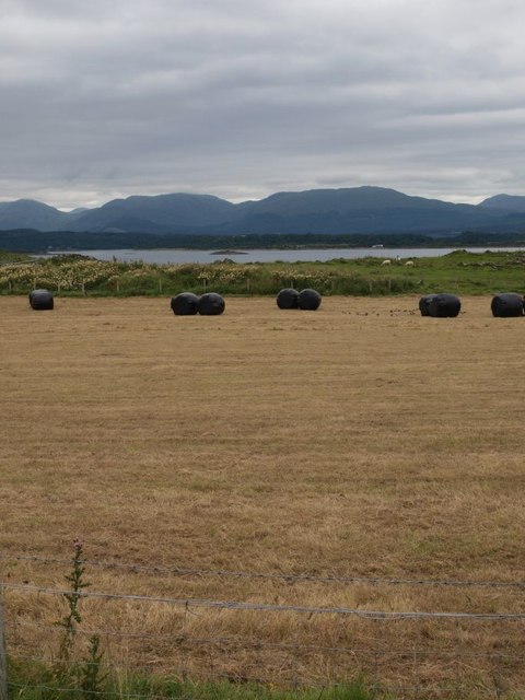
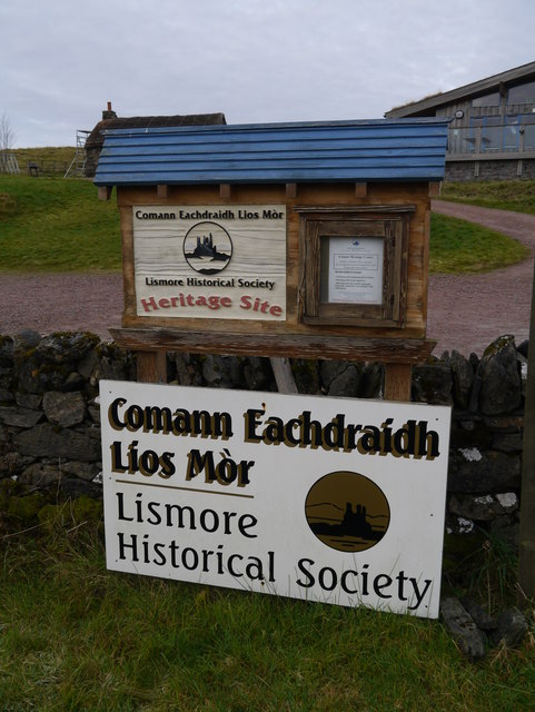
Poll nan Cnaimh Images

Images are sourced within 2km of 56.53657/-5.4931888 or Grid Reference NM8543. Thanks to Geograph Open Source API. All images are credited.

Fennaerochan Trig Point Flush Bracket 10518
Views to the mainland from our lunch spot
Tirefour Castle View towards the broch on Lismore from Eriska.
Tirefour Castle
View towards the broch on Lismore from Eriska.
Lismore scene near Castle Coeffin People walking to or from the dramatic Castle Coeffin use the path just to the left of the dry-stane dyke. The field in the foreground is boggy with lots of meadowsweet - like very many other spots at this time of year. The hills in the distance are on the mainland, on the far side of Loch Linnhe.
Lismore scene near Castle Coeffin
People walking to or from the dramatic Castle Coeffin use the path just to the left of the dry-stane dyke. The field in the foreground is boggy with lots of meadowsweet - like very many other spots at this time of year. The hills in the distance are on the mainland, on the far side of Loch Linnhe.
Lismore coastline near Castle Coeffin The photo is taken from Castle Coeffin itself, looking north-east along the coastline of Lismore with Ardgour beyond, across Loch Linnhe.
Lismore coastline near Castle Coeffin
The photo is taken from Castle Coeffin itself, looking north-east along the coastline of Lismore with Ardgour beyond, across Loch Linnhe.
Road to Balnagown The 'main' road, that runs the length of Lismore, runs left to right across the picture. To the left side we see the junction with the road that runs to Balnagown (and comes to an end there). The photo was taken from just in front of the cafe at the Lismore historical museum.
Road to Balnagown
The 'main' road, that runs the length of Lismore, runs left to right across the picture. To the left side we see the junction with the road that runs to Balnagown (and comes to an end there). The photo was taken from just in front of the cafe at the Lismore historical museum.
Approaching Tirefour broch The Iron Age broch of Tirefour is in an excellent state of repair. As seen here it stands clearly in view as one approaches along the ridge from the Achnacroish direction.
Approaching Tirefour broch
The Iron Age broch of Tirefour is in an excellent state of repair. As seen here it stands clearly in view as one approaches along the ridge from the Achnacroish direction.
Newly cut hayfield on Lismore The hills beyond are on the mainland.
Newly cut hayfield on Lismore
The hills beyond are on the mainland.
Lismore east coast The picture looks along the line of low cliffs with Appin in the distance on the mainland. Such low cliffs are typical of the east coast of Lismore.
Lismore east coast
The picture looks along the line of low cliffs with Appin in the distance on the mainland. Such low cliffs are typical of the east coast of Lismore.
Lismore Heritage Centre Unfortunately closed for the winter, the centre was opened in 2007.  Further information is available here: <span class="nowrap"><a title="http://www.celm.org.uk/index.htm" rel="nofollow ugc noopener" href="http://www.celm.org.uk/index.htm">Link</a><img style="margin-left:2px;" alt="External link" title="External link - shift click to open in new window" src="https://s1.geograph.org.uk/img/external.png" width="10" height="10"/></span>
Lismore Heritage Centre
Unfortunately closed for the winter, the centre was opened in 2007. Further information is available here: LinkExternal link
Tirefour broch, Lismore
Loch Baile a'Ghobhainn
Lismore Post Office Opening times for this Post Office may be found: <span class="nowrap"><a title="http://www.iopeningtimes.co.uk/Post-Office/Oban-Lismore/" rel="nofollow ugc noopener" href="http://www.iopeningtimes.co.uk/Post-Office/Oban-Lismore/">Link</a><img style="margin-left:2px;" alt="External link" title="External link - shift click to open in new window" src="https://s1.geograph.org.uk/img/external.png" width="10" height="10"/></span>
Lismore Post Office
Opening times for this Post Office may be found: LinkExternal link
Lismore War Memorial Situated close to Lismore Parish Church.
Lismore War Memorial
Situated close to Lismore Parish Church.
Lismore War Memorial - detail Situated close to Lismore Parish Church.
Lismore War Memorial - detail
Situated close to Lismore Parish Church.
Lismore Fire Station Where they also park the local ambulance.
Lismore Fire Station
Where they also park the local ambulance.
Lismore Parish Church Exterior view.
Lismore Parish Church
Exterior view.
Show me another place!

Poll nan Cnaimh is located at Grid Ref: NM8543 (Lat: 56.53657, Lng: -5.4931888)

Unitary Authority: Argyll and Bute

Police Authority: Argyll and West Dunbartonshire

What 3 Words

///grasp.bounding.agreed. Near Oban, Argyll & Bute

Related Wikis

Castle Coeffin

Castle Coeffin is a ruin on the island of Lismore, an island in Loch Linnhe, in Argyll, on the west coast of Scotland. It stands on a promontory on the...

St Moluag's Cathedral, Lismore

St Moluag's Cathedral is located on the Scottish island of Lismore just off the coast of Oban. As a congregation of the Church of Scotland, which is Presbyterian...

Tirefour Castle

Tirefour Castle, (or Tirefour Broch, also spelled Tirfuir and Tirrefour) is an Iron Age broch located 4 kilometres north of Achnacroish on the island of...

Lismore, Scotland

Lismore (Scottish Gaelic: Lios Mòr, pronounced [ʎis̪ ˈmoːɾ] possibly meaning "great enclosure" or "garden") is an island of some 2,351 hectares (9.1 square...

Nearby Amenities

Located within 500m of 56.53657,-5.4931888
Sgeir nan Uan
Natural: cape
Lat/Long: 56.5367519/-5.4924892
Tìr a' Choirce
Alt Name: Tirechoirce
Place: locality
Lat/Long: 56.5346007/-5.4876245
The data included in this document is from www.openstreetmap.org. The data is made available under ODbL.

Have you been to Poll nan Cnaimh?

Leave your review of Poll nan Cnaimh below (or comments, questions and feedback).