Port an Dreadhain

Sea, Estuary, Creek in Argyllshire

Scotland

Port an Dreadhain

B8045, Lismore
B8045, Lismore Credit: Richard Webb

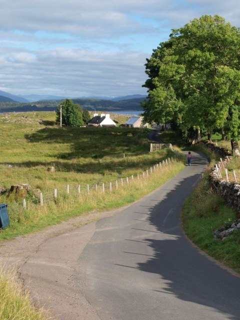
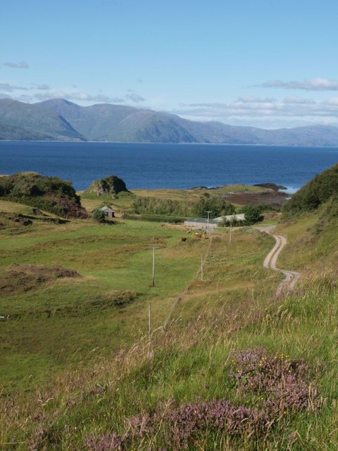
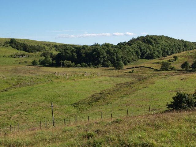
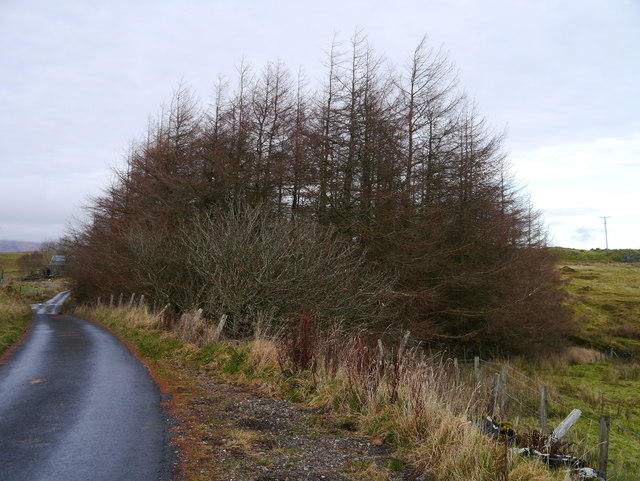
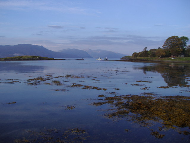
Port an Dreadhain, located in Argyllshire, is a picturesque coastal area nestled along the western coast of Scotland. Known for its stunning sea views, estuary, and creek, this idyllic destination attracts visitors from near and far.

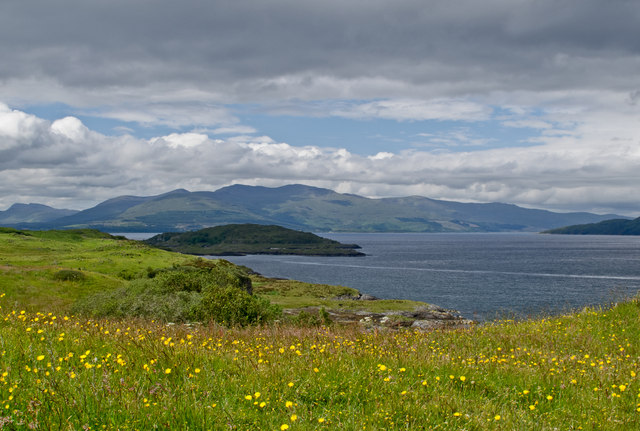
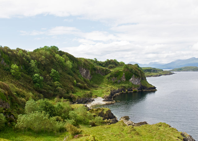
The main feature of Port an Dreadhain is its expansive sea, which stretches out as far as the eye can see. The crystal-clear waters provide the perfect setting for various water activities, such as swimming, sailing, and fishing. The sea is home to a diverse array of marine life, including seals, dolphins, and various species of fish, making it a haven for wildlife enthusiasts and nature lovers.

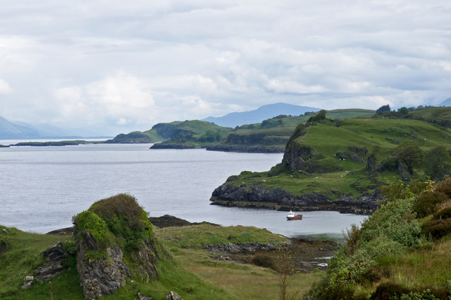
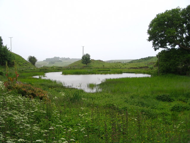
Adjacent to the sea is the estuary, a vast expanse of water where a river meets the sea. This unique ecosystem supports a rich biodiversity, with numerous bird species, including herons and wading birds, frequenting the area. The estuary also serves as a vital breeding ground for various fish species, contributing to the ecological balance of the region.

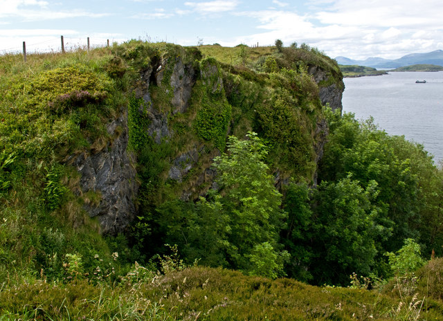
Further inland, a charming creek winds its way through the landscape, providing a tranquil oasis for visitors seeking peace and serenity. The creek is lined with lush vegetation, creating a picturesque backdrop for leisurely walks and picnics. Its calm waters offer a safe haven for small boats and canoes, allowing visitors to explore the area at their own pace.

Overall, Port an Dreadhain in Argyllshire is a captivating destination that offers a unique blend of sea, estuary, and creek. Its natural beauty and diverse wildlife make it a must-visit location for anyone seeking a true Scottish coastal experience.

If you have any feedback on the listing, please let us know in the comments section below.

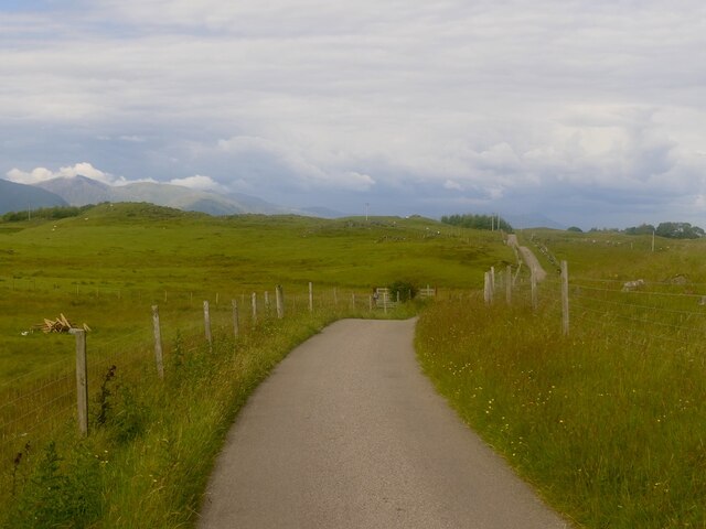
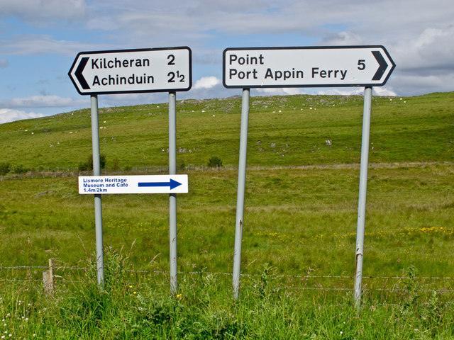
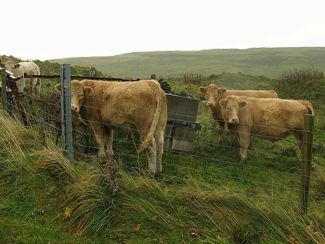
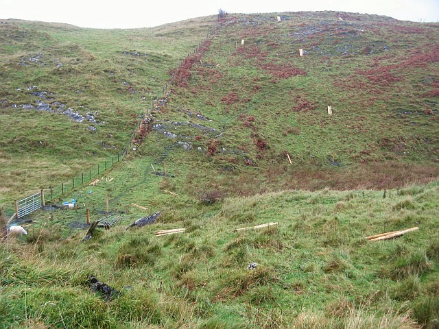
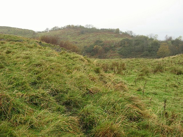
Port an Dreadhain Images

Images are sourced within 2km of 56.511454/-5.5299337 or Grid Reference NM8241. Thanks to Geograph Open Source API. All images are credited.

B8045, Lismore
B8045, Lismore
Western coast of Lismore A view over the western coastline of Lismore, with the Isle of Mull visible in the distance. Lismore is largely composed of Dalradian Limestone, which gives rise to an extremely fertile soil supporting a rich plant life.
Western coast of Lismore
A view over the western coastline of Lismore, with the Isle of Mull visible in the distance. Lismore is largely composed of Dalradian Limestone, which gives rise to an extremely fertile soil supporting a rich plant life.
Road signs, Lismore
Road signs, Lismore
Lismore western coastline A view over the western coastline of the Island of Lismore. Largely composed of Dalradian limestone, Lismore is surrounded by raised beaches backed by cliffs. The island overlies the Great Glen fault line, and earth tremors occur here occasionally.
Lismore western coastline
A view over the western coastline of the Island of Lismore. Largely composed of Dalradian limestone, Lismore is surrounded by raised beaches backed by cliffs. The island overlies the Great Glen fault line, and earth tremors occur here occasionally.
Lismore coastline Raised beaches and cliffs on the western coast of Lismore, which is largely composed of Dalradian limestone. The island of Bernera, accessible from Lismore at low tide can be seen in the distance.
Lismore coastline
Raised beaches and cliffs on the western coast of Lismore, which is largely composed of Dalradian limestone. The island of Bernera, accessible from Lismore at low tide can be seen in the distance.
Cliffs on the Isle of Lismore
Road to Achnacroish The picture looks east along the road that runs from the 'main' road along the spine of Lismore, to the terminal for the Oban ferry at Achnacroish.
Road to Achnacroish
The picture looks east along the road that runs from the 'main' road along the spine of Lismore, to the terminal for the Oban ferry at Achnacroish.
Road to Salen The track to the right-hand side goes to Salen, where a disused limestone quarry lies just out of sight.
Road to Salen
The track to the right-hand side goes to Salen, where a disused limestone quarry lies just out of sight.
Wooded ridge Many rocky ridges run along the length of Lismore, this one covered in trees.
Wooded ridge
Many rocky ridges run along the length of Lismore, this one covered in trees.
Boggy Ground A patch of roadside marshland near Balliveolan.
Boggy Ground
A patch of roadside marshland near Balliveolan.
A Small Plantation A small Larch plantation at Baligrundle.
A Small Plantation
A small Larch plantation at Baligrundle.
Salen Bay, Lismore
Salen Bay, Lismore
Standing stone - Lismore At the side of the minor road to Achinduin and Achadun Castle.
Standing stone - Lismore
At the side of the minor road to Achinduin and Achadun Castle.
Cattle on Lismore A few bedraggled beasts braving the wet weather near the west coast of Lismore.
Cattle on Lismore
A few bedraggled beasts braving the wet weather near the west coast of Lismore.
Fencing in progress on Lismore Piles of fencing posts laid out ready to be put in place near the west coast of Lismore.  The island is mainly farmland.
Fencing in progress on Lismore
Piles of fencing posts laid out ready to be put in place near the west coast of Lismore. The island is mainly farmland.
Grazing land near An Sàilean Looking to the west over Lismore farmland.  Normally, this view would include a glimpse of Loch Linnhe and the hills of Morvern, but on the damp, misty day this was taken visibility was extremely poor.
Grazing land near An Sàilean
Looking to the west over Lismore farmland. Normally, this view would include a glimpse of Loch Linnhe and the hills of Morvern, but on the damp, misty day this was taken visibility was extremely poor.
Abandoned cottage on Lismore This old cottage sits to the west of the road running through the island of Lismore.  The land around it is used for grazing sheep.
Abandoned cottage on Lismore
This old cottage sits to the west of the road running through the island of Lismore. The land around it is used for grazing sheep.
Lochan at Frackersaig
Show me another place!

Port an Dreadhain is located at Grid Ref: NM8241 (Lat: 56.511454, Lng: -5.5299337)

Unitary Authority: Argyll and Bute

Police Authority: Argyll and West Dunbartonshire

What 3 Words

///choppers.equal.mourner. Near Oban, Argyll & Bute

Related Wikis

Lismore, Scotland

Lismore (Scottish Gaelic: Lios Mòr, pronounced [ʎis̪ ˈmoːɾ] possibly meaning "great enclosure" or "garden") is an island of some 2,351 hectares (9.1 square...

Achnacroish

Achnacroish (Scottish Gaelic: Achadh na Croise) is a hamlet on the Scottish island of Lismore. The harbour serves the ferry between Lismore and Oban.The...

Lismore Seminary

Lismore Seminary was situated in Kilcheran House on the island of Lismore in the Inner Hebrides part of Argyll, Scotland. It served as a seminary for the...

Achanduin Castle

Achanduin Castle, (also known as Achadun Castle and Acha-Dun), is a castle, now in ruins, located about 5.0 kilometres (3.1 mi) west of Achnacroish on...

Nearby Amenities

Located within 500m of 56.511454,-5.5299337
Source: PGS
Lat/Long: 56.5142423/-5.5247095
Sailean
Alt Name En: Salen
Name Gd: An Sàilean
Place: isolated_dwelling
Lat/Long: 56.511208/-5.5256761
Barrier: cattle_grid
Lat/Long: 56.5114313/-5.5246386
An Sàilean
Natural: bay
Lat/Long: 56.5133888/-5.5232381
Port an Dreadhain
Natural: bay
Lat/Long: 56.5116957/-5.5294179
Power: pole
Lat/Long: 56.5072215/-5.531697
Power: pole
Lat/Long: 56.5074278/-5.5308342
Power: pole
Lat/Long: 56.5076678/-5.5298844
Power: pole
Lat/Long: 56.5080012/-5.5294094
Power: pole
Lat/Long: 56.5085578/-5.5286242
Power: pole
Lat/Long: 56.5091481/-5.5280529
Power: pole
Lat/Long: 56.5097526/-5.5274745
Power: pole
Lat/Long: 56.5103481/-5.5268962
Power: pole
Lat/Long: 56.5109345/-5.5259134
Barrier: cattle_grid
Lat/Long: 56.5109109/-5.5264379
The data included in this document is from www.openstreetmap.org. The data is made available under ODbL.

Have you been to Port an Dreadhain?

Leave your review of Port an Dreadhain below (or comments, questions and feedback).