Port na h-Uamha
Sea, Estuary, Creek in Argyllshire
Scotland
Port na h-Uamha
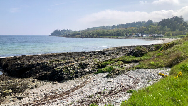
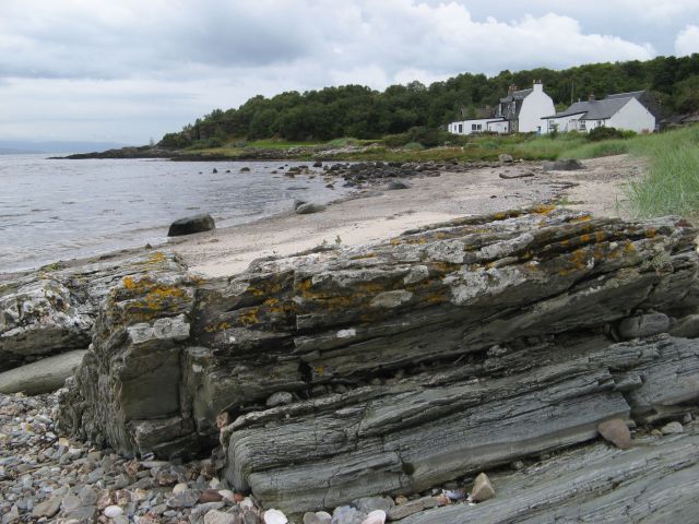
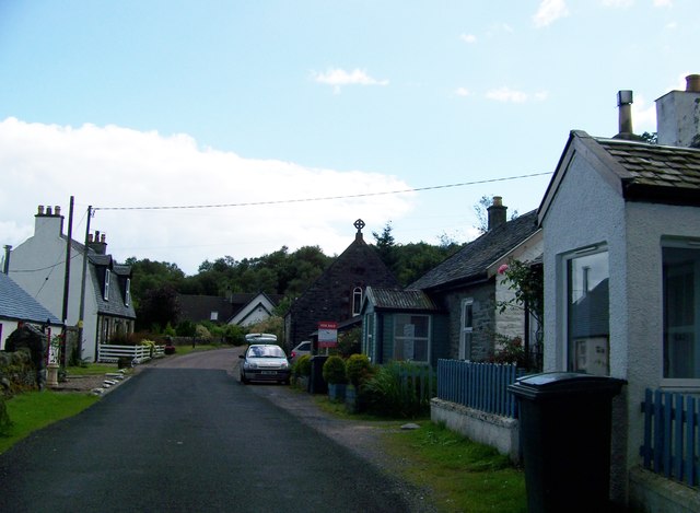
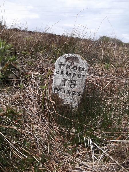
![Grogport From the Glasgow Herald, Monday 10 March 1851:
"It was at one time supposed that the low duty imposed upon spirits, the small allowance which is granted to regular distillers who make malt whisky, and the perfection to which the art of making the "mountain dew" has been brought by the legal manufacturer, together with the comprehensive and complete preventive system organized by those intrusted with this department of the revenue machinery, would have put an entire stop to all private malting and distilling. Not so, however. It would appeal that the present generation of Highlanders have a propensity to violate the laws of their country in this respect, which, if it be not as powerful as it was in their forefathers, is such, at any rate, as to render them incapable of resisting the temptation presented to them in the low price of grain, and the disproportionately high price which whisky continues to fetch in the market; for even in Kintyre, where high farming, sheep farming, and various other southern improvements are fast superseding the customs of the Celts, several smuggling operations have been detected on both sides of the country during the last few weeks.
"On the Caradale side, and about Grogport, the officer and cutter-men who have charge of that neighbourhood, have made four or five detections; ..."
Britishnewspaperarchive.co.uk. (2022). The Causes and Prospects Of Smuggling. | Glasgow Herald | Monday 10 March 1851 | British Newspaper Archive. [online] Available at: <span class="nowrap"><a title="https://www.britishnewspaperarchive.co.uk/viewer/bl/0000060/18510310/029/0006" rel="nofollow ugc noopener" href="https://www.britishnewspaperarchive.co.uk/viewer/bl/0000060/18510310/029/0006">Link</a><img style="margin-left:2px;" alt="External link" title="External link - shift click to open in new window" src="https://s1.geograph.org.uk/img/external.png" width="10" height="10"/></span> [Accessed 26 May 2022].
](https://s3.geograph.org.uk/geophotos/07/18/29/7182943_a562721f.jpg)
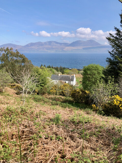
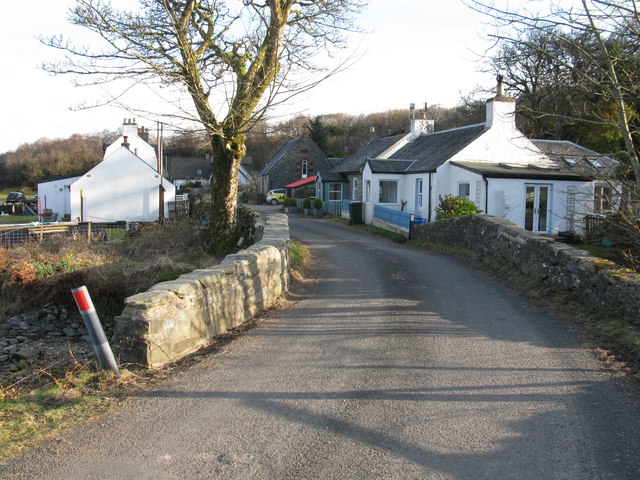
Port na h-Uamha, also known as Portnahaven, is a picturesque coastal village located on the west coast of the Isle of Islay in Argyllshire, Scotland. Situated at the mouth of the Singing Sands Bay, this charming settlement offers stunning views of the sea, estuary, and creek.
The village is nestled between rugged cliffs and rolling hills, providing a dramatic backdrop for visitors. The sea surrounding Port na h-Uamha is part of the Atlantic Ocean, with its crystal-clear waters reflecting shades of blue and green. It is a haven for marine life, attracting a variety of species such as dolphins, seals, and seabirds.
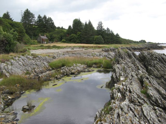
The village's estuary is formed by the convergence of the River Sorn and the Singing Sands Creek. The estuary is a dynamic ecosystem, characterized by its fluctuating water levels influenced by the tides. It supports a diverse range of plant and animal species, including saltmarsh grasses, wading birds, and shellfish.
The Singing Sands Creek is a small, meandering waterway that flows into the estuary. It gets its name from the unique sound produced when walking on its sandy banks, creating a musical effect. The creek is home to an array of aquatic life, including crabs, fish, and various species of mollusks.
Port na h-Uamha's natural beauty, combined with its rich biodiversity, makes it a popular destination for nature enthusiasts and photographers. Visitors can explore the sandy beaches, take leisurely walks along the coastline, or indulge in birdwatching and wildlife spotting.
If you have any feedback on the listing, please let us know in the comments section below.
Port na h-Uamha Images
Images are sourced within 2km of 55.646747/-5.47827 or Grid Reference NR8144. Thanks to Geograph Open Source API. All images are credited.


Port na h-Uamha is located at Grid Ref: NR8144 (Lat: 55.646747, Lng: -5.47827)
Unitary Authority: Argyll and Bute
Police Authority: Argyll and West Dunbartonshire
What 3 Words
///liners.crest.informer. Near Lochranza, North Ayrshire
Nearby Locations
Related Wikis
Grogport
Grogport (Scottish Gaelic: Gròb-phort) is a hamlet in Argyll and Bute, Scotland. It lies on the coast of Kintyre, on the Kilbrannan Sound, across from...

Torr Mor
Torr Mor is a hill peak landform on the coastal east side of the Kintyre Peninsula in Scotland. The peak offers views over the Kilbrannan Sound. The Forestry...

Kilbrannan Sound
Kilbrannan Sound (Scottish Gaelic: An Caolas Branndanach) is a marine water body that separates the Kintyre Peninsula of Scotland from the island of Arran...

Whitefarland
Whitefarland (Scottish Gaelic: An Aoirinn) is a clachan on the Isle of Arran in the Firth of Clyde, Scotland. It is located approximately 1 mile (2 kilometres...
Nearby Amenities
Located within 500m of 55.646747,-5.47827Have you been to Port na h-Uamha?
Leave your review of Port na h-Uamha below (or comments, questions and feedback).