Port Raoin Mhòir

Sea, Estuary, Creek in Argyllshire

Scotland

Port Raoin Mhòir

Forestry edge along the B842
Forestry edge along the B842 Credit: Mick Garratt

The requested URL returned error: 429 Too Many Requests

If you have any feedback on the listing, please let us know in the comments section below.

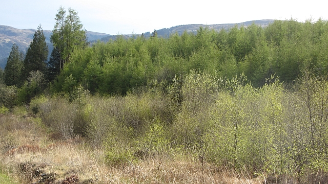
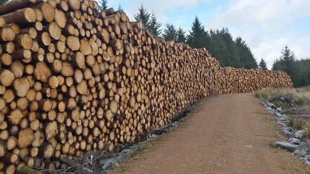
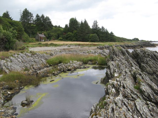
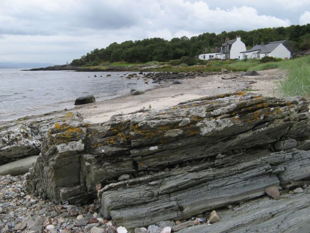
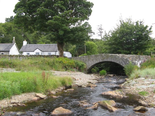
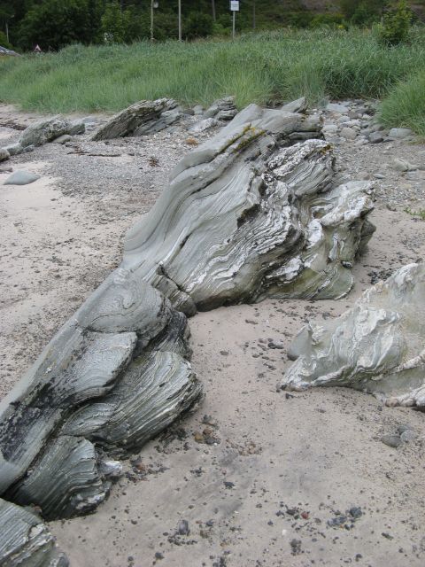
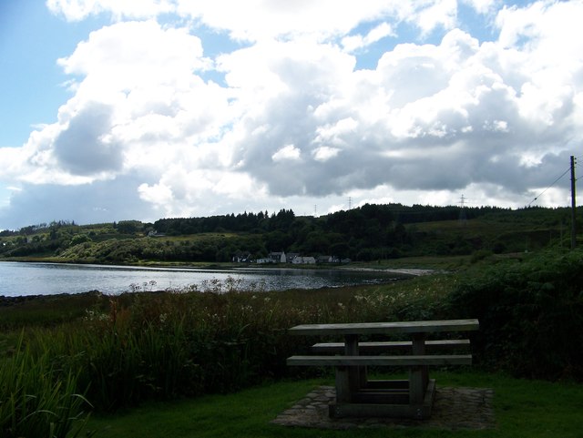
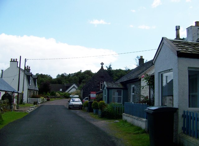
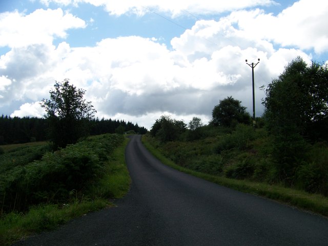
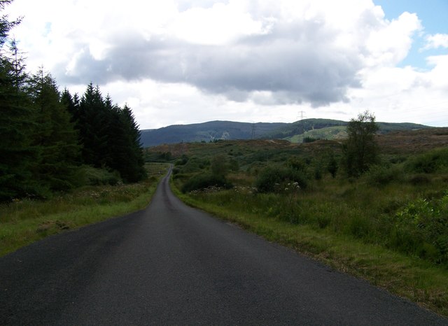
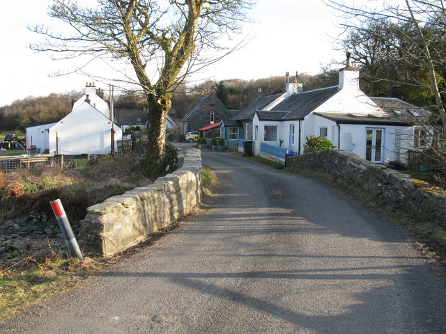
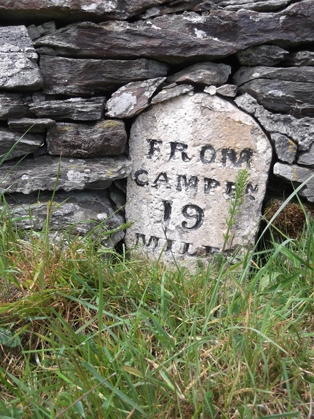
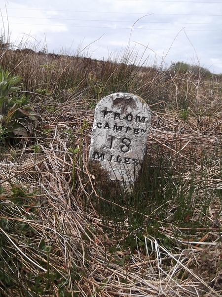
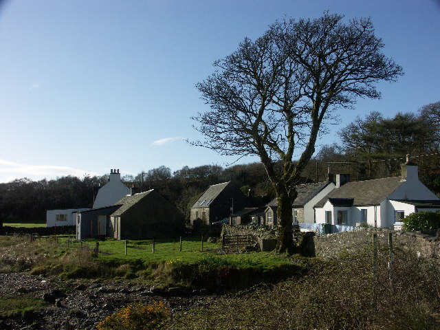
Port Raoin Mhòir Images

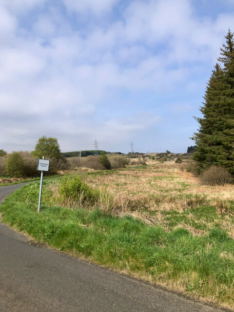
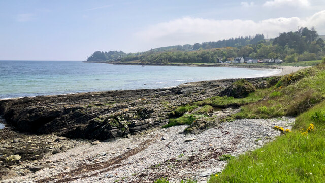
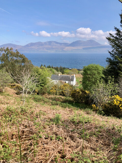
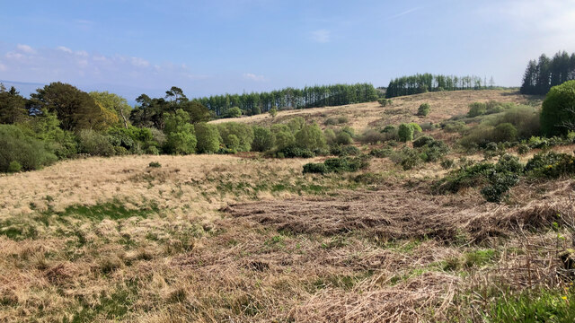
Images are sourced within 2km of 55.637111/-5.4787981 or Grid Reference NR8143. Thanks to Geograph Open Source API. All images are credited.

Forestry edge along the B842
Grogport From the Glasgow Herald, Monday 10 March 1851:

"It was at one time supposed that the low duty imposed upon spirits, the small allowance which is granted to regular distillers who make malt whisky, and the perfection to which the art of making the "mountain dew" has been brought by the legal manufacturer, together with the comprehensive and complete preventive system organized by those intrusted with this department of the revenue machinery, would have put an entire stop to all private malting and distilling. Not so, however. It would appeal that the present generation of Highlanders have a propensity to violate the laws of their country in this respect, which, if it be not as powerful as it was in their forefathers, is such, at any rate, as to render them incapable of resisting the temptation presented to them in the low price of grain, and the disproportionately high price which whisky continues to fetch in the market; for even in Kintyre, where high farming, sheep farming, and various other southern improvements are fast superseding the customs of the Celts, several smuggling operations have been detected on both sides of the country during the last few weeks. 

"On the Caradale side, and about Grogport, the officer and cutter-men who have charge of that neighbourhood, have made four or five detections; ..."

Britishnewspaperarchive.co.uk. (2022). The Causes and Prospects Of Smuggling. | Glasgow Herald | Monday 10 March 1851 | British Newspaper Archive. [online] Available at: <span class="nowrap"><a title="https://www.britishnewspaperarchive.co.uk/viewer/bl/0000060/18510310/029/0006" rel="nofollow ugc noopener" href="https://www.britishnewspaperarchive.co.uk/viewer/bl/0000060/18510310/029/0006">Link</a><img style="margin-left:2px;" alt="External link" title="External link - shift click to open in new window" src="https://s1.geograph.org.uk/img/external.png" width="10" height="10"/></span> [Accessed 26 May 2022].

‌
Grogport
From the Glasgow Herald, Monday 10 March 1851: "It was at one time supposed that the low duty imposed upon spirits, the small allowance which is granted to regular distillers who make malt whisky, and the perfection to which the art of making the "mountain dew" has been brought by the legal manufacturer, together with the comprehensive and complete preventive system organized by those intrusted with this department of the revenue machinery, would have put an entire stop to all private malting and distilling. Not so, however. It would appeal that the present generation of Highlanders have a propensity to violate the laws of their country in this respect, which, if it be not as powerful as it was in their forefathers, is such, at any rate, as to render them incapable of resisting the temptation presented to them in the low price of grain, and the disproportionately high price which whisky continues to fetch in the market; for even in Kintyre, where high farming, sheep farming, and various other southern improvements are fast superseding the customs of the Celts, several smuggling operations have been detected on both sides of the country during the last few weeks. "On the Caradale side, and about Grogport, the officer and cutter-men who have charge of that neighbourhood, have made four or five detections; ..." Britishnewspaperarchive.co.uk. (2022). The Causes and Prospects Of Smuggling. | Glasgow Herald | Monday 10 March 1851 | British Newspaper Archive. [online] Available at: LinkExternal link [Accessed 26 May 2022]. ‌
Garrachcroit Bàgh
Garrachcroit Bàgh
Sunadale Cottage
Sunadale Cottage
Hillside above Grogport
Woodland, Brackley A replanted conifer plantation.
Woodland, Brackley
A replanted conifer plantation.
Timber Extraction South of Grogport Fresh cut and stacked timber prior to removal by articulated lorries.
Timber Extraction South of Grogport
Fresh cut and stacked timber prior to removal by articulated lorries.
Coast by Sunadale Looking across coastal rocks and Port na h-Uamha to the derelict croft of Sunadale.
Coast by Sunadale
Looking across coastal rocks and Port na h-Uamha to the derelict croft of Sunadale.
Rocks and cottages, Grogport The shore at Grogport is very attractive, with a good mix of sand and rock outcrop. The varied roof profiles of the distant cottages are unusual.
Rocks and cottages, Grogport
The shore at Grogport is very attractive, with a good mix of sand and rock outcrop. The varied roof profiles of the distant cottages are unusual.
Bridge over the Grogport Burn The fine bridge shows signs of recent repairs, which were not particularly sympathetic since the stone utilised is quite alien to the original structure.
Bridge over the Grogport Burn
The fine bridge shows signs of recent repairs, which were not particularly sympathetic since the stone utilised is quite alien to the original structure.
Folded schist Outcrops of Dalradian schist on the beach are wonderfully eroded and cleaned by wave action. Gentle folding and significant shear stress have resulted in the injection of white quartz veins which emphasise the foliation and localisation of strain during metamorphism.
Folded schist
Outcrops of Dalradian schist on the beach are wonderfully eroded and cleaned by wave action. Gentle folding and significant shear stress have resulted in the injection of white quartz veins which emphasise the foliation and localisation of strain during metamorphism.
Grogport Picnic site
Grogport village
Grogport village
B842 to Carradale
B842 to Carradale
B842 to Carradale
B842 to Carradale
Grogport Grogport is a tiny hamlet on the B842 north of Carradale on the east coast of the Kintyre Peninsula.
Grogport
Grogport is a tiny hamlet on the B842 north of Carradale on the east coast of the Kintyre Peninsula.
Old Milestone by the B842, north of Grogport, Saddell and Skipness Parish By the B842, in parish of Saddell and Skipness (Kintyre District), Grogport, set into stone wall by gate to Acra.

Inscription reads:-
FROM
CAMPBN
19
MILES

Surveyed

Milestone Society National ID: AB_CTCN19
Old Milestone by the B842, north of Grogport, Saddell and Skipness Parish
By the B842, in parish of Saddell and Skipness (Kintyre District), Grogport, set into stone wall by gate to Acra. Inscription reads:- FROM CAMPBN 19 MILES Surveyed Milestone Society National ID: AB_CTCN19
Old Milestone by the B842, near Grogport Milestone by the B842, in parish of Saddell and Skipness (Kintyre District), 1 mile South of Grogport, across ditch, opposite the edge of forestry opposite.

Inscription reads:-
FROM
CAMPBᴺ
18
MILES
Carved bench mark on top.

Surveyed

Milestone Society National ID: AB_CTCN18
Old Milestone by the B842, near Grogport
Milestone by the B842, in parish of Saddell and Skipness (Kintyre District), 1 mile South of Grogport, across ditch, opposite the edge of forestry opposite. Inscription reads:- FROM CAMPBᴺ 18 MILES Carved bench mark on top. Surveyed Milestone Society National ID: AB_CTCN18
Show me another place!

Port Raoin Mhòir is located at Grid Ref: NR8143 (Lat: 55.637111, Lng: -5.4787981)

Unitary Authority: Argyll and Bute

Police Authority: Argyll and West Dunbartonshire

What 3 Words

///gets.stung.dimension. Near Lochranza, North Ayrshire

Related Wikis

Grogport

Grogport (Scottish Gaelic: Gròb-phort) is a hamlet in Argyll and Bute, Scotland. It lies on the coast of Kintyre, on the Kilbrannan Sound, across from...

Torr Mor

Torr Mor is a hill peak landform on the coastal east side of the Kintyre Peninsula in Scotland. The peak offers views over the Kilbrannan Sound. The Forestry...

Kilbrannan Sound

Kilbrannan Sound (Scottish Gaelic: An Caolas Branndanach) is a marine water body that separates the Kintyre Peninsula of Scotland from the island of Arran...

Carradale

Carradale (Scottish Gaelic: Càradal, pronounced [ˈkʰaːrˠət̪əl̪ˠ]) is a village on the east side of Kintyre, overlooking the Kilbrannan Sound and the west...

Nearby Amenities

Located within 500m of 55.637111,-5.4787981
Source: PGS
Lat/Long: 55.6404503/-5.4806062
Source: PGS
Lat/Long: 55.6406094/-5.480531
Source: PGS
Lat/Long: 55.6407933/-5.4806901
Source: PGS
Lat/Long: 55.6408751/-5.4807924
Source: PGS
Lat/Long: 55.6410651/-5.4809879
Source: PGS
Lat/Long: 55.6372785/-5.479785
Source: PGS
Lat/Long: 55.6385107/-5.4793509
Source: PGS
Lat/Long: 55.6387235/-5.4795105
Source: PGS
Lat/Long: 55.6392636/-5.4795557
Source: Landsat photo
Lat/Long: 55.6413902/-5.4810586
Source: Landsat photo
Lat/Long: 55.6394807/-5.4798971
Source: Landsat photo
Lat/Long: 55.6403919/-5.4806025
Source: Landsat photo
Lat/Long: 55.6372446/-5.4799718
Source: Landsat photo
Lat/Long: 55.6353159/-5.4776033
Source: Landsat photo
Lat/Long: 55.6344823/-5.4769615
Source: Landsat photo
Lat/Long: 55.6342563/-5.4766791
Source: Landsat photo
Lat/Long: 55.6340922/-5.4766118
Source: Landsat photo
Lat/Long: 55.6330168/-5.4766969
The data included in this document is from www.openstreetmap.org. The data is made available under ODbL.

Have you been to Port Raoin Mhòir?

Leave your review of Port Raoin Mhòir below (or comments, questions and feedback).