Jeffry's Haven
Sea, Estuary, Creek in Pembrokeshire
Wales
Jeffry's Haven
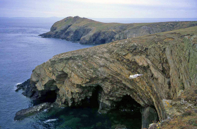
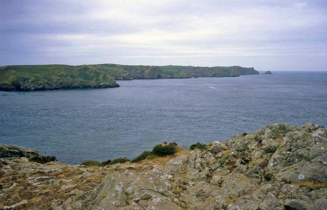
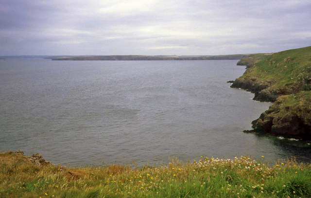
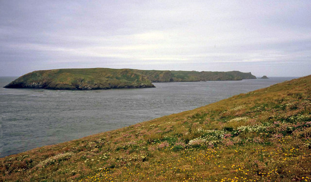
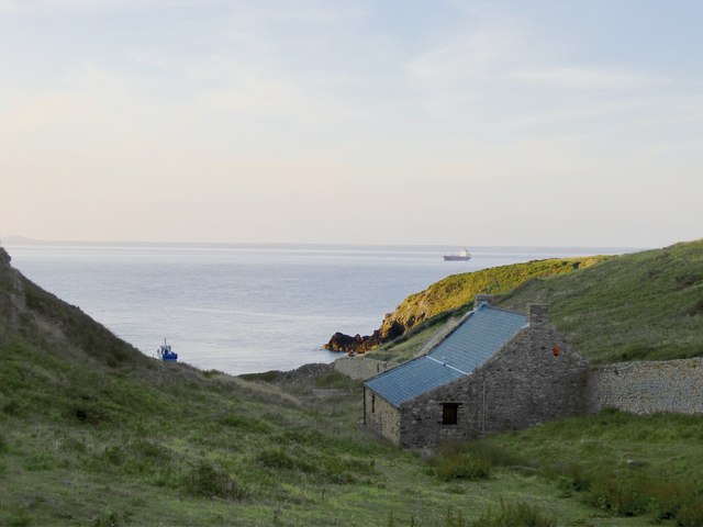
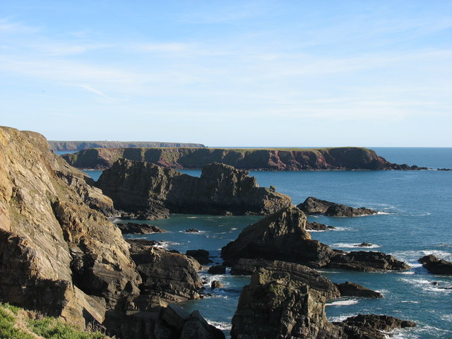
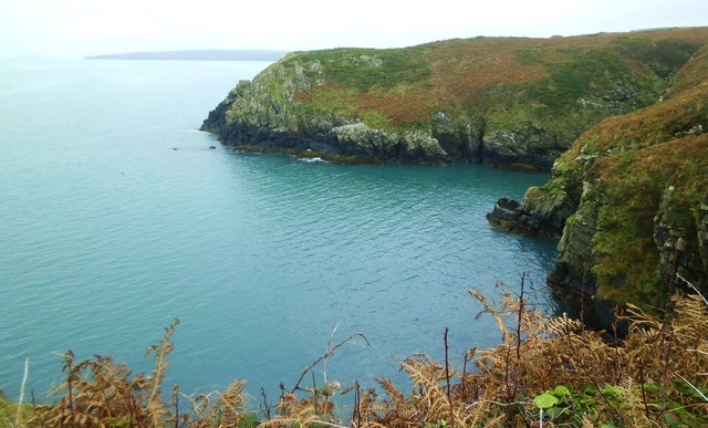
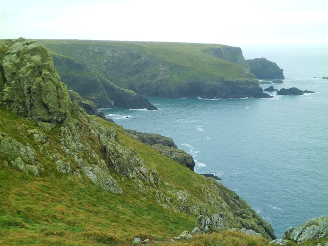
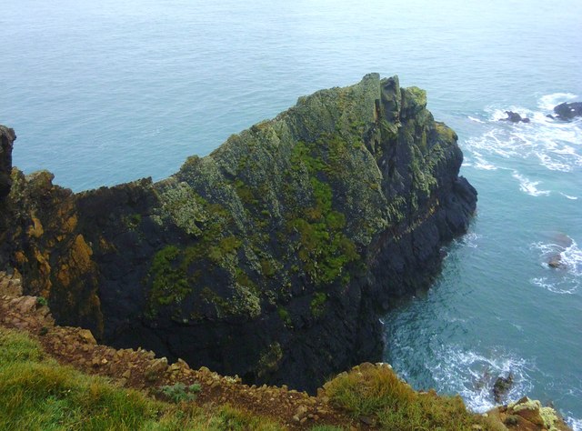
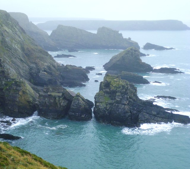
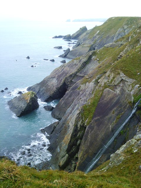
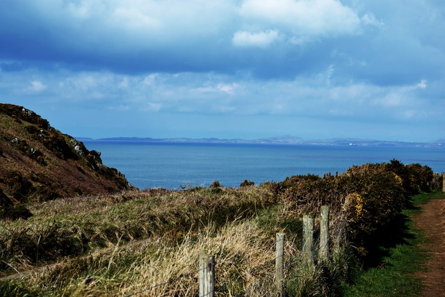
Jeffry's Haven is a picturesque coastal area located in Pembrokeshire, Wales. The haven is situated along the stunning coastline of the Pembrokeshire Coast National Park, offering visitors breathtaking views of the sea, estuary, and creek.
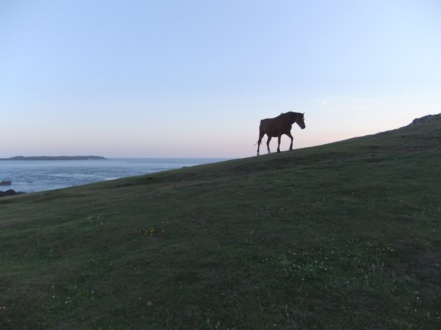
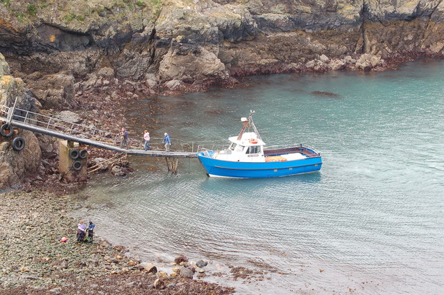
The area is known for its tranquil and unspoiled natural beauty, making it a popular destination for nature lovers and outdoor enthusiasts. The crystal-clear waters of the sea provide an ideal spot for swimming, kayaking, and paddleboarding, while the estuary and creek offer opportunities for birdwatching and fishing.
Jeffry's Haven is home to a diverse range of marine wildlife, including seals, dolphins, and seabirds, making it a haven for wildlife enthusiasts. The surrounding cliffs and rock formations provide a dramatic backdrop to the area, adding to its charm and appeal.
Visitors to Jeffry's Haven can enjoy leisurely walks along the coastal paths, taking in the stunning scenery and soaking up the peaceful atmosphere. The area also boasts a number of quaint cottages and bed and breakfasts, providing a comfortable and cozy base for exploring the surrounding area.
If you have any feedback on the listing, please let us know in the comments section below.
Jeffry's Haven Images
Images are sourced within 2km of 51.735894/-5.2516404 or Grid Reference SM7509. Thanks to Geograph Open Source API. All images are credited.

Jeffry's Haven is located at Grid Ref: SM7509 (Lat: 51.735894, Lng: -5.2516404)
Unitary Authority: Pembrokeshire
Police Authority: Dyfed Powys
What 3 Words
///nurtures.lorry.shaky. Near Dale, Pembrokeshire
Nearby Locations
Related Wikis

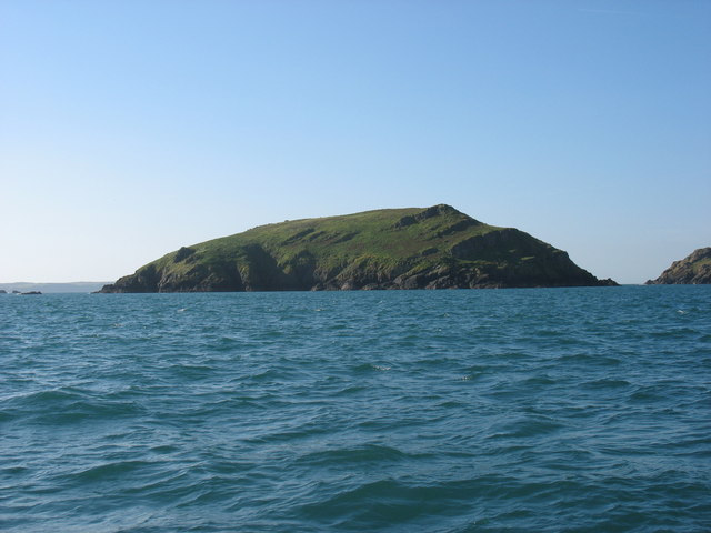
Martin's Haven
Martin's Haven is a small bay in Pembrokeshire, Wales, UK, on the Dale Peninsula, with views across St Bride's Bay towards St David's. Its shingle beach...

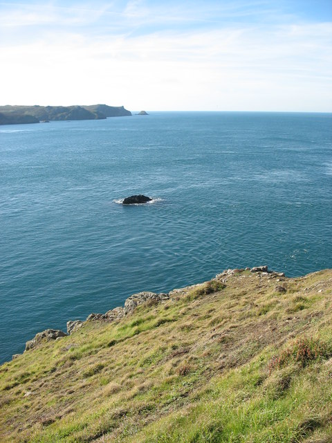
Jack Sound
Jack Sound is a treacherous body of water about 800 metres (2,600 ft) wide between the island of Skomer and the Pembrokeshire mainland that contains numerous...

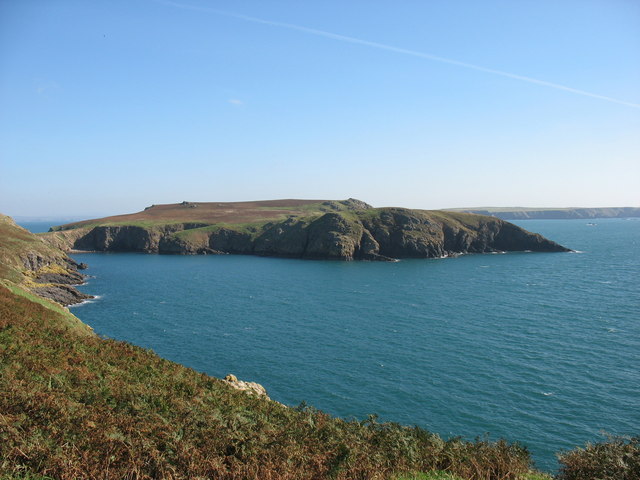
Middleholm
Middleholm, also known as Midland Isle, is a small island lying off southwest Pembrokeshire in Wales, between the island of Skomer and the mainland in...

Skomer Marine Conservation Zone
Skomer Marine Conservation Zone is an underwater marine nature reserve located off the coast of Pembrokeshire in Wales. The nature reserve completely surrounds...
Nearby Amenities
Located within 500m of 51.735894,-5.2516404Have you been to Jeffry's Haven?
Leave your review of Jeffry's Haven below (or comments, questions and feedback).