Amy's Reach
Sea, Estuary, Creek in Pembrokeshire
Wales
Amy's Reach
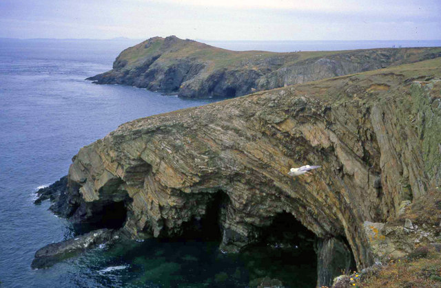
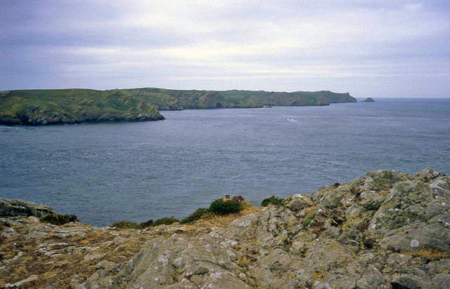
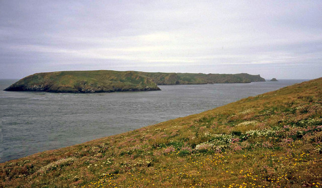
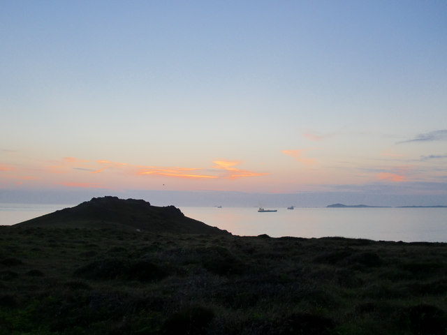
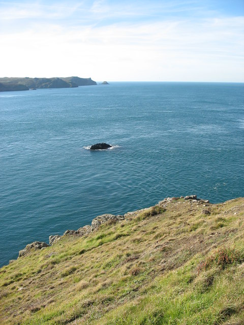
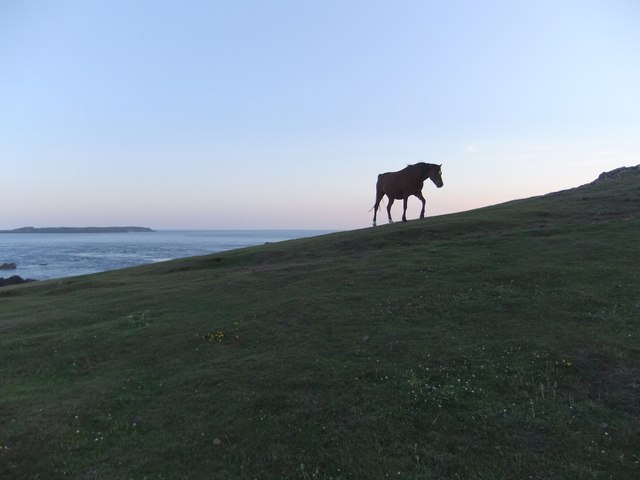
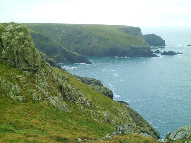
Amy's Reach is a picturesque coastal area located in Pembrokeshire, Wales. Situated along the shores of the Celtic Sea, Amy's Reach offers stunning views of the surrounding natural beauty. The area is characterized by its diverse landscape, which includes a sea, estuary, and creek.
The sea at Amy's Reach is a vast expanse of crystal-clear water, offering visitors the opportunity to engage in various water-based activities such as swimming, snorkeling, and fishing. The beach is sandy and well-maintained, making it a popular spot for sunbathing and picnicking.
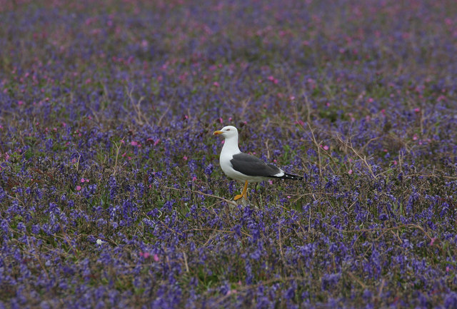
Adjacent to the sea is the estuary, a partially enclosed body of water where the river meets the sea. The estuary is a haven for birdwatchers and nature enthusiasts, as it serves as a habitat for a wide array of bird species. Visitors can witness the beauty of migratory birds and observe them in their natural environment.
Further inland, the creek at Amy's Reach meanders through the landscape, providing a serene and tranquil setting. The creek is surrounded by lush vegetation and offers opportunities for kayaking, canoeing, and wildlife spotting. Exploring the creek's winding path is a delightful experience, as it leads visitors through reed beds and marshes, creating a sense of adventure and exploration.
Overall, Amy's Reach in Pembrokeshire offers a unique combination of sea, estuary, and creek, making it a haven for outdoor enthusiasts and nature lovers. Whether one seeks relaxation on the sandy beach, birdwatching in the estuary, or exploring the meandering creek, Amy's Reach promises an unforgettable experience in the lap of nature.
If you have any feedback on the listing, please let us know in the comments section below.
Amy's Reach Images
Images are sourced within 2km of 51.733759/-5.277011 or Grid Reference SM7308. Thanks to Geograph Open Source API. All images are credited.


Amy's Reach is located at Grid Ref: SM7308 (Lat: 51.733759, Lng: -5.277011)
Unitary Authority: Pembrokeshire
Police Authority: Dyfed Powys
What 3 Words
///geek.blocks.admiral. Near Dale, Pembrokeshire
Nearby Locations
Related Wikis

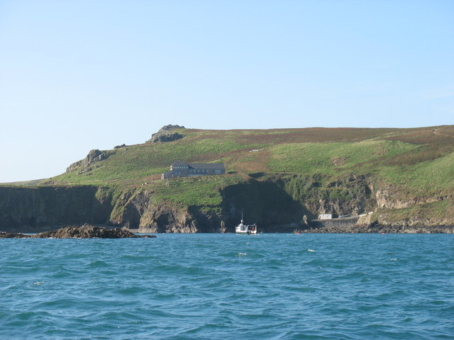
Skomer Marine Conservation Zone
Skomer Marine Conservation Zone is an underwater marine nature reserve located off the coast of Pembrokeshire in Wales. The nature reserve completely surrounds...

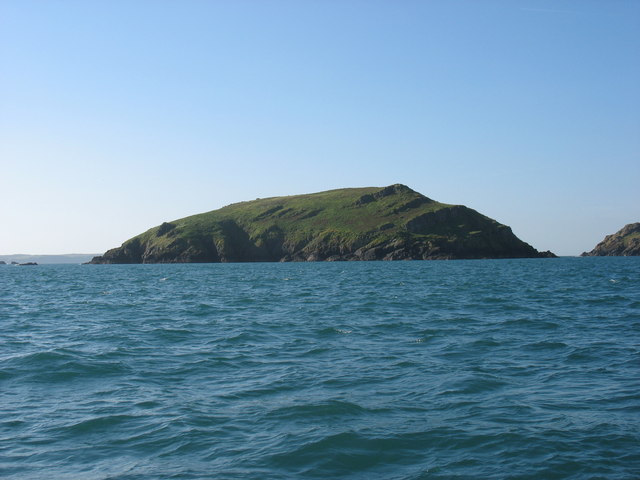
Middleholm
Middleholm, also known as Midland Isle, is a small island lying off southwest Pembrokeshire in Wales, between the island of Skomer and the mainland in...

Jack Sound
Jack Sound is a treacherous body of water about 800 metres (2,600 ft) wide between the island of Skomer and the Pembrokeshire mainland that contains numerous...

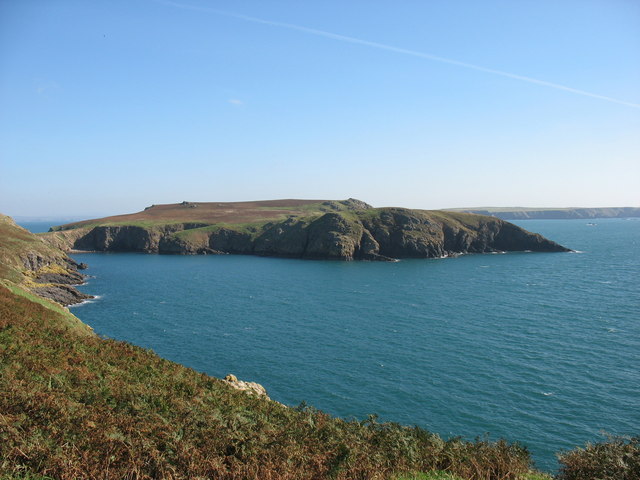
Skomer
Skomer (Welsh: Ynys Sgomer) or Skomer Island is an island off the coast of Pembrokeshire, in the community of Marloes and St Brides in west Wales. It is...
Nearby Amenities
Located within 500m of 51.733759,-5.277011Have you been to Amy's Reach?
Leave your review of Amy's Reach below (or comments, questions and feedback).