Holseer Cove
Sea, Estuary, Creek in Cornwall
England
Holseer Cove
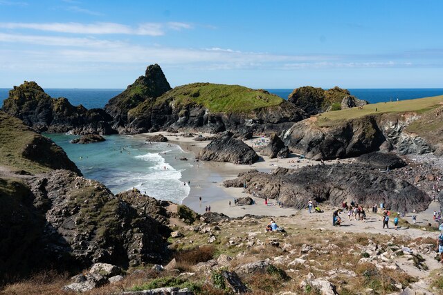
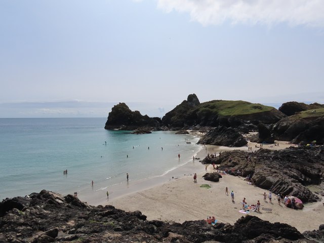
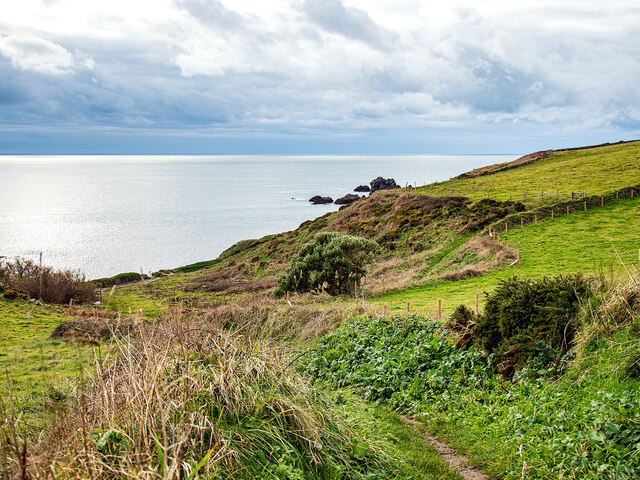
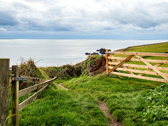
Holseer Cove is a picturesque coastal area located in Cornwall, England. Situated on the southwestern tip of the country, this stunning cove offers a blend of sea, estuary, and creek landscapes that attract visitors from near and far.
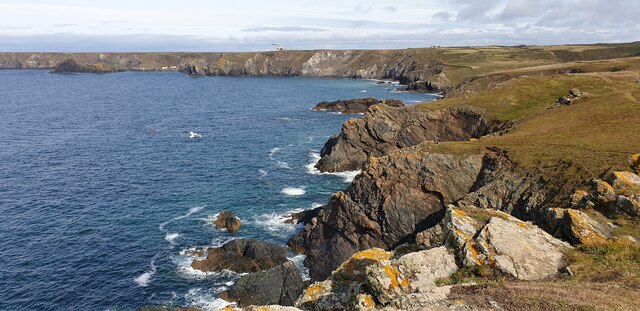
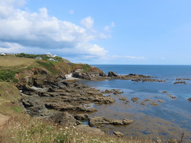
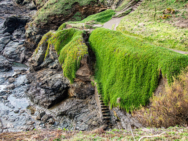
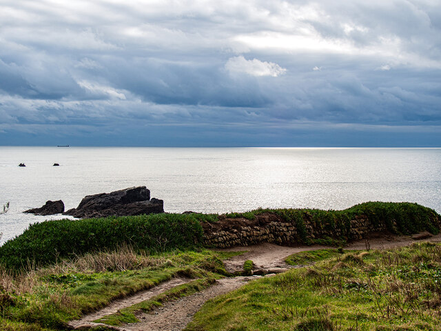
The cove is nestled between towering cliffs, providing a dramatic backdrop to the serene waters. Its sandy beach stretches along the coastline, inviting beachgoers to relax and enjoy the refreshing sea breeze. The crystal-clear waters of the cove make it an ideal spot for swimming, snorkeling, and other water activities.
One of the unique features of Holseer Cove is its estuary. As a result of the convergence of a river and the sea, the estuary boasts a diverse ecosystem. It is home to a variety of marine life, including fish, crabs, and seabirds. The estuary also offers an excellent opportunity for birdwatching, as many species flock to the area throughout the year.
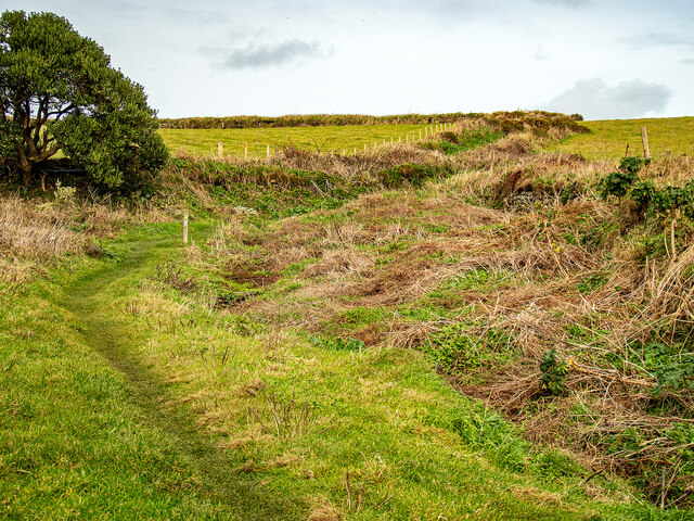
In addition to the estuary, a meandering creek flows through Holseer Cove. This tranquil waterway provides a serene setting for kayaking, paddleboarding, or simply taking a leisurely stroll along its banks. The creek is lined with lush vegetation, adding to the area's natural beauty.
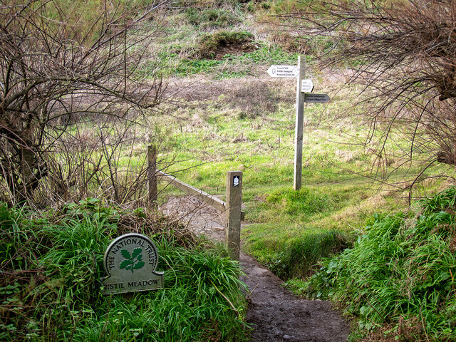
Holseer Cove is a popular destination for nature lovers and outdoor enthusiasts. Its combination of sandy beaches, estuary, and creek provides a diverse range of activities and stunning scenery. Whether visitors are seeking relaxation on the beach or an adventure on the water, Holseer Cove offers something for everyone.
If you have any feedback on the listing, please let us know in the comments section below.
Holseer Cove Images
Images are sourced within 2km of 49.96472/-5.2160584 or Grid Reference SW6912. Thanks to Geograph Open Source API. All images are credited.


Holseer Cove is located at Grid Ref: SW6912 (Lat: 49.96472, Lng: -5.2160584)
Unitary Authority: Cornwall
Police Authority: Devon and Cornwall
What 3 Words
///discrepancy.inspects.loss. Near Landewednack, Cornwall
Nearby Locations
Related Wikis

Pentreath
Higher Pentreath and Lower Pentreath (Cornish: Penntreth, representing penn an treth, meaning head (of) the beach) are hamlets to the west of Praa Sands...
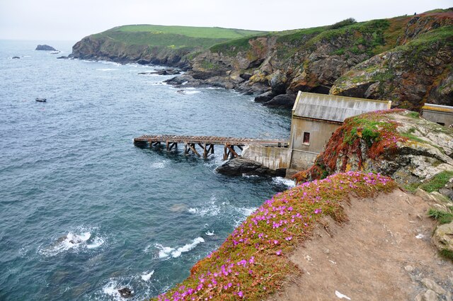
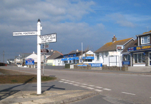
Lizard Point, Cornwall
Lizard Point (from Cornish an Lysardh 'the high court') in Cornwall is at the southern tip of the Lizard Peninsula. It is situated half-a-mile (800 m...
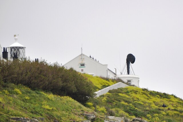
Lizard Lighthouse
The Lizard Lighthouse is a lighthouse at Lizard Point, Cornwall, England, built to guide vessels passing through the English Channel. It was often the...
Lizard (village)
Lizard, also known as The Lizard, is a village on the Lizard peninsula in Cornwall, England, United Kingdom. It is situated about ten miles (16 km) south...
Nearby Amenities
Located within 500m of 49.96472,-5.2160584Have you been to Holseer Cove?
Leave your review of Holseer Cove below (or comments, questions and feedback).