Llanfaelog
Settlement in Anglesey
Wales
Llanfaelog
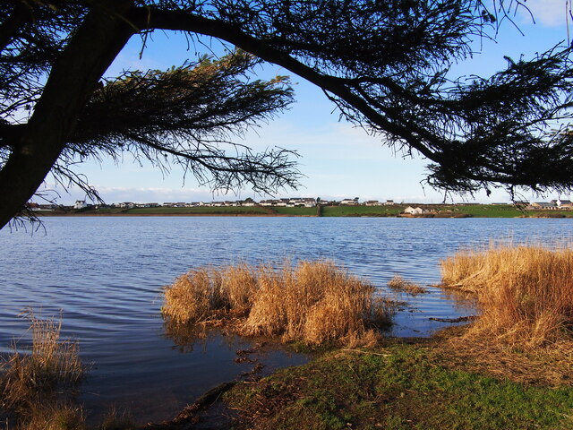
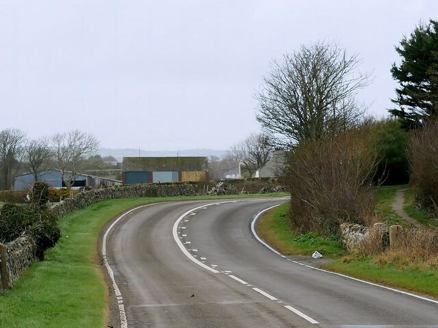
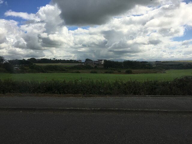
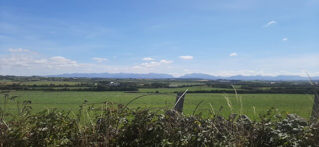
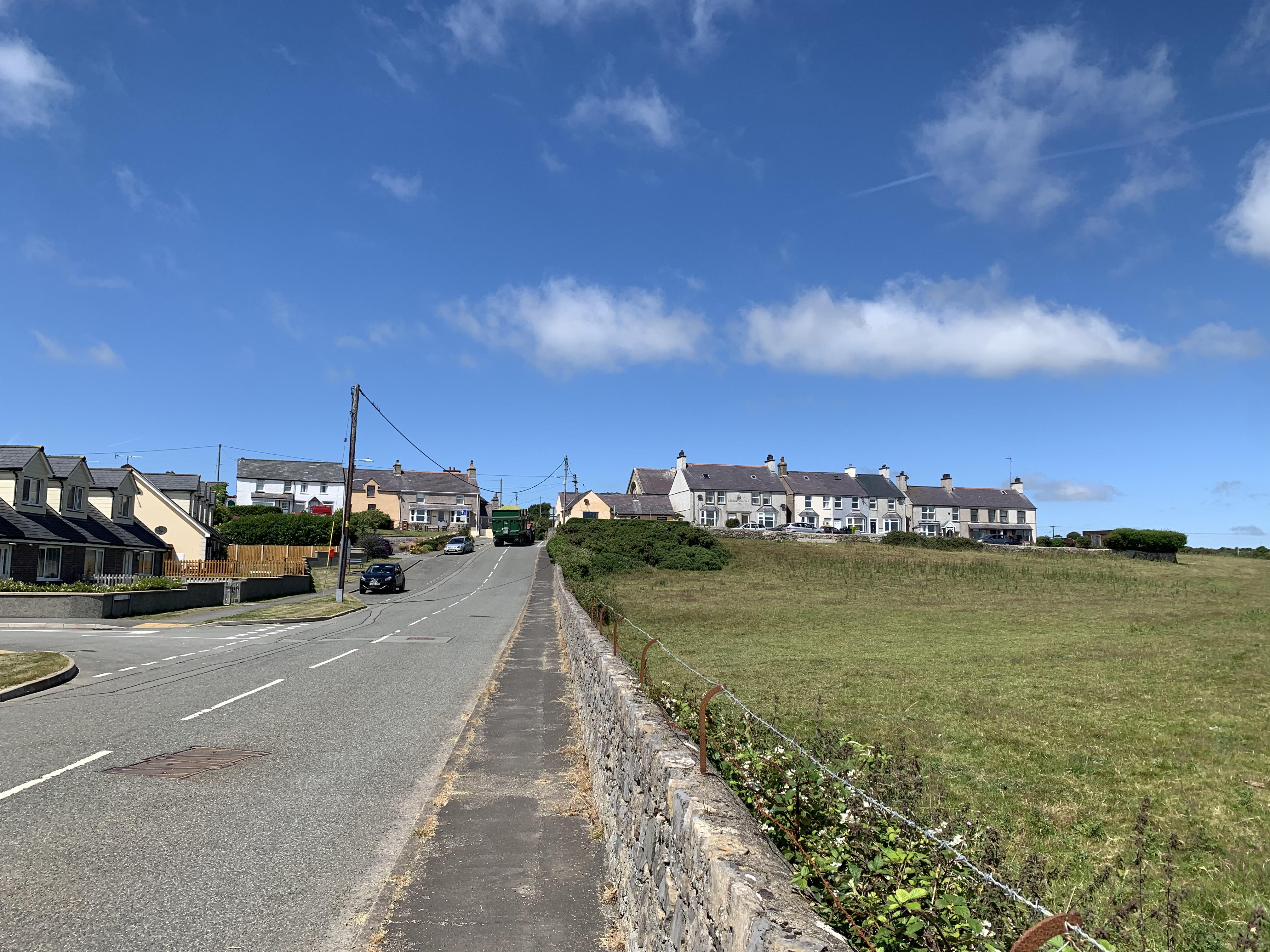
Llanfaelog is a small village located on the western coast of the Isle of Anglesey in Wales. Situated just a few miles south of Holyhead, it is surrounded by picturesque countryside and offers stunning views of the Irish Sea to the west.
The village is known for its rich history, with evidence of human settlement dating back to the Neolithic period. Llanfaelog is home to St. Maelog's Church, a 14th-century place of worship that stands as a testament to the area's longstanding religious heritage. The church is also famous for its beautifully carved Celtic cross, which attracts visitors from far and wide.
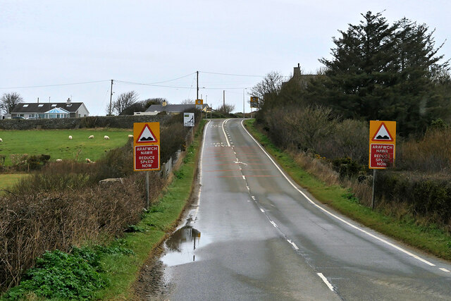
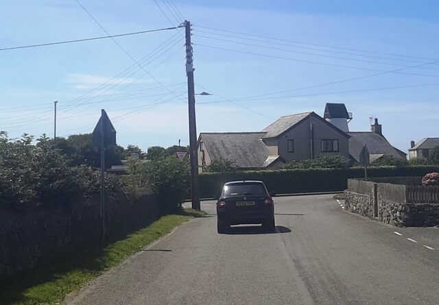
Llanfaelog is a close-knit community, with a population of around 500 residents. The village is primarily residential, with a scattering of small businesses and local amenities. Despite its small size, Llanfaelog is well-served by public transportation, making it easily accessible for both residents and visitors.
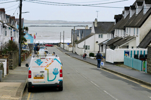
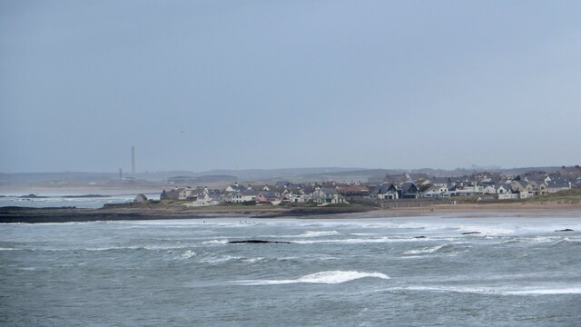
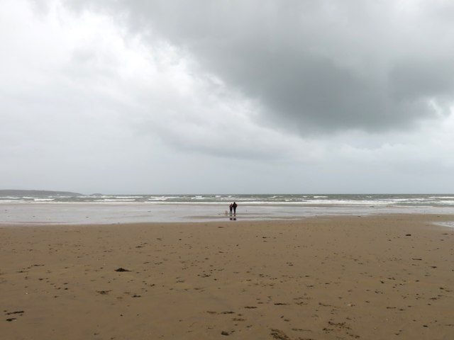
The surrounding area offers plenty of opportunities for outdoor activities and exploration. The nearby Rhosneigr Beach is a popular spot for water sports enthusiasts, with its sandy shores and strong winds attracting surfers, kiteboarders, and sailors. Additionally, the village is located near the stunning Anglesey Coastal Path, which provides breathtaking walks along the coastline.
Llanfaelog is a peaceful and charming village, perfect for those seeking a tranquil escape or a gateway to explore the natural beauty of Anglesey. With its rich history, stunning landscape, and friendly community, it is a hidden gem waiting to be discovered.
If you have any feedback on the listing, please let us know in the comments section below.
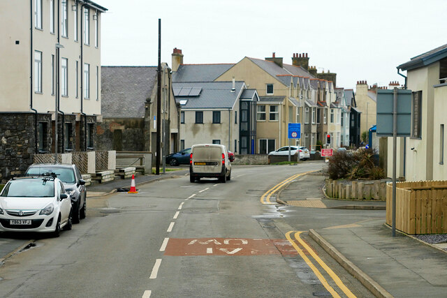
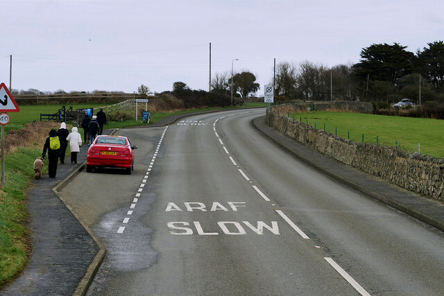
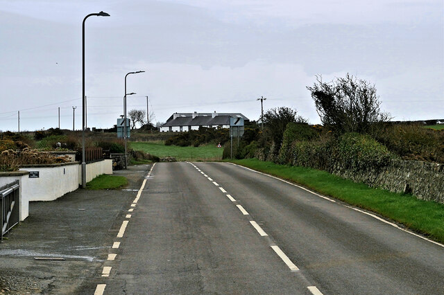
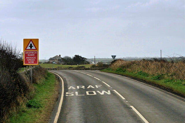
Llanfaelog Images
Images are sourced within 2km of 53.227335/-4.491384 or Grid Reference SH3372. Thanks to Geograph Open Source API. All images are credited.


Llanfaelog is located at Grid Ref: SH3372 (Lat: 53.227335, Lng: -4.491384)
Unitary Authority: Isle of Anglesey
Police Authority: North Wales
What 3 Words
///dispenser.however.remover. Near Rhosneigr, Isle of Anglesey
Nearby Locations
Related Wikis

St Maelog's Church, Llanfaelog
St Maelog's Church is a church in the village of Llanfaelog, situated in the Isle of Anglesey, Wales. The present building dates from the 19th century...

Llanfaelog
Llanfaelog is a village and community in western Anglesey, Wales. It is situated some 13 kilometres south-east of Holyhead and 22 kilometres west of the...
Bryn Du
Bryn Du (meaning: Black Hill) is a village in Anglesey, in north-west Wales. The village is situated about 1 mile from Rhosneigr and in the community of...
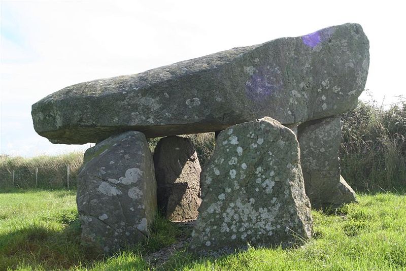
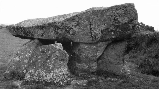
Tŷ Newydd Burial Chamber
Tŷ Newydd Burial Chamber is a Neolithic dolmen located northeast of the village of Llanfaelog on the Isle of Anglesey in Wales. It is located near Tŷ Newydd...
Tŷ Croes
Tŷ Croes (Welsh pronunciation: [tɨː ˈkroːɨ̯s] ) is a small settlement two miles east of Rhosneigr, Anglesey, Wales. It was, for a short time, the home...

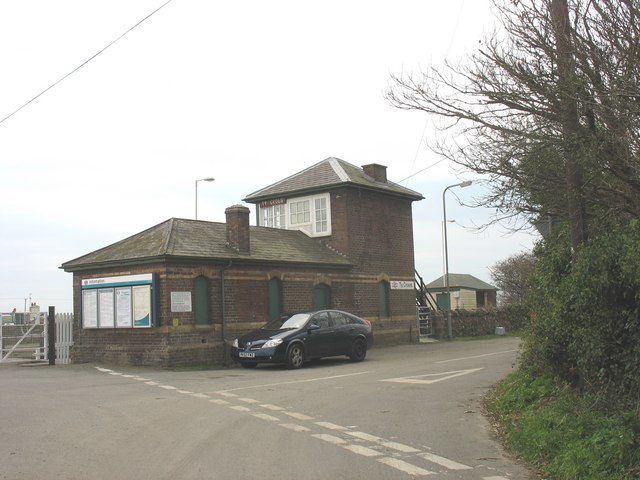
Tŷ Croes railway station
Tŷ Croes railway station serves Tŷ Croes on the isle of Anglesey, Wales which is served by Transport for Wales Rail and is a request stop. == History... ==

Rhosneigr railway station
Rhosneigr railway station serves the village of Rhosneigr on the Isle of Anglesey, off the coast of north Wales. The unstaffed station is managed by Transport...

Pencarnisiog
Pencarnisiog is a village in the community of Llanfaelog, Anglesey, Wales, which is 132.9 miles (213.8 km) from Cardiff and 218.5 miles (351.6 km) from...
Nearby Amenities
Located within 500m of 53.227335,-4.491384Have you been to Llanfaelog?
Leave your review of Llanfaelog below (or comments, questions and feedback).