Port an Tigh-shalainn
Sea, Estuary, Creek in Argyllshire
Scotland
Port an Tigh-shalainn
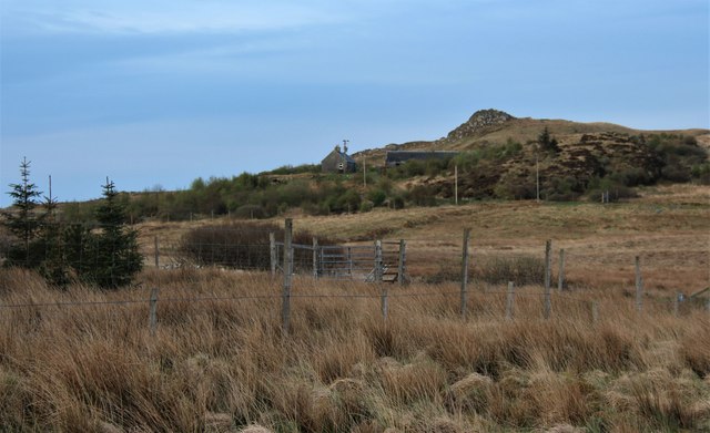
Port an Tigh-shalainn is a picturesque coastal village located in Argyllshire, Scotland. Nestled along the shores of a tranquil sea, this idyllic settlement offers breathtaking views of the surrounding natural beauty. The name "Port an Tigh-shalainn" translates to "Port of the Willow House" in English, reflecting the traditional Scottish architecture and the presence of willow trees in the area.
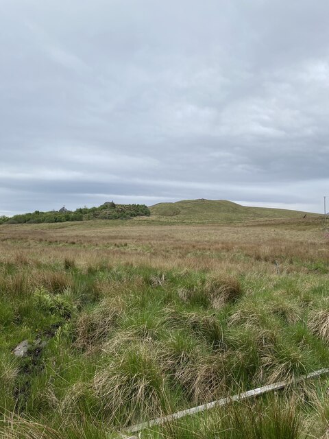
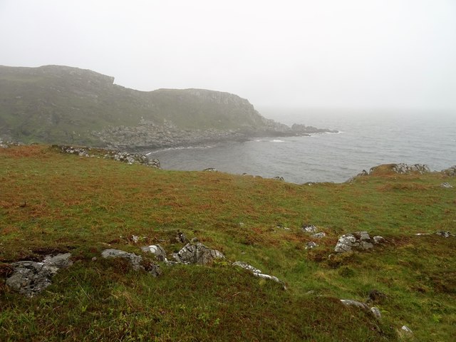
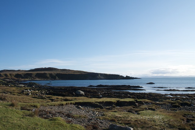
The village is situated at the mouth of a meandering estuary, where the pristine waters of the sea meet a gently flowing creek. This unique geographical feature creates a diverse ecosystem, attracting a wide array of marine life and bird species. The estuary serves as a vital habitat for a variety of fish, making it a popular spot for anglers and nature enthusiasts alike.
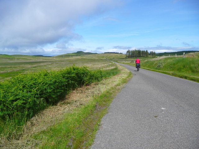
Port an Tigh-shalainn offers a peaceful retreat for those seeking to escape the hustle and bustle of city life. Visitors can enjoy leisurely walks along the sandy beaches, taking in the fresh sea air and listening to the soothing sounds of the waves crashing against the shore. The village is also a gateway to nearby islands, providing opportunities for boat trips and exploration of the surrounding archipelago.
In addition to its natural beauty, Port an Tigh-shalainn boasts a rich cultural heritage. The village is home to several historical landmarks, including an ancient castle ruin that dates back to the medieval era. Local festivals and events celebrate the region's Gaelic traditions, showcasing traditional music, dance, and cuisine.
Overall, Port an Tigh-shalainn offers a harmonious blend of stunning natural landscapes, diverse wildlife, and vibrant cultural heritage, making it a must-visit destination for those seeking a truly authentic Scottish experience.
If you have any feedback on the listing, please let us know in the comments section below.
Port an Tigh-shalainn Images
Images are sourced within 2km of 55.794181/-5.9896157 or Grid Reference NR5062. Thanks to Geograph Open Source API. All images are credited.


Port an Tigh-shalainn is located at Grid Ref: NR5062 (Lat: 55.794181, Lng: -5.9896157)
Unitary Authority: Argyll and Bute
Police Authority: Argyll and West Dunbartonshire
What 3 Words
///export.pythons.raking. Near Craighouse, Argyll & Bute
Nearby Locations
Related Wikis

Ardfin
Ardfin is a country estate on the island of Jura, Inner Hebrides, Scotland. It is situated at the southern tip of the island, between Feolin and Craighouse...

Claig Castle
Claig Castle was a stronghold of the Clan Donald or MacDonald in the south of Scotland. == History == The castle was once a massive fort described as a...
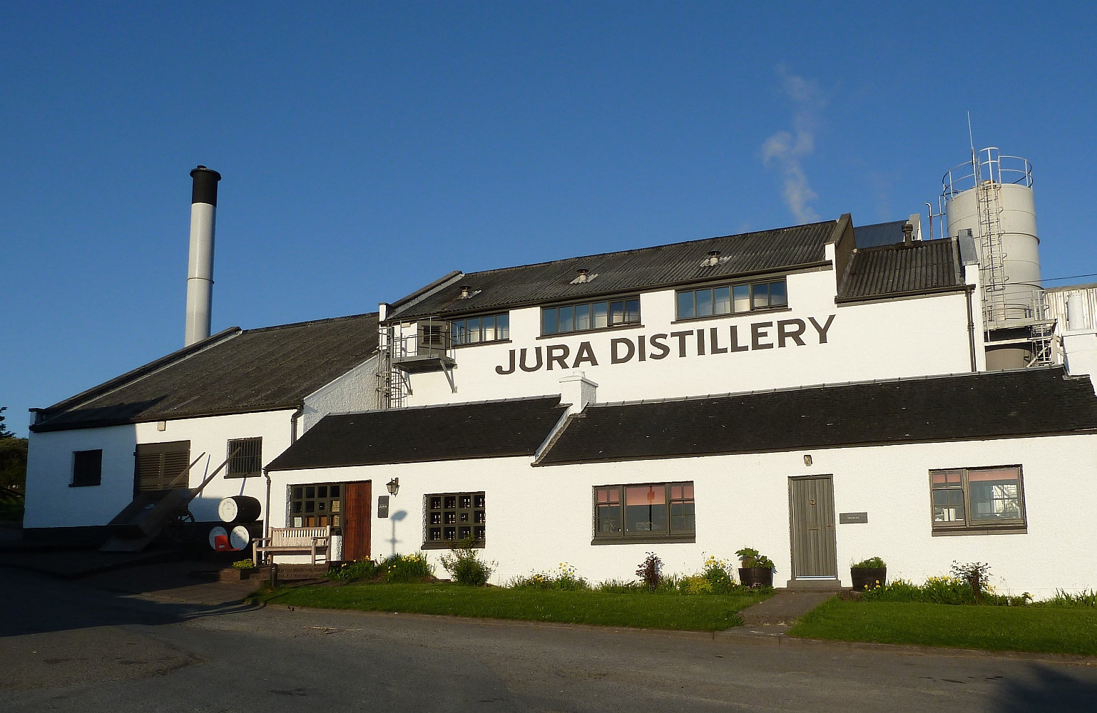
Jura distillery
Jura distillery is a Scotch whisky distillery on the island of Jura in the Inner Hebrides off the West Coast of Scotland. The distillery is operated by...

Craighouse
Craighouse (Scottish Gaelic: Taigh na Creige) is the main settlement and capital of the Scottish Inner Hebridean island of Jura, in Argyll and Bute. In...
Nearby Amenities
Located within 500m of 55.794181,-5.9896157Have you been to Port an Tigh-shalainn?
Leave your review of Port an Tigh-shalainn below (or comments, questions and feedback).