Port an Torra Ghairbh
Sea, Estuary, Creek in Argyllshire
Scotland
Port an Torra Ghairbh
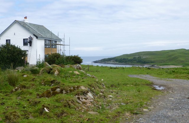
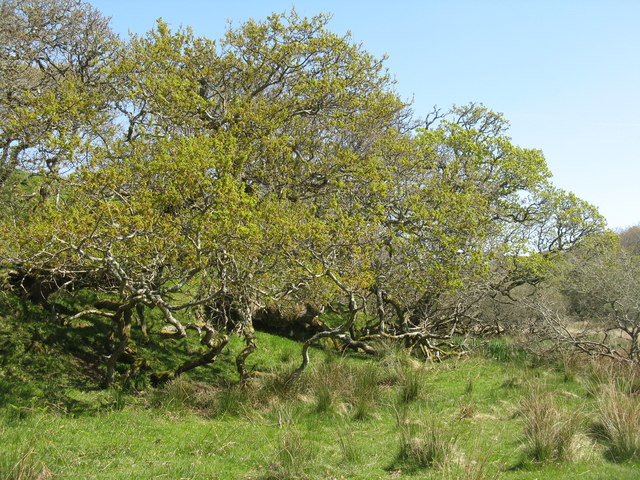
Port an Torra Ghairbh is a picturesque coastal settlement located in Argyllshire, Scotland. Situated along the western coast of the country, it is known for its stunning sea views, estuary, and creek. The name "Port an Torra Ghairbh" translates to "Port of the Rough Tower" in English, reflecting the rugged and wild beauty of the area.
The settlement is surrounded by the vast expanse of the Atlantic Ocean, providing visitors and residents with breathtaking panoramic views of the sea. The crashing waves and the salty breeze create a serene and calming atmosphere, making it a popular destination for those seeking tranquility and natural beauty.
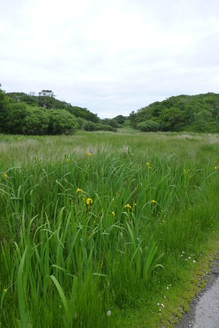
The estuary in Port an Torra Ghairbh is a notable feature, as it serves as a meeting point between the river and the sea. This creates a unique ecosystem, attracting a diverse range of marine life and bird species. Nature enthusiasts can enjoy observing the various birds that inhabit the area, including herons, cormorants, and gulls.
Additionally, a small creek flows through the settlement, adding to its charm and character. The creek provides a peaceful spot for fishing or leisurely walks along its banks. Visitors can also explore the nearby sandy beaches and rocky coves, perfect for beachcombing or sunbathing during the warmer months.
Overall, Port an Torra Ghairbh offers a tranquil and picturesque setting with its stunning sea views, estuary, and creek. It is an idyllic destination for nature lovers and those seeking a peaceful retreat amidst the rugged beauty of Argyllshire.
If you have any feedback on the listing, please let us know in the comments section below.
Port an Torra Ghairbh Images
Images are sourced within 2km of 55.679484/-6.0250898 or Grid Reference NR4750. Thanks to Geograph Open Source API. All images are credited.

Port an Torra Ghairbh is located at Grid Ref: NR4750 (Lat: 55.679484, Lng: -6.0250898)
Unitary Authority: Argyll and Bute
Police Authority: Argyll and West Dunbartonshire
What 3 Words
///rekindle.polar.general. Near Port Ellen, Argyll & Bute
Related Wikis

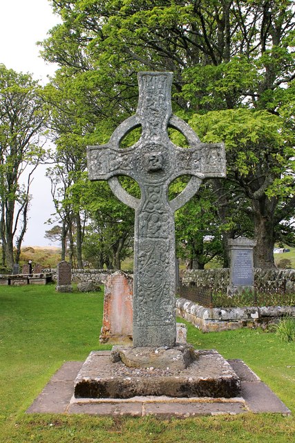
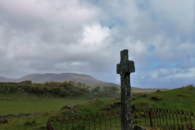
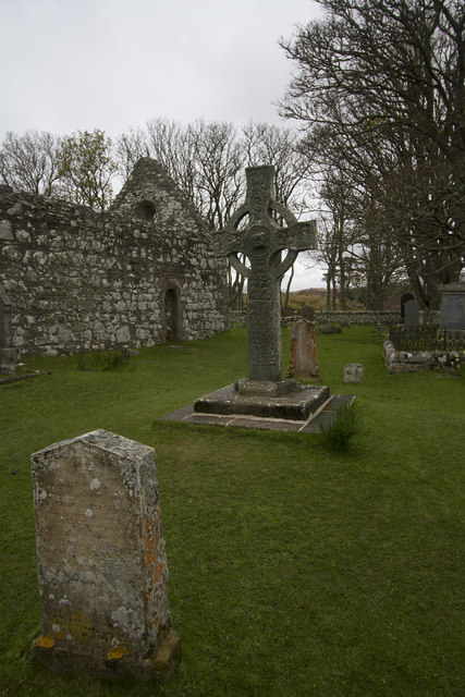
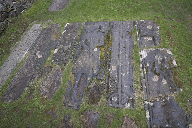
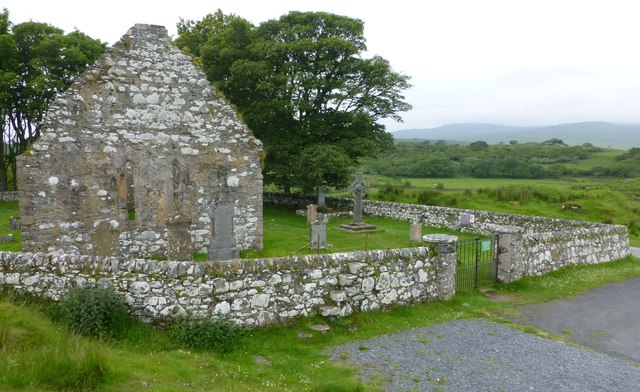
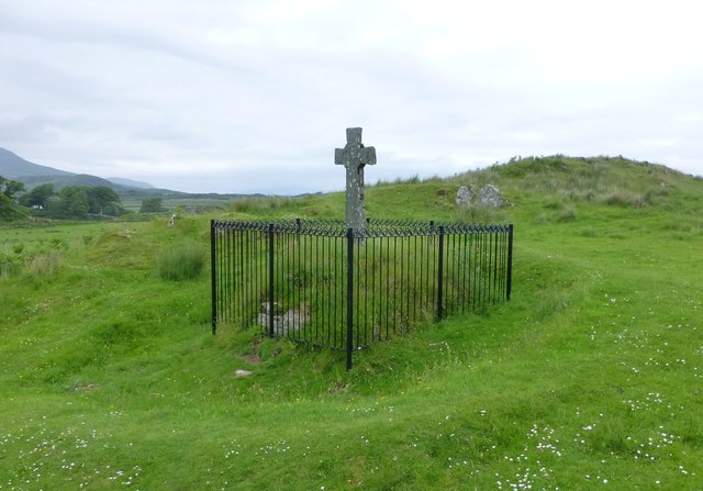
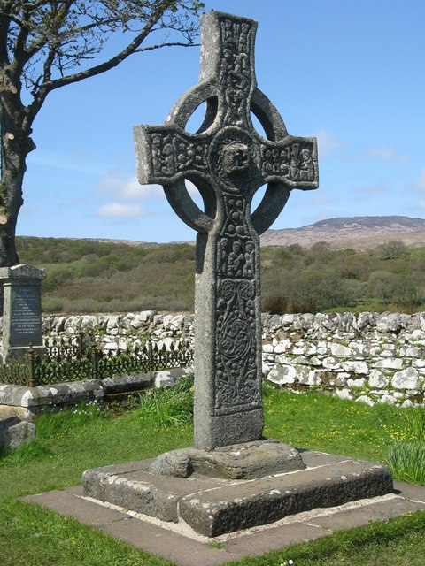
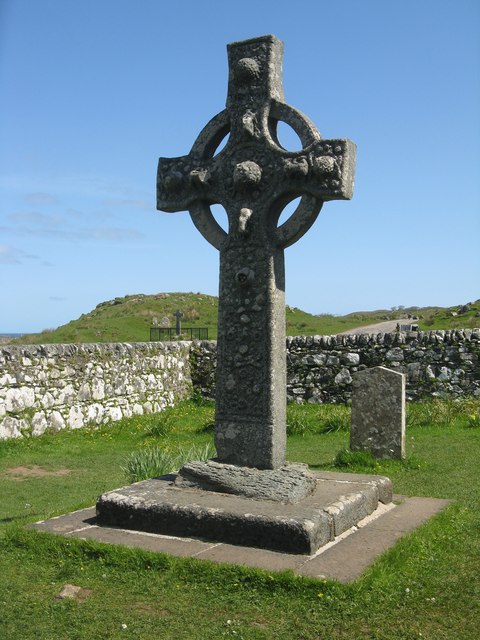
Kildalton Cross
The Kildalton Cross is a monolithic high cross in Celtic cross form in the churchyard of the former parish church of Kildalton (from Scottish Gaelic Cill...

Aros Bay
Aros Bay is an embayment of ocean waters near the southeast of Islay, Scotland. == See also == Claggain Bay == Line notes == == References == Alexander...

Claggain Bay
Claggain Bay is an inlet on the southeast of Islay, Scotland. A well known walking path follows near to Claggain Bay and continues to Ardtalla. == See... ==

Kildalton Castle
Kildalton Castle is a ruined Victorian country house near Port Ellen on the island of Islay in the Inner Hebrides, Argyll, Scotland. It was built in ashlar...
Nearby Amenities
Located within 500m of 55.679484,-6.0250898Have you been to Port an Torra Ghairbh?
Leave your review of Port an Torra Ghairbh below (or comments, questions and feedback).