Loch Tuath

Sea, Estuary, Creek in Argyllshire

Scotland

Loch Tuath

Eilean a' Choire A small flat island just off Ulva.
Eilean a' Choire Credit: Richard Webb

The requested URL returned error: 429 Too Many Requests

If you have any feedback on the listing, please let us know in the comments section below.
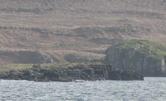
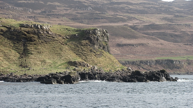
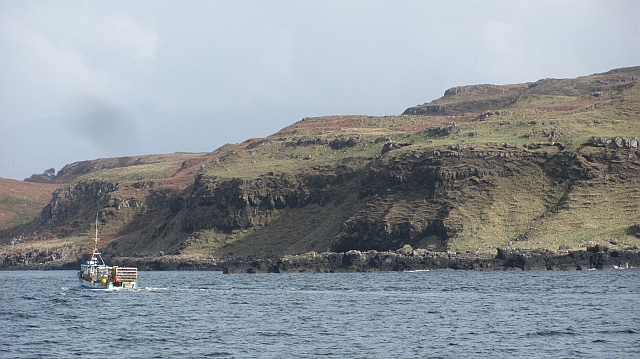
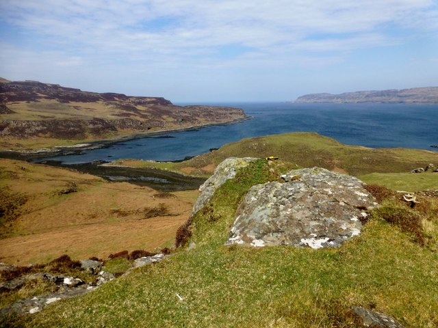
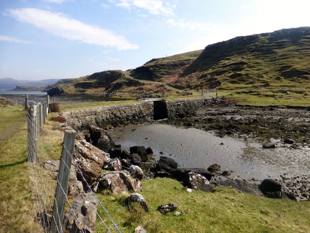
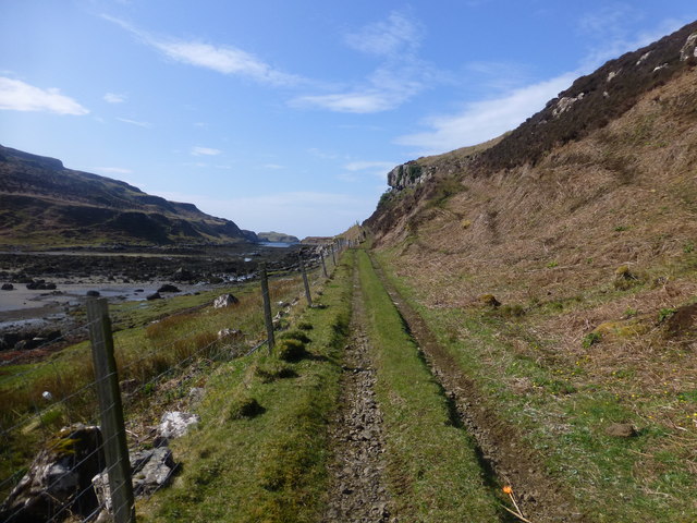
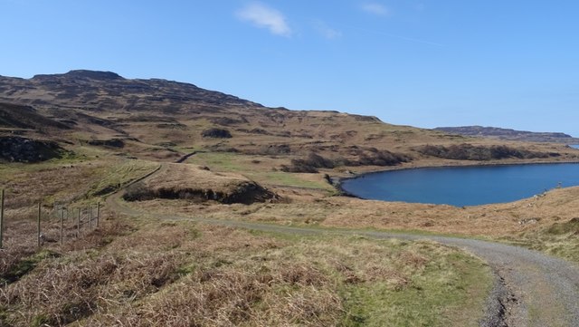
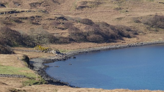
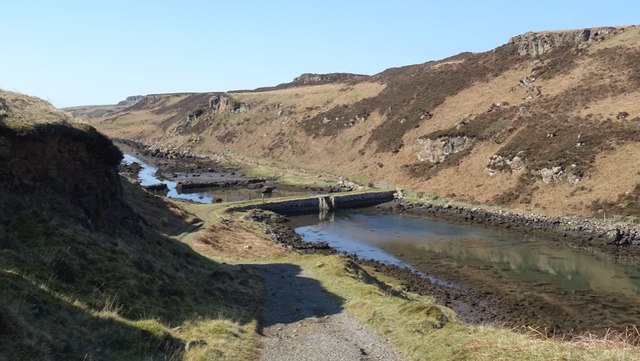
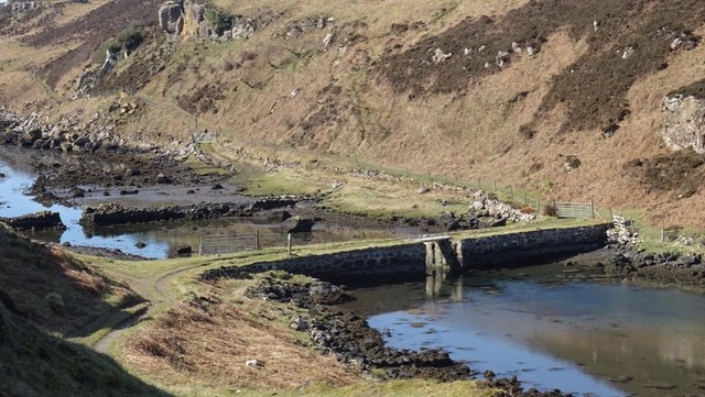
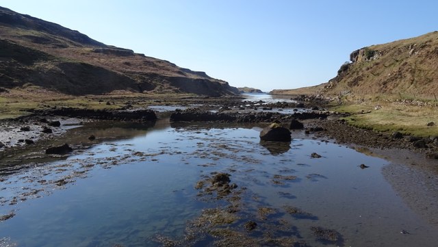
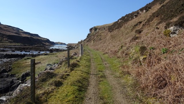
Loch Tuath Images

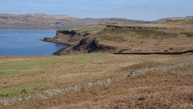
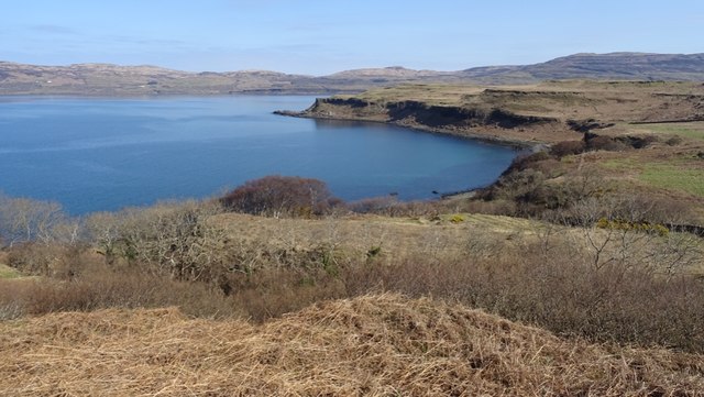
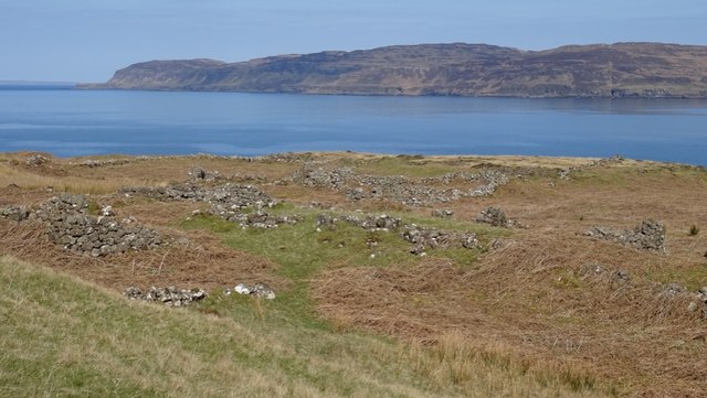
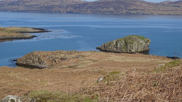
Images are sourced within 2km of 56.507085/-6.2515224 or Grid Reference NM3843. Thanks to Geograph Open Source API. All images are credited.

Eilean a' Choire A small flat island just off Ulva.
Eilean a' Choire
A small flat island just off Ulva.
Eilean a' Choire The northern end of a skerry off Ulva.
Eilean a' Choire
The northern end of a skerry off Ulva.
Rubha Chulinish Headland on the north coast of Ulva.
Rubha Chulinish
Headland on the north coast of Ulva.
Passing Rubha Chulinish Jessica Louise passes Rubha Chulinish bound for Ulva Ferry.
Passing Rubha Chulinish
Jessica Louise passes Rubha Chulinish bound for Ulva Ferry.
The entrance to Am Brù Am Brù is the narrow channel (dry at low tide) which separates the Isles of Ulva (to the left) from Gometra.
The entrance to Am Brù
Am Brù is the narrow channel (dry at low tide) which separates the Isles of Ulva (to the left) from Gometra.
Cnoc Rubha Dubh First TuMP of a bright sunny day with Jim Bloomer and Richard Tibbetts after a military march from the Ulva Ferry.

Name: Cnoc Rubha Dubh
Hill number: 102451
Height: 67m / 220ft
Area: 17E: Mull and Nearby Islands
Class: 0
Grid ref: NM375412 (est)
Drop: 38m
Col: 29m
Cnoc Rubha Dubh
First TuMP of a bright sunny day with Jim Bloomer and Richard Tibbetts after a military march from the Ulva Ferry. Name: Cnoc Rubha Dubh Hill number: 102451 Height: 67m / 220ft Area: 17E: Mull and Nearby Islands Class: 0 Grid ref: NM375412 (est) Drop: 38m Col: 29m
The Bridge This is the view from Gometra back across the bridge that connects it with Ulva.  Gometra is a tidal island next to Ulva.
The Bridge
This is the view from Gometra back across the bridge that connects it with Ulva. Gometra is a tidal island next to Ulva.
Track On Gometra This is the view along the track once you have stepped off the bridge between Ulva and Gometra.  It takes you on a twisted route to Gometra House.
Track On Gometra
This is the view along the track once you have stepped off the bridge between Ulva and Gometra. It takes you on a twisted route to Gometra House.
Lòn Bhearnuis A bay on the north side of Ulva with one of the few houses away from the far east of the island. Beinn Eolasary and its traps forms the background.
Lòn Bhearnuis
A bay on the north side of Ulva with one of the few houses away from the far east of the island. Beinn Eolasary and its traps forms the background.
Lòn Bhearnuis A bay on the north side of Ulva by one of the few houses away from the far east of the island.
Lòn Bhearnuis
A bay on the north side of Ulva by one of the few houses away from the far east of the island.
Enclosed field, Bearnus Former arable land on the north side of Ulva.
Enclosed field, Bearnus
Former arable land on the north side of Ulva.
Lòn Bhearnuis
Lòn Bhearnuis
Baligortan A ruined township on the northwest corner of Ulva. It had a population of 32 in the 1841 census. Around that time the island was cleared losing much of its population.
Baligortan
A ruined township on the northwest corner of Ulva. It had a population of 32 in the 1841 census. Around that time the island was cleared losing much of its population.
Dùn Ban A tidal island, once home to a fort. Northwest Ulva.
Dùn Ban
A tidal island, once home to a fort. Northwest Ulva.
Am Brù The tidal channel between Ulva and Gometra.
Am Brù
The tidal channel between Ulva and Gometra.
The bridge, Gometra The middle section is removable - useful when deer stalking is in progress.  Larger vehicles use the ford beyond the older ruined bridge. There was some traffic along the road during my visit, on the long and bumpy road to the Ulva ferry.
The bridge, Gometra
The middle section is removable - useful when deer stalking is in progress. Larger vehicles use the ford beyond the older ruined bridge. There was some traffic along the road during my visit, on the long and bumpy road to the Ulva ferry.
Am Brù The tidal channel which separates Gometra and Ulva.
Am Brù
The tidal channel which separates Gometra and Ulva.
Track on Gometra It soon gets wider as the bridge is suitable for use by vehicles up to the size of a quadbike. Landrovers etc. use a ford further along Am Brù.
Track on Gometra
It soon gets wider as the bridge is suitable for use by vehicles up to the size of a quadbike. Landrovers etc. use a ford further along Am Brù.
Show me another place!

Loch Tuath is located at Grid Ref: NM3843 (Lat: 56.507085, Lng: -6.2515224)

Unitary Authority: Argyll and Bute

Police Authority: Argyll and West Dunbartonshire

What 3 Words

///mavericks.petrified.scar. Near Calgary, Argyll & Bute

Nearby Locations

Loch Tuath

Related Wikis

Loch Tuath

Loch Tuath (Scottish Gaelic: Loch-a-Tuath) is a sea loch in the Inner Hebrides, Scotland that separates the Isle of Mull and the island of Ulva. Loch Tuath...

Gometra

Gometra (Scottish Gaelic: Gòmastra) is an island in the Inner Hebrides of Scotland, lying west of Mull. It lies immediately west of Ulva, to which it is...

Achleck

Achleck is a small settlement in the north-west of the Isle of Mull in Argyll and Bute, Scotland. == References ==

Torloisk House

Torloisk House (sometimes referred to as Torluck House in 19th century references) on the Isle of Mull, Argyll in Scotland was the family seat held by...

Have you been to Loch Tuath?

Leave your review of Loch Tuath below (or comments, questions and feedback).