Port an Lomaidh
Sea, Estuary, Creek in Argyllshire
Scotland
Port an Lomaidh
The requested URL returned error: 429 Too Many Requests
If you have any feedback on the listing, please let us know in the comments section below.
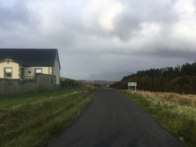
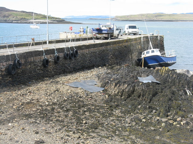
Port an Lomaidh Images
Images are sourced within 2km of 56.318967/-6.2637023 or Grid Reference NM3622. Thanks to Geograph Open Source API. All images are credited.
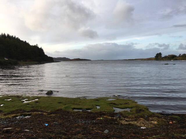

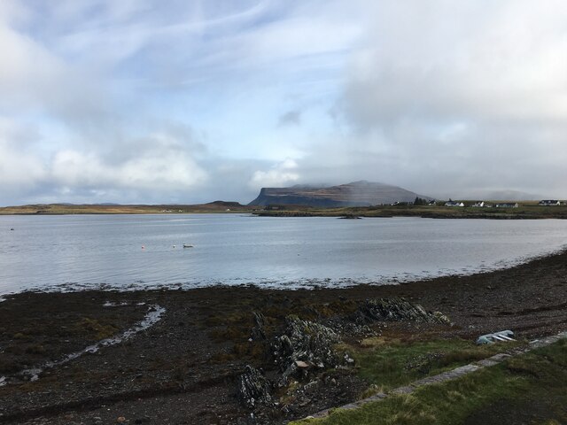
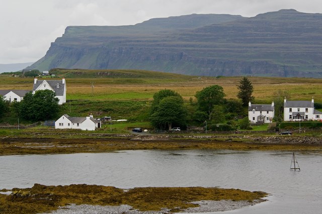
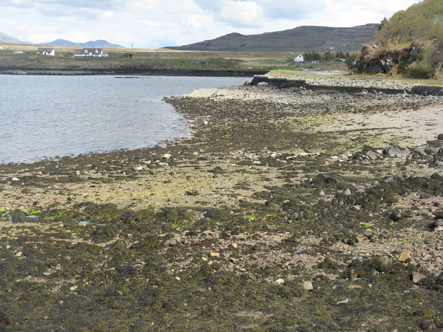
![Aird an Daraich Looking northeast across Loch Scridain to Bearreach. Remains of old oaks occur in the near fields [Daraich is 'oak' in the Gaelic]](https://s3.geograph.org.uk/geophotos/02/93/98/2939891_e88216ea.jpg)
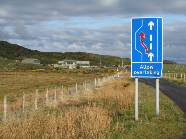
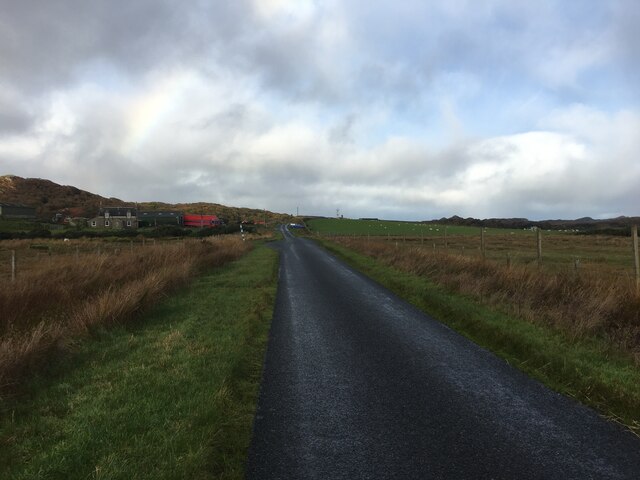
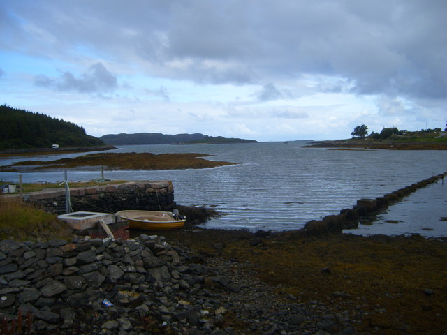
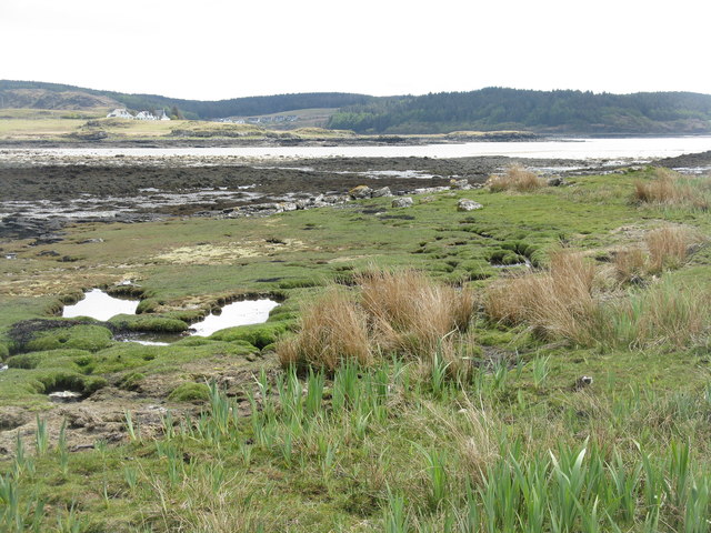
![Lazy beds at Aird an Daraich By Ardness House near Bunessan on the A849 road to Fionnphort. The old traditional crofting method of cultivation, particularly of potatoes, by laying them on the surface and covering with seaweed and soil from the side [a precursor to modern raised beds; nothing is new!].](https://s0.geograph.org.uk/geophotos/02/93/98/2939896_ec60fdf7.jpg)
Port an Lomaidh is located at Grid Ref: NM3622 (Lat: 56.318967, Lng: -6.2637023)
Unitary Authority: Argyll and Bute
Police Authority: Argyll and West Dunbartonshire
What 3 Words
///bends.reframe.assure. Near Fionnphort, Argyll & Bute
Related Wikis

Suidhe
Suidhe (Scottish Gaelic: Suidhe) is a ruined township located on the southwestern peninsula of the Isle of Mull, Scotland. It lies just over 1 km to the...

Bunessan
Bunessan (Scottish Gaelic: Bun Easain) is a small village on the Ross of Mull in the south-west of the Isle of Mull, off the west coast of Scotland. The...

Ross of Mull
The Ross of Mull (Scottish Gaelic: An Ros Mhuileach) is the largest peninsula of the Isle of Mull, about 28 kilometres (17 mi) long, and makes up the south...

Knocknafenaig
Knocknafenaig (Scottish Gaelic: Cnoc na Fennaig) is a ruined township on the Isle of Mull, Scotland. Located in the south-western portion of the island...
Nearby Amenities
Located within 500m of 56.318967,-6.2637023Have you been to Port an Lomaidh?
Leave your review of Port an Lomaidh below (or comments, questions and feedback).