Battle Hill
Settlement in Northumberland
England
Battle Hill
Battle Hill is a small village located in the county of Northumberland, England. Situated approximately 5 miles west of the town of Hexham, Battle Hill is nestled in the picturesque Tyne Valley. The village takes its name from the nearby site of the Battle of Hexham, which took place in 1464 during the Wars of the Roses.
The village itself is known for its tranquil and rural setting, surrounded by rolling hills and lush green fields. The charming stone cottages and traditional architecture add to the village's quaint and welcoming atmosphere. The community is small but tight-knit, with a close sense of camaraderie among its residents.
Despite its small size, Battle Hill boasts a few amenities, including a local pub that serves as a social hub for locals and visitors alike. The nearby market town of Hexham provides additional amenities, such as shops, supermarkets, and restaurants, all within easy reach of the village.
The surrounding area offers a plethora of outdoor activities, including walking, hiking, and cycling. The Northumberland National Park is just a short distance away, providing stunning landscapes and opportunities for exploration. Additionally, the historic Hadrian's Wall is within close proximity, offering a glimpse into the area's rich history.
In summary, Battle Hill is a charming and peaceful village in Northumberland, offering a serene and picturesque setting, a close-knit community, and access to a range of outdoor activities and historic sites.
If you have any feedback on the listing, please let us know in the comments section below.
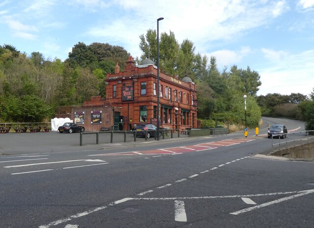
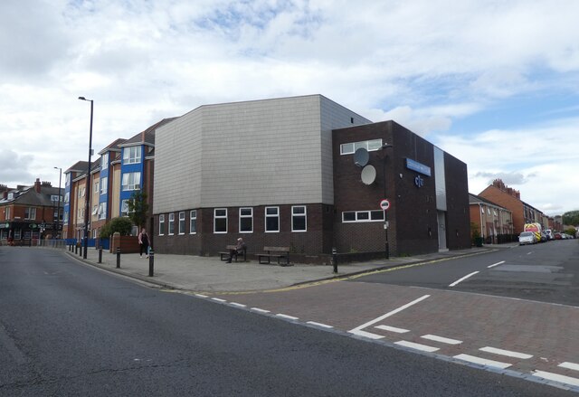
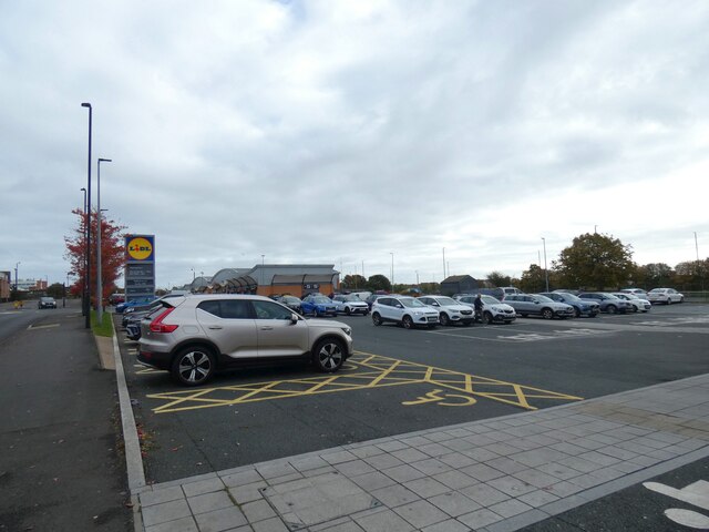
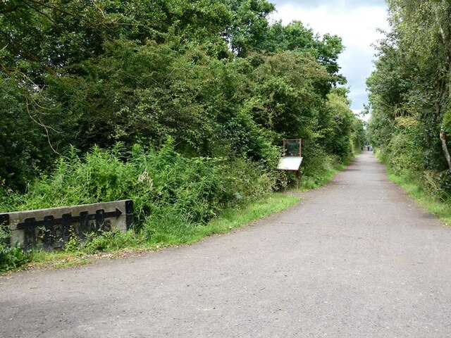
Battle Hill Images
Images are sourced within 2km of 55.005667/-1.5324987 or Grid Reference NZ3068. Thanks to Geograph Open Source API. All images are credited.


Battle Hill is located at Grid Ref: NZ3068 (Lat: 55.005667, Lng: -1.5324987)
Unitary Authority: North Tyneside
Police Authority: Northumbria
What 3 Words
///bring.soap.headlines. Near Wallsend, Tyne & Wear
Nearby Locations
Related Wikis

Rising Sun Country Park
Rising Sun Country Park is a country park in Benton, North Tyneside, England. == History == Rising Sun Country Park is the former location of a colliery...

A1058 road
The A1058, known locally as the Coast Road, is a major road in Newcastle upon Tyne and the adjoining borough of North Tyneside in the North East. It runs...

North Tyneside (UK Parliament constituency)
North Tyneside is a constituency represented in the House of Commons of the UK Parliament since 2010 by Mary Glindon of the Labour Party.The seat is due...
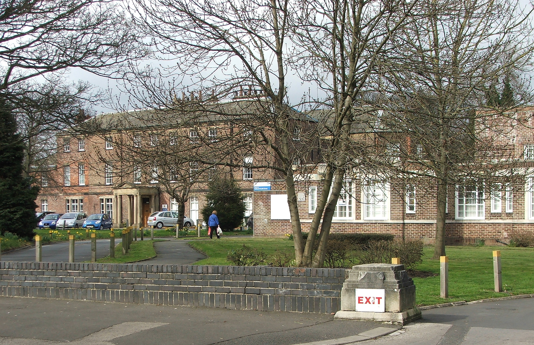
Sir G B Hunter Memorial Hospital
The Sir G B Hunter Memorial Hospital is a health facility at Wallsend Green, Wallsend, Tyne and Wear, England. It is managed by Cumbria, Northumberland...
North Tyneside
North Tyneside is a metropolitan borough in the metropolitan county of Tyne and Wear, England. It forms part of the greater Tyneside conurbation. North...

Tyne Metropolitan College
Tyne Metropolitan College is a college of further education in North Tyneside, England. == About Tyne Metropolitan College == Tyne Metropolitan College...

Burnside College
Burnside College is a coeducational secondary school and sixth form located in Wallsend, North Tyneside, England. == History == The school was opened on...

Wallsend Town Hall
Wallsend Town Hall is a municipal building on High Street East in Wallsend, Tyne and Wear, England. The town hall, which was the headquarters of North...
Nearby Amenities
Located within 500m of 55.005667,-1.5324987Have you been to Battle Hill?
Leave your review of Battle Hill below (or comments, questions and feedback).