Port nan Reulan Mòr

Sea, Estuary, Creek in Argyllshire

Scotland

Port nan Reulan Mòr
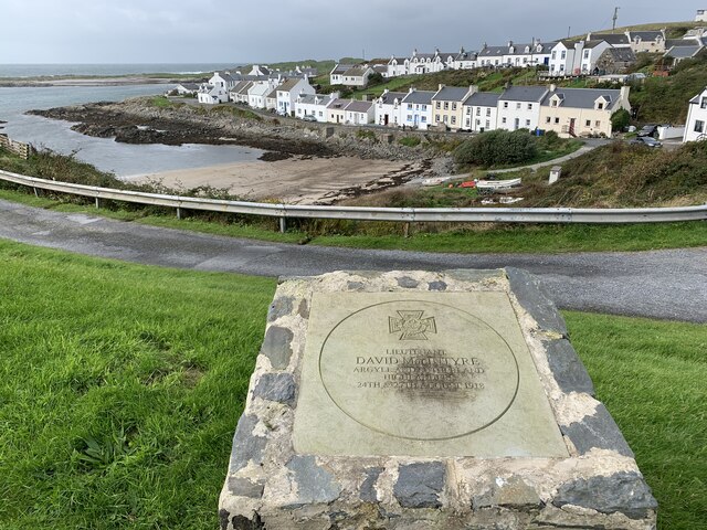
Memorial to Lieutenant David Lowe Macintyre David Lowe Macintyre VC, CB (18 June 1895 – 31 July 1967) was a Scottish recipient of the Victoria Cross.
Memorial to Lieutenant David Lowe Macintyre Credit: Andrew Abbott

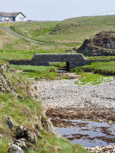
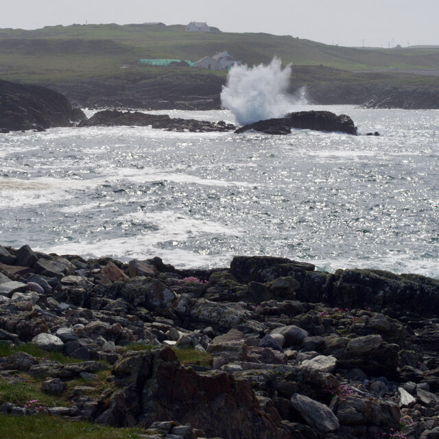
Port nan Reulan Mòr is a scenic coastal area located in Argyllshire, Scotland. Nestled between rolling hills and rugged cliffs, this picturesque destination offers visitors a unique blend of natural beauty and maritime charm.

As its name suggests, Port nan Reulan Mòr is primarily characterized by its coastal features. The area is defined by a large sea inlet, which forms an estuary where a river meets the sea. This estuary serves as a gateway to a small creek, allowing boats to access the area.

The landscape surrounding Port nan Reulan Mòr is diverse and captivating. Visitors can expect to encounter sandy beaches, rocky outcrops, and lush vegetation along the coastline. The intertidal zone is home to a variety of marine life, providing opportunities for beachcombing and exploring the diverse ecosystems.

The area is also known for its abundance of birdlife. Seabirds such as gulls, cormorants, and puffins can often be spotted along the cliffs and in the estuary. Birdwatchers will be delighted by the opportunity to observe these fascinating creatures in their natural habitat.

In addition to its natural attractions, Port nan Reulan Mòr offers a range of recreational activities. The calm waters of the estuary and creek are perfect for boating, kayaking, and fishing. Hiking enthusiasts can explore the surrounding hills and take in breathtaking panoramic views of the sea.

Overall, Port nan Reulan Mòr is a haven for nature lovers and those seeking a peaceful seaside retreat. Its stunning coastal scenery, diverse wildlife, and recreational opportunities make it a must-visit destination in Argyllshire.

If you have any feedback on the listing, please let us know in the comments section below.

Port nan Reulan Mòr Images

Images are sourced within 2km of 55.685006/-6.5140822 or Grid Reference NR1652. Thanks to Geograph Open Source API. All images are credited.

Memorial to Lieutenant David Lowe Macintyre David Lowe Macintyre VC, CB (18 June 1895 – 31 July 1967) was a Scottish recipient of the Victoria Cross.
Memorial to Lieutenant David Lowe Macintyre
David Lowe Macintyre VC, CB (18 June 1895 – 31 July 1967) was a Scottish recipient of the Victoria Cross.
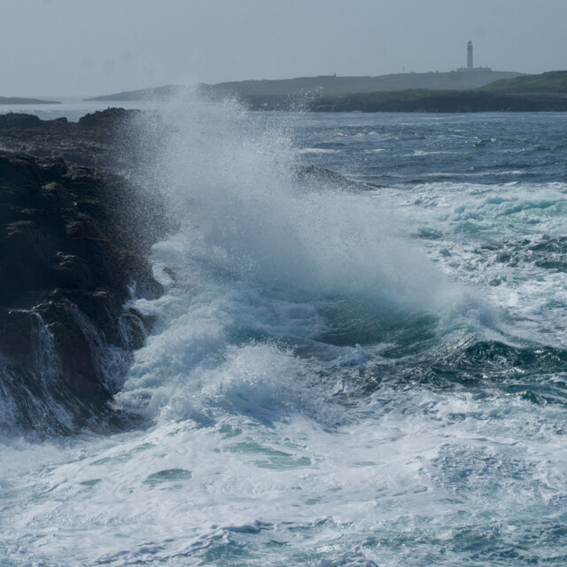
Rocks at An Dubh-laoig
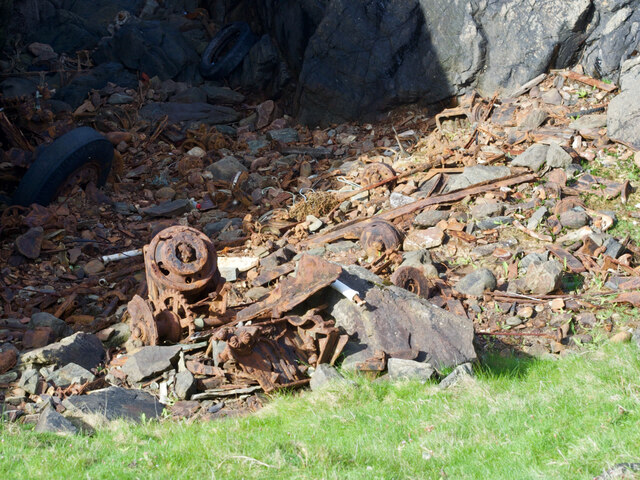
Rubbish tip
Rubbish tip
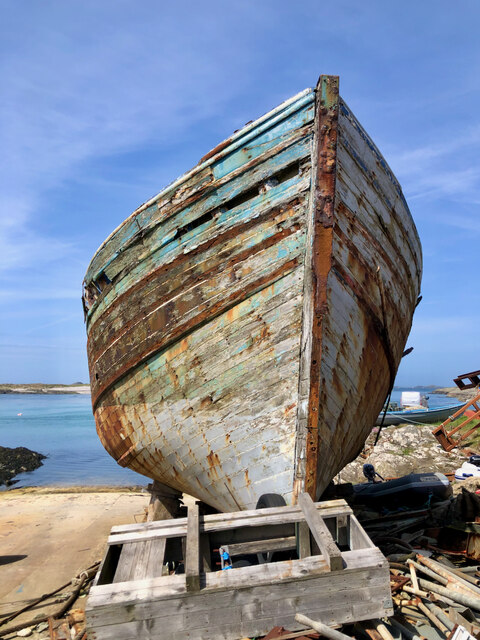
Boat under repair
Boat under repair
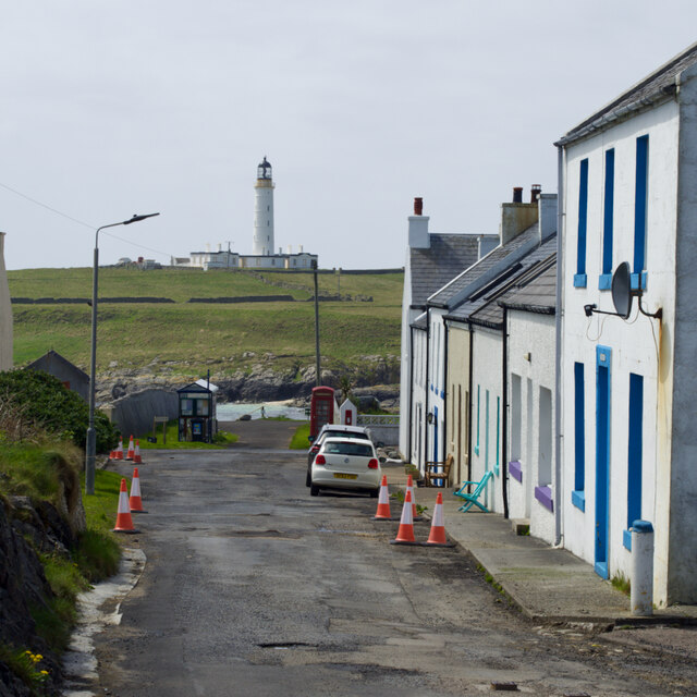
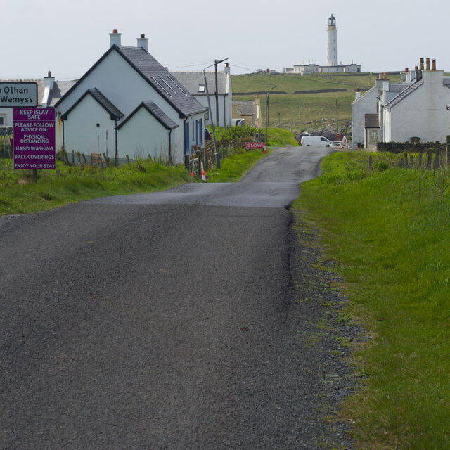
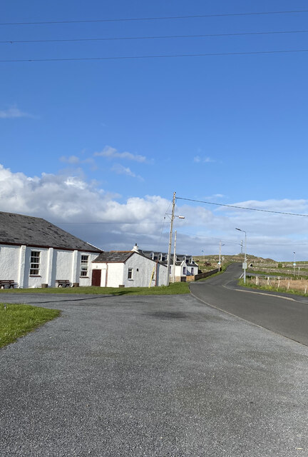
Main Street, Port Wemyss/Bun Othan
Caolas na Cor-sgeire
Coast at Claddach
Coast at Claddach
Main Street, Port Wemyss/Bun Othan
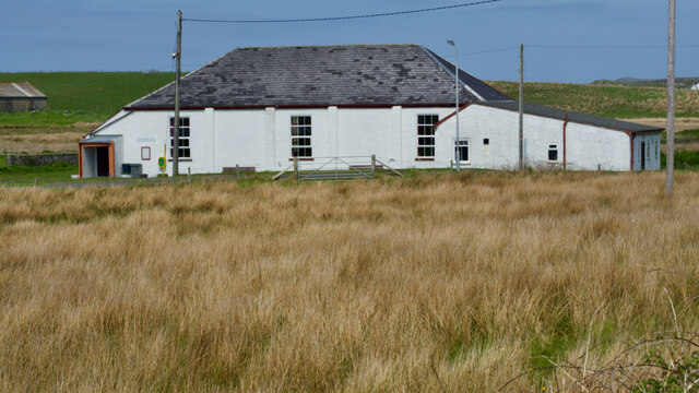
Village Hall
Village Hall
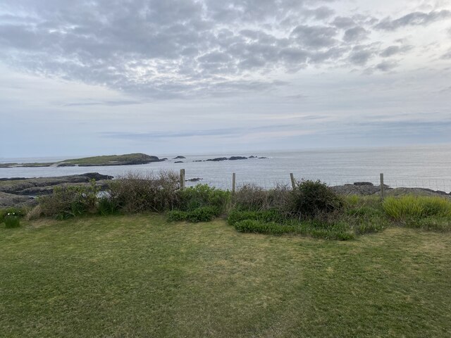
Coastal views from holiday cottage
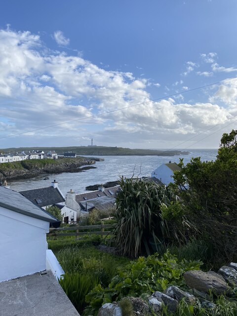
Portnahaven
Portnahaven
Views out to sea Portnahaven
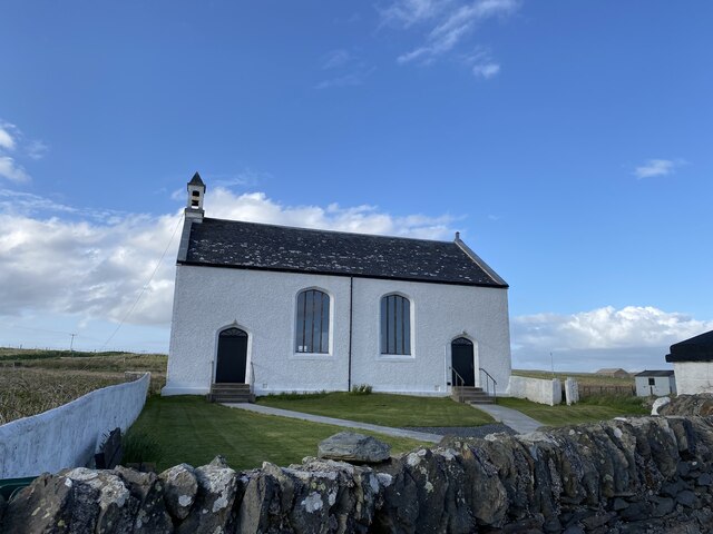
Portnahaven, Parish Church
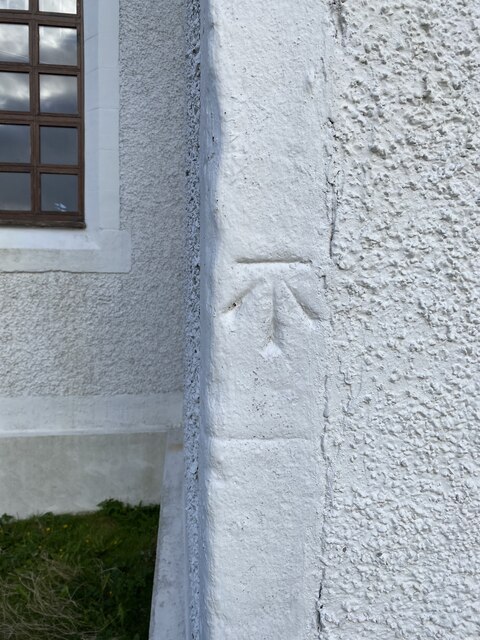
OS Cut Mark - Portnahaven, Parish Church <span class="nowrap"><a title="https://www.bench-marks.org.uk/bm58120" rel="nofollow ugc noopener" href="https://www.bench-marks.org.uk/bm58120">Link</a><img style="margin-left:2px;" alt="External link" title="External link - shift click to open in new window" src="https://s1.geograph.org.uk/img/external.png" width="10" height="10"/></span>
OS Cut Mark - Portnahaven, Parish Church
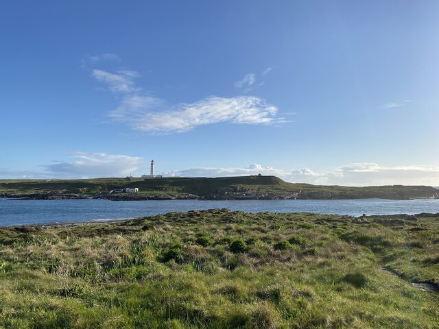
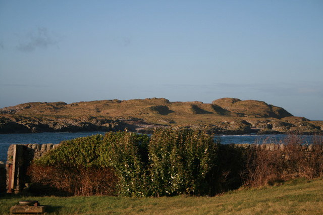
View to Orsay from Port Wemyss
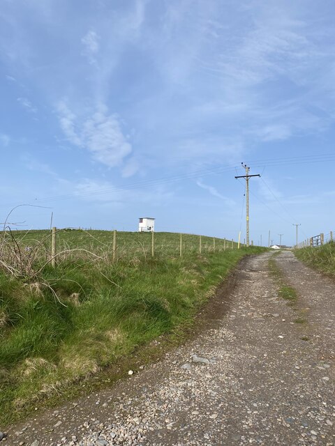
Former Portnahaven Coast Guard Lookout
Portnahaven
Portnahaven
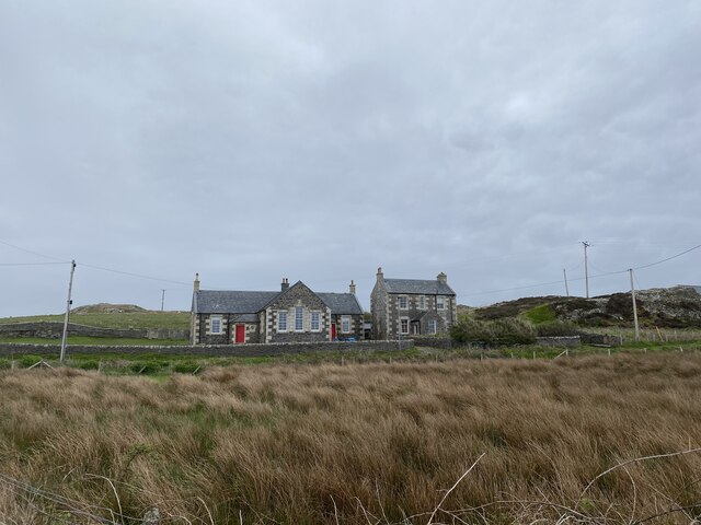
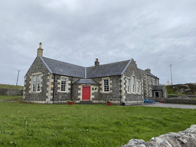
Former school, Portnahaven Now a holiday let.
Former school, Portnahaven
Now a holiday let.
Show me another place!

Port nan Reulan Mòr is located at Grid Ref: NR1652 (Lat: 55.685006, Lng: -6.5140822)

Unitary Authority: Argyll and Bute

Police Authority: Argyll and West Dunbartonshire

What 3 Words

///loafing.blesses.sparkle. Near Portnahaven, Argyll & Bute

Related Wikis

Eilean Mhic Coinnich

Eilean Mhic Coinnich, also known as Mackenzie Island (although recorded on the Land Register as McKenseys Island), is an uninhabited island of 17.3 hectares...

Islay LIMPET

Islay LIMPET was the world's first commercial wave power device and was connected to the United Kingdom's National Grid. == History == Islay LIMPET (Land...

Portnahaven

Portnahaven (Scottish Gaelic: Port na h-Abhainne, meaning river port) is a village on Islay in the Inner Hebrides, Scotland. The village is within the...

Orsay, Inner Hebrides

Orsay (Scottish Gaelic: Orasaigh) is a small island in the Inner Hebrides of Scotland. It lies a short distance off the west coast of the island of Islay...

Nearby Amenities

Located within 500m of 55.685006,-6.5140822
Created By: dmgroom_coastlines
Source: PGS
Lat/Long: 55.68233/-6.51967
Created By: dmgroom_coastlines
Source: PGS
Lat/Long: 55.68285/-6.51963
Created By: dmgroom_coastlines
Source: PGS
Lat/Long: 55.68296/-6.51917
Created By: dmgroom_coastlines
Source: PGS
Lat/Long: 55.68321/-6.5187
Created By: dmgroom_coastlines
Source: PGS
Lat/Long: 55.68332/-6.51779
Created By: dmgroom_coastlines
Source: PGS
Lat/Long: 55.68306/-6.51758
Created By: dmgroom_coastlines
Source: PGS
Lat/Long: 55.68228/-6.51718
Created By: dmgroom_coastlines
Source: PGS
Lat/Long: 55.68176/-6.51676
Created By: dmgroom_coastlines
Source: PGS
Lat/Long: 55.68125/-6.51656
Created By: dmgroom_coastlines
Source: PGS
Lat/Long: 55.68136/-6.5161
Created By: dmgroom_coastlines
Source: PGS
Lat/Long: 55.68135/-6.51565
Created By: dmgroom_coastlines
Source: PGS
Lat/Long: 55.68121/-6.51475
Created By: dmgroom_coastlines
Source: PGS
Lat/Long: 55.68096/-6.51499
Created By: dmgroom_coastlines
Source: PGS
Lat/Long: 55.6807/-6.51501
Source: PGS
Lat/Long: 55.6868484/-6.5145789
Source: PGS
Lat/Long: 55.6867024/-6.5152544
Source: PGS
Lat/Long: 55.6842646/-6.5136123
Source: PGS
Lat/Long: 55.684223/-6.5131417
Power: pole
Lat/Long: 55.682361/-6.5104796
Power: pole
Lat/Long: 55.6822337/-6.5086731
Power: pole
Lat/Long: 55.6869746/-6.5117205
Power: pole
Lat/Long: 55.6880924/-6.5114295
Power: pole
Lat/Long: 55.6822969/-6.509558
Passing Place
Lat/Long: 55.6881087/-6.5124908
Passing Place
Lat/Long: 55.687361/-6.511112
The data included in this document is from www.openstreetmap.org. The data is made available under ODbL.

Have you been to Port nan Reulan Mòr?

Leave your review of Port nan Reulan Mòr below (or comments, questions and feedback).