Port na Cloiche

Sea, Estuary, Creek in Argyllshire

Scotland

Port na Cloiche
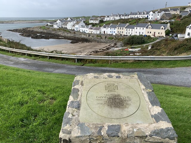
Memorial to Lieutenant David Lowe Macintyre David Lowe Macintyre VC, CB (18 June 1895 – 31 July 1967) was a Scottish recipient of the Victoria Cross.
Memorial to Lieutenant David Lowe Macintyre Credit: Andrew Abbott

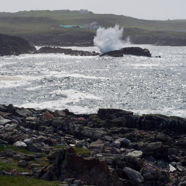
Port na Cloiche is a picturesque coastal village located in Argyllshire, Scotland. Situated on the western coast of the country, it is known for its stunning sea views, estuary, and tranquil creek. The name Port na Cloiche translates to "port of the stone" in Gaelic, reflecting the rocky landscape that characterizes the area.

The village is situated on a small bay, offering visitors breathtaking vistas of the sea. The crystal-clear waters are home to a diverse range of marine life, making it a popular spot for fishing and wildlife enthusiasts. The estuary, formed by the convergence of a river and the sea, creates a unique ecosystem where both freshwater and marine species thrive.

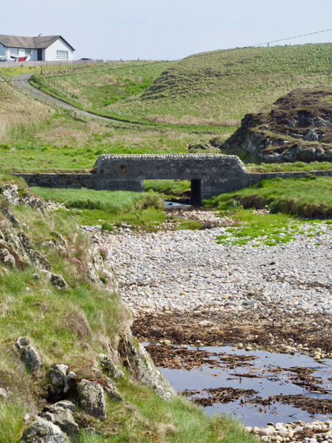
A prominent feature of Port na Cloiche is the peaceful creek that winds through the village. Framed by lush greenery and wildflowers, the creek provides a serene setting for leisurely walks and picnics. It is also a haven for birdwatchers, as numerous species can be spotted along its banks.

The village itself is a charming blend of traditional and modern architecture. Quaint cottages with thatched roofs and colorful facades line the streets, while contemporary shops and cafes cater to the needs of visitors and locals alike. The welcoming community is known for its warm hospitality, making Port na Cloiche an inviting destination for tourists seeking a peaceful coastal retreat.

In conclusion, Port na Cloiche offers a captivating blend of natural beauty and tranquility. With its mesmerizing sea views, thriving estuary, and idyllic creek, it is a haven for nature lovers and those seeking a serene coastal escape.

If you have any feedback on the listing, please let us know in the comments section below.

Port na Cloiche Images

Images are sourced within 2km of 55.680938/-6.5153481 or Grid Reference NR1652. Thanks to Geograph Open Source API. All images are credited.

Memorial to Lieutenant David Lowe Macintyre David Lowe Macintyre VC, CB (18 June 1895 – 31 July 1967) was a Scottish recipient of the Victoria Cross.
Memorial to Lieutenant David Lowe Macintyre
David Lowe Macintyre VC, CB (18 June 1895 – 31 July 1967) was a Scottish recipient of the Victoria Cross.
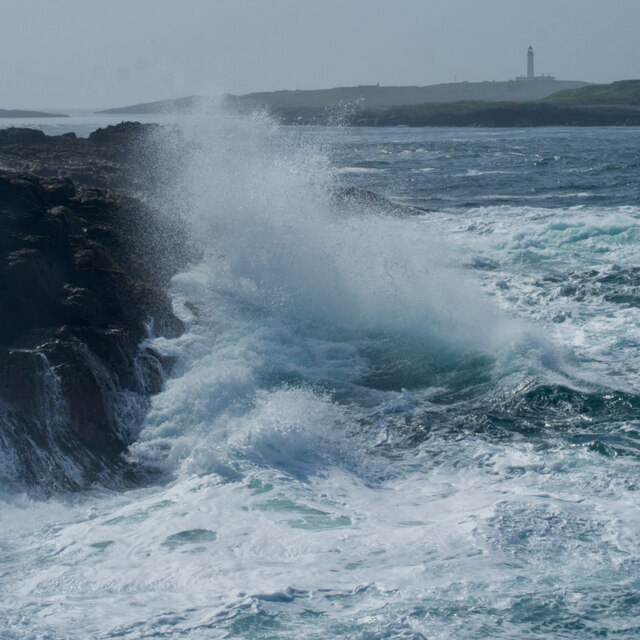
Rocks at An Dubh-laoig
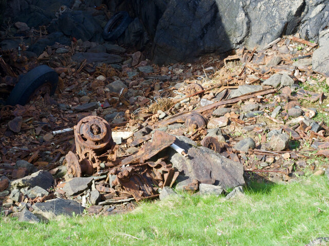
Rubbish tip
Rubbish tip
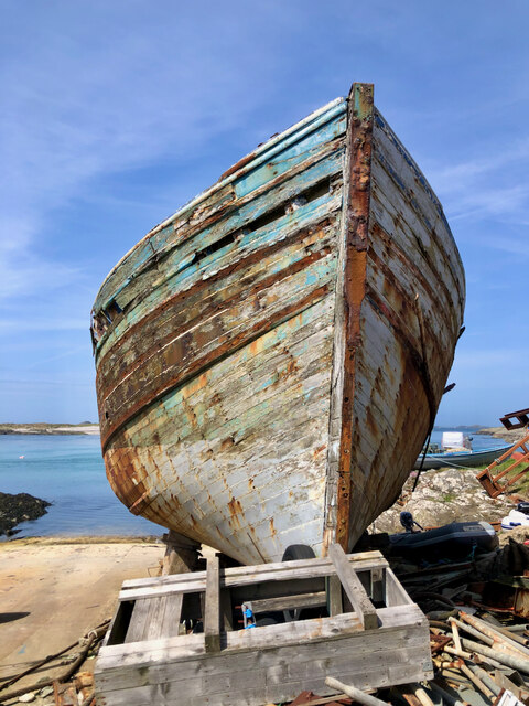
Boat under repair
Boat under repair
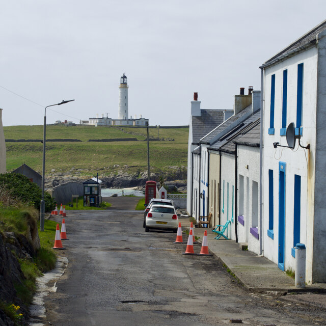
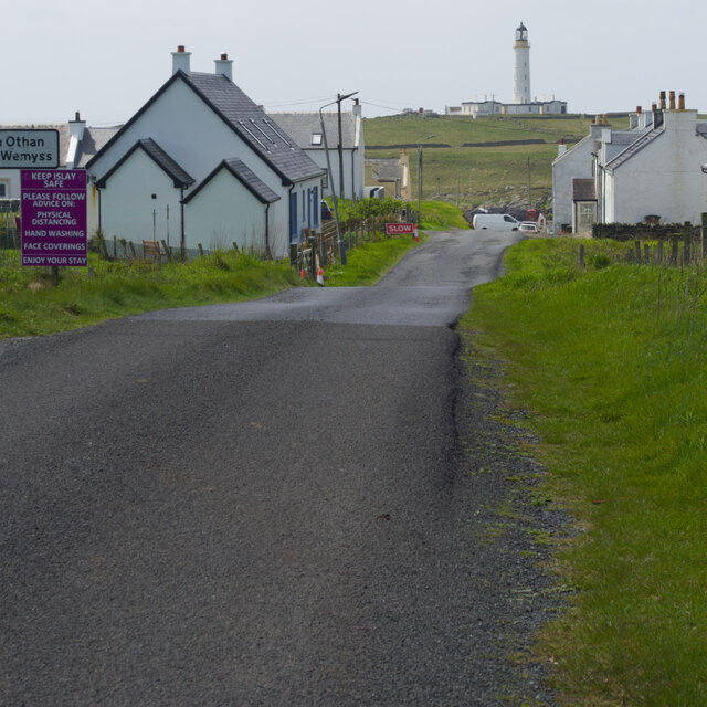
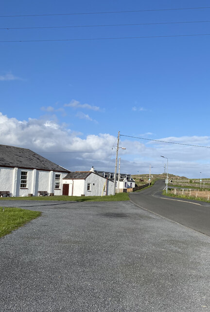
Main Street, Port Wemyss/Bun Othan
Caolas na Cor-sgeire
Coast at Claddach
Coast at Claddach
Main Street, Port Wemyss/Bun Othan
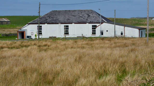
Village Hall
Village Hall
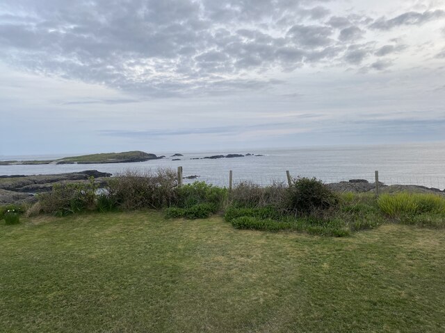
Coastal views from holiday cottage
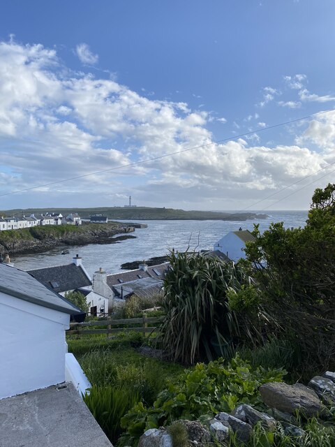
Portnahaven
Portnahaven
Views out to sea Portnahaven
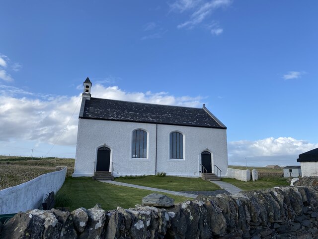
Portnahaven, Parish Church
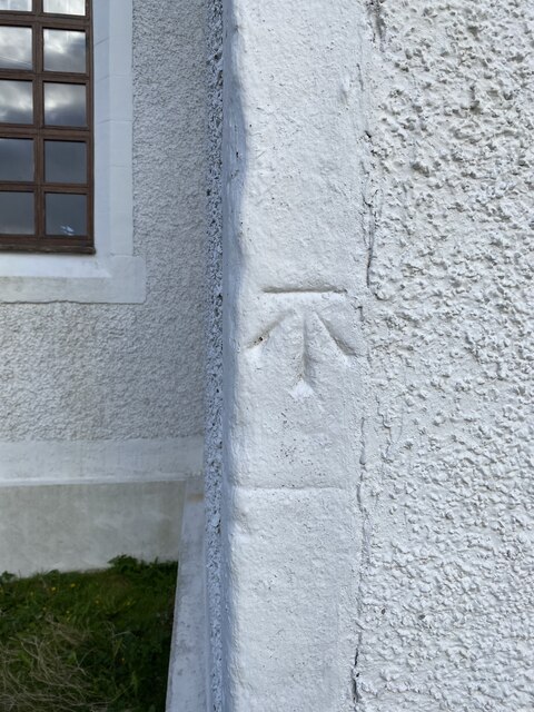
OS Cut Mark - Portnahaven, Parish Church <span class="nowrap"><a title="https://www.bench-marks.org.uk/bm58120" rel="nofollow ugc noopener" href="https://www.bench-marks.org.uk/bm58120">Link</a><img style="margin-left:2px;" alt="External link" title="External link - shift click to open in new window" src="https://s1.geograph.org.uk/img/external.png" width="10" height="10"/></span>
OS Cut Mark - Portnahaven, Parish Church
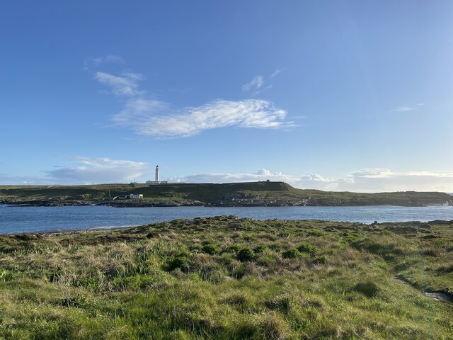
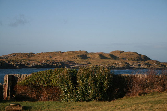
View to Orsay from Port Wemyss
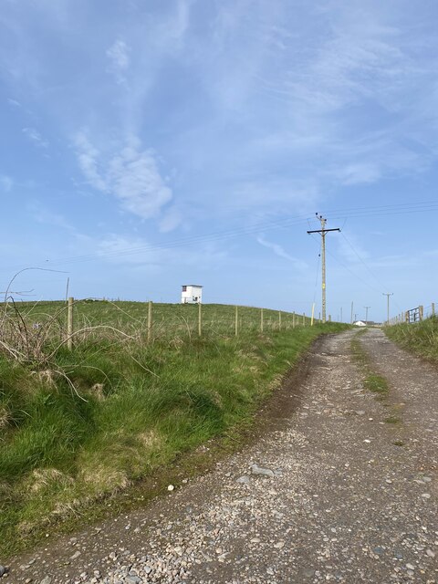
Former Portnahaven Coast Guard Lookout
Portnahaven
Portnahaven
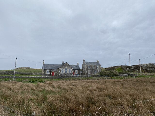
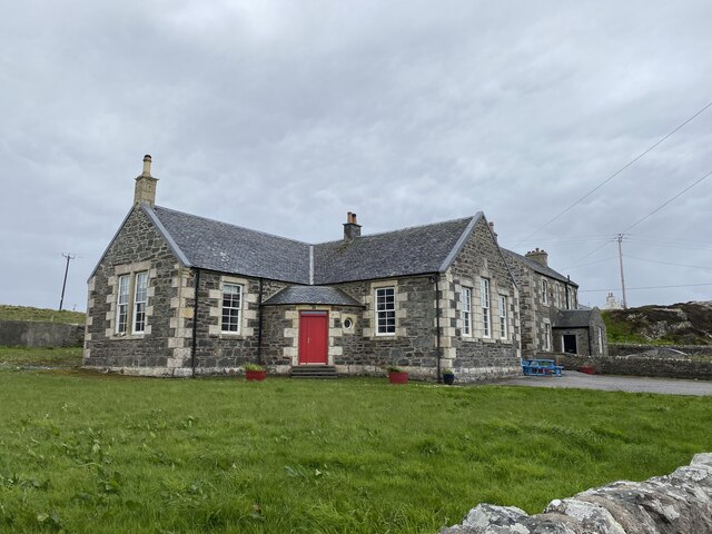
Former school, Portnahaven Now a holiday let.
Former school, Portnahaven
Now a holiday let.
Show me another place!

Port na Cloiche is located at Grid Ref: NR1652 (Lat: 55.680938, Lng: -6.5153481)

Unitary Authority: Argyll and Bute

Police Authority: Argyll and West Dunbartonshire

What 3 Words

///squares.pace.nourished. Near Portnahaven, Argyll & Bute

Related Wikis

Eilean Mhic Coinnich

Eilean Mhic Coinnich, also known as Mackenzie Island (although recorded on the Land Register as McKenseys Island), is an uninhabited island of 17.3 hectares...

Orsay, Inner Hebrides

Orsay (Scottish Gaelic: Orasaigh) is a small island in the Inner Hebrides of Scotland. It lies a short distance off the west coast of the island of Islay...

Portnahaven

Portnahaven (Scottish Gaelic: Port na h-Abhainne, meaning river port) is a village on Islay in the Inner Hebrides, Scotland. The village is within the...

Islay LIMPET

Islay LIMPET was the world's first commercial wave power device and was connected to the United Kingdom's National Grid. == History == Islay LIMPET (Land...

Nearby Amenities

Located within 500m of 55.680938,-6.5153481
Created By: dmgroom_coastlines
Source: PGS
Lat/Long: 55.67761/-6.51407
Created By: dmgroom_coastlines
Source: PGS
Lat/Long: 55.67776/-6.51542
Created By: dmgroom_coastlines
Source: PGS
Lat/Long: 55.67777/-6.51587
Created By: dmgroom_coastlines
Source: PGS
Lat/Long: 55.67778/-6.51633
Created By: dmgroom_coastlines
Source: PGS
Lat/Long: 55.67791/-6.51655
Created By: dmgroom_coastlines
Source: PGS
Lat/Long: 55.67817/-6.51653
Created By: dmgroom_coastlines
Source: PGS
Lat/Long: 55.67842/-6.51629
Created By: dmgroom_coastlines
Source: PGS
Lat/Long: 55.67844/-6.51719
Created By: dmgroom_coastlines
Source: PGS
Lat/Long: 55.67895/-6.51739
Created By: dmgroom_coastlines
Source: PGS
Lat/Long: 55.67948/-6.51781
Created By: dmgroom_coastlines
Source: PGS
Lat/Long: 55.67961/-6.51802
Created By: dmgroom_coastlines
Source: PGS
Lat/Long: 55.67962/-6.51848
Created By: dmgroom_coastlines
Source: PGS
Lat/Long: 55.6795/-6.51894
Created By: dmgroom_coastlines
Source: PGS
Lat/Long: 55.68001/-6.51913
Created By: dmgroom_coastlines
Source: PGS
Lat/Long: 55.68015/-6.51935
Created By: dmgroom_coastlines
Source: PGS
Lat/Long: 55.68042/-6.52024
Created By: dmgroom_coastlines
Source: PGS
Lat/Long: 55.68055/-6.52046
Created By: dmgroom_coastlines
Source: PGS
Lat/Long: 55.68069/-6.52068
Created By: dmgroom_coastlines
Source: PGS
Lat/Long: 55.68073/-6.52097
Created By: dmgroom_coastlines
Source: PGS
Lat/Long: 55.68057/-6.52114
Created By: dmgroom_coastlines
Source: PGS
Lat/Long: 55.68058/-6.52158
Created By: dmgroom_coastlines
Source: PGS
Lat/Long: 55.68083/-6.52157
Created By: dmgroom_coastlines
Source: PGS
Lat/Long: 55.68091/-6.52127
Created By: dmgroom_coastlines
Source: PGS
Lat/Long: 55.68133/-6.52109
Created By: dmgroom_coastlines
Source: PGS
Lat/Long: 55.68134/-6.52154
Created By: dmgroom_coastlines
Source: PGS
Lat/Long: 55.6816/-6.52153
Created By: dmgroom_coastlines
Source: PGS
Lat/Long: 55.68159/-6.52107
Created By: dmgroom_coastlines
Source: PGS
Lat/Long: 55.6821/-6.52104
Created By: dmgroom_coastlines
Source: PGS
Lat/Long: 55.68222/-6.52058
Created By: dmgroom_coastlines
Source: PGS
Lat/Long: 55.68233/-6.51967
Created By: dmgroom_coastlines
Source: PGS
Lat/Long: 55.68285/-6.51963
Created By: dmgroom_coastlines
Source: PGS
Lat/Long: 55.68296/-6.51917
Created By: dmgroom_coastlines
Source: PGS
Lat/Long: 55.68321/-6.5187
Created By: dmgroom_coastlines
Source: PGS
Lat/Long: 55.68332/-6.51779
Created By: dmgroom_coastlines
Source: PGS
Lat/Long: 55.68306/-6.51758
Created By: dmgroom_coastlines
Source: PGS
Lat/Long: 55.68228/-6.51718
Created By: dmgroom_coastlines
Source: PGS
Lat/Long: 55.68176/-6.51676
Created By: dmgroom_coastlines
Source: PGS
Lat/Long: 55.68125/-6.51656
Created By: dmgroom_coastlines
Source: PGS
Lat/Long: 55.68136/-6.5161
Created By: dmgroom_coastlines
Source: PGS
Lat/Long: 55.68135/-6.51565
Created By: dmgroom_coastlines
Source: PGS
Lat/Long: 55.68121/-6.51475
Created By: dmgroom_coastlines
Source: PGS
Lat/Long: 55.68096/-6.51499
Created By: dmgroom_coastlines
Source: PGS
Lat/Long: 55.6807/-6.51501
Created By: dmgroom_coastlines
Source: PGS
Lat/Long: 55.68043/-6.51457
Created By: dmgroom_coastlines
Source: PGS
Lat/Long: 55.6794/-6.51418
Created By: dmgroom_coastlines
Source: PGS
Lat/Long: 55.67915/-6.5142
Created By: dmgroom_coastlines
Source: PGS
Lat/Long: 55.67889/-6.51422
Created By: dmgroom_coastlines
Source: PGS
Lat/Long: 55.67837/-6.5138
Created By: dmgroom_coastlines
Source: PGS
Lat/Long: 55.67811/-6.51381
Source: PGS
Lat/Long: 55.6842646/-6.5136123
Source: PGS
Lat/Long: 55.684223/-6.5131417
Portnahaven
Name En: Portnahaven
Name Gd: Port na h-Abhainne
Place: village
Wikidata: Q1002832
Wikipedia: en:Portnahaven
Lat/Long: 55.6806439/-6.5077558
Pub
An Tigh Seinnse
Addr Country: GB
Addr Postcode: PA47 7SJ
Addr Street: Queen Street
Fhrs Id: 33472
Opening Hours: Mo-Su 12:00-23:00
Opening Hours Kitchen: Fr-Tu 12:00-18:00; We-Th 12:00-16:00
Tourism: guest_house
Wheelchair: no
Lat/Long: 55.6801455/-6.509529
Bus Stop
Lat/Long: 55.6800095/-6.5094011
Orsay House
Addr City: Portnahaven
Addr Country: GB
Addr Housename: Orsay House
Addr Housenumber: 8
Addr Postcode: PA47 7SJ
Addr Street: Queen Street
Email: orsayhouse@gmail.com
Fhrs Id: 1300458
Guest House: bed_and_breakfast
Internet Access: yes
Rooms: 3
Tourism: guest_house
Website: https://www.orsayhouse.co.uk
Lat/Long: 55.6802537/-6.5098945
Power: pole
Lat/Long: 55.6812026/-6.5084732
Power: pole
Lat/Long: 55.682361/-6.5104796
Power: pole
Lat/Long: 55.6822337/-6.5086731
Generator Method: photovoltaic
Generator Output Electricity: yes
Generator Source: solar
Generator Type: solar_photovoltaic_panel
Location: roof
Power: generator
Lat/Long: 55.6804979/-6.5090387
Power: pole
Lat/Long: 55.6815741/-6.5080944
Power: pole
Lat/Long: 55.6822969/-6.509558
Street Lamp
Lat/Long: 55.6802926/-6.5103214
Street Lamp
Lat/Long: 55.6801519/-6.5098836
Street Lamp
Lat/Long: 55.6800204/-6.5094048
Street Lamp
Lat/Long: 55.6801334/-6.5091755
Street Lamp
Lat/Long: 55.6804177/-6.5089213
Street Lamp
Lat/Long: 55.6805769/-6.50858
Street Lamp
Lat/Long: 55.6806801/-6.5082534
Street Lamp
Lat/Long: 55.6807576/-6.507888
The data included in this document is from www.openstreetmap.org. The data is made available under ODbL.

Have you been to Port na Cloiche?

Leave your review of Port na Cloiche below (or comments, questions and feedback).