Tòb Bhàcasaigh
Sea, Estuary, Creek in Ross-shire
Scotland
Tòb Bhàcasaigh

The requested URL returned error: 429 Too Many Requests
If you have any feedback on the listing, please let us know in the comments section below.
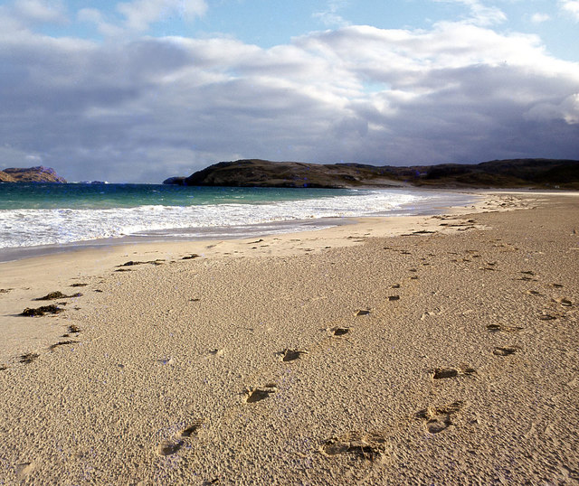
Tòb Bhàcasaigh Images
Images are sourced within 2km of 58.224877/-6.9168347 or Grid Reference NB1136. Thanks to Geograph Open Source API. All images are credited.


Tòb Bhàcasaigh is located at Grid Ref: NB1136 (Lat: 58.224877, Lng: -6.9168347)
Unitary Authority: Na h-Eileanan an Iar
Police Authority: Highlands and Islands
What 3 Words
///myths.jokers.wished. Near Carloway, Na h-Eileanan Siar
Nearby Locations
Related Wikis

Vacsay
Vacsay (Scottish Gaelic: Bhacsaigh from Old Norse "bakkiey" meaning "peat bank island") is one of the Outer Hebrides. It is off the west coast of Lewis...

Pabaigh Mòr
Pabay Mòr or Pabaigh Mòr is an uninhabited island in the Outer Hebrides of Scotland. == History == The island's name comes from papey, an Old Norse name...

Kneep
Kneep (Scottish Gaelic: Cnìp) is a village on the Isle of Lewis, in the Outer Hebrides, Scotland. Kneep is within the parish of Uig.Various archaeological...

Loch na Berie
Loch Na Berie is a broch in the Outer Hebrides of Scotland, located approximately 400 yards from the shore, and is thought to have been located on an island...
Have you been to Tòb Bhàcasaigh?
Leave your review of Tòb Bhàcasaigh below (or comments, questions and feedback).