Oban nam Forsanan
Sea, Estuary, Creek in Inverness-shire
Scotland
Oban nam Forsanan
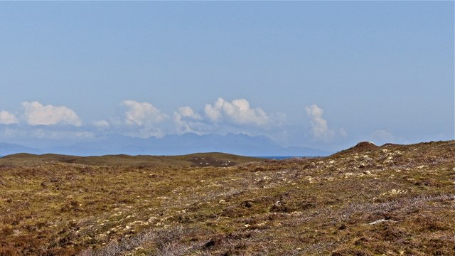
Oban nam Forsanan is a small coastal village located in Inverness-shire, Scotland. Nestled along the shores of the Sea, this picturesque settlement is known for its stunning natural beauty and tranquil ambiance. The name "Oban nam Forsanan" translates to "the little bay of the waterfalls," which aptly describes the area's unique geographical features.
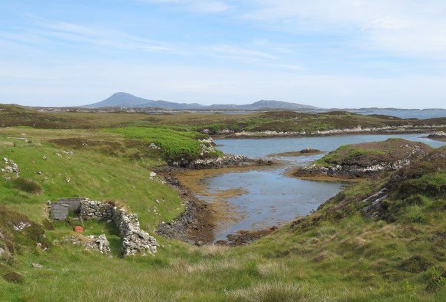
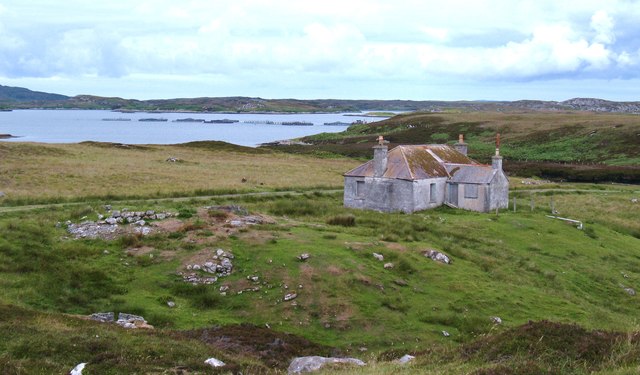
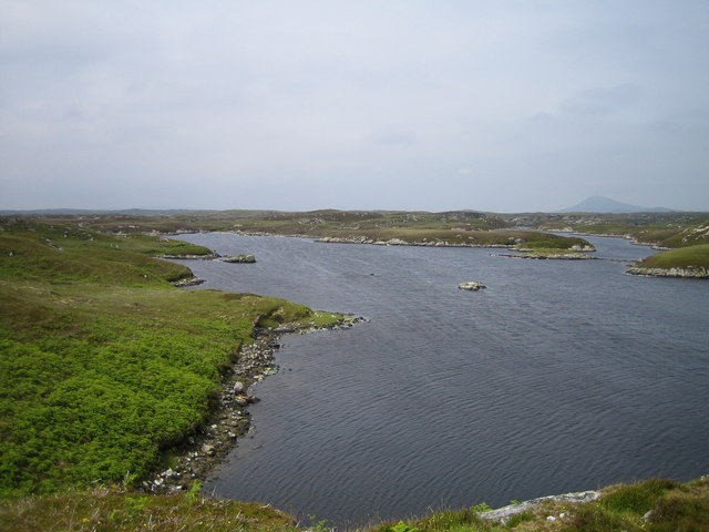
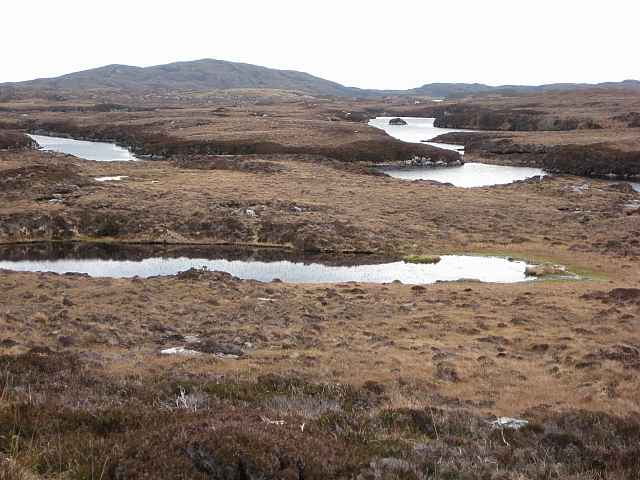
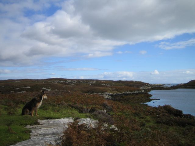
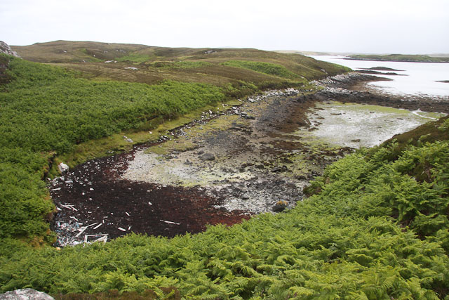
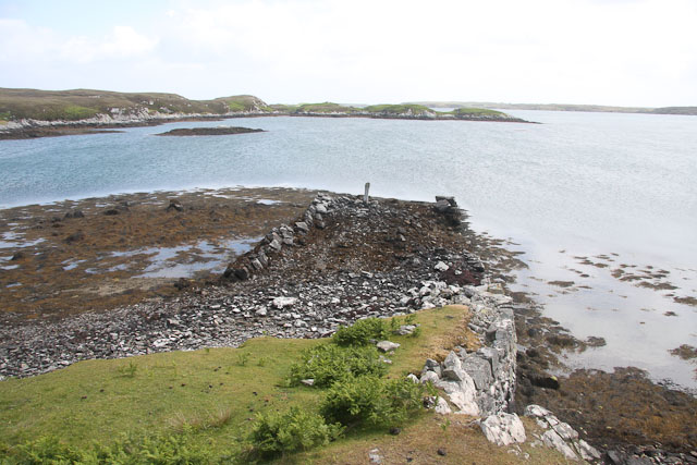
Situated at the mouth of a serene estuary, Oban nam Forsanan offers breathtaking views of the surrounding landscape. The estuary serves as a meeting point between the sea and a calm creek, creating an idyllic setting for boating and fishing enthusiasts. The creek gently winds its way through the village, adding to the overall charm of the area.
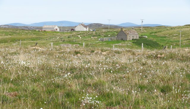
The village itself comprises a collection of traditional Scottish cottages, many of which date back several centuries. These quaint buildings, made from local stone, give Oban nam Forsanan a timeless appeal. Visitors can explore the narrow streets and discover local shops, cafes, and galleries, showcasing the area's rich cultural heritage.
Nature lovers are drawn to Oban nam Forsanan for its abundance of wildlife. The estuary and sea provide a habitat for a variety of marine species, including seals and seabirds. The surrounding hills and forests offer opportunities for hiking and birdwatching.
For those seeking a peaceful retreat or a taste of traditional Scottish coastal living, Oban nam Forsanan is an ideal destination. Its stunning sea, estuary, and creek, combined with its charming village atmosphere, make it a hidden gem in Inverness-shire.
If you have any feedback on the listing, please let us know in the comments section below.
Oban nam Forsanan Images
Images are sourced within 2km of 57.434182/-7.2503918 or Grid Reference NF8550. Thanks to Geograph Open Source API. All images are credited.
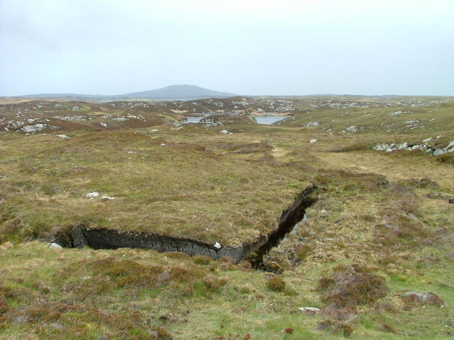
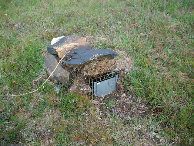
![A popular post box Maybe not so popular when it comes to the amount of mail that passes through it, but certainly popular with [currently] two thirds of geograph contributors who pass this way. The reason is that there is very little else of note in this square except for rough grassland and rather soggy moorland.](https://s1.geograph.org.uk/geophotos/06/20/89/6208981_6d9f61ef.jpg)
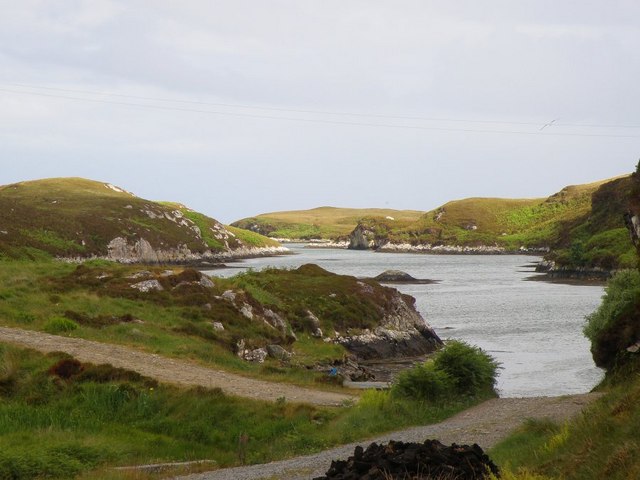
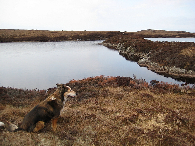
![On the shores of Loch Uiseabhagh Little visited [except by sheep] stretch of coastline in a remote corner of Benbecula.](https://s1.geograph.org.uk/geophotos/03/06/16/3061625_01f513f0.jpg)

Oban nam Forsanan is located at Grid Ref: NF8550 (Lat: 57.434182, Lng: -7.2503918)
Unitary Authority: Na h-Eileanan an Iar
Police Authority: Highlands and Islands
What 3 Words
///victory.lobby.replaying. Near Balivanich, Na h-Eileanan Siar
Nearby Locations
Related Wikis

Eileanan Chearabhaigh
Eileanan Chearabhaigh is a collection of small uninhabited tidal islands off the south east coast of Benbecula in the Outer Hebrides of Scotland. The English...

Grimsay (South East Benbecula)
Grimsay, south east of Benbecula is a tidal island of the Outer Hebrides. It is connected to Benbecula by a causeway which carries the B891. In the 2001...

Uist
Uist is a group of six islands that are part of the Outer Hebridean Archipelago, which is part of the Outer Hebrides of Scotland. North Uist and South...

Benbecula
Benbecula ( ; Scottish Gaelic: Beinn nam Fadhla or Beinn na Faoghla) is an island of the Outer Hebrides in the Atlantic Ocean off the west coast of Scotland...
Nearby Amenities
Located within 500m of 57.434182,-7.2503918Have you been to Oban nam Forsanan?
Leave your review of Oban nam Forsanan below (or comments, questions and feedback).