Bàgh Mòr

Sea, Estuary, Creek in Inverness-shire

Scotland

Bàgh Mòr

Sound of Eriskay shoreline The south coast of South Uist: low down the vegetation is a mix of heather and bracken with quite a few brambles.
Sound of Eriskay shoreline Credit: Richard Webb

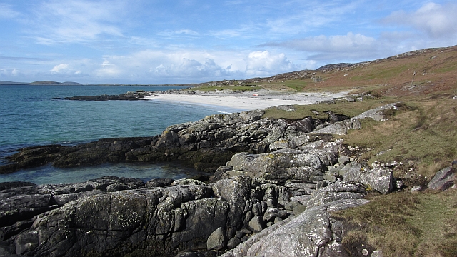
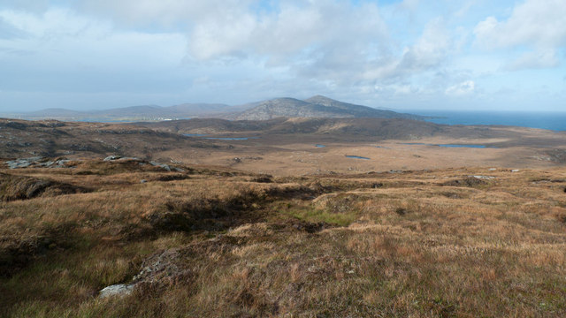
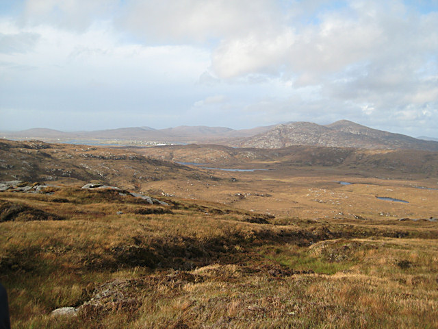
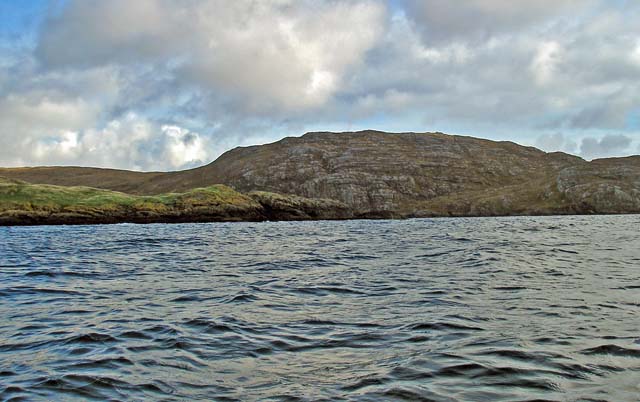
Bàgh Mòr is a prominent sea inlet located in the county of Inverness-shire in the Scottish Highlands. Also known as the Beauly Firth, it is situated on the northeastern coast of Scotland and is formed by the confluence of the Rivers Beauly and Moray Firth.

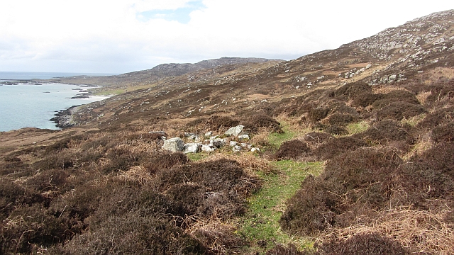
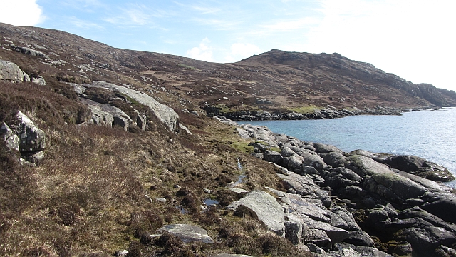
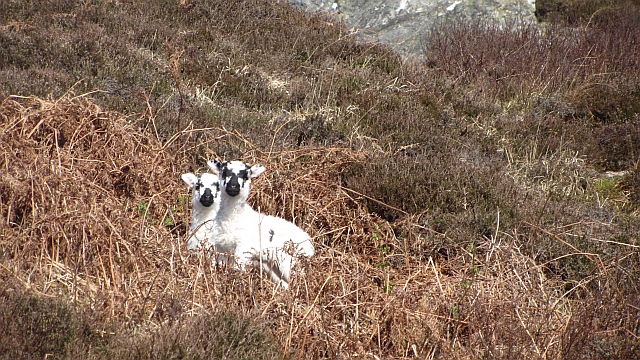
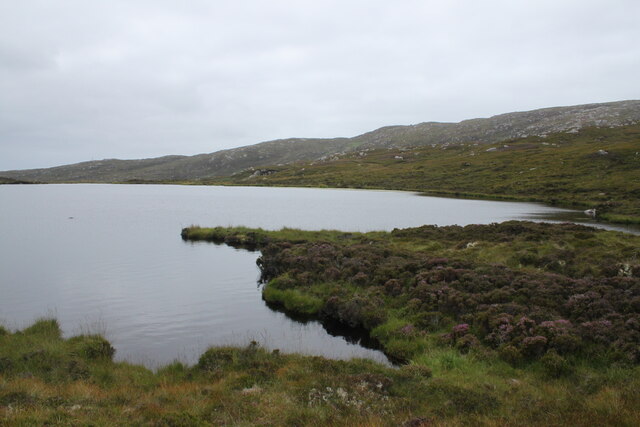
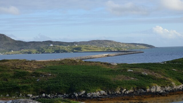
The estuary of Bàgh Mòr stretches approximately 20 miles (32 kilometers) from the village of Beauly to the town of Inverness, where it opens into the North Sea. It is characterized by its stunning natural beauty, with picturesque views of rolling hills, rugged cliffs, and expansive waterways. The surrounding landscape is rich in biodiversity, supporting a diverse range of marine and birdlife.

The tidal patterns in Bàgh Mòr are influenced by the North Sea and the Moray Firth, resulting in a mix of saltwater and freshwater. This unique blend creates an ideal habitat for various species of fish, including salmon and sea trout, making it a popular destination for anglers.

The area around Bàgh Mòr is also of historical and cultural significance. The nearby town of Inverness, known as the capital of the Highlands, offers a wealth of attractions, including the iconic Inverness Castle and the historic Culloden Battlefield.

Bàgh Mòr is not only a place of natural beauty but also offers recreational activities such as sailing, boating, and wildlife watching. Visitors can explore the estuary's shores and enjoy the tranquility of the surrounding countryside, making it a popular destination for nature enthusiasts and those seeking a peaceful retreat in the Scottish Highlands.

If you have any feedback on the listing, please let us know in the comments section below.
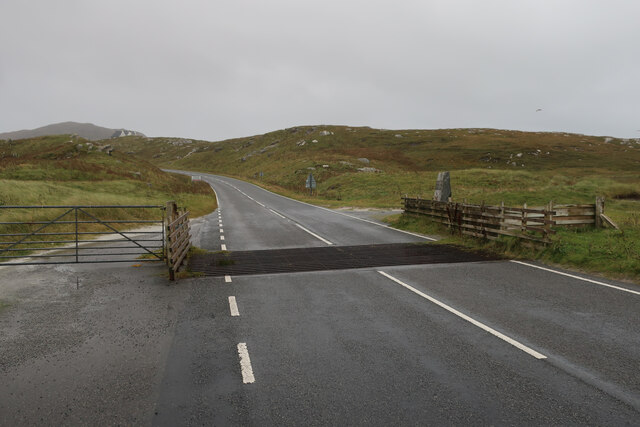
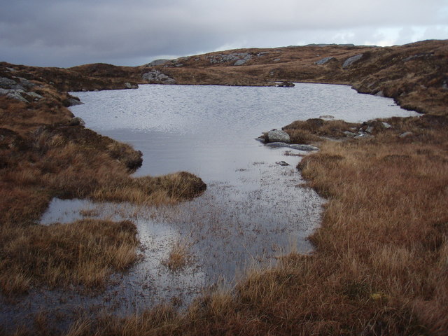
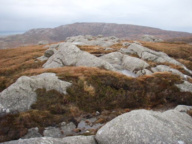
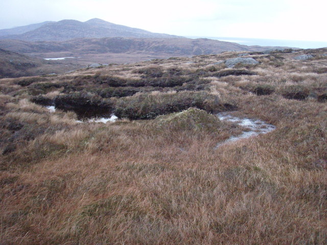
Bàgh Mòr Images

Images are sourced within 2km of 57.103673/-7.3032664 or Grid Reference NF7913. Thanks to Geograph Open Source API. All images are credited.

Sound of Eriskay shoreline The south coast of South Uist: low down the vegetation is a mix of heather and bracken with quite a few brambles.
Sound of Eriskay shoreline
The south coast of South Uist: low down the vegetation is a mix of heather and bracken with quite a few brambles.
Southern shore of South Uist White sandy beach and gneiss outcrops on the Sound of Eriskay.
Southern shore of South Uist
White sandy beach and gneiss outcrops on the Sound of Eriskay.
Southern shore of South Uist Gneiss outcropping on the Sound of Eriskay.
Southern shore of South Uist
Gneiss outcropping on the Sound of Eriskay.
Shieling ruin Ruin in moorland above Caolas Eirisgeigh
Shieling ruin
Ruin in moorland above Caolas Eirisgeigh
Path, south coast of South Uist A faint path speeds progress along the coast.
Path, south coast of South Uist
A faint path speeds progress along the coast.
Blackface lambs Moorland grazing on the south coast of South Uist.
Blackface lambs
Moorland grazing on the south coast of South Uist.
Fishbox Washed up on the shores of the Sound of Eriskay, a Royal Greenland fishbox, property of the government of Kalaallit Nunaat.  There were quite a few here from several places.
Fishbox
Washed up on the shores of the Sound of Eriskay, a Royal Greenland fishbox, property of the government of Kalaallit Nunaat. There were quite a few here from several places.
Lochan above South Glendale Lochan near the top of the path between North and South Glendale
Lochan above South Glendale
Lochan near the top of the path between North and South Glendale
Rear of Stone Commemorating opening of Eriskay Causeway in 2002
Causeway between Eriskay and South Uist View from South Uist.
Causeway between Eriskay and South Uist
View from South Uist.
Road onto Eriskay
Road onto Eriskay
Lochan below summit of Cruachan This is the more northerly of the pair marked on the map.
Lochan below summit of Cruachan
This is the more northerly of the pair marked on the map.
Summit of Cruachan Top of the hill anyway.  Too windy to really appreciate the view.
Summit of Cruachan
Top of the hill anyway. Too windy to really appreciate the view.
Moorland slopes of Cruachan Looking towards Gleann dail bho Tuath over where we walked earlier in the day.  The vicious showers making sure not only feet were wet after squelching through a lot of boggy ground.
Moorland slopes of Cruachan
Looking towards Gleann dail bho Tuath over where we walked earlier in the day. The vicious showers making sure not only feet were wet after squelching through a lot of boggy ground.
On Cruachan This is the view north, to Beinn Ruigh Choinnich and Triuirebheinn.
On Cruachan
This is the view north, to Beinn Ruigh Choinnich and Triuirebheinn.
Looking north from Cruachan For its relatively modest height, Cruachan offers extensive views. In this direction the view stretches across Gleann Dail bho Tuath, with the white houses of Lochboisdale just visible in the distance.
Looking north from Cruachan
For its relatively modest height, Cruachan offers extensive views. In this direction the view stretches across Gleann Dail bho Tuath, with the white houses of Lochboisdale just visible in the distance.
The Sound of Eriskay from Cruachan Small beach with ruined house, the sound of Eriskay and the Eriskay causeway with Barra in the distance.
The Sound of Eriskay from Cruachan
Small beach with ruined house, the sound of Eriskay and the Eriskay causeway with Barra in the distance.
Peat diggings by Bàgh Mòr The south coast of South Uist.
Peat diggings by Bàgh Mòr
The south coast of South Uist.
Show me another place!

Bàgh Mòr is located at Grid Ref: NF7913 (Lat: 57.103673, Lng: -7.3032664)

Unitary Authority: Na h-Eileanan an Iar

Police Authority: Highlands and Islands

What 3 Words

///musical.widest.carpentry. Near Lochboisdale, Na h-Eileanan Siar

Nearby Locations

Bàgh Mòr

Related Wikis

St Michael's Church, Eriskay

St Michael's Church (also known as St Michael's of the Sea) is a Category C listed building in Eriskay, South Uist, Scotland. Of Roman Catholic denomination...

Calvay

Calvay (Scottish Gaelic: Calbhaigh) is a currently uninhabited island situated in the Sound of Eriskay in the Outer Hebrides, at grid reference NF810126...

Easaval

Easaval (Scottish Gaelic: Easabhal) is one of the smallest hills on the island of South Uist in the Outer Hebrides of Scotland, with a height of 243 metres...

SS Politician

SS Politician was a cargo ship that ran aground off the coast of the Hebridean island of Eriskay in 1941. Her cargo included 22,000 cases of scotch whisky...

Have you been to Bàgh Mòr?

Leave your review of Bàgh Mòr below (or comments, questions and feedback).