King Road
Sea, Estuary, Creek in Somerset
England
King Road

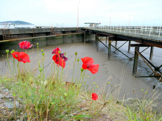
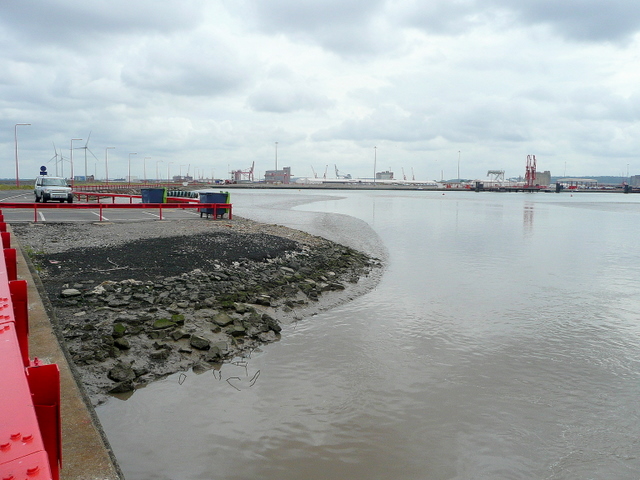
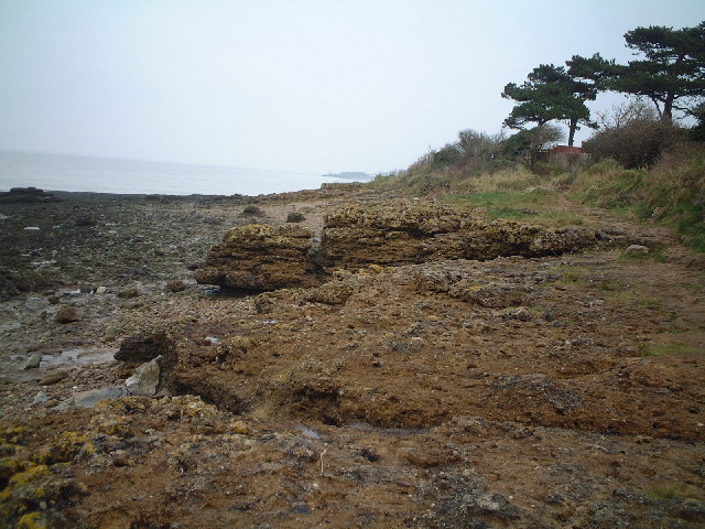
King Road is a picturesque area located in Somerset, England, renowned for its stunning sea views, estuaries, and creeks. Situated along the coast, this coastal road offers breathtaking vistas of the surrounding natural landscapes, making it a popular destination for tourists and locals alike.
The road runs parallel to the coastline, providing easy access to the sea. Visitors can enjoy long walks along the sandy beaches, breathe in the fresh sea air, and take in the panoramic views of the crystal-clear waters. The sea in this area is known for its calm and tranquil nature, making it an ideal spot for swimming, sailing, and other water activities.
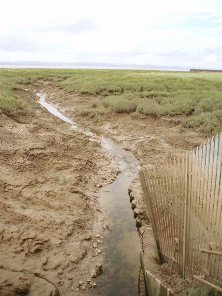
Additionally, King Road offers access to several estuaries and creeks that are teeming with diverse marine life. These estuaries are formed where rivers meet the sea, creating a unique ecosystem that attracts a variety of bird species, including herons, egrets, and seagulls. Nature enthusiasts can explore the creeks and estuaries, either by foot or by boat, to observe the rich biodiversity and enjoy the serene surroundings.
In addition to its natural beauty, King Road is also home to a charming village that offers a range of amenities. Visitors can find quaint cafes, cozy pubs, and local shops where they can indulge in traditional Somerset delicacies and purchase unique souvenirs.
Overall, King Road in Somerset is a haven for nature lovers and those seeking a peaceful coastal retreat. Its combination of stunning sea views, estuaries, and creeks make it a truly enchanting and memorable destination.
If you have any feedback on the listing, please let us know in the comments section below.
King Road Images
Images are sourced within 2km of 51.507893/-2.7365547 or Grid Reference ST4879. Thanks to Geograph Open Source API. All images are credited.


King Road is located at Grid Ref: ST4879 (Lat: 51.507893, Lng: -2.7365547)
Unitary Authority: Bristol
Police Authority: Avon and Somerset
What 3 Words
///scorpions.juicy.relief. Near Portishead, Somerset
Nearby Locations
Related Wikis

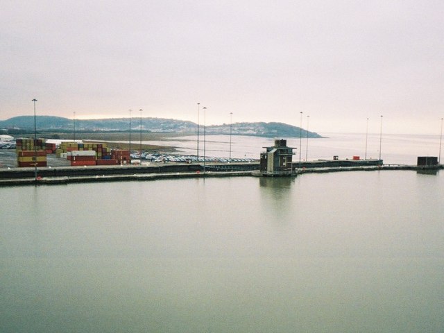
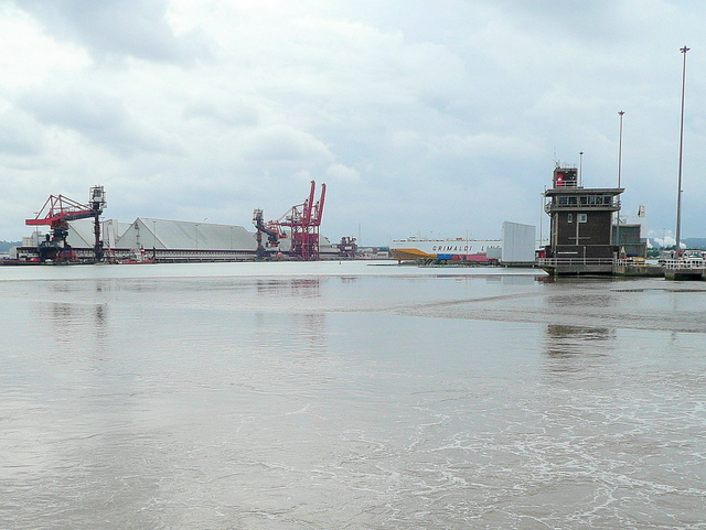
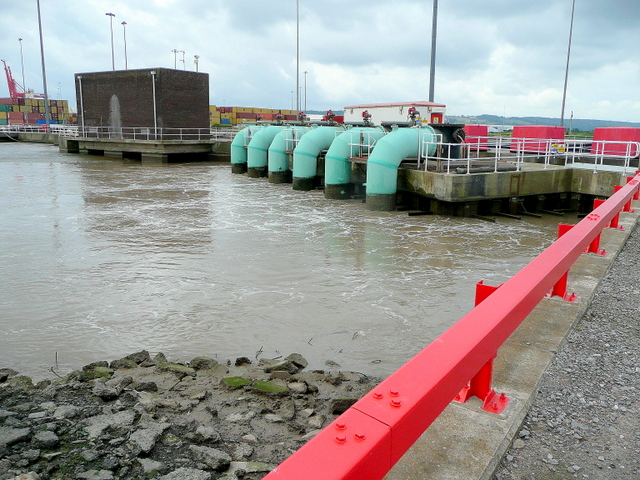
Port of Bristol
The Port of Bristol comprises the commercial, and former commercial, docks situated in and near the city of Bristol in England. The Port of Bristol Authority...
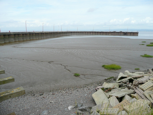
Portishead Pier to Black Nore SSSI
Portishead Pier to Black Nore SSSI (grid reference ST474778) is a 71.8 hectare geological Site of Special Scientific Interest near the town of Portishead...
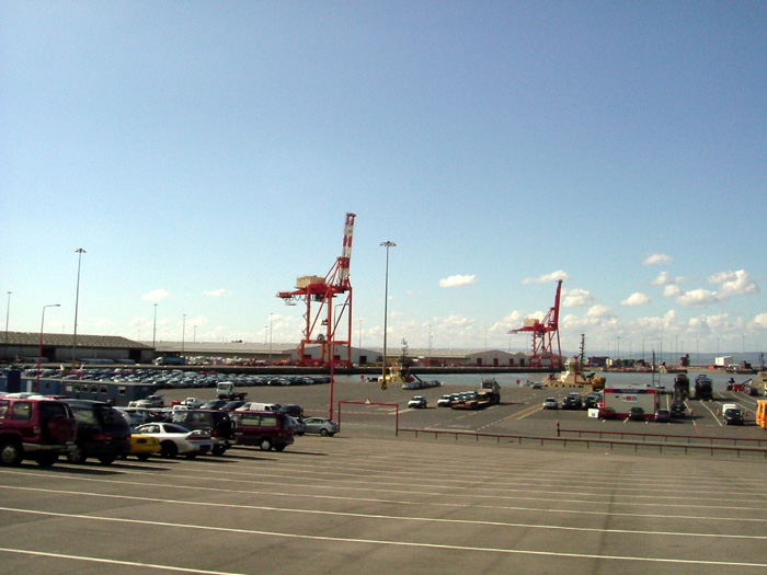
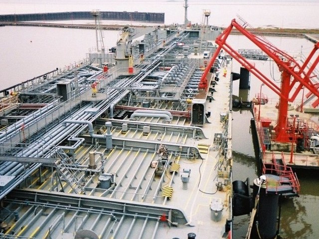
Royal Portbury Dock
The Royal Portbury Dock is part of the Port of Bristol, in England. It is situated near the village of Portbury on the southern side of the mouth of the...
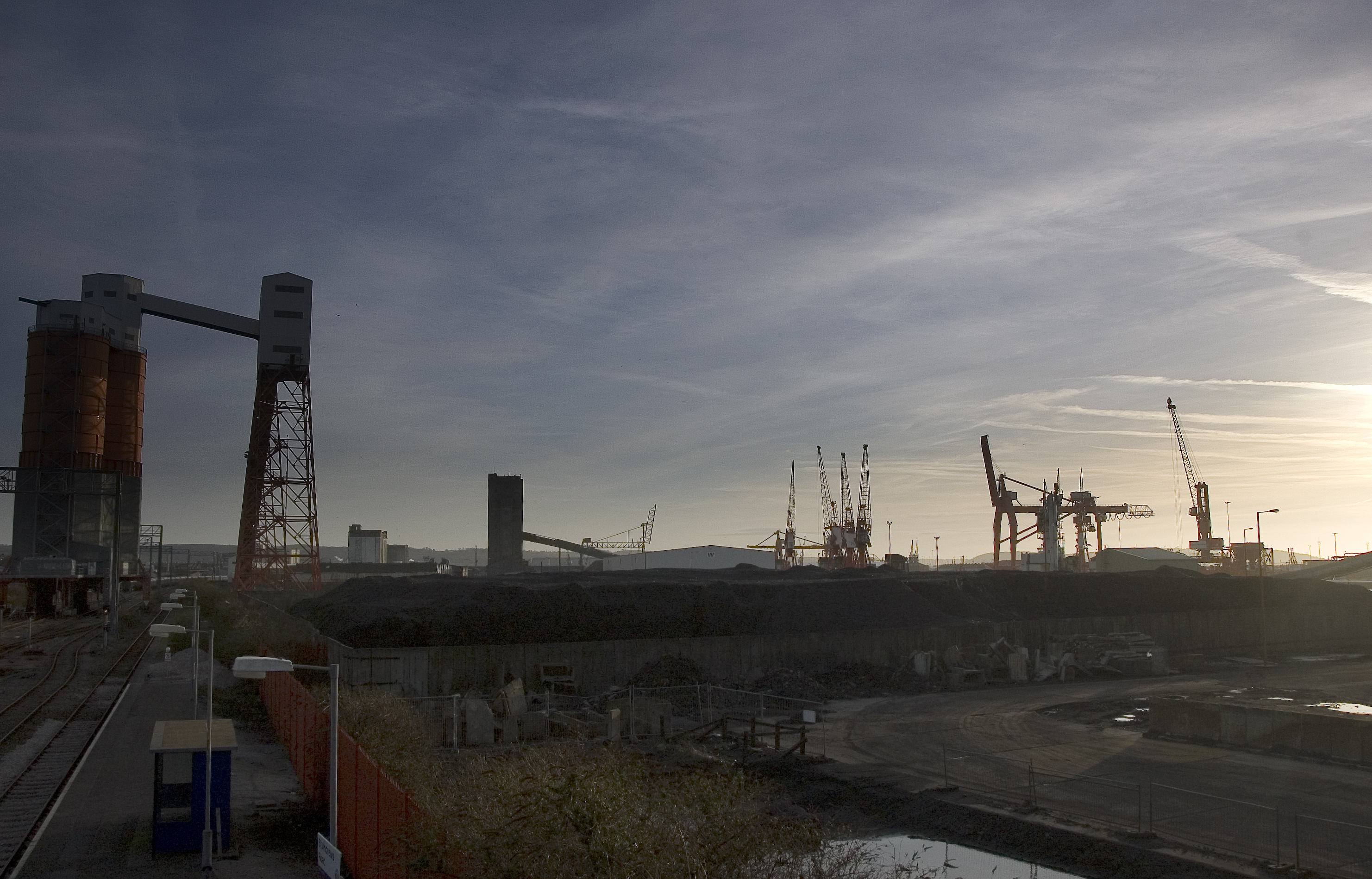
Avonmouth Docks
The Avonmouth Docks are part of the Port of Bristol, in England. They are situated on the northern side of the mouth of the River Avon, opposite the Royal...
Have you been to King Road?
Leave your review of King Road below (or comments, questions and feedback).