Ach a' Phubuil

Settlement in Argyllshire

Scotland

Ach a' Phubuil

Bridge strike plate This plate is attached to the narrow bridge which accesses Linnhe Holiday Park from the A830 over the railway line from Fort William to Mallaig. These plates are attached to every vehicular bridge in the UK which crosses a railway line.
Bridge strike plate Credit: Bill Kasman

Ach a' Phubuil is a small village located in Argyllshire, Scotland. Situated on the western coast of the country, it is nestled between the scenic Loch Fyne and the rolling hills of the Highlands. The village is part of the wider community of Argyll and Bute, and it is approximately 10 miles northwest of Inveraray, the administrative center of the region.

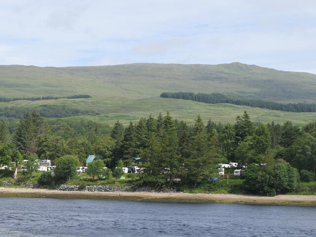
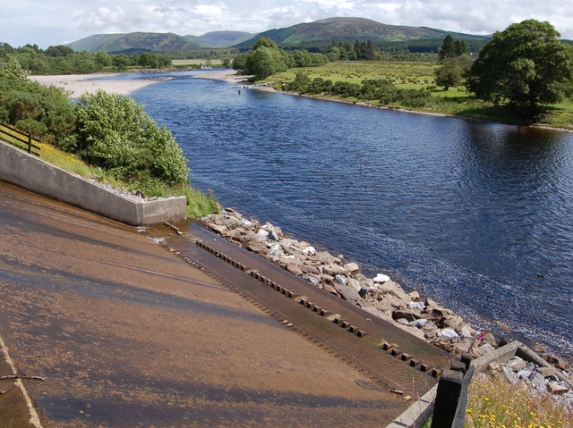
Ach a' Phubuil is known for its breathtaking natural beauty and tranquil atmosphere. The village offers stunning views of the surrounding landscapes, with picturesque vistas of the loch and the nearby mountains. The area is a popular destination for outdoor enthusiasts, offering opportunities for hiking, fishing, and wildlife spotting.

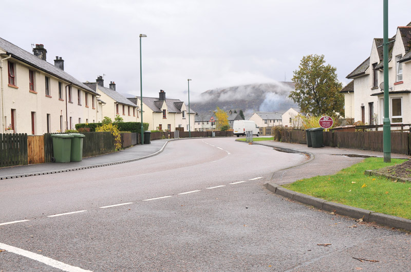
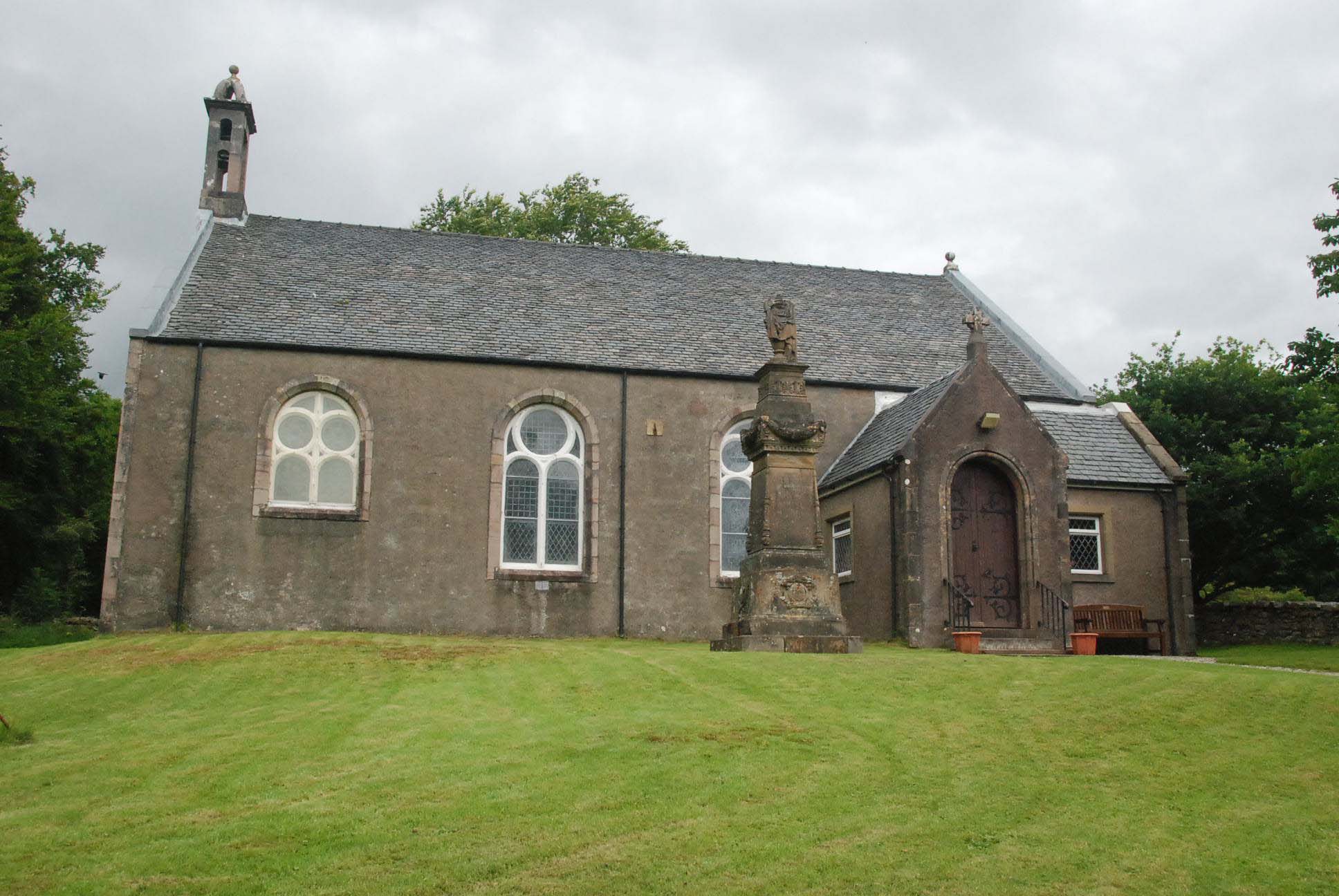
The village itself is small, with a close-knit community of residents. It is characterized by traditional Scottish architecture, with charming cottages and stone buildings lining its streets. The local economy is primarily based on tourism, with a few small businesses serving the needs of both visitors and locals.

Ach a' Phubuil is also home to a small primary school, which serves the educational needs of the village and the surrounding area. The village has limited amenities, but essential services can be found in nearby towns. The peaceful and idyllic setting of Ach a' Phubuil makes it an ideal retreat for those seeking a rural getaway in the heart of the Scottish Highlands.

If you have any feedback on the listing, please let us know in the comments section below.

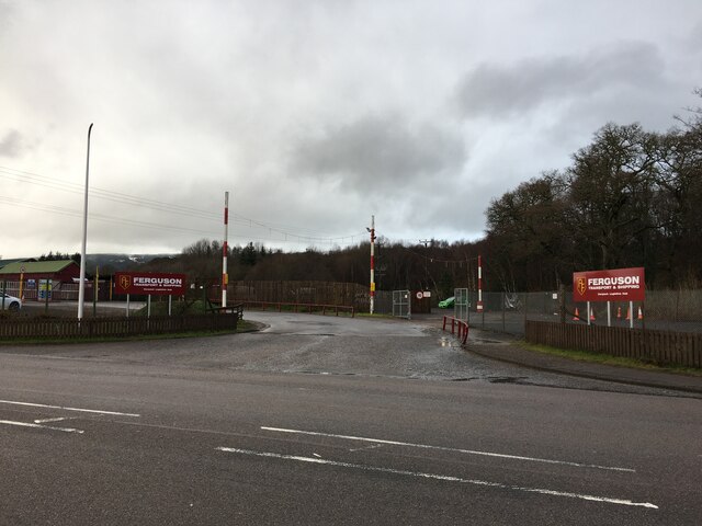
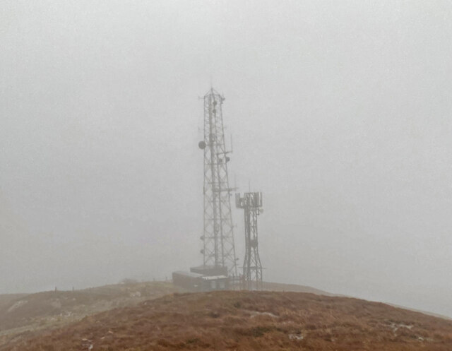
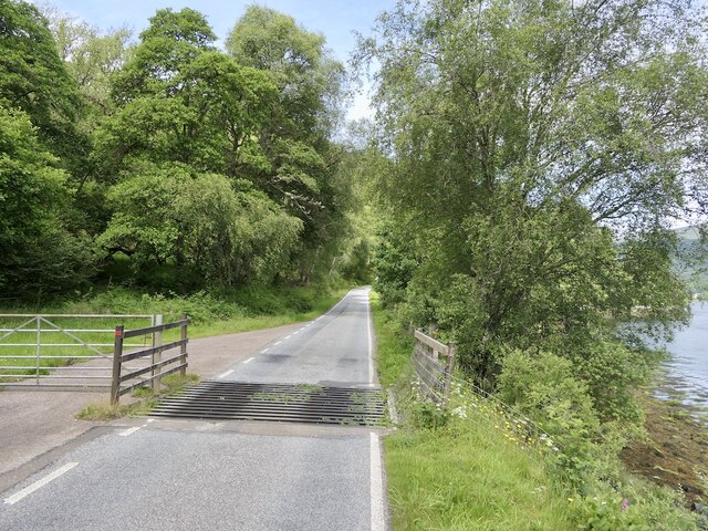
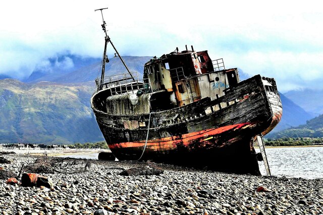
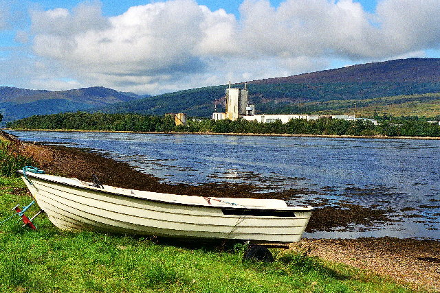
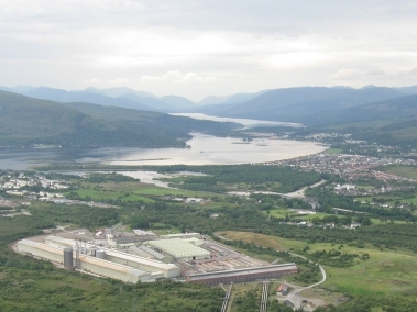
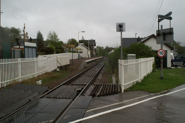
Ach a' Phubuil Images

Images are sourced within 2km of 56.835392/-5.143655 or Grid Reference NN0875. Thanks to Geograph Open Source API. All images are credited.

Bridge strike plate This plate is attached to the narrow bridge which accesses Linnhe Holiday Park from the A830 over the railway line from Fort William to Mallaig. These plates are attached to every vehicular bridge in the UK which crosses a railway line.
Bridge strike plate
This plate is attached to the narrow bridge which accesses Linnhe Holiday Park from the A830 over the railway line from Fort William to Mallaig. These plates are attached to every vehicular bridge in the UK which crosses a railway line.
Grassy slopes above Achaphubuil
Entrance to Ferguson Transport and Shipping Corpach Logistics Hub
A830 at Corpach
A830 at Corpach
Camusnagaul on a very dreich day
View from mast track to Camusnagaul
Restricted Access Sign on track to Camusnagaul
Masts at Camusnagaul
Sea lock at Corpach Vessels waiting for lock gate to be repaired to pass up Caledonian Canal.
Sea lock at Corpach
Vessels waiting for lock gate to be repaired to pass up Caledonian Canal.
Corpach Lock
Corpach Lock
The Narrows A tide race at the entrance to Loch Eil.
The Narrows
A tide race at the entrance to Loch Eil.
View across The Narrows Camp site on the Lochaber shore.
View across The Narrows
Camp site on the Lochaber shore.
Cattle grid, A861
Cattle grid, A861
Derelict water infrastructure near Corpach A lot of pump work is still in place but appears to be long disused. There is a small hydro station a short distance downstream.
Derelict water infrastructure near Corpach
A lot of pump work is still in place but appears to be long disused. There is a small hydro station a short distance downstream.
Shoreline, The Narrows View towards the exit from Loch Eil from the Ardgour shore.
Shoreline, The Narrows
View towards the exit from Loch Eil from the Ardgour shore.
MV Dayspring - 'The Corpach Wreck' The MV Dayspring has sat on the Kilmallie shoreline since it was washed ashore in a storm in December 2011.

The story of MV Dayspring <span class="nowrap"><a title="https://www.obantimes.co.uk/2019/06/07/one-man-and-a-boat-the-story-of-mv-dayspring/" rel="nofollow ugc noopener" href="https://www.obantimes.co.uk/2019/06/07/one-man-and-a-boat-the-story-of-mv-dayspring/">Link</a><img style="margin-left:2px;" alt="External link" title="External link - shift click to open in new window" src="https://s1.geograph.org.uk/img/external.png" width="10" height="10"/></span>
MV Dayspring - 'The Corpach Wreck'
The MV Dayspring has sat on the Kilmallie shoreline since it was washed ashore in a storm in December 2011. The story of MV Dayspring LinkExternal link
Ducks beside the Caledonian Canal at Corpach
Show me another place!

Ach a' Phubuil is located at Grid Ref: NN0875 (Lat: 56.835392, Lng: -5.143655)

Unitary Authority: Highland

Police Authority: Highlands and Islands

Also known as: Achaphubuil

What 3 Words

///tells.asked.afterglow. Near Fort William, Highland

Nearby Locations

Ach a' Phubuil Achaphubuil

Related Wikis

Achaphubuil

Achaphubuil (Scottish Gaelic: Achadh a' Phùbaill- the field of the tent or pavilion) is a small settlement to the north of Ardgour in Lochaber, in the...

Corpach

Corpach (Scottish Gaelic: A' Chorpaich) is a large village north of Fort William, in the Scottish Highlands. The canal lock at Corpach Basin on Loch Linnhe...

Corpach railway station

Corpach railway station is a railway station serving the village of Corpach in the Highland region of Scotland. This station is on the West Highland Line...

Trislaig

Trislaig (Scottish Gaelic: Trìoslaig) is a small coastal hamlet on the north eastern shores of Loch Linnhe, and is situated directly across from Fort...

Battle of Corpach

The Battle of Corpach was a Scottish clan battle in which the Clan Cameron routed the Clan Maclean. It took place around 1470 at Corpach, just north of...

River Lochy

The River Lochy flows southwest along the Great Glen from Loch Lochy to Loch Linnhe at Fort William in the West Highlands of Scotland. Its two major tributaries...

Caol

Caol (Gaelic: An Caol) is a village near Fort William, in the Highland council area of Scotland. It is about 1+1⁄4 miles (2 kilometres) north of Fort William...

Kilmallie

Kilmallie (Scottish Gaelic: Cill Mhàilidh) is a civil parish in Lochaber, in the west highlands of Scotland. It is centered on the village of Caol, near...

Nearby Amenities

Located within 500m of 56.835392,-5.143655
Post Box
Ref: PH33 23
Source: survey
Lat/Long: 56.8362082/-5.1492361
Railway: railway_crossing
Lat/Long: 56.8393834/-5.1473214
Power: pole
Lat/Long: 56.8342654/-5.1372905
Power: pole
Lat/Long: 56.833543/-5.1363728
Power: pole
Lat/Long: 56.834453/-5.1394943
Power: pole
Lat/Long: 56.8347634/-5.1391889
Power: pole
Lat/Long: 56.8354014/-5.1385436
Railway: buffer_stop
Lat/Long: 56.8396071/-5.1420952
Railway: switch
Lat/Long: 56.8395383/-5.1424774
Achaphubuil
Name Gd: Achadh a' Phùbaill
Place: hamlet
Lat/Long: 56.8358234/-5.1486096
Railway: switch
Lat/Long: 56.8395179/-5.1444068
Railway: switch
Lat/Long: 56.8394253/-5.1468439
Ford: yes
Lat/Long: 56.8338733/-5.1448143
The data included in this document is from www.openstreetmap.org. The data is made available under ODbL.

Have you been to Ach a' Phubuil?

Leave your review of Ach a' Phubuil below (or comments, questions and feedback).