Sound of Canna
Sea, Estuary, Creek in Argyllshire
Scotland
Sound of Canna
Sound of Canna is a picturesque body of water located in Argyllshire, Scotland. It is characterized by its stunning coastal views and tranquil atmosphere. The sound is formed by the convergence of the Atlantic Ocean and the Inner Hebrides, creating a unique blend of sea, estuary, and creek.
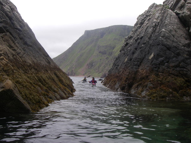
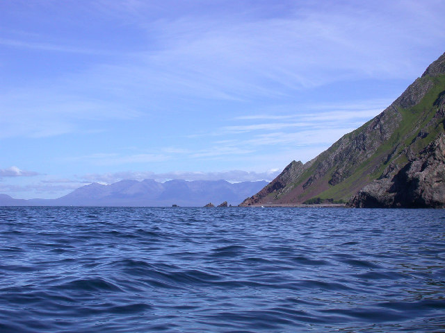
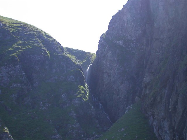
The Sound of Canna is surrounded by breathtaking natural beauty, with rugged cliffs and rolling hills providing a dramatic backdrop. The crystal-clear waters of the sound are a haven for marine life, including seals, dolphins, and various species of seabirds. The intertidal zone along the coastline teems with diverse marine flora and fauna, making it a popular spot for nature enthusiasts and birdwatchers.
The sound serves as a vital waterway for both leisure sailing and commercial fishing. Its sheltered nature provides a safe haven for boats seeking refuge from the sometimes turbulent waters of the Atlantic. The sound also acts as a gateway to the neighboring islands, offering opportunities for exploration and adventure.
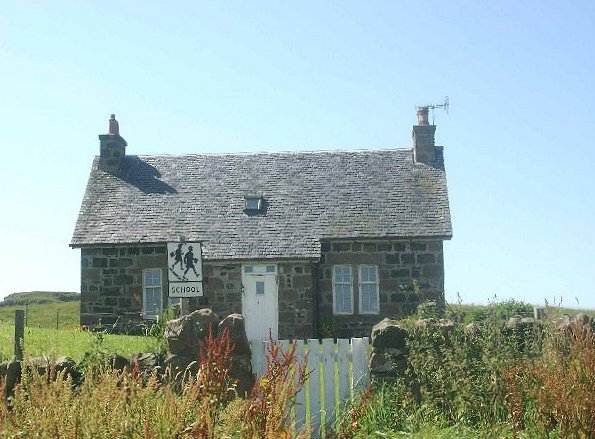
The surrounding area of Sound of Canna is home to a small but vibrant community. The village of Canna, located on the eastern shore of the sound, is a charming settlement with a rich history. Here, visitors can find a few shops, accommodations, and a welcoming local pub.
Overall, Sound of Canna is a hidden gem in the Scottish landscape, offering a unique blend of natural beauty, tranquility, and maritime activity. Whether one seeks a peaceful coastal retreat or an exciting maritime adventure, the sound provides an idyllic setting for both locals and visitors alike.
If you have any feedback on the listing, please let us know in the comments section below.
Sound of Canna Images
Images are sourced within 2km of 57.010021/-6.4644279 or Grid Reference NM2999. Thanks to Geograph Open Source API. All images are credited.
Sound of Canna is located at Grid Ref: NM2999 (Lat: 57.010021, Lng: -6.4644279)
Unitary Authority: Highland
Police Authority: Highlands and Islands
What 3 Words
///iced.enthusiast.illuminator. Near Elgol, Highland
Nearby Locations
Related Wikis
Sanday, Inner Hebrides
Sanday (Scottish Gaelic: Sandaigh; Scots: Sandee) is one of the Small Isles, in the Scottish Inner Hebrides. It is a tidal island linked to its larger...

St Edward's Church, Sanday
St Edward's Church, Sanday, is a deconsecrated, and now disused church on the small isle of Sanday, Inner Hebrides, Scotland. The church was a gift to...

St Columba's Church, Canna
St Columba's Church is a Category B listed building on the isle of Canna, in the Small Isles, Highland, Scotland. == History == Prior to the building of...

A' Chill
A' Chill was a village on Canna, in the Scottish Small Isles. The name means "the cell", referring to a Culdee church, and is often anglicised as "Kil...
Have you been to Sound of Canna?
Leave your review of Sound of Canna below (or comments, questions and feedback).