Anderson's Meadow
Urban Greenspace in Norfolk Norwich
England
Anderson's Meadow
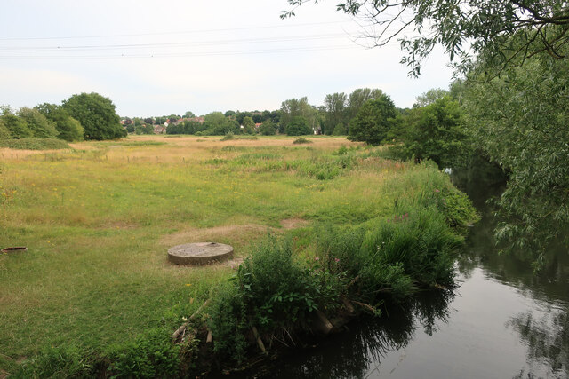
Anderson's Meadow is a picturesque urban greenspace located in Norfolk, England. Situated in close proximity to the bustling city center, it offers a tranquil escape from the urban hustle and bustle. Spanning approximately 10 acres, the meadow boasts a diverse range of flora and fauna, making it a haven for nature enthusiasts and wildlife lovers alike.
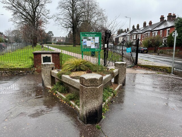
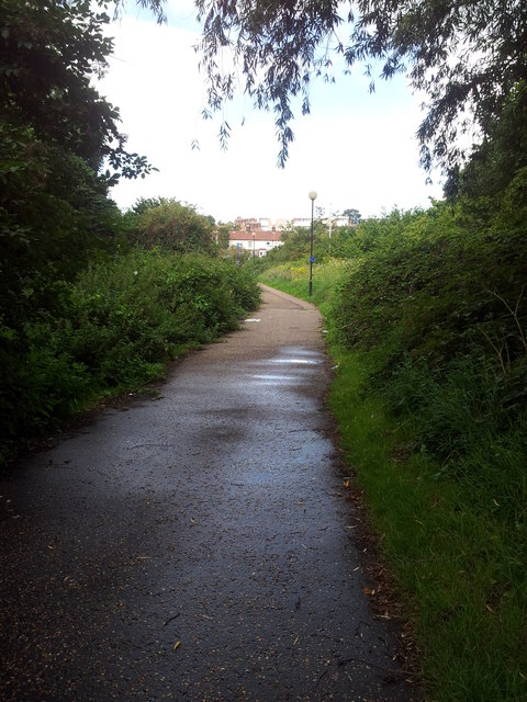
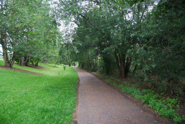
The meadow is characterized by its lush green grass, interspersed with clusters of wildflowers that paint the landscape with vibrant colors during the spring and summer months. It is crisscrossed by meandering footpaths, providing visitors with an opportunity to explore the area at their leisure. These paths are well-maintained, making it accessible to people of all ages and abilities.
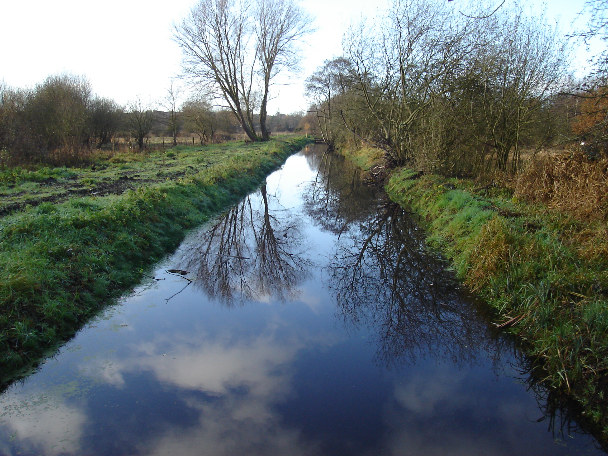
Anderson's Meadow is also home to a small river that gently flows through the landscape, adding to its natural charm. The river attracts a variety of bird species, including ducks, swans, and herons, creating a pleasant ambiance with their gentle calls and graceful movements.
The meadow is equipped with several picnic areas, making it an ideal spot for families and friends to gather and enjoy a leisurely day out. Additionally, there are benches strategically placed throughout the area, providing visitors with the perfect vantage points to admire the surrounding beauty.
The meadow is not only a recreational space but also serves an important ecological purpose. Its rich biodiversity supports a range of insects, birds, and small mammals, contributing to the overall health of the local ecosystem.
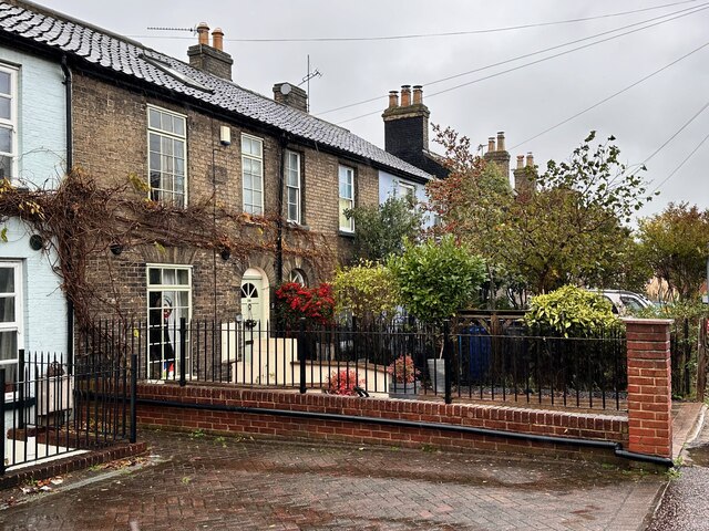
Overall, Anderson's Meadow is a cherished greenspace in Norfolk, offering a serene escape from urban life while providing a valuable habitat for wildlife. Its natural beauty and accessibility make it a popular destination for both locals and visitors alike.
If you have any feedback on the listing, please let us know in the comments section below.
Anderson's Meadow Images
Images are sourced within 2km of 52.642043/1.2781378 or Grid Reference TG2109. Thanks to Geograph Open Source API. All images are credited.


Anderson's Meadow is located at Grid Ref: TG2109 (Lat: 52.642043, Lng: 1.2781378)
Administrative County: Norfolk
District: Norwich
Police Authority: Norfolk
What 3 Words
///modest.view.charmingly. Near Norwich, Norfolk
Nearby Locations
Related Wikis

Fat Cat, Norwich
The Fat Cat is a pub at 49 West End Street, Norwich, Norfolk, England. It was CAMRA's National Pub of the Year for 1998 and 2004.It is run by the Fat...
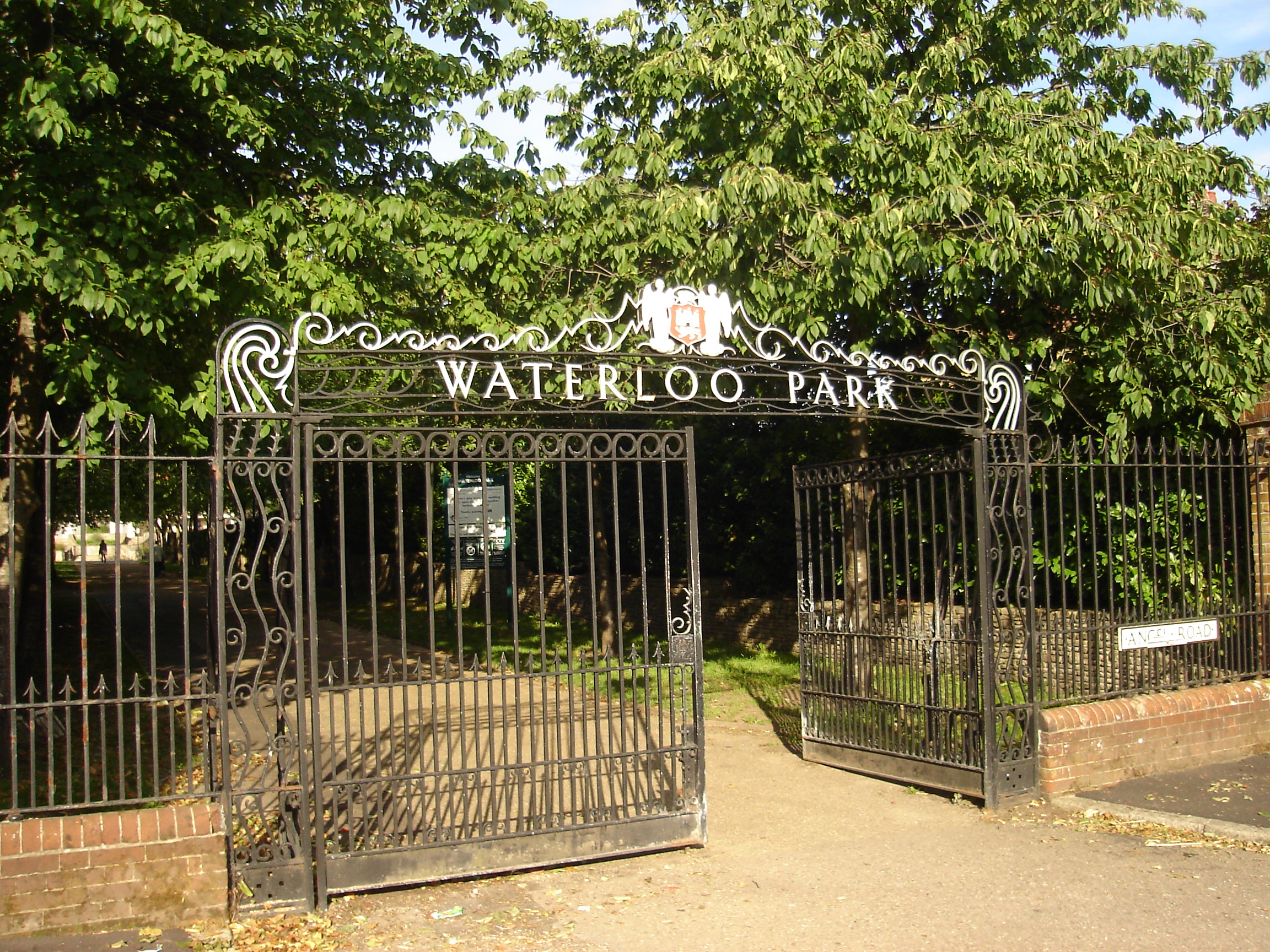
Waterloo Park, Norwich
Waterloo Park is a Grade II* listed public park in Norwich, Norfolk. It forms one of a set of public parks established in Norwich in the 1930s by Captain...

Mile Cross Estate, Norwich
Mile Cross Estate is a council estate in Norwich, England. The population of the Mile Cross Ward in Norwich at the 2011 census was 10,655. == Location... ==
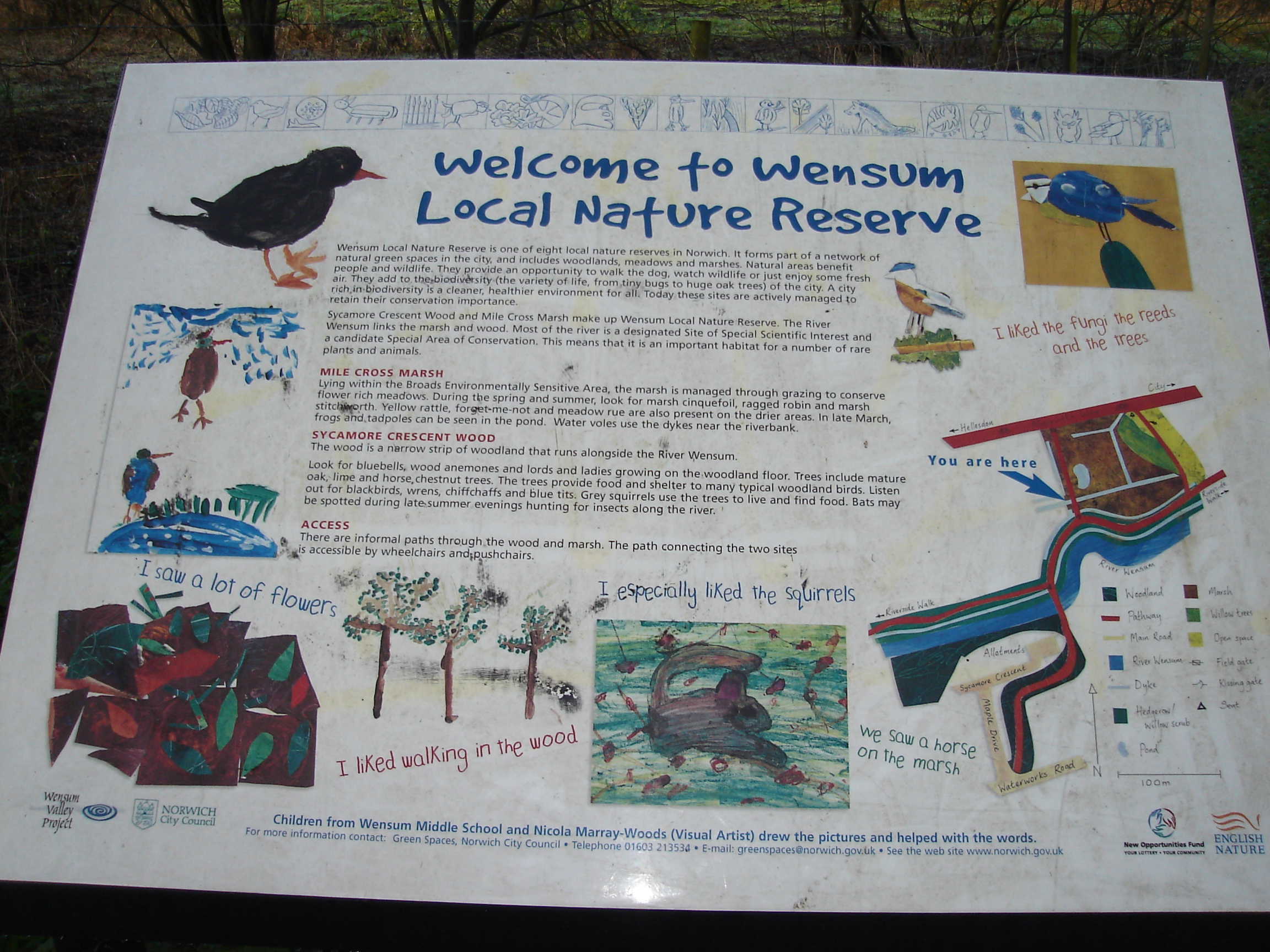
Wensum Local Nature Reserve
Wensum Local Nature Reserve or Wensum Valley is a Local Nature Reserve in Norwich in the English county of Norfolk. The reserve consists of two sites;...
Sweetbriar Road Meadows, Norwich
Sweetbriar Road Meadows is a 9.7-hectare (24-acre) biological Site of Special Scientific Interest in Norwich in Norfolk. == Description == Enclosed between...
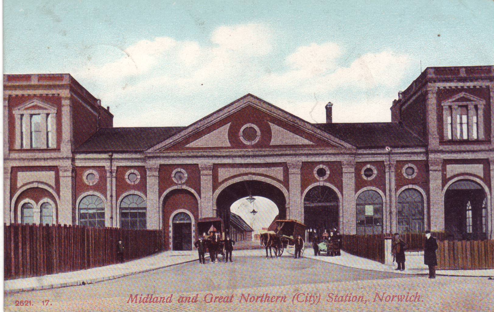
Norwich City railway station
Norwich City railway station was located in Norwich, Norfolk, England and was closed in 1969. == History == The station was opened in 1882 by the Lynn...
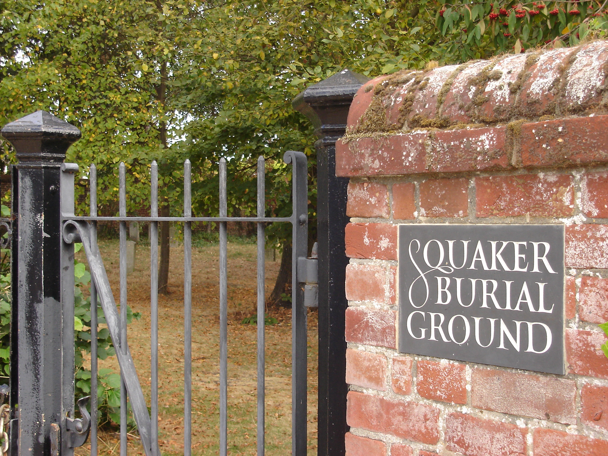
Gildencroft Quaker Cemetery, Norwich
The Gildencroft Quaker Cemetery is a historic cemetery in Chatham Street, Norwich, Norfolk, England, where many of the city's Quakers, including the writer...
St Augustine's Church, Norwich
St Augustine's Church is a redundant Anglican church building in the city of Norwich, Norfolk, England. It is recorded in the National Heritage List for...
Nearby Amenities
Located within 500m of 52.642043,1.2781378Have you been to Anderson's Meadow?
Leave your review of Anderson's Meadow below (or comments, questions and feedback).