Empty Common
Urban Greenspace in Cambridgeshire Cambridge
England
Empty Common

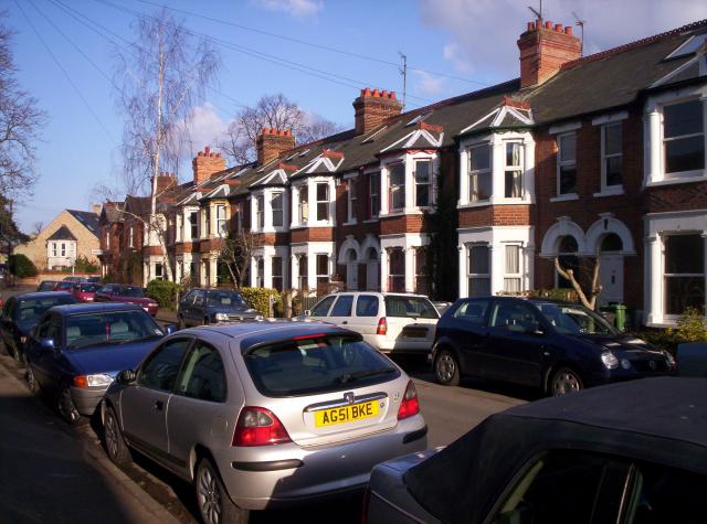
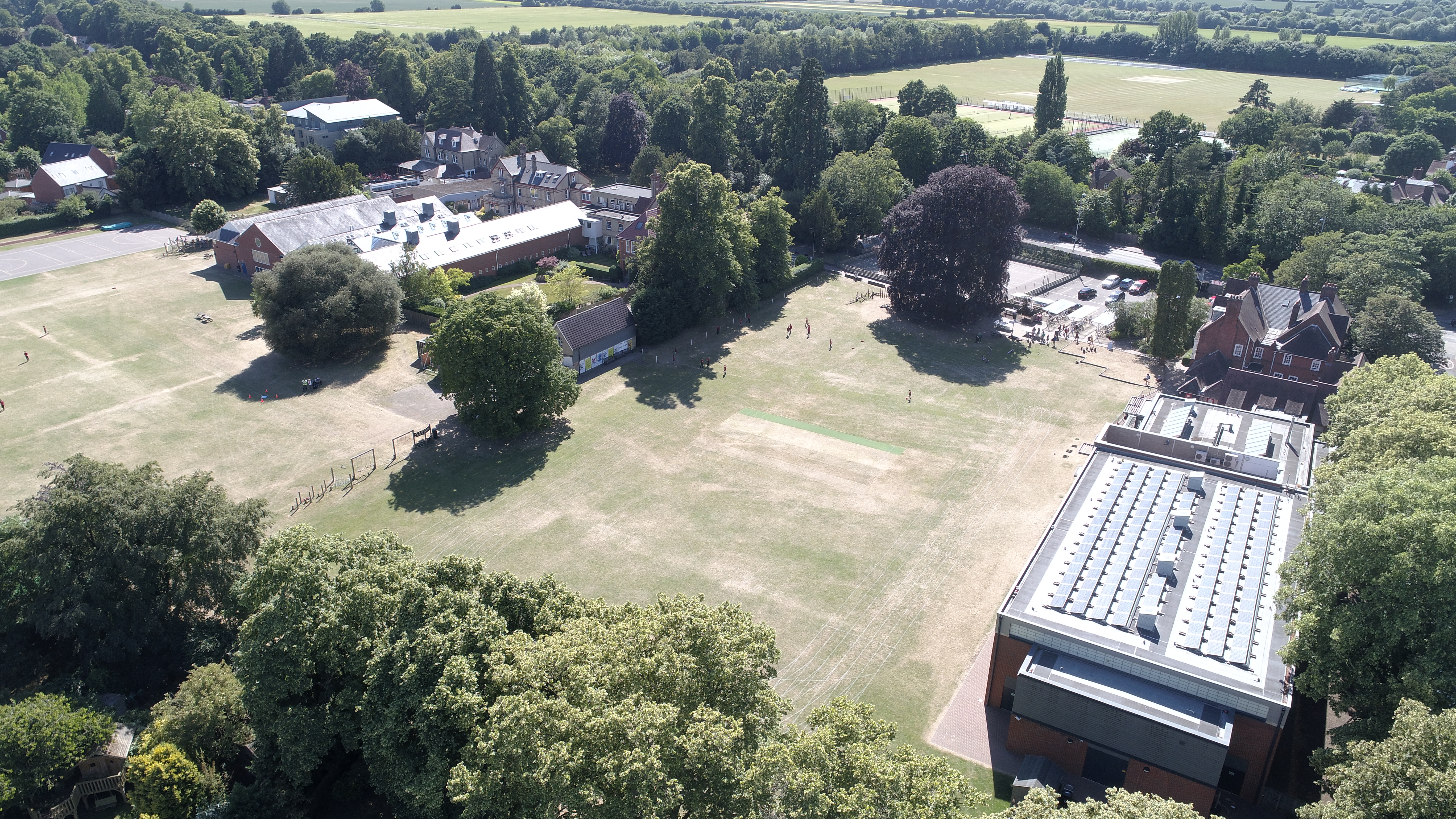
Empty Common is a picturesque urban greenspace located in Cambridgeshire, England. Spanning over 26 acres, it is a popular recreational area that offers a serene escape from the bustling city life. The common is situated just south of the city center, making it easily accessible to both locals and visitors alike.
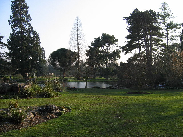
The common features a diverse landscape, with open grassland, woodlands, and a small pond. This variety of habitats attracts a wide range of wildlife, including birds, butterflies, and various species of plants and flowers. It is not uncommon to spot rabbits, foxes, and even the occasional deer roaming freely in the area.
A network of well-maintained footpaths crisscrosses the common, allowing visitors to explore and enjoy the natural beauty of the surroundings. Many people take advantage of these paths for leisurely walks, jogging, or cycling. The tranquil atmosphere and lush greenery also make Empty Common a popular spot for picnics and family outings.
The common holds significant historical and cultural value as well. It has been a public space since the 19th century, providing a place for recreational activities and community gatherings. Over the years, it has witnessed various events and celebrations, contributing to its vibrant and lively atmosphere.
Overall, Empty Common offers a peaceful retreat from the urban environment, providing a haven for both nature enthusiasts and those seeking relaxation. With its scenic landscapes, diverse wildlife, and rich history, it remains a cherished greenspace in Cambridgeshire.
If you have any feedback on the listing, please let us know in the comments section below.
Empty Common Images
Images are sourced within 2km of 52.190782/0.12560886 or Grid Reference TL4556. Thanks to Geograph Open Source API. All images are credited.


Empty Common is located at Grid Ref: TL4556 (Lat: 52.190782, Lng: 0.12560886)
Administrative County: Cambridgeshire
District: Cambridge
Police Authority: Cambridgeshire
What 3 Words
///grows.flag.spins. Near Cambridge, Cambridgeshire
Nearby Locations
Related Wikis
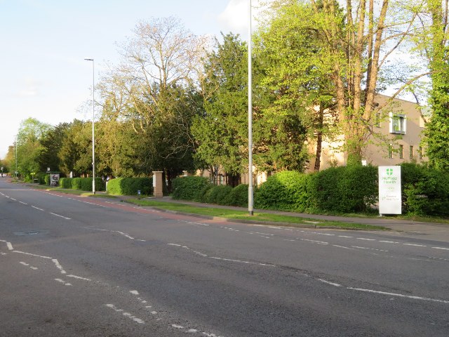
Nuffield Health Cambridge Hospital
Nuffield Health Cambridge Hospital is a private hospital in Cambridge, England. == History == The facility was founded by C Morland Agnew as the Evelyn...

Accordia
Accordia is a housing development in Cambridge, England. The 9.5-hectare (23.5-acre) site includes 378 dwellings by Feilden Clegg Bradley Architects, Maccreanor...
St Faith's School
St Faith's School is a private preparatory day school on Trumpington Road, Cambridge, England, for girls and boys aged four to thirteen. The headmaster...
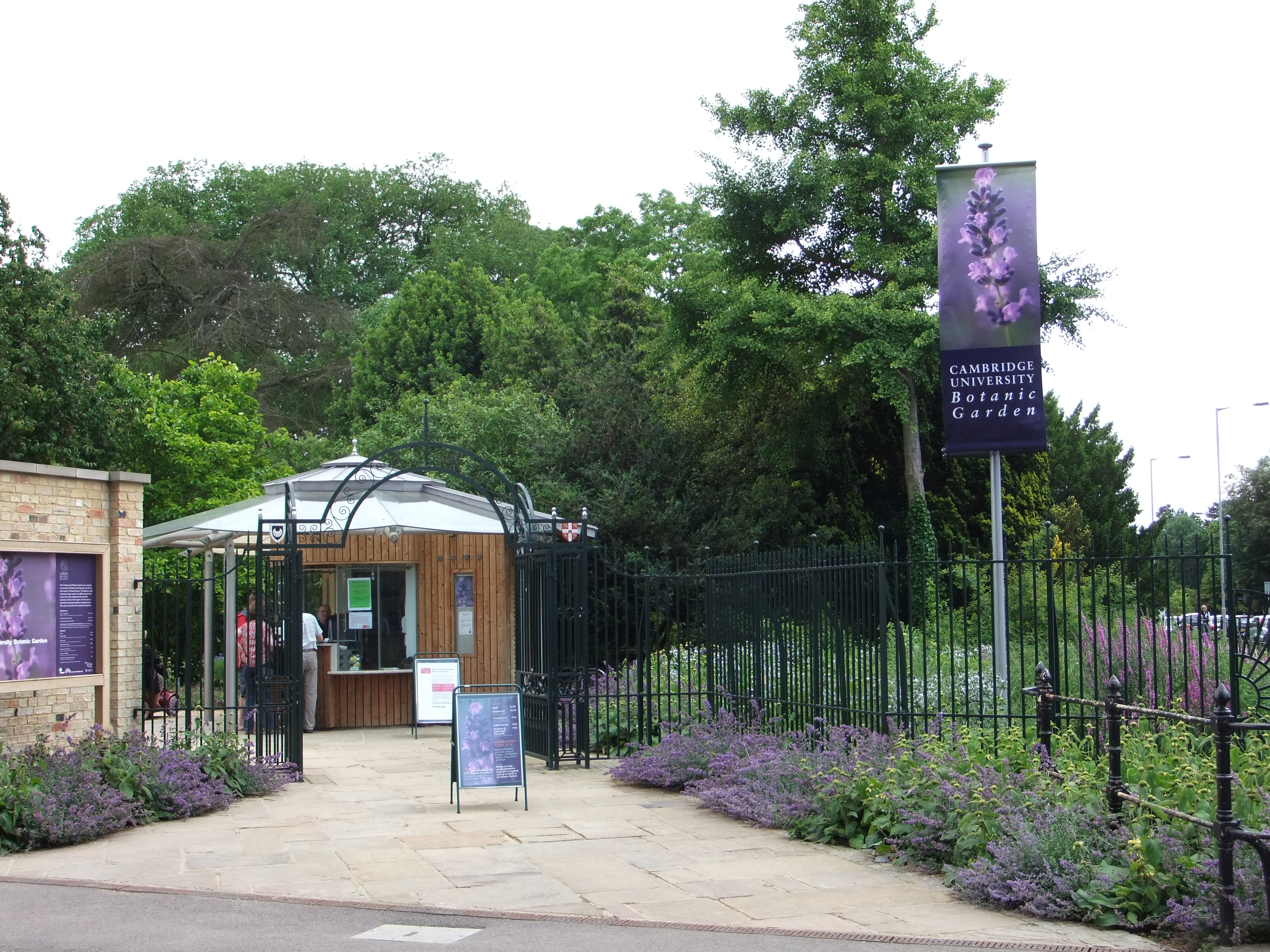
Cambridge University Botanic Garden
The Cambridge University Botanic Garden is a botanical garden located in Cambridge, England, associated with the university Department of Plant Sciences...

Trumpington Road
Trumpington Road is an arterial road (part of the A1134) in southeast central Cambridge, England. It runs between the junction of Trumpington Street and...
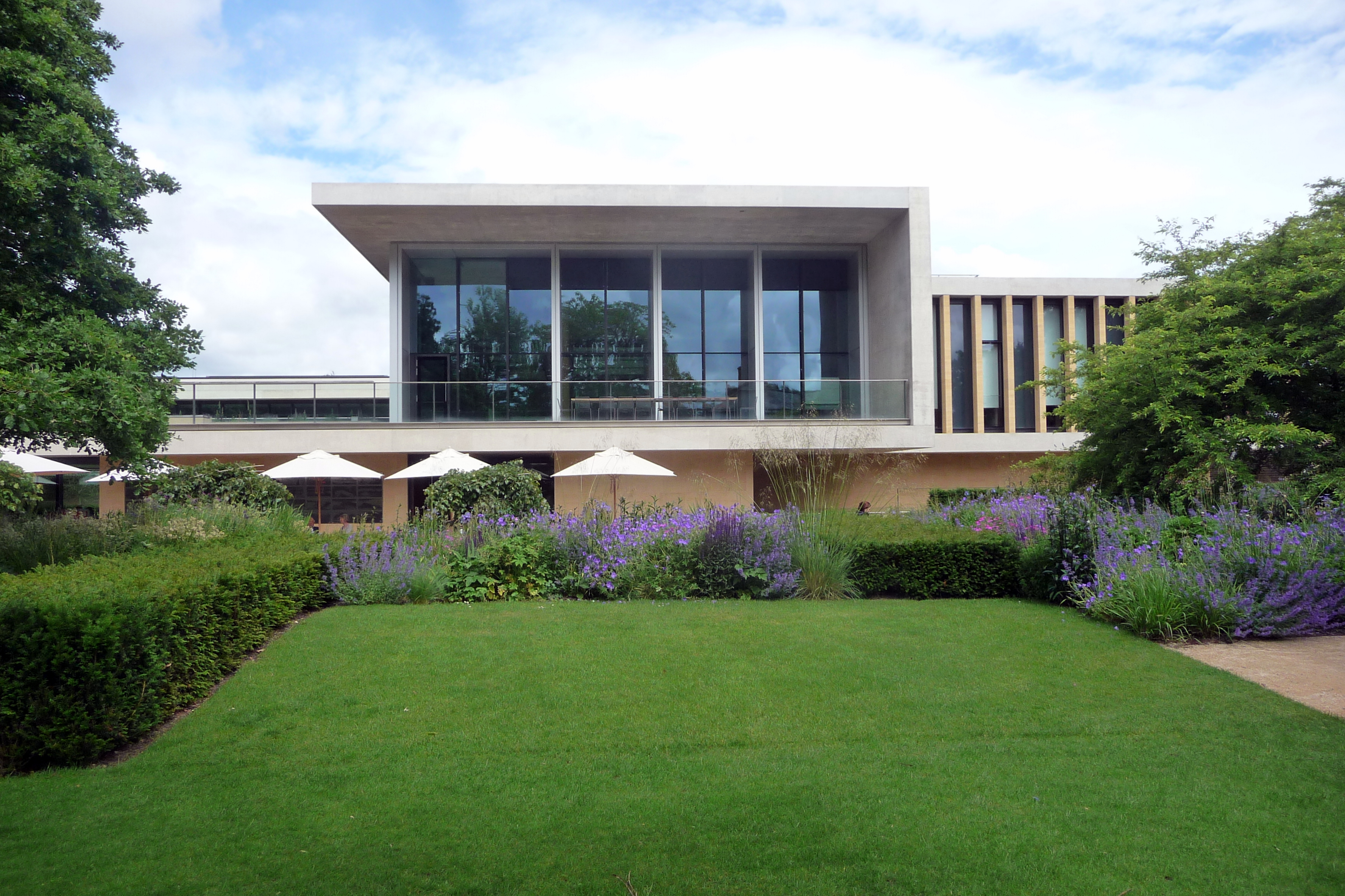
Sainsbury Laboratory Cambridge University
The Sainsbury Laboratory Cambridge University (or SLCU) is located in Cambridge University Botanic Garden. Its aim is to elucidate the regulatory systems...

MRC Cognition and Brain Sciences Unit
The Cognition and Brain Sciences Unit is a branch of the UK Medical Research Council, based in Cambridge, England. The CBSU is a centre for cognitive neuroscience...
St Mary's School, Cambridge
St Mary's School, Cambridge, England, is a private Christian school run in the Catholic tradition, offering day and boarding provision for girls aged three...
Nearby Amenities
Located within 500m of 52.190782,0.12560886Have you been to Empty Common?
Leave your review of Empty Common below (or comments, questions and feedback).