King Edward's Green
Urban Greenspace in Surrey Reigate and Banstead
England
King Edward's Green

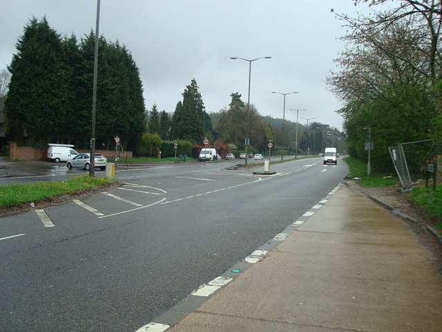
King Edward's Green is a charming urban greenspace located in Surrey, England. Covering an area of approximately 1.5 hectares, this green oasis provides a peaceful respite from the hustle and bustle of city life.
The green is named after King Edward VII, who often visited the area during his reign. It is nestled within a residential neighborhood and is easily accessible to both locals and visitors alike. The space is well-maintained and offers a range of amenities for recreational activities and relaxation.
The focal point of King Edward's Green is a beautifully landscaped central lawn, adorned with colorful flower beds and mature trees. This area provides a picturesque setting for picnics, sunbathing, or simply enjoying the tranquility of the surroundings. Benches are strategically placed around the perimeter of the lawn, offering seating options for visitors.
In addition to the central lawn, the green features a small pond, which is home to various aquatic plants and wildlife. The pond adds to the natural beauty of the space and attracts birds and other small animals, making it a popular spot for birdwatching enthusiasts.
The greenspace also includes a children's play area, equipped with swings, slides, and climbing frames. This ensures that King Edward's Green caters to families, providing a safe and enjoyable space for children to play and explore.
Overall, King Edward's Green is a well-loved and cherished greenspace in Surrey. Its carefully designed layout, variety of amenities, and natural beauty make it a popular destination for individuals and families seeking a peaceful retreat in an urban environment.
If you have any feedback on the listing, please let us know in the comments section below.
King Edward's Green Images
Images are sourced within 2km of 51.295655/-0.16802255 or Grid Reference TQ2756. Thanks to Geograph Open Source API. All images are credited.


King Edward's Green is located at Grid Ref: TQ2756 (Lat: 51.295655, Lng: -0.16802255)
Administrative County: Surrey
District: Reigate and Banstead
Police Authority: Surrey
What 3 Words
///bolt.supper.moved. Near Coulsdon, London
Nearby Locations
Related Wikis
Hooley
Hooley is a village in the borough of Reigate and Banstead in Surrey, England. Within its small grid of streets is the 13th-century church of Chipstead...

Chipstead F.C.
Chipstead Football Club is a football club based in Chipstead, near Banstead, in Surrey, England. Affiliated to the Surrey County Football Association...
Tooting Bec F.C.
Tooting Bec Football Club is a football club based in Tooting Bec, Greater London, England. They are currently members of the Southern Counties East League...

Shabden Park
Shabden Park is a 103-hectare (250-acre) nature reserve in Chipstead in Surrey. It is owned by Surrey County Council and managed by the Surrey Wildlife...
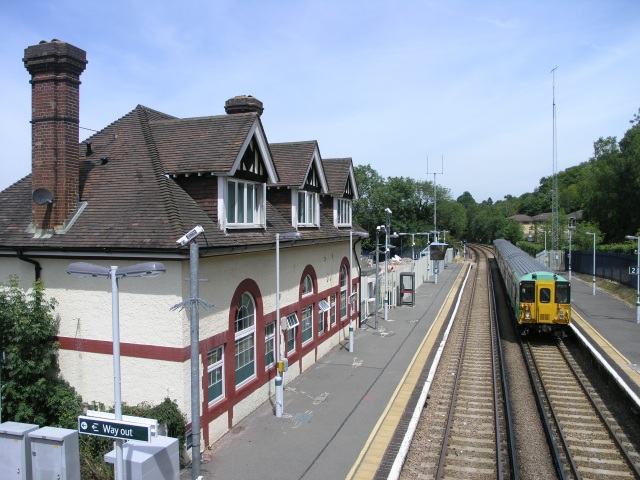
Chipstead railway station
Chipstead railway station serves the village of Chipstead in Surrey. It is a late-Victorian station on the Tattenham Corner Line and was opened in 1897...

Fames Rough
Fames Rough is a 23-hectare (57-acre) nature reserve south-west of Chipstead in Surrey. It is managed by the Surrey Wildlife Trust and is part of the...
Chipstead Downs
Chipstead Downs is a 157.8-hectare (390-acre) biological Site of Special Scientific Interest south-east of Banstead in Surrey, England. Part of it is Park...
Coulsdon Town F.C.
Coulsdon Town Football Club was a football club based in Coulsdon, Greater London, England. == History == The club was established in 1968 as Reedham Park...
Nearby Amenities
Located within 500m of 51.295655,-0.16802255Have you been to King Edward's Green?
Leave your review of King Edward's Green below (or comments, questions and feedback).