Larks Green
Urban Greenspace in Northamptonshire
England
Larks Green
Larks Green is a charming urban greenspace located in Northamptonshire, England. Situated in the heart of the county, this tranquil area is a popular destination for both locals and visitors seeking respite from the bustling city life. Larks Green spans across approximately 10 acres of lush greenery, making it an ideal spot for leisurely strolls, picnics, and outdoor activities.
The park features a well-maintained network of walking trails, ensuring easy access to all corners of the greenspace. These paths meander through rolling hills, open meadows, and pockets of shady woodland, offering visitors a diverse range of landscapes to explore. The park also boasts a small pond, home to various species of waterfowl and other wildlife, providing a serene backdrop for relaxation and nature observation.
Larks Green prides itself on its commitment to biodiversity and conservation. The park is home to a rich variety of flora and fauna, with wildflowers, ancient trees, and rare plant species residing within its boundaries. The local authorities have implemented sustainable practices to maintain the park's ecological balance, ensuring the preservation of its natural heritage for future generations.
For families, Larks Green offers a well-equipped children's play area, complete with swings, slides, and climbing frames. This makes it an ideal destination for parents looking to entertain their little ones while enjoying the great outdoors.
Overall, Larks Green is a cherished greenspace in Northamptonshire, providing a haven of tranquility and natural beauty within an urban setting. Its diverse landscapes, commitment to conservation, and family-friendly amenities make it a cherished destination for all nature enthusiasts.
If you have any feedback on the listing, please let us know in the comments section below.
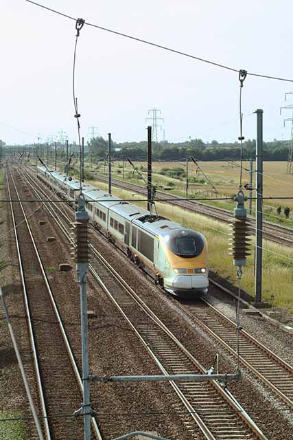
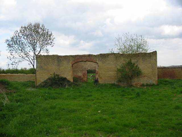
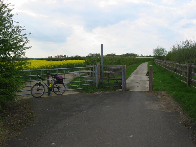
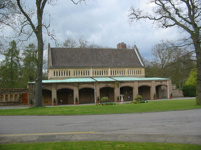
Larks Green Images
Images are sourced within 2km of 52.621451/-0.28386786 or Grid Reference TF1604. Thanks to Geograph Open Source API. All images are credited.


Larks Green is located at Grid Ref: TF1604 (Lat: 52.621451, Lng: -0.28386786)
Division: Soke of Peterborough
Unitary Authority: Peterborough
Police Authority: Cambridgeshire
What 3 Words
///price.dime.vibe. Near Glinton, Cambridgeshire
Nearby Locations
Related Wikis
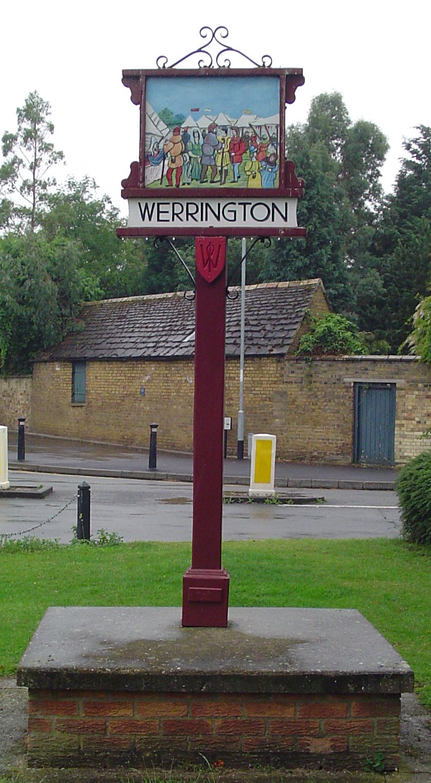
Werrington, Peterborough
Werrington is a residential area of the city of Peterborough, in the ceremonial county of Cambridgeshire, England. For electoral purposes it comprises...
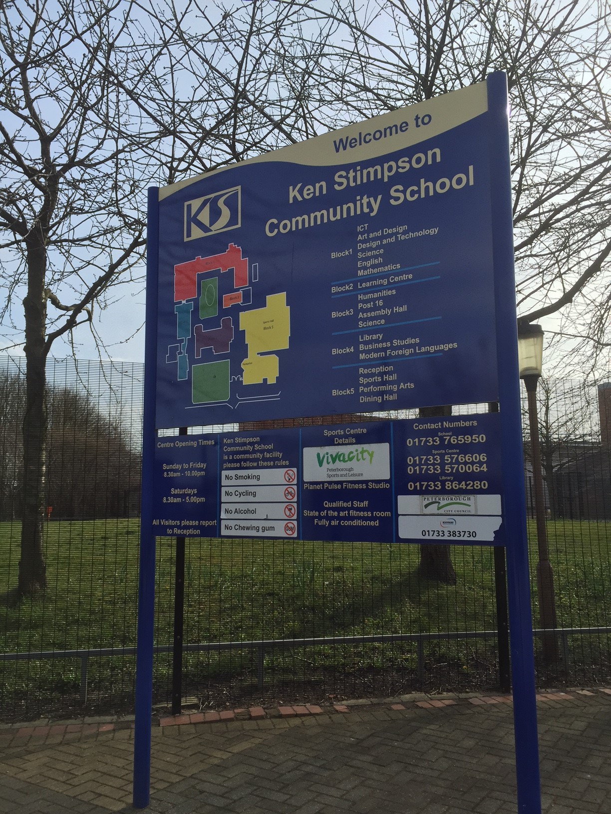
Ken Stimpson Academy
Ken Stimpson Academy is a co-educational secondary school and sixth form located in Peterborough in the English county of Cambridgeshire. The school is...

Werrington Dive Under
Werrington Dive Under (also known as the Werrington Grade Separation) is a replacement dual track grade separated railway junction at Werrington Junction...
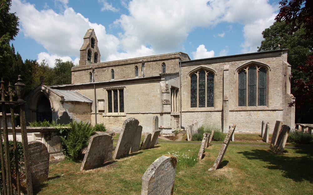
Peakirk
Peakirk is a village and civil parish in the Peterborough district, in the ceremonial county of Cambridgeshire, England. For local government purposes...

Queen Katharine Academy
The Queen Katharine Academy (formerly The Voyager Academy and The Voyager School) is a secondary school with academy status in Peterborough in the United...

Walton railway station (Cambridgeshire)
Walton railway station was a station in Walton, Cambridgeshire. It was on the Midland Railway's Syston and Peterborough Railway line between Peterborough...
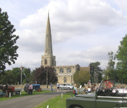
Glinton, Cambridgeshire
Glinton is a village in the north of the City of Peterborough unitary authority area in Cambridgeshire, England. Historically in Northamptonshire, it has...
Arthur Mellows Village College
Arthur Mellows Village College is a secondary school in Glinton in the local authority of Peterborough. The college is an academy with a specialism in...
Nearby Amenities
Located within 500m of 52.621451,-0.28386786Have you been to Larks Green?
Leave your review of Larks Green below (or comments, questions and feedback).