Amberswood Common

Urban Greenspace in Lancashire

England

Amberswood Common

Holy Family Roman Catholic Church, Platt Bridge 
 The Parish was founded in 1893, previously having been served as a mission by priests from Saint William's Parish, Ince.  The first  church, erected in 1895 was second hand brought by canal and then carted-up past the site of the school in Wigan Street and on to Lily Lane by the men of the parish. The tin church was closed on 7th May 1959 and the congregation moved to Holy Family Parochial Hall, Toll Street. The foundation stone for the new Church was laid by the Most Reverend John Carmel Heenan Archbishop of Liverpool on 11th October 1959. It opened on 2nd December 1960. In 2016 the Church was refurbished and modernised.
Holy Family Roman Catholic Church, Platt Bridge Credit: Gerald England

Amberswood Common is an urban greenspace located in the county of Lancashire, England. It covers an area of approximately 160 hectares and is situated on the outskirts of the town of Wigan. The common is characterized by its diverse landscape, which includes woodlands, meadows, wetlands, and ponds.

The common is a popular destination for locals and visitors alike, offering a tranquil escape from the bustle of urban life. It is managed by the local council and is designated as a Local Nature Reserve, highlighting its importance for wildlife conservation. The common is home to a wide range of flora and fauna, including rare and endangered species such as the great crested newt and the northern willowherb.

Amberswood Common boasts several walking trails and footpaths, providing opportunities for outdoor activities and exploration. The woodlands offer a peaceful retreat for nature enthusiasts, with ancient trees and a rich variety of bird species. The meadows are a haven for wildflowers, attracting butterflies and bees during the summer months.

In addition to its natural beauty, Amberswood Common also has a rich cultural history. The area was once a coal mining site, and remnants of the industry can still be seen in the form of old mine workings and railway lines.

Overall, Amberswood Common in Lancashire is a cherished urban greenspace that offers a unique blend of natural beauty, wildlife conservation, and historical significance. It provides a valuable resource for the local community and serves as an important habitat for a wide range of plant and animal species.

If you have any feedback on the listing, please let us know in the comments section below.

Amberswood Common Images

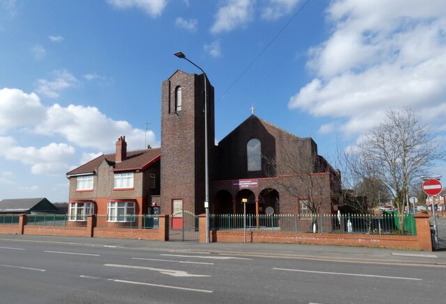
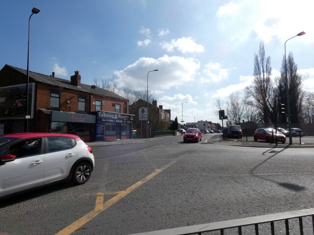
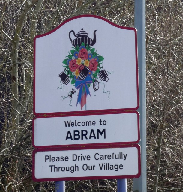
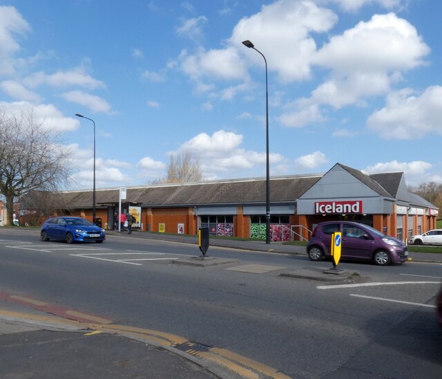
Images are sourced within 2km of 53.53346/-2.5961577 or Grid Reference SD6004. Thanks to Geograph Open Source API. All images are credited.

Holy Family Roman Catholic Church, Platt Bridge 
 The Parish was founded in 1893, previously having been served as a mission by priests from Saint William's Parish, Ince.  The first  church, erected in 1895 was second hand brought by canal and then carted-up past the site of the school in Wigan Street and on to Lily Lane by the men of the parish. The tin church was closed on 7th May 1959 and the congregation moved to Holy Family Parochial Hall, Toll Street. The foundation stone for the new Church was laid by the Most Reverend John Carmel Heenan Archbishop of Liverpool on 11th October 1959. It opened on 2nd December 1960. In 2016 the Church was refurbished and modernised.
Holy Family Roman Catholic Church, Platt Bridge
The Parish was founded in 1893, previously having been served as a mission by priests from Saint William's Parish, Ince. The first church, erected in 1895 was second hand brought by canal and then carted-up past the site of the school in Wigan Street and on to Lily Lane by the men of the parish. The tin church was closed on 7th May 1959 and the congregation moved to Holy Family Parochial Hall, Toll Street. The foundation stone for the new Church was laid by the Most Reverend John Carmel Heenan Archbishop of Liverpool on 11th October 1959. It opened on 2nd December 1960. In 2016 the Church was refurbished and modernised.
Junction of the A58 and A573 
The A58 bears right at Platt Bridge towards Ashton in Makerfield while the A573 continues through Abram towards Warrington.
Junction of the A58 and A573
The A58 bears right at Platt Bridge towards Ashton in Makerfield while the A573 continues through Abram towards Warrington.
Welcome to Abram 
Village sign on the A573 <a href="https://www.geograph.org.uk/photo/7129819">SD6002 : Junction of the A58 and A573</a>.
Welcome to Abram
Village sign on the A573 SD6002 : Junction of the A58 and A573.
Iceland, Platt Bridge Frozen food store.
Iceland, Platt Bridge
Frozen food store.
Platt Bridge Co-op
Platt Bridge Co-op
Hindley Business Centre Based on the former Prospect Mill which was a large weaving mill. Business occupy both original parts of the mill and various more modern buildings.
Hindley Business Centre
Based on the former Prospect Mill which was a large weaving mill. Business occupy both original parts of the mill and various more modern buildings.
St John's Methodist Church, Hindley An unusually large building for a Methodist congregation. Built 1890-1 by William Waddington & Son, coursed rubble with red sandstone dressings, Listed Grade II.
St John's Methodist Church, Hindley
An unusually large building for a Methodist congregation. Built 1890-1 by William Waddington & Son, coursed rubble with red sandstone dressings, Listed Grade II.
Fortified facility, Hindley 'Gents only' toilet (now closed) with terracotta battlements, attached to an electricity substation. The latter has a fine terracotta date plaque on the end wall.
Fortified facility, Hindley
'Gents only' toilet (now closed) with terracotta battlements, attached to an electricity substation. The latter has a fine terracotta date plaque on the end wall.
Hindley Council Offices Opened in 1903 following the creation of Hindley Urban District in 1894. Designed by Heaton, Ralph and Heaton in the Queen Anne Revival style. Currently used by Wigan Metropolitan Borough Council for the delivery of local health and social care services.
Hindley Council Offices
Opened in 1903 following the creation of Hindley Urban District in 1894. Designed by Heaton, Ralph and Heaton in the Queen Anne Revival style. Currently used by Wigan Metropolitan Borough Council for the delivery of local health and social care services.
The Monaco, Hindley Opened in 1938 as the Rex Cinema. This closed in 1957 following which it was leased to Wigan Borough Council who turned it into The Monaco ballroom. Now operated as the Rose Club, although the Monaco name is retained.
The Monaco, Hindley
Opened in 1938 as the Rex Cinema. This closed in 1957 following which it was leased to Wigan Borough Council who turned it into The Monaco ballroom. Now operated as the Rose Club, although the Monaco name is retained.
C C Bosdane Bridge Lancashire County Council had a tradition of inscribing names on the parapet of even quite minor bridges.
C C Bosdane Bridge
Lancashire County Council had a tradition of inscribing names on the parapet of even quite minor bridges.
Former Hindley Library and Museum building Funded by local industrialist John Leyland and opened in 1886. Listed Grade II. The library facilities were mode elsewhere in the early 21st century and it is now only partly occupied by a nursery school.
Former Hindley Library and Museum building
Funded by local industrialist John Leyland and opened in 1886. Listed Grade II. The library facilities were mode elsewhere in the early 21st century and it is now only partly occupied by a nursery school.
Former St Paul's Chapel, Hindley This was a congregational chapel, built in 1910 in brick and terracotta replacing an early 19th century chapel. Now converted for retail use.
Former St Paul's Chapel, Hindley
This was a congregational chapel, built in 1910 in brick and terracotta replacing an early 19th century chapel. Now converted for retail use.
Hurst Dance Studios, Hindley Built as the Palace Cinema some time before 1918. Closed as a cinema in 1960.
Hurst Dance Studios, Hindley
Built as the Palace Cinema some time before 1918. Closed as a cinema in 1960.
Buff terracotta in Hindley Built in 1905 as the Manchester & Salford Bank, later the Royal Bank of Scotland. The retail units to the left originally included the local post office.
Buff terracotta in Hindley
Built in 1905 as the Manchester & Salford Bank, later the Royal Bank of Scotland. The retail units to the left originally included the local post office.
The Strangeways, Liverpool Road (A58), Hindley (site of) Recreating this 'First' for the square <a title="https://www.geograph.org.uk/photo/79781" href="https://www.geograph.org.uk/photo/79781">Link</a> . The pub has been demolished in favour of new housing. The telegraph pole alone survives.
The Strangeways, Liverpool Road (A58), Hindley (site of)
Recreating this 'First' for the square Link . The pub has been demolished in favour of new housing. The telegraph pole alone survives.
The Oak Tree A public house that appears to have closed for business on Belle Green Lane. The former Springs Branch railway ran behind the property.
The Oak Tree
A public house that appears to have closed for business on Belle Green Lane. The former Springs Branch railway ran behind the property.
Show me another place!

Amberswood Common is located at Grid Ref: SD6004 (Lat: 53.53346, Lng: -2.5961577)

Unitary Authority: Wigan

Police Authority: Greater Manchester

What 3 Words

///noble.rabble.miles. Near Hindley, Manchester

Nearby Locations

Amberswood Common

Related Wikis

Amberswood railway station

Amberswood (Hindley) railway station was in Hindley, Wigan (now in Greater Manchester, England) on the Whelley Loop section of the Lancashire Union Railway...

Ince-in-Makerfield

Ince-in-Makerfield or Ince is a town in the Metropolitan Borough of Wigan, in Greater Manchester, England. The population of the Ince ward at the 2011...
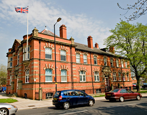
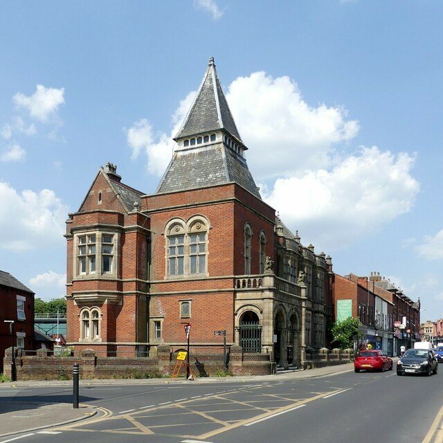
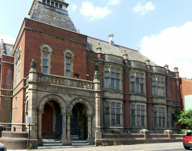
Hindley Town Hall

Hindley Town Hall, also known as Hindley Council Offices, is a municipal building in Cross Street, Hindley, Greater Manchester, England. The building is...

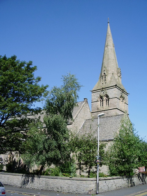
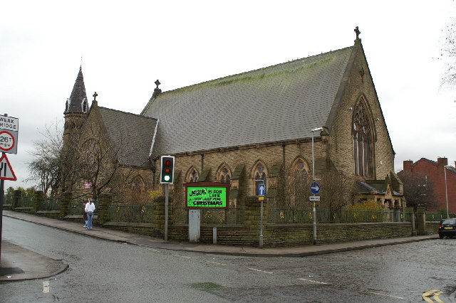
St Peter's Church, Hindley

St Peter's Church is located on the junction of Atherton Road and Liverpool Road, Hindley, Wigan, Greater Manchester, England. It is an active Anglican...

Hindley South railway station

Hindley South railway station served the communities of Hindley and Platt Bridge, south-east of Wigan, England. == Location and nearby stations == The...

Platt Bridge

Platt Bridge is a settlement in the Metropolitan Borough of Wigan, Greater Manchester, England, 2 miles (3.2 km) south of Wigan town centre along the spine...

Newbridge Learning Community

Newbridge Learning Community is a Special Educational Needs School in Wigan for pupils who have emotional, behavioural or social difficulties (EBSD). The...

Platt Bridge railway station

Platt Bridge railway station is a closed railway station in the Platt Bridge area of Wigan, England, where the line bridged Liverpool Road (the A58). Platt...

Nearby Amenities

Located within 500m of 53.53346,-2.5961577
Amberswood East Junction
Railway: junction
Lat/Long: 53.5335099/-2.5892912
The data included in this document is from www.openstreetmap.org. The data is made available under ODbL.

Have you been to Amberswood Common?

Leave your review of Amberswood Common below (or comments, questions and feedback).