Splott Park

Urban Greenspace in Glamorgan

Wales

Splott Park

Class 31 in Pengam Sidings A rare visitor to South Wales, Nemesis Rail class 31 No. 31128 is seen in Pengam Sidings, Cardiff. It had arrived to collect a class 57 locomotive that had failed on a railtour the previous weekend.
Class 31 in Pengam Sidings Credit: Gareth James

Splott Park is a charming urban greenspace located in the district of Splott in Glamorgan, Wales. Covering an area of approximately 18 acres, this park offers a peaceful and recreational escape from the bustling city life.

The park features well-maintained pathways that meander through lush green lawns and beautiful flowerbeds. It is dotted with numerous mature trees, providing ample shade on hot summer days. Splott Park's landscape is further enhanced by a picturesque lake, which serves as a focal point for visitors.

The park boasts excellent amenities for both children and adults. There is a large children's play area equipped with swings, slides, and climbing frames, ensuring endless entertainment for the little ones. Additionally, the park offers a well-equipped fitness area, providing opportunities for exercise and outdoor workouts.

Splott Park is a popular destination for sports enthusiasts, as it offers various sports facilities. It features a well-maintained football pitch, basketball court, and tennis courts, catering to a wide range of sporting activities. These facilities make the park an ideal spot for friendly matches and recreational games.

Furthermore, Splott Park hosts a variety of events and activities throughout the year. From community fairs to outdoor concerts, the park is a hub of social gatherings and cultural celebrations. It serves as a meeting place for locals, creating a sense of community and fostering a vibrant atmosphere.

Overall, Splott Park is a haven for nature lovers, sports enthusiasts, and families seeking outdoor recreation. Its well-kept grounds, diverse amenities, and lively atmosphere make it a cherished greenspace in the heart of Glamorgan.

If you have any feedback on the listing, please let us know in the comments section below.
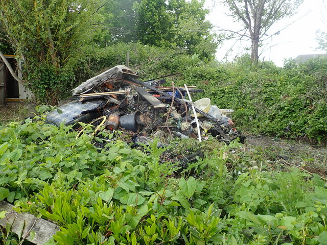
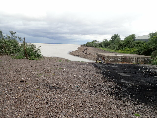
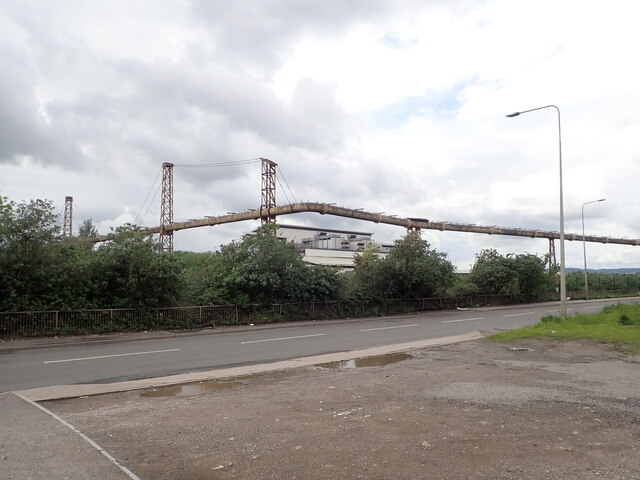
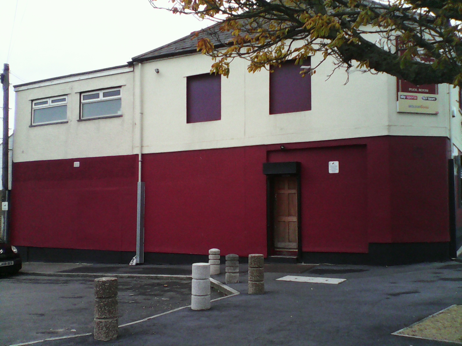
Splott Park Images

Images are sourced within 2km of 51.484977/-3.1441468 or Grid Reference ST2076. Thanks to Geograph Open Source API. All images are credited.

Class 31 in Pengam Sidings A rare visitor to South Wales, Nemesis Rail class 31 No. 31128 is seen in Pengam Sidings, Cardiff. It had arrived to collect a class 57 locomotive that had failed on a railtour the previous weekend.
Class 31 in Pengam Sidings
A rare visitor to South Wales, Nemesis Rail class 31 No. 31128 is seen in Pengam Sidings, Cardiff. It had arrived to collect a class 57 locomotive that had failed on a railtour the previous weekend.
Blue Pullman HST in Pengam Sidings Locomotive Services' Blue Pullman High Speed Train set arrives at Pengam Sidings, Cardiff, for overnight stabling prior to working a Swansea to Penzance railtour.
Blue Pullman HST in Pengam Sidings
Locomotive Services' Blue Pullman High Speed Train set arrives at Pengam Sidings, Cardiff, for overnight stabling prior to working a Swansea to Penzance railtour.
Entrance to Lamby Way Waste Management Centre For commercial and household waste and there is also a community recycling shop run by Wastesavers on this site.
Entrance to Lamby Way Waste Management Centre
For commercial and household waste and there is also a community recycling shop run by Wastesavers on this site.
Rhumney River at Lamby Way The Rhumney used to mark the border between the historic counties of Glamorgan and Monmouthshire.
Rhumney River at Lamby Way
The Rhumney used to mark the border between the historic counties of Glamorgan and Monmouthshire.
Approaching Rover Way roundabout
Horses tethered at Secret Station Secret Station is an abstract sculpture by Eilis O' Connell and is situated to the western entrance to Cardiff Bay in the Tremorfa area of the city. Two horses have been tethered on the roundabout.
Horses tethered at Secret Station
Secret Station is an abstract sculpture by Eilis O' Connell and is situated to the western entrance to Cardiff Bay in the Tremorfa area of the city. Two horses have been tethered on the roundabout.
Fly-tipped bonfire site Usual fly-tipped waste, but the recycling centre is less than a mile away.
Fly-tipped bonfire site
Usual fly-tipped waste, but the recycling centre is less than a mile away.
Horse tethered on the salt marsh at Newton I have noticed quite a few tethered horses on this stretch of the Wales Coast Path. There is a residential site for Gypsies and Travellers at Rover Way and these horses probably belong to them <a href="https://www.geograph.org.uk/photo/7010881">ST2177 : Horses tethered at Secret Station</a>
Horse tethered on the salt marsh at Newton
I have noticed quite a few tethered horses on this stretch of the Wales Coast Path. There is a residential site for Gypsies and Travellers at Rover Way and these horses probably belong to them ST2177 : Horses tethered at Secret Station
Wales Coast Path The path runs alongside Rover Way at Pengam Moors - more fly-tipping on the shoreline
Wales Coast Path
The path runs alongside Rover Way at Pengam Moors - more fly-tipping on the shoreline
Wales Coast Path On the outskirts of Cardiff
Wales Coast Path
On the outskirts of Cardiff
Wales Coast Path On the outskirts of Cardiff, but appears to be in the countryside. There is a dirt racing track just near here.
Wales Coast Path
On the outskirts of Cardiff, but appears to be in the countryside. There is a dirt racing track just near here.
Water Treatment Works Welsh Water produces its own electricity at this site.
Water Treatment Works
Welsh Water produces its own electricity at this site.
Water Treatment Works, Tremorfa Welsh Water produces its own electricity at this site using anaerobic digestion.
Water Treatment Works, Tremorfa
Welsh Water produces its own electricity at this site using anaerobic digestion.
Splott Beach Splott beach is sandwiched between the Bristol Channel and the Tremorfa waste water treatment works. The area behind the outfall has been used for burning rubbish
Splott Beach
Splott beach is sandwiched between the Bristol Channel and the Tremorfa waste water treatment works. The area behind the outfall has been used for burning rubbish
Inlet at Splott Into the Severn Estuary. The Welsh Coast Path turns inland here to avoid the docklands.
Inlet at Splott
Into the Severn Estuary. The Welsh Coast Path turns inland here to avoid the docklands.
Pipeline near Celsa Steelworks Looking at a map, the pipeline seems to run from/to the Steelworks at its northern end but disappears into the ground at the southern end.
Pipeline near Celsa Steelworks
Looking at a map, the pipeline seems to run from/to the Steelworks at its northern end but disappears into the ground at the southern end.
View towards the mouth of the Rumney River Looking from the sea wall towards Cardiff across the estuarine mud flats.
View towards the mouth of the Rumney River
Looking from the sea wall towards Cardiff across the estuarine mud flats.
Ambra in Roath Dock The ship is loaded with scrap metal for export.
Ambra in Roath Dock
The ship is loaded with scrap metal for export.
Show me another place!

Splott Park is located at Grid Ref: ST2076 (Lat: 51.484977, Lng: -3.1441468)

Unitary Authority: Cardiff

Police Authority: South Wales

What 3 Words

///simple.means.tall. Near Cardiff

Related Wikis

Willows High School

Willows High School (Welsh: Ysgol Uwchradd Willows) is a secondary school located in the Tremorfa area of Cardiff, Wales. It caters for pupils aged 11...

St Saviour's Church, Splott

St Saviour's Church is a Church in Wales church in Splott, Cardiff, South Wales. == Early history == In the late 19th Century, a large number of churches...

Tremorfa

Tremorfa (From Welsh; Tre town + morfa coastal marsh) is a district and community of the city of Cardiff, Wales. It falls into the Splott ward of Cardiff...

Roath railway station

Roath railway station was a short-lived railway station in Cardiff. It opened in 1899 and closed in 1917. The station was on the South Wales Main Line...

Nearby Amenities

Located within 500m of 51.484977,-3.1441468
Railway: switch
Lat/Long: 51.4809076/-3.1450215
Traffic Calming: hump
Lat/Long: 51.4871658/-3.1472734
Traffic Calming: hump
Lat/Long: 51.4885532/-3.147899
Direction: forward
Traffic Calming: table
Lat/Long: 51.4816321/-3.1459705
Crossing
Bicycle: yes
Crossing: uncontrolled
Crossing Markings: zebra
Crossing Ref: zebra
Tactile Paving: yes
Traffic Calming: table
Lat/Long: 51.4816137/-3.1460509
Splott
Is In: Cardiff
Name Cy: Y Sblot
Name En: Splott
Place: suburb
Population: 13261
Population Date: 2011-03-27
Source Population: https://www.nomisweb.co.uk
Lat/Long: 51.4834739/-3.1496075
Tremorfa
Is In: Cardiff
Place: suburb
Wikidata: Q7838183
Wikipedia: en:Tremorfa
Lat/Long: 51.4875957/-3.1414886
Barrier: bollard
Lat/Long: 51.4810498/-3.1462241
Turning Circle
Lat/Long: 51.4889703/-3.1416311
Turning Circle
Lat/Long: 51.4891943/-3.1454572
Turning Circle
Lat/Long: 51.4866278/-3.1413432
Barrier: bollard
Lat/Long: 51.4817306/-3.1461182
Library
STAR Hub
Access: yes
Addr City: Cardiff
Addr Housenumber: 18
Addr Postcode: CF24 2SJ
Addr Street: Muirton Road
Alt Name: Splott Library
Email: STARHub@cardiff.gov.uk
Internet Access: yes
Internet Access Fee: no
Leisure: sports_centre
Opening Hours: Mo-Tu 09:00-18:00; We 10:00-19:00; Th-Fr 09:00-18:00; Sa 09:00-15:00; Su off
Phone: +44 2920 788 505
Sport: swimming;fitness;exercise
Website: https://cardiffhubs.co.uk/hub/star-hub/
Wheelchair: yes
Lat/Long: 51.4844804/-3.1431693
Crossing
Crossing: uncontrolled
Crossing Ref: zebra
Lat/Long: 51.4860605/-3.1437693
Bus Stop
Bus: yes
Public Transport: platform
Route Ref: 3
Shelter: no
Source: survey
Lat/Long: 51.4860667/-3.1463655
Fast Food
Blue Star
Addr City: Cardiff
Addr Housenumber: 118
Addr Postcode: CF24 2PG
Addr Street: Carlisle Street
Cuisine: chinese
Fhrs Id: 968729
Source: survey
Lat/Long: 51.4851606/-3.1500954
Peter's Gents Hairdresser
Shop: hairdresser
Source: survey
Lat/Long: 51.4853767/-3.150291
Bus Stop
Naptan AtcoCode: 5710AWA10791
Naptan NaptanCode: cdipmpg
Route Ref: 3;1
Shelter: no
Source: survey
Lat/Long: 51.4864428/-3.1380573
Hair with Flair
Shop: hairdresser
Source: survey
Lat/Long: 51.4867086/-3.1431168
Post Box
Operator: Royal Mail
Post Box Manufacturer: A. Handyside and Co. Ltd
Post Box Type: pillar
Ref: CF24 161
Royal Cypher: VR
Royal Cypher Wikidata: Q33102356
Source: survey
Lat/Long: 51.4821682/-3.1485813
Railway: switch
Lat/Long: 51.4824354/-3.1452738
Railway: switch
Lat/Long: 51.4814355/-3.1451179
Railway: switch
Lat/Long: 51.4806561/-3.1448069
Railway: switch
Lat/Long: 51.4822229/-3.1452364
Railway: switch
Lat/Long: 51.4811706/-3.1450562
Crossing
Crossing: uncontrolled
Crossing Ref: zebra
Tactile Paving: yes
Lat/Long: 51.4879899/-3.1476151
Railway: level_crossing
Lat/Long: 51.4807744/-3.144968
Railway: level_crossing
Lat/Long: 51.4807876/-3.1448951
Railway: level_crossing
Lat/Long: 51.4808204/-3.1448184
Addr City: Cardiff
Addr Housenumber: 106A
Addr Street: Walker Road
Source: survey
Lat/Long: 51.4818832/-3.1485687
Post Box
Operator: Royal Mail
Post Box Type: lamp
Lat/Long: 51.4822106/-3.1424949
Give Way
Direction: forward
Lat/Long: 51.4813298/-3.1463715
Direction: backward
Traffic Calming: table
Lat/Long: 51.4815792/-3.1461436
Crossing
Crossing: uncontrolled
Crossing Ref: zebra
Lat/Long: 51.482123/-3.1483053
Give Way
Direction: backward
Lat/Long: 51.4822073/-3.1483943
Give Way
Direction: forward
Lat/Long: 51.4821418/-3.1484602
Give Way
Direction: backward
Lat/Long: 51.4828433/-3.1500766
Give Way
Direction: forward
Lat/Long: 51.4827888/-3.1501309
Crossing
Crossing: uncontrolled
Crossing Ref: zebra
Lat/Long: 51.482869/-3.1502343
Post Box
Operator: Royal Mail
Post Box Type: pillar
Lat/Long: 51.4830341/-3.1504986
Crossing
Crossing: uncontrolled
Crossing Ref: zebra
Kerb: flush
Tactile Paving: yes
Lat/Long: 51.4861282/-3.1469849
Stop
Direction: backward
Lat/Long: 51.4859977/-3.1468856
Crossing
Crossing: uncontrolled
Crossing Ref: zebra
Lat/Long: 51.4843503/-3.142675
Fast Food
Cuisine: indian
Lat/Long: 51.4874425/-3.147545
Crossing
Crossing: marked
Lat/Long: 51.4874108/-3.1414307
Barrier: cycle_barrier
Lat/Long: 51.485007/-3.1431167
Crossing
Lat/Long: 51.4842297/-3.1428522
Nisa Local
Brand: Nisa Local
Brand Wikidata: Q16999069
Brand Wikipedia: en:Nisa (retailer)
Shop: convenience
Lat/Long: 51.4867984/-3.1483352
Direction: NNE
Generator Method: photovoltaic
Generator Output Electricity: yes
Generator Solar Modules: 3
Generator Source: solar
Generator Type: solar_photovoltaic_panel
Location: roof
Power: generator
Lat/Long: 51.4845382/-3.1409026
Direction: ESE
Generator Method: photovoltaic
Generator Output Electricity: yes
Generator Solar Modules: 2
Generator Source: solar
Generator Type: solar_photovoltaic_panel
Location: roof
Power: generator
Lat/Long: 51.4845071/-3.1408872
Direction: WNW
Generator Method: photovoltaic
Generator Output Electricity: yes
Generator Solar Modules: 5
Generator Source: solar
Generator Type: solar_photovoltaic_panel
Location: roof
Power: generator
Lat/Long: 51.484521/-3.1409637
Direction: 265
Generator Method: photovoltaic
Generator Output Electricity: yes
Generator Solar Modules: 10
Generator Source: solar
Generator Type: solar_photovoltaic_panel
Location: roof
Power: generator
Lat/Long: 51.482553/-3.1415887
Direction: 85
Generator Method: photovoltaic
Generator Output Electricity: yes
Generator Solar Modules: 8
Generator Source: solar
Generator Type: solar_photovoltaic_panel
Location: roof
Power: generator
Lat/Long: 51.487945/-3.1438356
Direction: 265
Generator Method: photovoltaic
Generator Output Electricity: yes
Generator Solar Modules: 8
Generator Source: solar
Generator Type: solar_photovoltaic_panel
Location: roof
Power: generator
Lat/Long: 51.4879425/-3.1438943
Direction: 85
Generator Method: photovoltaic
Generator Output Electricity: yes
Generator Solar Modules: 8
Generator Source: solar
Generator Type: solar_photovoltaic_panel
Location: roof
Power: generator
Lat/Long: 51.4830602/-3.1401194
Direction: 215
Generator Method: photovoltaic
Generator Output Electricity: yes
Generator Solar Modules: 10
Generator Source: solar
Generator Type: solar_photovoltaic_panel
Location: roof
Power: generator
Lat/Long: 51.4817036/-3.1485178
Direction: 125
Generator Method: photovoltaic
Generator Output Electricity: yes
Generator Solar Modules: 8
Generator Source: solar
Generator Type: solar_photovoltaic_panel
Location: roof
Power: generator
Lat/Long: 51.487411/-3.1496952
Direction: 265
Generator Method: photovoltaic
Generator Output Electricity: yes
Generator Solar Modules: 4
Generator Source: solar
Generator Type: solar_photovoltaic_panel
Location: roof
Power: generator
Lat/Long: 51.4830547/-3.1401794
Direction: 215
Generator Method: photovoltaic
Generator Output Electricity: yes
Generator Solar Modules: 10
Generator Source: solar
Generator Type: solar_photovoltaic_panel
Location: roof
Power: generator
Lat/Long: 51.4812643/-3.1480095
Railway: level_crossing
Lat/Long: 51.4807701/-3.1449868
Railway: switch
Lat/Long: 51.4806315/-3.1449629
Post Box
Brand: Royal Mail
Brand Wikidata: Q638098
Check Date: 2021-07-21
Mapillary: 339523224470430
Operator: Royal Mail
Operator Wikidata: Q638098
Post Box Type: pillar
Source: mapillary
Survey Date: 2021-07-21
Lat/Long: 51.4843383/-3.1487137
Bus Stop
Bus: yes
Public Transport: platform
Lat/Long: 51.4827526/-3.1390814
Waste Basket
Lat/Long: 51.4827863/-3.1390854
Post Box
Check Date: 2018-09-08
Mapillary: 527251011853651
Operator: Royal Mail
Operator Wikidata: Q638098
Source: mapillary
Lat/Long: 51.484253/-3.139619
Post Box
Brand: Royal Mail
Brand Wikidata: Q638098
Check Date: 2020-09-20
Mapillary: 167227695332413
Operator: Royal Mail
Operator Wikidata: Q638098
Post Box Type: pillar
Source: mapillary
Survey Date: 2020-09-20
Lat/Long: 51.4872779/-3.1419378
Community Centre
Tremorfa Community Hall
Addr City: Cardiff
Addr Housenumber: 91
Addr Postcode: CF24 2QZ
Addr Street: Tweedsmuir Road
Email: info@ccha.org.uk
Operator: Cardiff Community Housing Association
Operator Type: association
Phone: +44 2920 468 490
Website: https://ccha.org.uk/community-centres/
Lat/Long: 51.4878329/-3.1411461
Social Facility
Tremorfa Pantry
Addr City: Cardiff
Addr Housename: Tremorfa Community Hall
Addr Postcode: CF24 2QZ
Addr Street: Tweedsmuir Road
Email: tremorfapantry@outlook.com
Opening Hours: Mo-Tu off; We 10:00-13:00; Th-Su off
Social Facility: food_bank
Lat/Long: 51.4878921/-3.1412185
Tremorfa Superstore
Addr City: Cardiff
Addr Housenumber: 47-49
Addr Postcode: CF24 2QZ
Addr Street: Tweedsmuir Road
Brand: Lifestyle Express
Brand Wikidata: Q61994869
Phone: +44 2920 462 969
Shop: convenience
Lat/Long: 51.487562/-3.1416205
Atlantic Bakery
Addr City: Cardiff
Addr Housenumber: 45
Addr Postcode: CF24 2QZ
Addr Street: Tweedsmuir Road
Opening Hours: Mo-Fr 07:30-16:00; Sa 07:30-15:00; Su 07:30-14:30
Phone: +44 7709 975 417
Shop: bakery
Lat/Long: 51.4875048/-3.1417195
Butchers Hook
Addr City: Cardiff
Addr Housenumber: 43
Addr Postcode: CF24 2QZ
Addr Street: Tweedsmuir Road
Alt Name: The Butchers Hook
Opening Hours: Mo-Fr 06:00-17:00; Sa 06:00-15:00; Su off
Phone: +44 2920 498 844
Shop: butcher
Website: https://online-deliveries.valefoodsltd.com/
Lat/Long: 51.4874654/-3.1417875
Fast Food
The Golden Fry
Addr City: Cardiff
Addr Housenumber: 41
Addr Postcode: CF24 2QZ
Addr Street: Tweedsmuir Road
Alt Name: Golden Fry
Cuisine: fish_and_chips
Drive Through: no
Opening Hours: Mo-Sa 11:30-14:00,16:00-21:30; Su off
Phone: +44 7503 285 504
Lat/Long: 51.4874213/-3.1418638
Addr City: Cardiff
Addr Housenumber: 53b
Addr Postcode: CF24 2QZ
Addr Street: Tweedsmuir Road
Lat/Long: 51.4877075/-3.1413848
Fast Food
Diamond Grill
Addr City: Cardiff
Addr Housenumber: 51
Addr Postcode: CF24 2QZ
Addr Street: Tweedsmuir Road
Cuisine: kebab;barbecue;chicken;burger
Drive Through: no
Opening Hours: Mo-Su 12:00-23:00
Phone: +44 2920 483 332
Website: https://diamondgrilltakeaway.co.uk
Lat/Long: 51.4876223/-3.1414988
Newsbox
Addr City: Cardiff
Addr Housenumber: 37
Addr Postcode: CF24 2QY
Addr Street: Tweedsmuir Road
Opening Hours: Mo-Fr 06:00-22:00; Sa-Su 07:00-22:00
Phone: +44 2920 462 857
Shop: convenience
Source: Bing;survey
Wheelchair: yes
Lat/Long: 51.4872226/-3.1422527
Barrier: bollard
Lat/Long: 51.4817324/-3.1460704
Barrier: bollard
Lat/Long: 51.4817312/-3.1460912
Barrier: bollard
Lat/Long: 51.4817276/-3.1461449
Barrier: bollard
Lat/Long: 51.4817266/-3.1461687
Crossing
Bicycle: yes
Crossing: uncontrolled
Crossing Markings: dots
Tactile Paving: yes
Traffic Calming: table
Lat/Long: 51.481599/-3.1460932
Give Way
Direction: backward
Lat/Long: 51.4815171/-3.1467468
Bus Stop
Bus: yes
Naptan AtcoCode: 5710AWA10797
Naptan NaptanCode: cdipmtm
Public Transport: platform
Lat/Long: 51.4816016/-3.1463227
Crossing
Crossing: unmarked
Crossing Markings: no
Tactile Paving: yes
Traffic Calming: table
Lat/Long: 51.4812106/-3.1461836
Barrier: bollard
Lat/Long: 51.4810768/-3.1462635
Barrier: bollard
Lat/Long: 51.4810616/-3.1462422
Barrier: bollard
Lat/Long: 51.481035/-3.1462061
Barrier: bollard
Lat/Long: 51.4810233/-3.1461893
Barrier: bollard
Lat/Long: 51.4810891/-3.1462803
Barrier: bollard
Lat/Long: 51.4810103/-3.1461675
Crossing
Lat/Long: 51.4818098/-3.1442757
Barrier: cycle_barrier
Lat/Long: 51.4818693/-3.1436925
Bicycle Parking
Capacity: 8
Lat/Long: 51.481865/-3.1440549
Barrier: cycle_barrier
Lat/Long: 51.4833824/-3.1425424
Crossing
Crossing: unmarked
Crossing Markings: no
Tactile Paving: yes
Lat/Long: 51.4833168/-3.1424413
Crossing
Crossing: unmarked
Crossing Markings: no
Lat/Long: 51.48531/-3.1431262
Crossing
Crossing: unmarked
Crossing Markings: no
Tactile Paving: yes
Lat/Long: 51.4849082/-3.14299
Bicycle Parking
Capacity: 26
Lat/Long: 51.4847305/-3.1432204
Give Way
Direction: backward
Lat/Long: 51.4847177/-3.143958
Crossing
Crossing: uncontrolled
Lat/Long: 51.4847277/-3.1437894
Crossing
Crossing: uncontrolled
Lat/Long: 51.4848582/-3.1431303
Crossing
Lat/Long: 51.4842463/-3.1427233
The data included in this document is from www.openstreetmap.org. The data is made available under ODbL.

Have you been to Splott Park?

Leave your review of Splott Park below (or comments, questions and feedback).