Central Beach
Beach in Essex Tendring
England
Central Beach
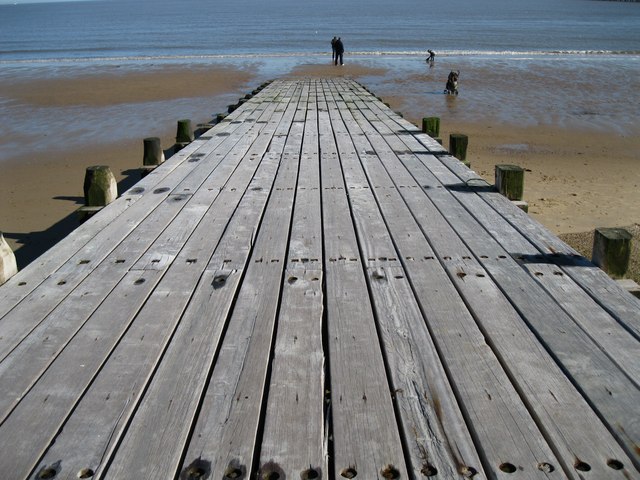
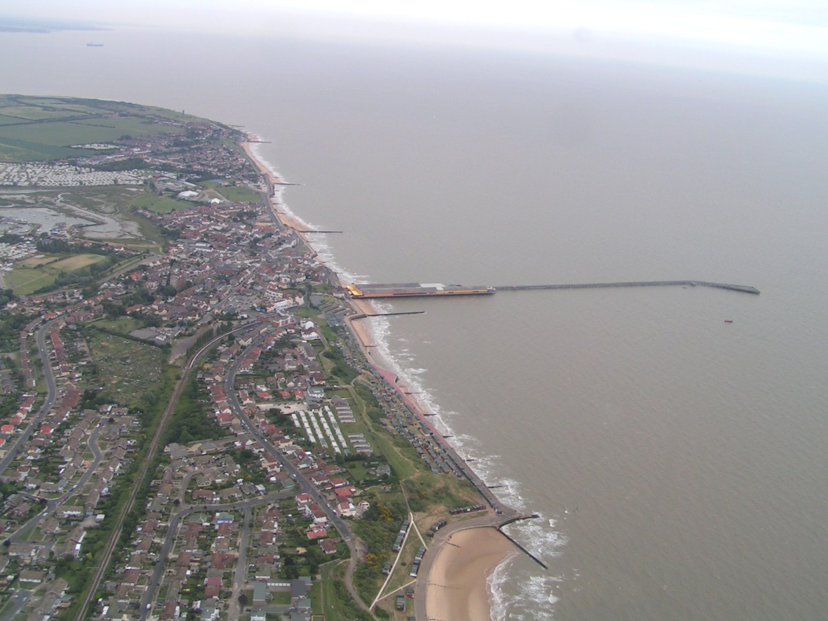
Central Beach is a popular coastal destination located in the town of Essex, England. Situated on the east coast of the country, it offers a picturesque seaside setting, attracting locals and tourists alike. With its sandy shores and stunning views of the North Sea, Central Beach is a haven for beachgoers and outdoor enthusiasts.
The beach stretches for approximately two miles and is known for its clean and well-maintained environment. It offers a range of facilities and amenities, including a paved promenade that runs parallel to the shoreline. This promenade is perfect for leisurely walks, cycling, or simply enjoying the fresh sea breeze.
Central Beach provides ample parking space for visitors, making it easily accessible by car. Additionally, public transport options, such as buses and trains, are available nearby, ensuring convenient access for those without private transportation.
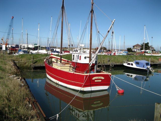
The beach is renowned for its family-friendly atmosphere, with lifeguards on duty during peak seasons, ensuring the safety of swimmers. It boasts excellent water quality, making it suitable for swimming and water sports activities. Moreover, the beach provides opportunities for fishing, with fishing enthusiasts often seen casting their lines from the shore.
For those seeking entertainment and refreshments, Central Beach offers a range of cafes, restaurants, and ice cream parlors along the promenade. These establishments provide a variety of delectable treats and beverages for visitors to enjoy while soaking up the sun.
Overall, Central Beach in Essex provides a delightful coastal experience with its beautiful sandy shores, stunning views, and a range of amenities, making it an ideal destination for a day out by the sea.
If you have any feedback on the listing, please let us know in the comments section below.
Central Beach Images
Images are sourced within 2km of 51.847518/1.2731118 or Grid Reference TM2521. Thanks to Geograph Open Source API. All images are credited.


Central Beach is located at Grid Ref: TM2521 (Lat: 51.847518, Lng: 1.2731118)
Administrative County: Essex
District: Tendring
Police Authority: Essex
What 3 Words
///extremely.quilting.worlds. Near Walton-on-the-Naze, Essex
Nearby Locations
Related Wikis

Walton and Frinton Lifeboat Station
Walton and Frinton Lifeboat Station is an RNLI station located in the town of Walton-on-the-Naze in the English county of Essex. The current all-weather...
Walton-on-the-Naze
Walton-on-the-Naze is a seaside town on the North Sea coast. It is part of the parish of Frinton and Walton, in the Tendring district in Essex, England...
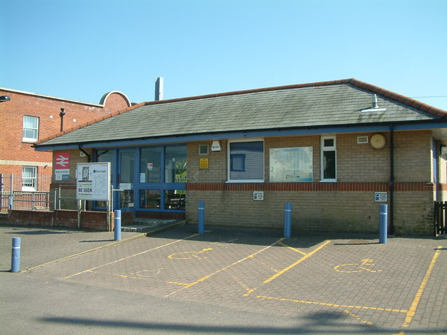
Walton-on-the-Naze railway station
Walton-on-the-Naze railway station is one of the two eastern termini of the Sunshine Coast Line, a branch of the Great Eastern Main Line, in the East of...

Frinton and Walton
Frinton and Walton is a civil parish in the Tendring district of Essex, England. It is a successor parish, established in 1974 to replace the Frinton and...
Nearby Amenities
Located within 500m of 51.847518,1.2731118Have you been to Central Beach?
Leave your review of Central Beach below (or comments, questions and feedback).