Sandy Point
Beach in Essex Tendring
England
Sandy Point
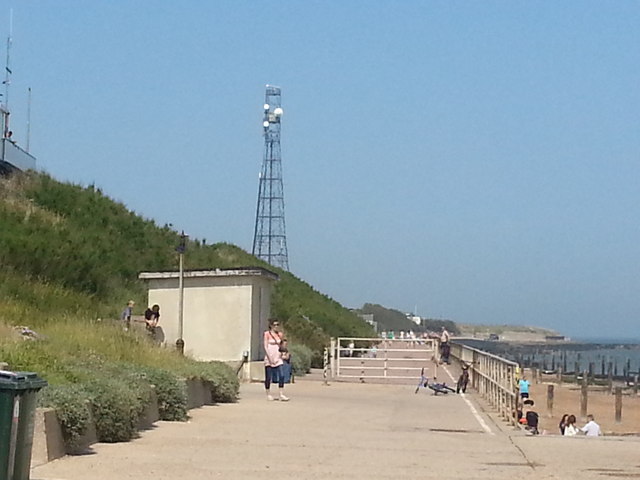
Sandy Point is a picturesque beach located in the county of Essex, England. Situated along the eastern coast of the country, it is known for its stunning natural beauty and serene atmosphere. Sandy Point is situated between the towns of Southend-on-Sea and Shoeburyness, making it easily accessible to visitors from both locations.
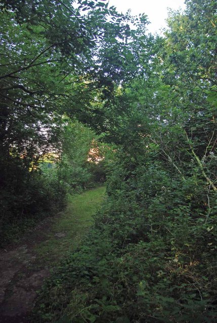
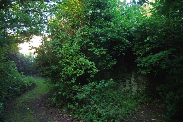
The beach itself stretches for approximately two miles, providing ample space for visitors to relax, sunbathe, and enjoy the refreshing saltwater of the North Sea. Sandy Point boasts fine golden sand, which is perfect for building sandcastles or simply taking a leisurely stroll along the shoreline. The beach is backed by dunes and grassy areas, offering a peaceful retreat from the hustle and bustle of everyday life.
Due to its location, Sandy Point benefits from a relatively mild climate, making it an enjoyable destination for beachgoers throughout the year. During the summer months, the beach becomes a popular spot for families and tourists seeking a day of fun and relaxation. The calm waters and gentle waves also make it suitable for swimming and various water activities.
Additionally, Sandy Point is known for its wildlife and nature reserves. The area is home to a diverse range of bird species, including wading birds and migratory species, making it a haven for birdwatchers and nature enthusiasts. The nearby salt marshes and mudflats provide a unique ecosystem that supports a variety of marine life.
Overall, Sandy Point is a delightful beach destination that offers something for everyone. Whether you are seeking a tranquil retreat or a day of fun in the sun, this charming beach in Essex is sure to leave a lasting impression.
If you have any feedback on the listing, please let us know in the comments section below.
Sandy Point Images
Images are sourced within 2km of 51.817249/1.2326173 or Grid Reference TM2218. Thanks to Geograph Open Source API. All images are credited.


Sandy Point is located at Grid Ref: TM2218 (Lat: 51.817249, Lng: 1.2326173)
Administrative County: Essex
District: Tendring
Police Authority: Essex
What 3 Words
///example.nibbled.springing. Near Frinton-on-Sea, Essex
Nearby Locations
Related Wikis
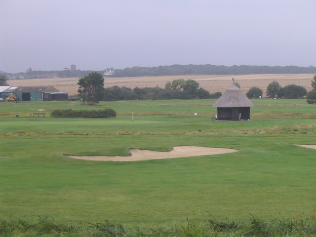
Frinton Golf Club
Frinton Golf Club is a coastal golf club, located on the suburbs of Frinton-on-Sea, Essex, England.The club was instituted founded in 1895 and officially...
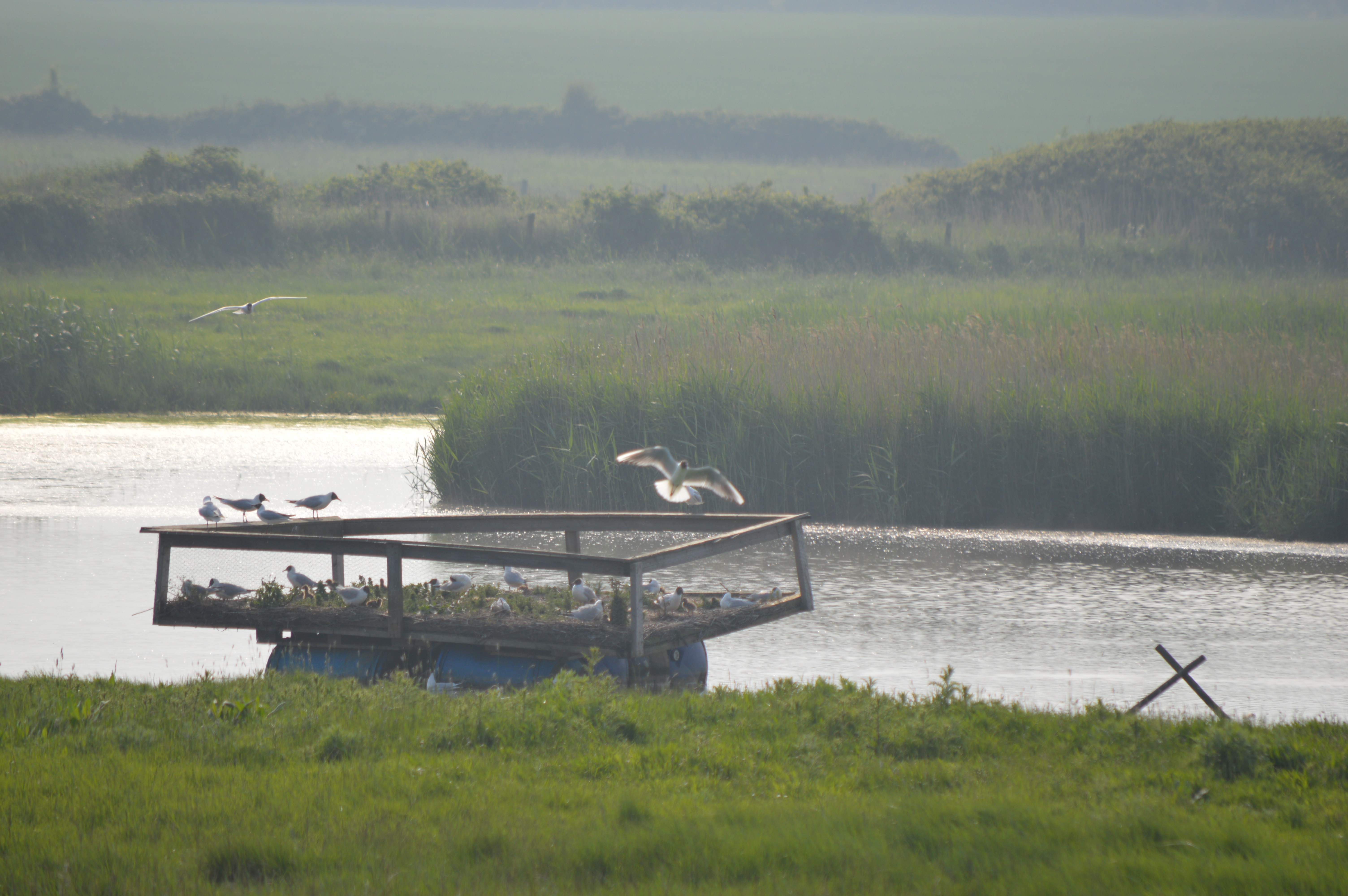
Holland Haven Marshes
Holland Haven Marshes is a 208.8-hectare (516-acre) biological Site of Special Scientific Interest north-east of Clacton-on-Sea in Essex. It is an L shaped...

Frinton-on-Sea
Frinton-on-Sea is a seaside town and (as just Frinton) a former civil parish, now in the parish of Frinton and Walton, in the Tendring district of Essex...

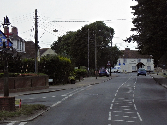
Great Holland
Great Holland is a village and former civil parish, now in the parish of Frinton and Walton, in the Tendring district, in the county of Essex, England...
Nearby Amenities
Located within 500m of 51.817249,1.2326173Have you been to Sandy Point?
Leave your review of Sandy Point below (or comments, questions and feedback).