Angling Wyke
Beach in Yorkshire
England
Angling Wyke
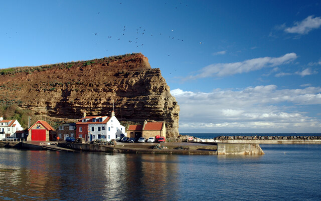
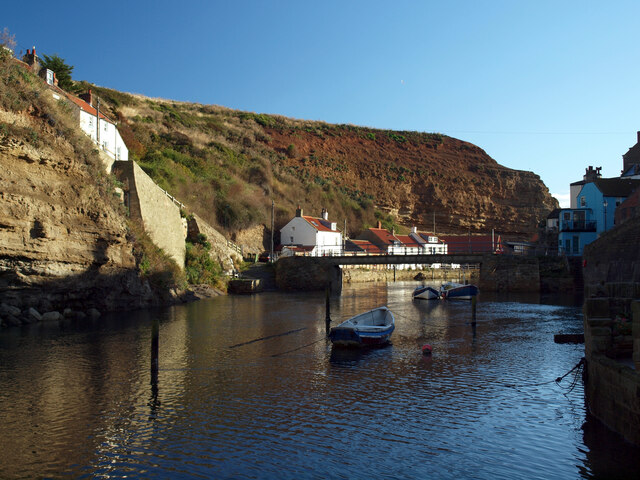
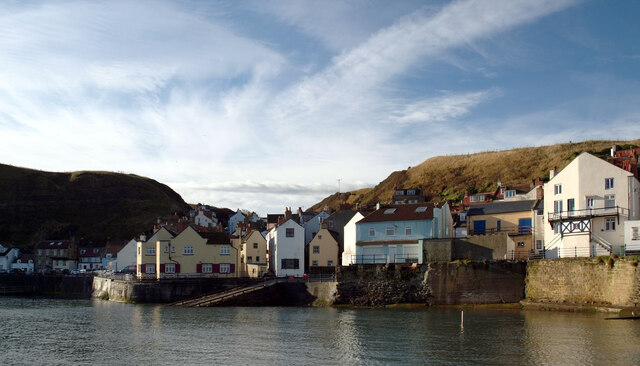
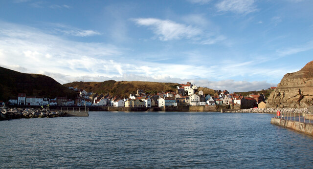
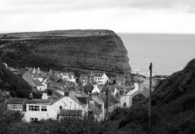
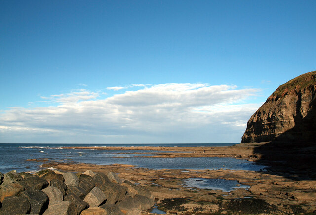
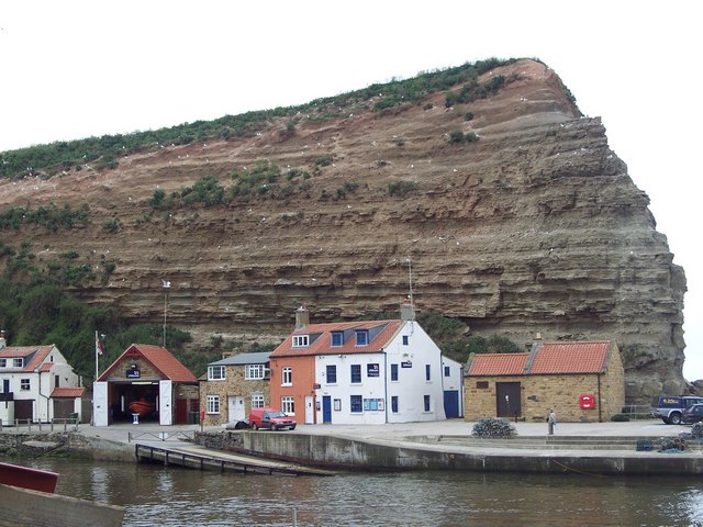
Angling Wyke is a picturesque beach located on the east coast of Yorkshire, England. Situated near the small village of Wyke, it is a popular destination for both locals and tourists seeking a tranquil seaside retreat. The beach is nestled between towering cliffs and offers breathtaking views of the North Sea.
The golden sandy beach stretches for approximately half a mile, providing ample space for sunbathing, picnicking, and leisurely walks. Angling Wyke is known for its clean and well-maintained shoreline, making it ideal for families and beachgoers of all ages. The gently sloping beach also boasts calm waters, making it safe for swimming and paddling.
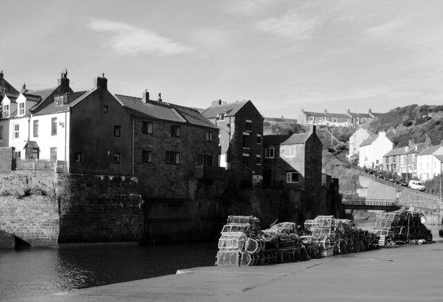
One of the main attractions of Angling Wyke is its excellent fishing opportunities. Anglers flock to this spot to try their luck at catching a variety of fish species, such as mackerel, cod, and flatfish. The beach provides easy access to the water, and there are several fishing points along the coast.
Facilities at Angling Wyke include public toilets, a car park, and a nearby café where visitors can grab refreshments. The beach is also equipped with lifeguard services during the peak summer months, ensuring the safety of swimmers.
Nature enthusiasts will appreciate the biodiversity found around Angling Wyke. The beach is surrounded by cliffs that are home to various seabirds, including puffins, guillemots, and gulls. Additionally, the nearby nature reserve provides opportunities for exploring coastal flora and fauna.
Overall, Angling Wyke offers a peaceful and scenic coastal experience, combining sandy beaches, excellent fishing, and stunning natural beauty. Whether visitors are seeking relaxation or adventure, this Yorkshire beach has something to offer for everyone.
If you have any feedback on the listing, please let us know in the comments section below.
Angling Wyke Images
Images are sourced within 2km of 54.558881/-0.80863541 or Grid Reference NZ7718. Thanks to Geograph Open Source API. All images are credited.


Angling Wyke is located at Grid Ref: NZ7718 (Lat: 54.558881, Lng: -0.80863541)
Division: North Riding
Unitary Authority: Redcar and Cleveland
Police Authority: Cleveland
What 3 Words
///strange.custodian.torch. Near Loftus, North Yorkshire
Nearby Locations
Related Wikis
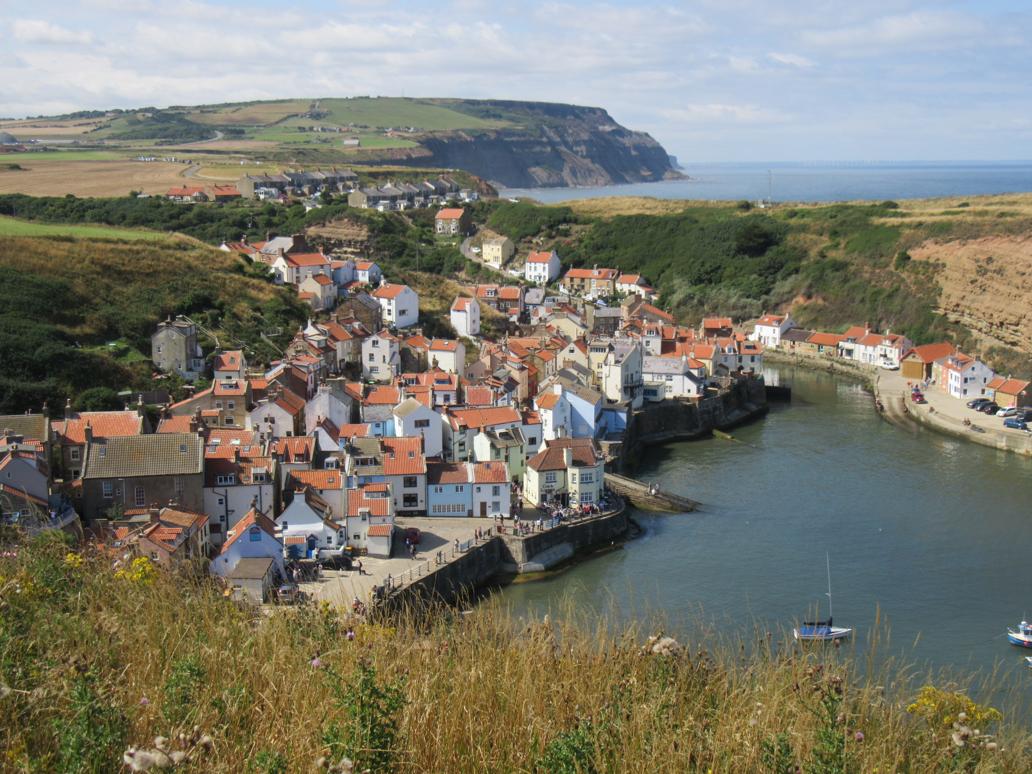
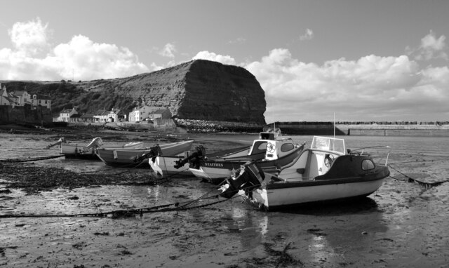
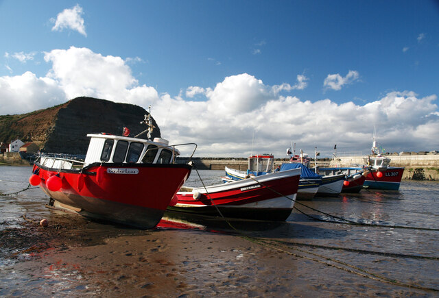
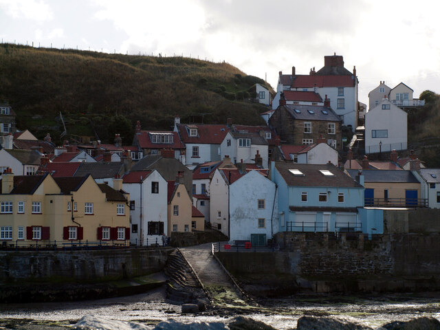
Staithes
Staithes is a seaside village in North Yorkshire, England. Easington and Roxby Becks, two brooks that run into Staithes Beck, form the border between the...
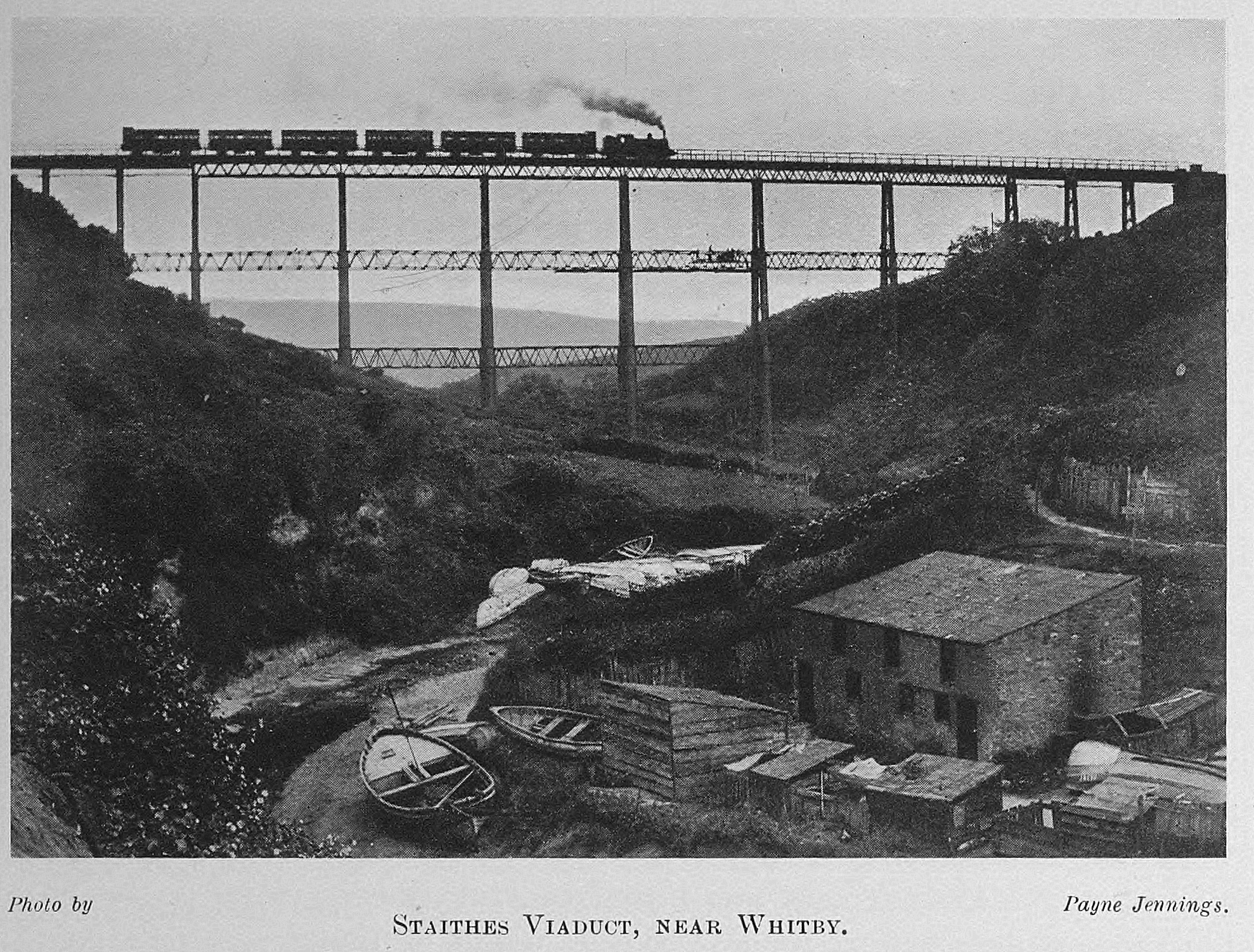
Staithes Viaduct
Staithes Viaduct was a railway bridge that straddled Staithes Beck at Staithes, Yorkshire, England. It was north of the closed Staithes railway station...

Staithes railway station
Staithes railway station was a railway station on the Whitby Redcar and Middlesbrough Union Railway, serving the villages of Staithes and Dalehouse in...
Staithes and Runswick Lifeboat Station
Staithes and Runswick Lifeboat Station is a Royal National Lifeboat Institution (RNLI) lifeboat station based in the village of Staithes, North Yorkshire...

ZEPLIN-III
The ZEPLIN-III dark matter experiment attempted to detect galactic WIMPs using a 12 kg liquid xenon target. It operated from 2006 to 2011 at the Boulby...

Directional Recoil Identification from Tracks
The Directional Recoil Identification from Tracks (DRIFT) detector is a low pressure negative ion time projection chamber (NITPC) designed to detect weakly...

UK Dark Matter Collaboration
The UK Dark Matter Collaboration (UKDMC) (1987–2007) was an experiment to search for Weakly interacting massive particles (WIMPs). The consortium consisted...

Boulby Mine
Boulby Mine is a 200-hectare (490-acre) site located just south-east of the village of Boulby, on the north-east coast of the North York Moors in Loftus...
Nearby Amenities
Located within 500m of 54.558881,-0.80863541Have you been to Angling Wyke?
Leave your review of Angling Wyke below (or comments, questions and feedback).