Llanddewi

Settlement in Glamorgan

Wales

Llanddewi

Sunset over Scurlage Taken looking west-southwest towards Port Eynon from outside The Countryman pub, the sign of which is silhouetted on the left of the image.
Sunset over Scurlage Credit: Robert Lamb

The requested URL returned error: 429 Too Many Requests

If you have any feedback on the listing, please let us know in the comments section below.
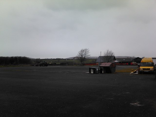
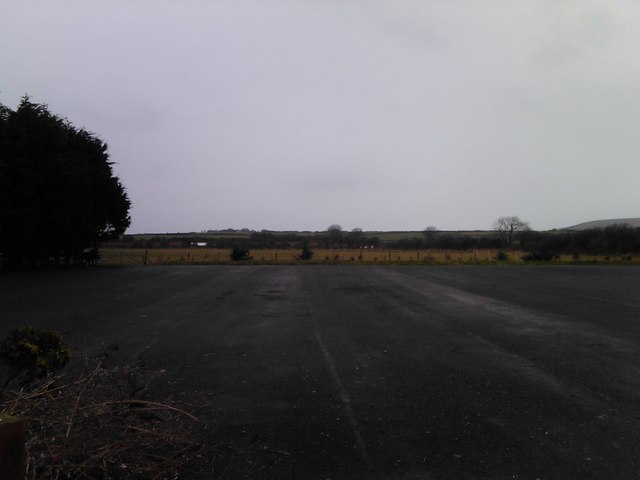
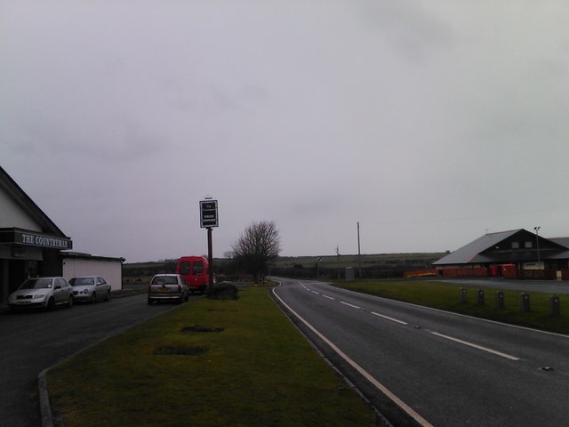
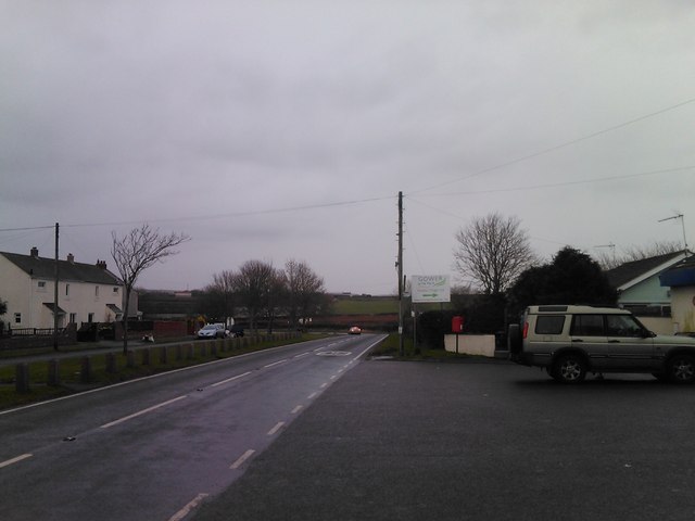
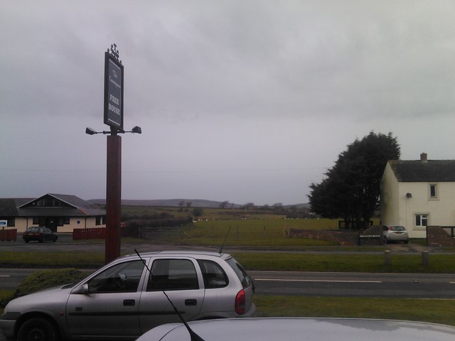
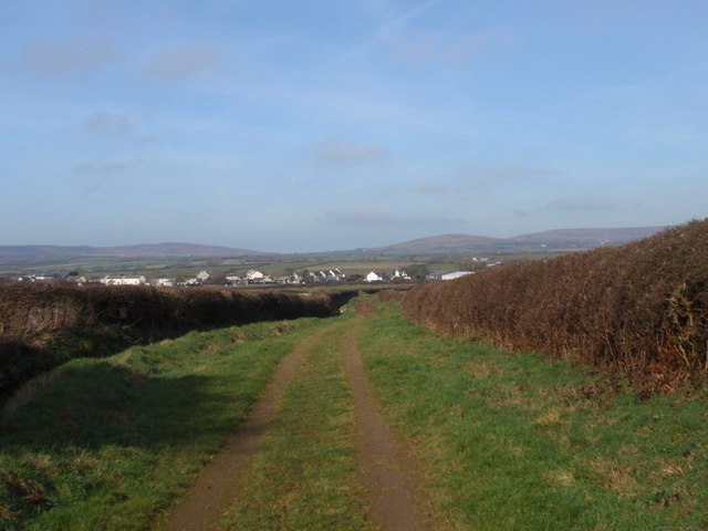
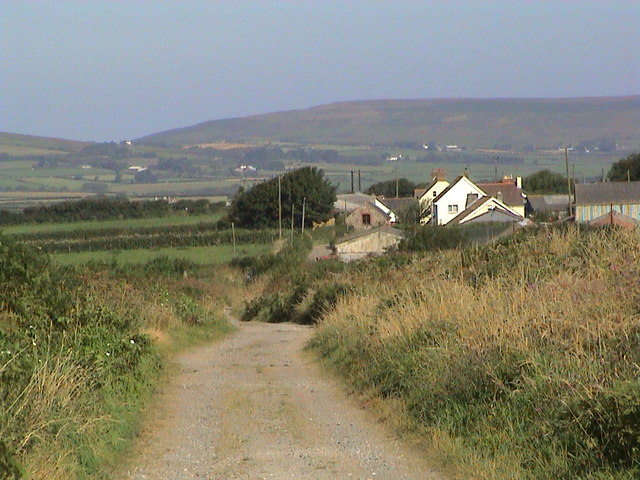
Llanddewi Images

Images are sourced within 2km of 51.579756/-4.223032 or Grid Reference SS4689. Thanks to Geograph Open Source API. All images are credited.

Sunset over Scurlage Taken looking west-southwest towards Port Eynon from outside The Countryman pub, the sign of which is silhouetted on the left of the image.
Sunset over Scurlage
Taken looking west-southwest towards Port Eynon from outside The Countryman pub, the sign of which is silhouetted on the left of the image.
Sunset over Scurlage #2 Taken looking west-southwest from the Gower Holiday Village. The silhouetted building to the right is the rear of The Countryman pub.
Sunset over Scurlage #2
Taken looking west-southwest from the Gower Holiday Village. The silhouetted building to the right is the rear of The Countryman pub.
View of the hills from Gower Holiday Village Looking northwest.
View of the hills from Gower Holiday Village
Looking northwest.
View across the fields from Gower Holiday Village Looking west.
View across the fields from Gower Holiday Village
Looking west.
Looking towards Port Eynon Taken outside The Countryman pub looking west-southwest.
Looking towards Port Eynon
Taken outside The Countryman pub looking west-southwest.
Looking east-northeast along Monksland Road From outside the Gower Holiday Village.
Looking east-northeast along Monksland Road
From outside the Gower Holiday Village.
View of the hills from outside the Countryman pub Looking north-northwest.
View of the hills from outside the Countryman pub
Looking north-northwest.
Llwybr march Scurlage bridleway Hen heol werdd a arwain o Hangman's Cross at Scurlage. Gellir gweld y pentre hwnnw yn y pellter. Mae'r heol bellach wedi'i hisraddio i lwybr march.

Old green road leading from Hangman's Cross to Scurlage village which one can see in the distance. The road has long been downgraded to a bridleway.
Llwybr march Scurlage bridleway
Hen heol werdd a arwain o Hangman's Cross at Scurlage. Gellir gweld y pentre hwnnw yn y pellter. Mae'r heol bellach wedi'i hisraddio i lwybr march. Old green road leading from Hangman's Cross to Scurlage village which one can see in the distance. The road has long been downgraded to a bridleway.
Ffarm Newton Farm, Pilton Green Cerddwyr yn anelu at Ffarm Newton (adfail) ger Pilton Green, Gwyr.

Walkers going in the direction of Newton Farm (ruin) near Pilton Green, Gower.
Ffarm Newton Farm, Pilton Green
Cerddwyr yn anelu at Ffarm Newton (adfail) ger Pilton Green, Gwyr. Walkers going in the direction of Newton Farm (ruin) near Pilton Green, Gower.
Ffarm Newton Farm, Pilton Green Ffarm Newton ger Pilton Green sy wedi mynd a'i ben iddo.

Newton Farm which has become a sad ruin.
Ffarm Newton Farm, Pilton Green
Ffarm Newton ger Pilton Green sy wedi mynd a'i ben iddo. Newton Farm which has become a sad ruin.
Berry, The Gower Approaching Berry on the track and bridleway
Berry, The Gower
Approaching Berry on the track and bridleway
Old Henllys Farmhouse A Grade II listed building called Old Henllys Farmhouse.  The farmhouse was built in the 16th century as a storeyed hall house.  It was later converted into a domestic residence at some point and extended on the east side in the 18th century, with a 20th century kitchen extension to the rear.  

The large gable end Flemish type chimney on the western end of the farmhouse is now completely obscured and undoubtedly damaged by the ivy which also extends onto the roof.  

The farmhouse appears to be uninhabited since the death of Gladys Tucker who is buried at Llanddewi Church.  The Tucker family had lived here for more than a century.

<span class="nowrap"><a title="http://www.explore-gower.co.uk/explore/gower-landmarks/villages/llanddewi" rel="nofollow ugc noopener" href="http://www.explore-gower.co.uk/explore/gower-landmarks/villages/llanddewi">Link</a><img style="margin-left:2px;" alt="External link" title="External link - shift click to open in new window" src="https://s1.geograph.org.uk/img/external.png" width="10" height="10"/></span>
Old Henllys Farmhouse
A Grade II listed building called Old Henllys Farmhouse. The farmhouse was built in the 16th century as a storeyed hall house. It was later converted into a domestic residence at some point and extended on the east side in the 18th century, with a 20th century kitchen extension to the rear. The large gable end Flemish type chimney on the western end of the farmhouse is now completely obscured and undoubtedly damaged by the ivy which also extends onto the roof. The farmhouse appears to be uninhabited since the death of Gladys Tucker who is buried at Llanddewi Church. The Tucker family had lived here for more than a century. LinkExternal link
Old Henllys Farmhouse A Grade II listed building called Old Henllys Farmhouse. The farmhouse was built in the 16th century as a storeyed hall house. It was later converted into a domestic residence at some point and extended on the east side in the 18th century, with a 20th century kitchen extension to the rear. 

The large gable end Flemish type chimney on the western end of the farmhouse is now completely obscured and undoubtedly damaged by the ivy which also extends onto the roof. 

The farmhouse appears to be uninhabited since the death of Gladys Tucker who is buried at Llanddewi Church. The Tucker family had lived here for more than a century.

<span class="nowrap"><a title="http://www.explore-gower.co.uk/explore/gower-landmarks/villages/llanddewi" rel="nofollow ugc noopener" href="http://www.explore-gower.co.uk/explore/gower-landmarks/villages/llanddewi">Link</a><img style="margin-left:2px;" alt="External link" title="External link - shift click to open in new window" src="https://s1.geograph.org.uk/img/external.png" width="10" height="10"/></span>
Old Henllys Farmhouse
A Grade II listed building called Old Henllys Farmhouse. The farmhouse was built in the 16th century as a storeyed hall house. It was later converted into a domestic residence at some point and extended on the east side in the 18th century, with a 20th century kitchen extension to the rear. The large gable end Flemish type chimney on the western end of the farmhouse is now completely obscured and undoubtedly damaged by the ivy which also extends onto the roof. The farmhouse appears to be uninhabited since the death of Gladys Tucker who is buried at Llanddewi Church. The Tucker family had lived here for more than a century. LinkExternal link
Ffarm Old Henllys / Old Henllys Farm Ffarm Old Henllys (Fe'i gelwir yn 'hentlis' yn lleol) ar Heol Kingshall. Flynyddoedd yn ol dyma oedd cartref Teulu'r Mansel a dywedir iddynt gadw nwyddau gwaharddedig yno mewn seleri tanddaearol. 

Old Henllys Farm (trans. old court and known locally as 'hentlis') is alongside an ancient road known as Kingshall Lane. The house was once owned by the Mansel Family and tradition has it that they hid contraband goods in underground cellars at the property.
Ffarm Old Henllys / Old Henllys Farm
Ffarm Old Henllys (Fe'i gelwir yn 'hentlis' yn lleol) ar Heol Kingshall. Flynyddoedd yn ol dyma oedd cartref Teulu'r Mansel a dywedir iddynt gadw nwyddau gwaharddedig yno mewn seleri tanddaearol. Old Henllys Farm (trans. old court and known locally as 'hentlis') is alongside an ancient road known as Kingshall Lane. The house was once owned by the Mansel Family and tradition has it that they hid contraband goods in underground cellars at the property.
Ordnance Survey Cut Mark This OS cut mark can be found on the porch of St David's Church. It marks a point 50.447m above mean sea level.
Ordnance Survey Cut Mark
This OS cut mark can be found on the porch of St David's Church. It marks a point 50.447m above mean sea level.
Ordnance Survey Cut Mark This OS cut mark can be found on an outbuilding at Middle Mill. It marks a point 29.304m above mean sea level.
Ordnance Survey Cut Mark
This OS cut mark can be found on an outbuilding at Middle Mill. It marks a point 29.304m above mean sea level.
A4118 descends to Puck's Hollow
A4118 at Knelston filling station
Show me another place!

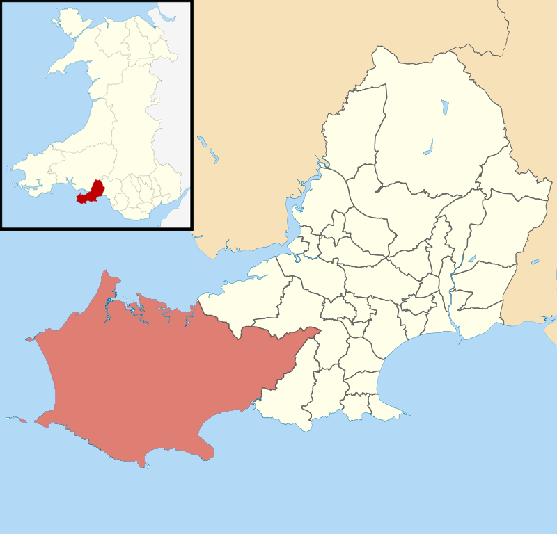
Llanddewi is located at Grid Ref: SS4689 (Lat: 51.579756, Lng: -4.223032)

Unitary Authority: Swansea

Police Authority: South Wales

What 3 Words

///gross.onlookers.beefed. Near Rhossili, Swansea

Nearby Locations

Llanddewi Dewstow

Related Wikis

South Gower A.F.C.

South Gower F.C. is a football club based in Scurlage in Wales, The club plays in the Ardal Leagues South West, which is the third tier of the Welsh football...

Gower (electoral ward)

Gower (Welsh: Gŵyr) electoral ward is an electoral ward in Britain. It is a ward of the City and County of Swansea, and comprises the western part of the...

Reynoldston

Reynoldston is a rural village and a community in the City and County of Swansea, Wales, which had a population of 439 in 2011. The community has its own...

Penrice (community)

Penrice is a village and community in Swansea county, Wales on the Gower peninsula. It had a population of 451 as of the 2011 UK census and includes the...

Nearby Amenities

Located within 500m of 51.579756,-4.223032
Bus Stop
Llanddewi Old Vicarage
Bench: yes
Bin: no
Bus: yes
Lit: no
Naptan AtcoCode: 5810AWC50491
Naptan Bearing: N
Naptan CommonName: Llanddewi Old Vicarage (N)
Naptan NaptanCode: swagpwp
Naptan Street: A4118
Naptan Verified: no
Public Transport: platform
Shelter: yes
Source: naptan_import
Tactile Paving: no
Lat/Long: 51.5778622/-4.2188882
Barrier: stile
Lat/Long: 51.5757071/-4.2222884
Barrier: stile
Lat/Long: 51.5787438/-4.2231484
Barrier: stile
Lat/Long: 51.5786476/-4.2192323
Source: OS_OpenData_StreetView
Lat/Long: 51.5788146/-4.2252946
Source: OS_OpenData_StreetView
Lat/Long: 51.5792825/-4.2231633
Source: OS_OpenData_StreetView
Lat/Long: 51.579385/-4.2231551
Llanddewi
Place: village
Wikidata: Q20593700
Wikipedia: cy:Llanddewi, Gŵyr
Lat/Long: 51.5789879/-4.2237972
Gower Way 6
Information: route_marker
Marker: stone
Name Cy: Ffordd Gŵyr 6
Ref: 6
Tourism: information
Lat/Long: 51.5787564/-4.2231106
The data included in this document is from www.openstreetmap.org. The data is made available under ODbL.

Have you been to Llanddewi?

Leave your review of Llanddewi below (or comments, questions and feedback).